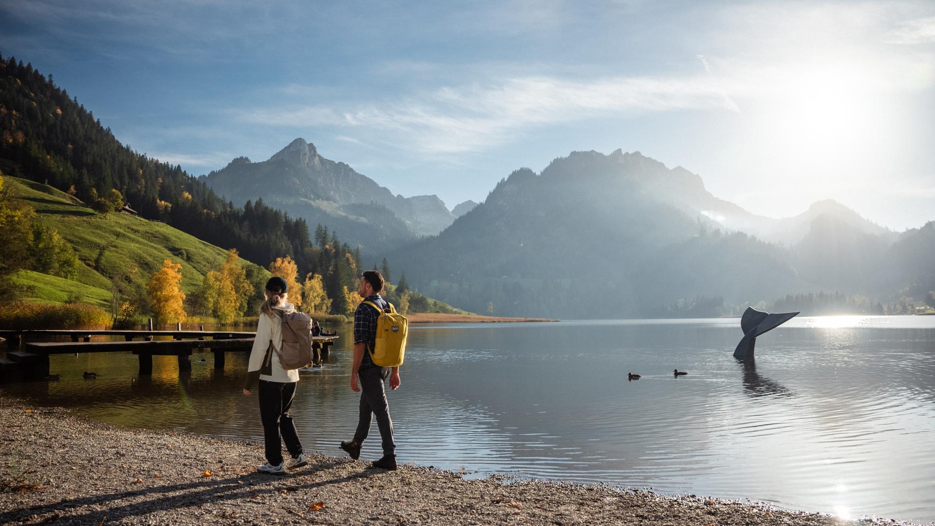
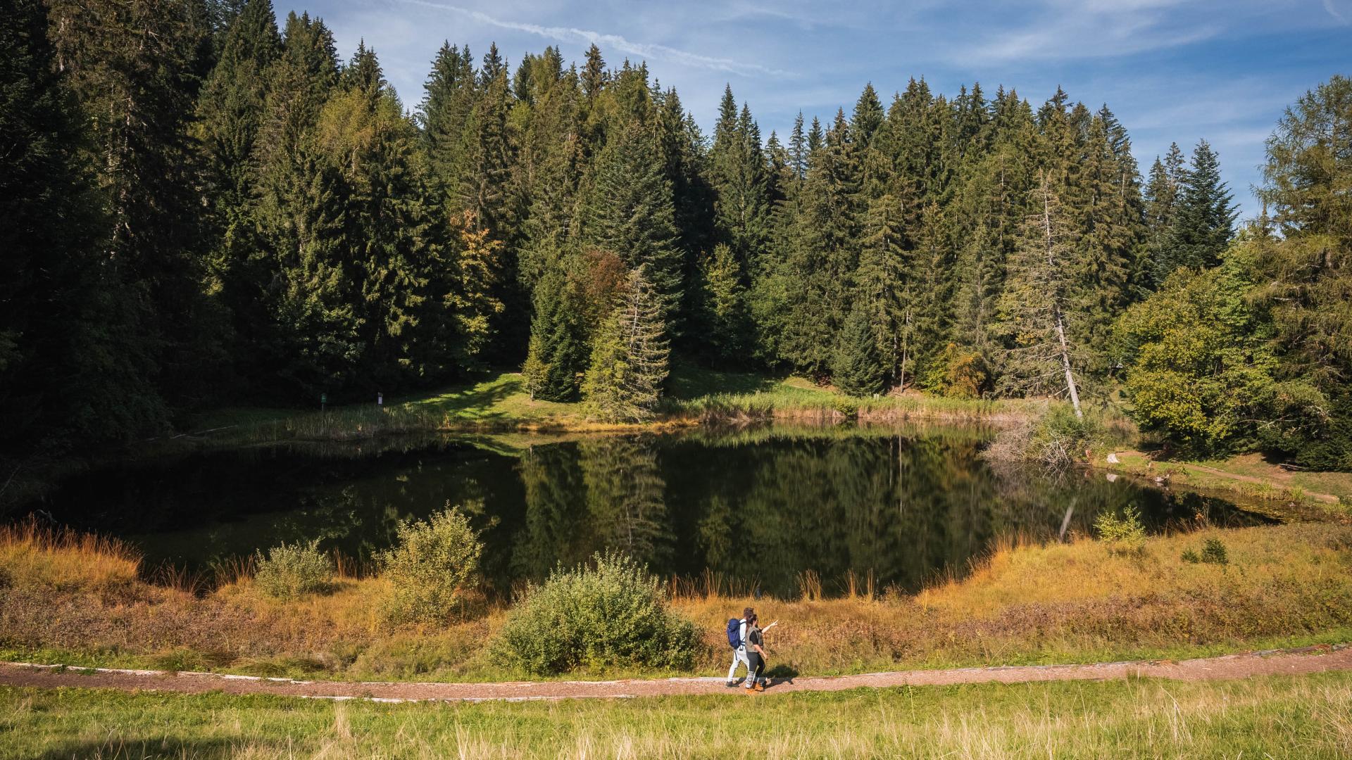
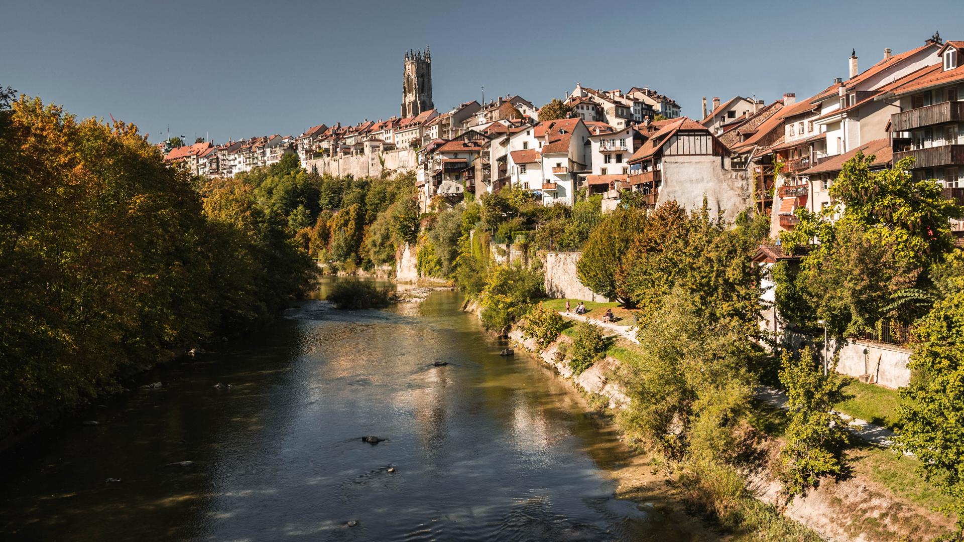


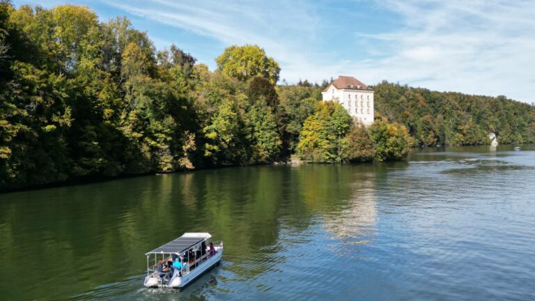

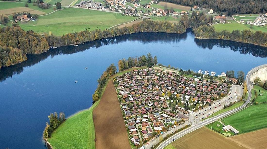
The Lake of Schiffenen is located near the city of Fribourg and offers amazing hiking tours between the cliffs and the forest.
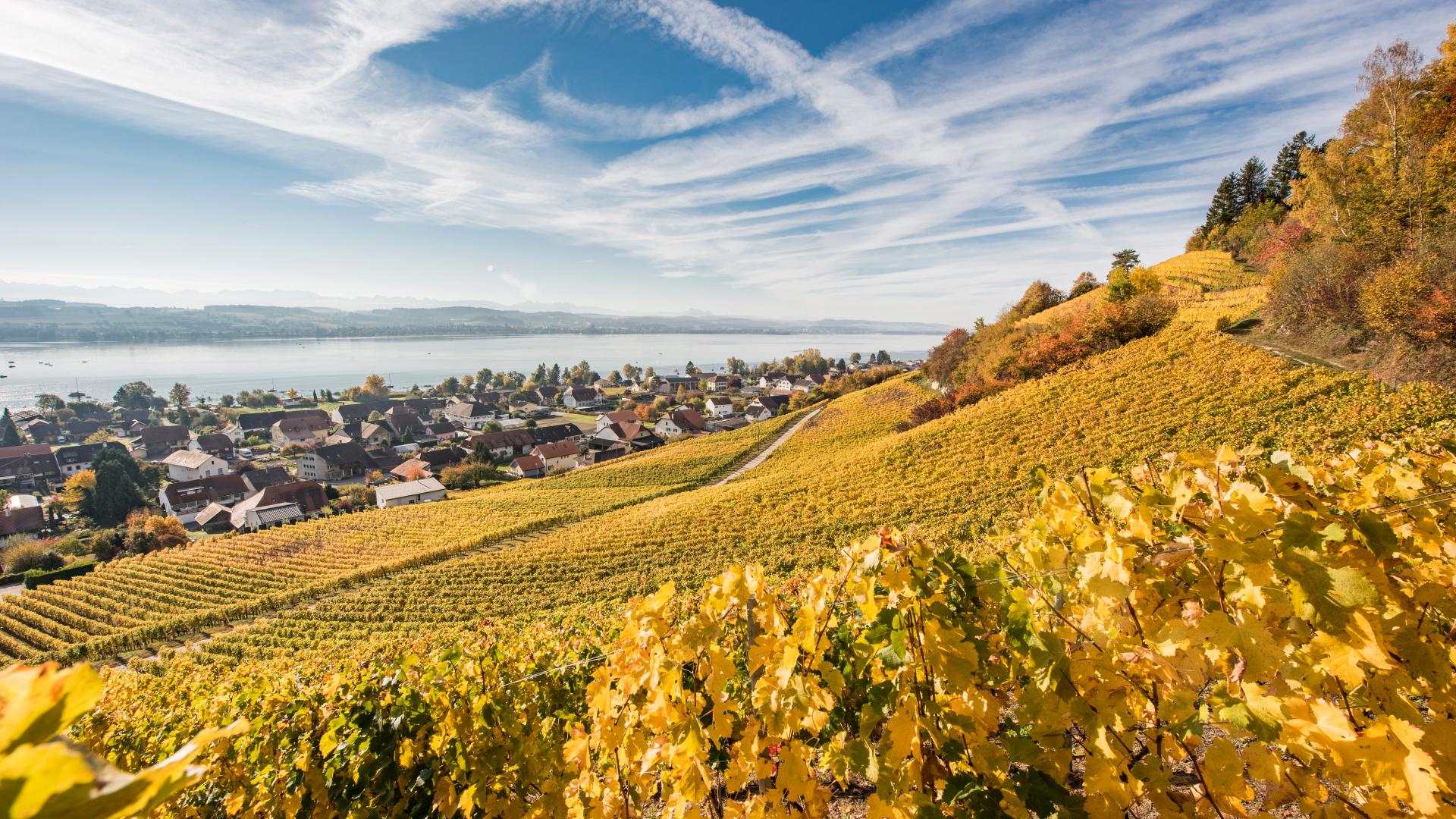
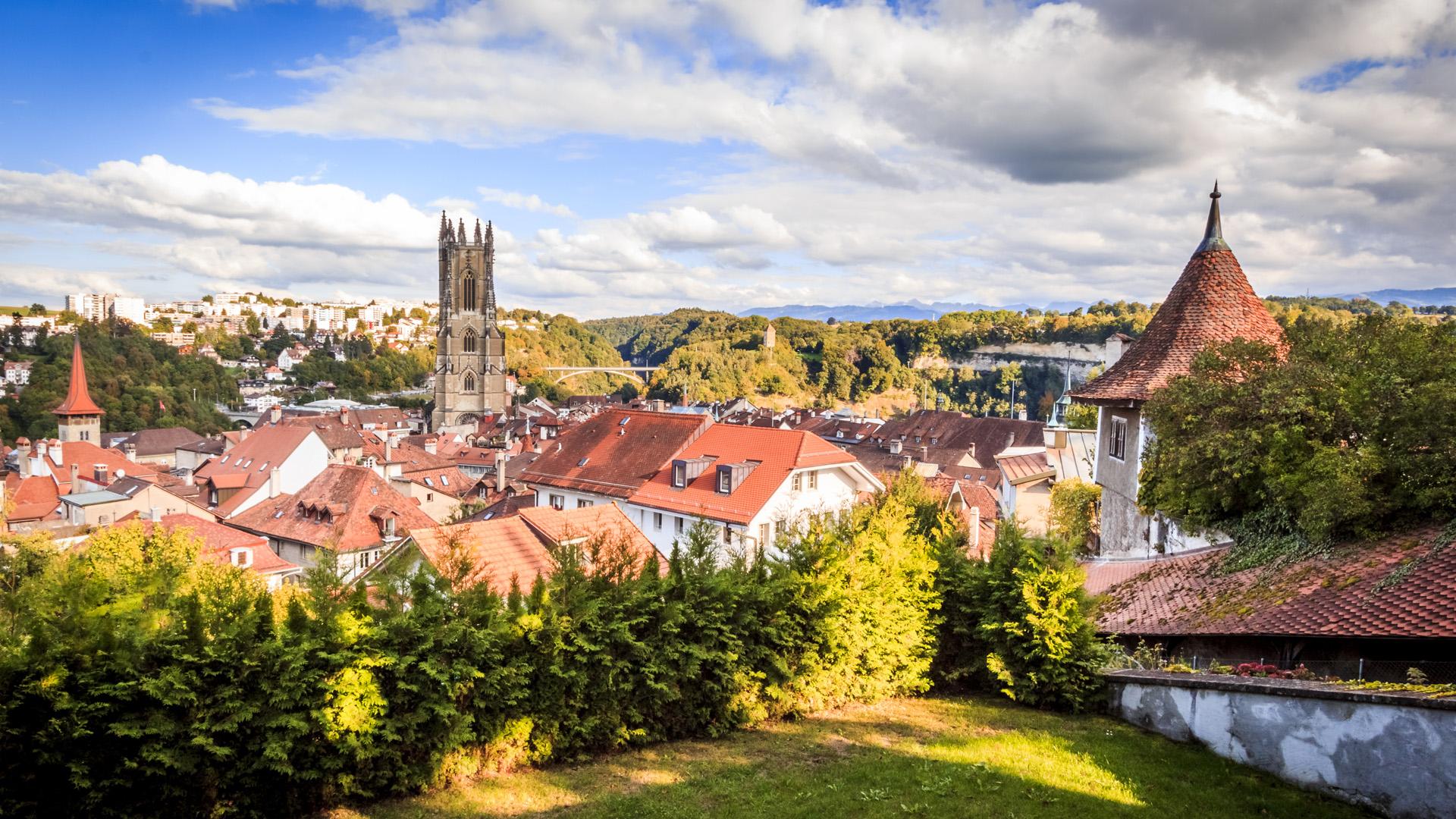
This hike around Lake Schiffenen allows you to discover a wide variety of landscapes between Fribourg, the Singinoise countryside, and the shores of the lake. The route crosses meadows, forests, villages, and nature reserves, while offering beautiful views of the lake and its surroundings.
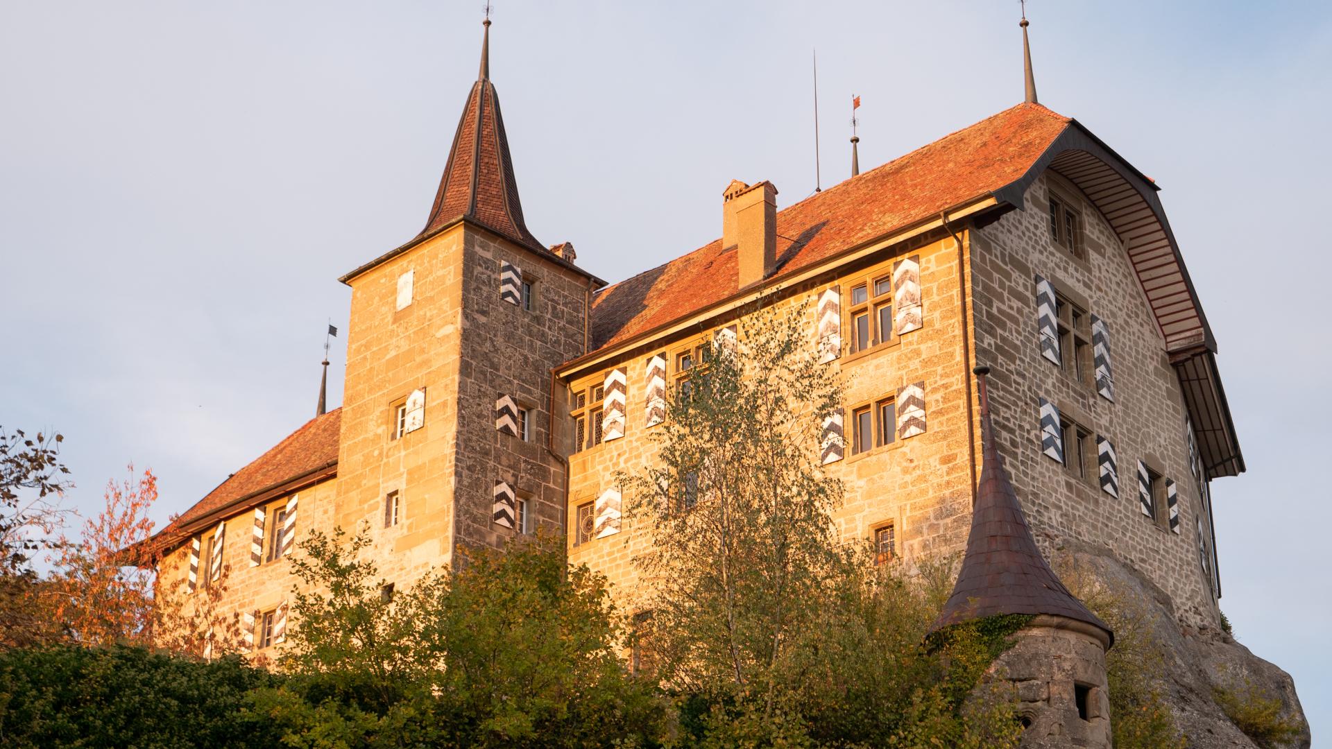
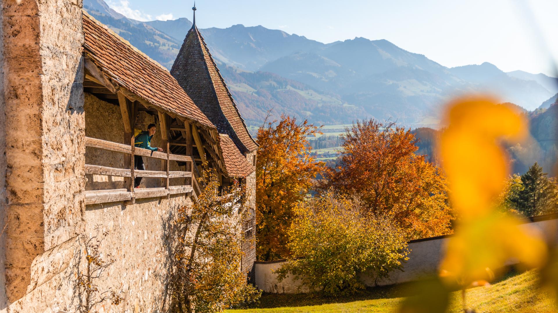
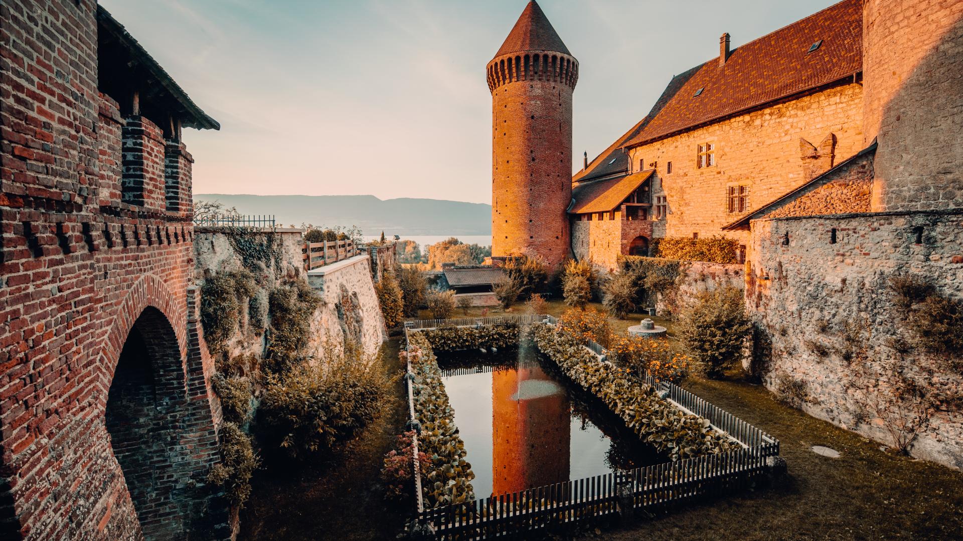
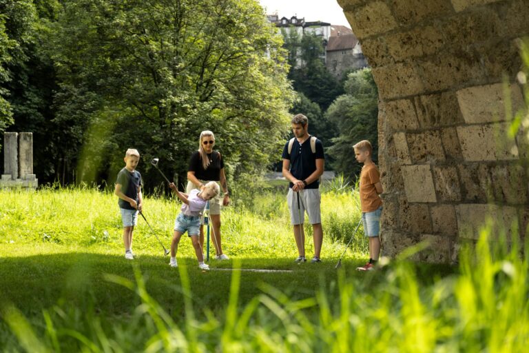
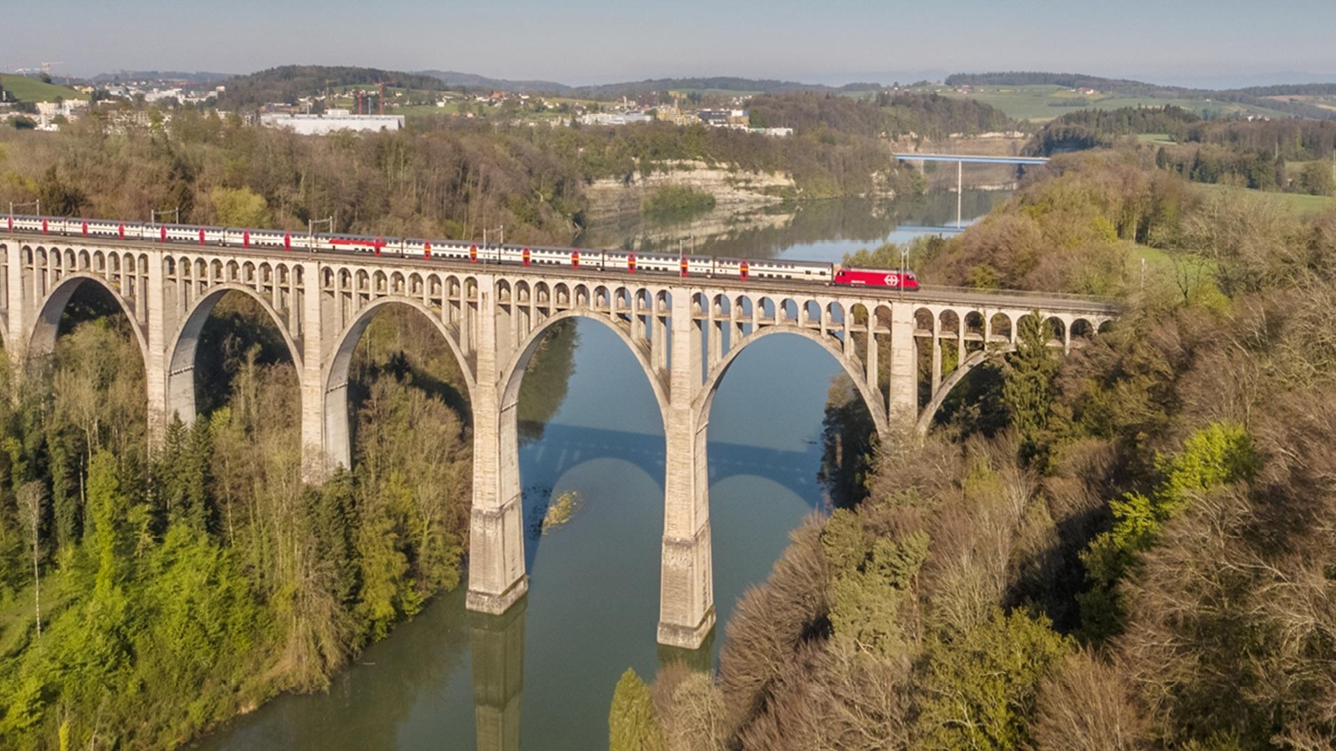
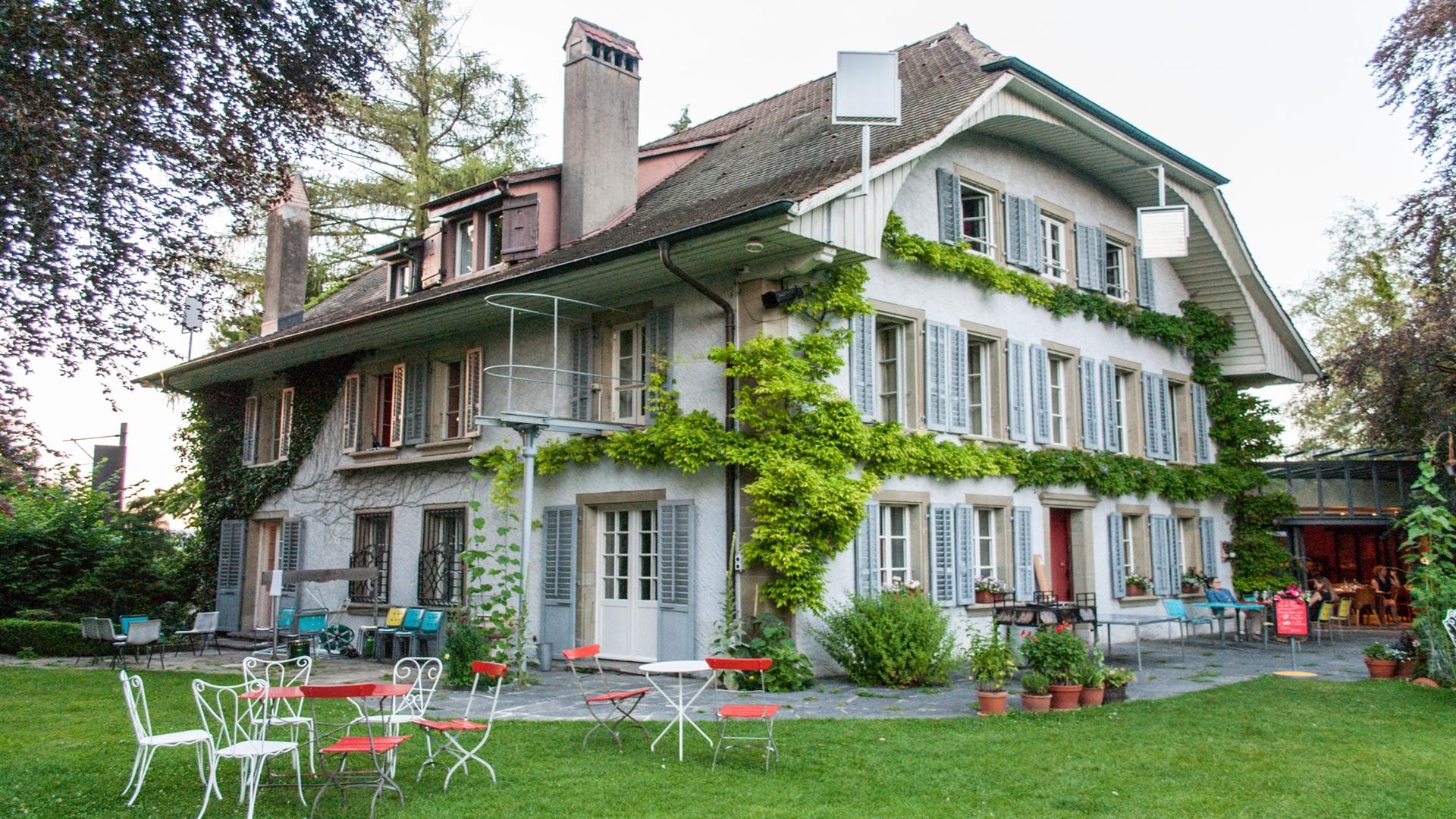
Along the way, hikers also discover a rich regional heritage, including the castles of Barberêche, Petit-Vivy, and Grand-Vivy, the Schiffenen dam, as well as the impressive Grandfey viaduct, which marks the return to Fribourg.
Accessible by public transport, this route is a wonderful way to explore the surroundings of Fribourg on foot and in a sustainable manner, combining physical activity, nature, lake, and cultural heritage.
Information
Düdingen Gemeindeverwaltung
Hauptstrasse 27
Postfach 85
3186 Düdingen
Information
Fribourg Tourisme et Région
Place Jean-Tinguely 1
Case postale 448
1700 Fribourg



Properties of the itinerarie
Type of activity: Sports
Difficulty: Moderately difficult
Duration: 10:30
Distance: 28 km
Ascent/Descent: +499m / -540m
Altitude min./max.: 532m / 647m
Itinerary type
- Scenic hike
- Along the water