Stage 2 : Fribourg - Düdingen, Staumauer/Camping
At the heart of this stage lies Lake Schiffenen, which you follow to its far end near the dam. From Fribourg, the route first passes through the lower town before reaching the impressive Grandfey Viaduct. The trail then winds between forests and meadows along the shoreline—an engaging hike that combines urban heritage, rocky landscapes, and unspoiled nature.
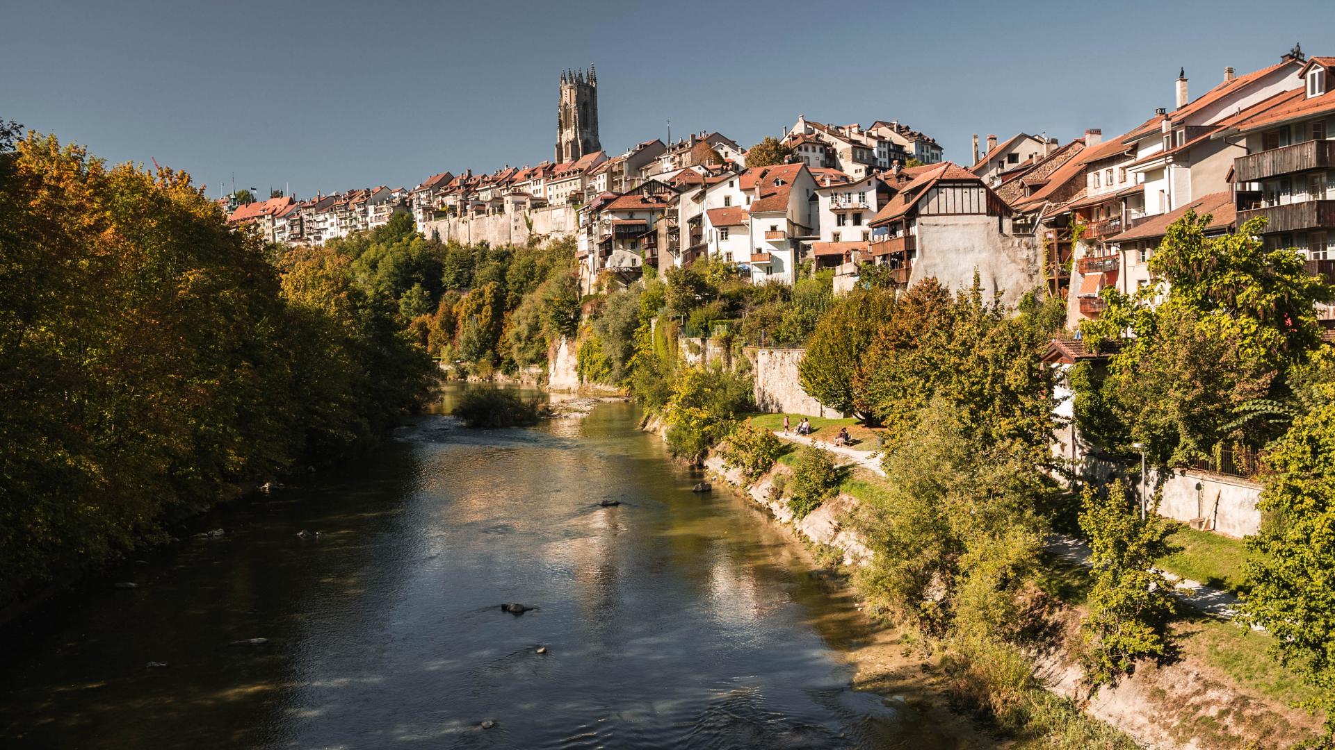
The second stage begins with a walk through Fribourg’s lower town, with its bridges and medieval façades. Here, the Sarine has shaped a unique urban landscape where history, architecture, and industry intertwine. After passing through former artisan districts, the path climbs to higher ground and continues to the spectacular Grandfey Viaduct, one of the largest bridges in Switzerland. This crossing of the Sarine marks the boundary between German-speaking and French-speaking Switzerland—the well-known “Röstigraben.” Located on the Bern–Fribourg railway line, this iconic structure offers stunning views of Lake Schiffenen, which accompanies the next section of the route. The artificial lake was completed in 1963 and is therefore one of the more recent lakes in Switzerland.
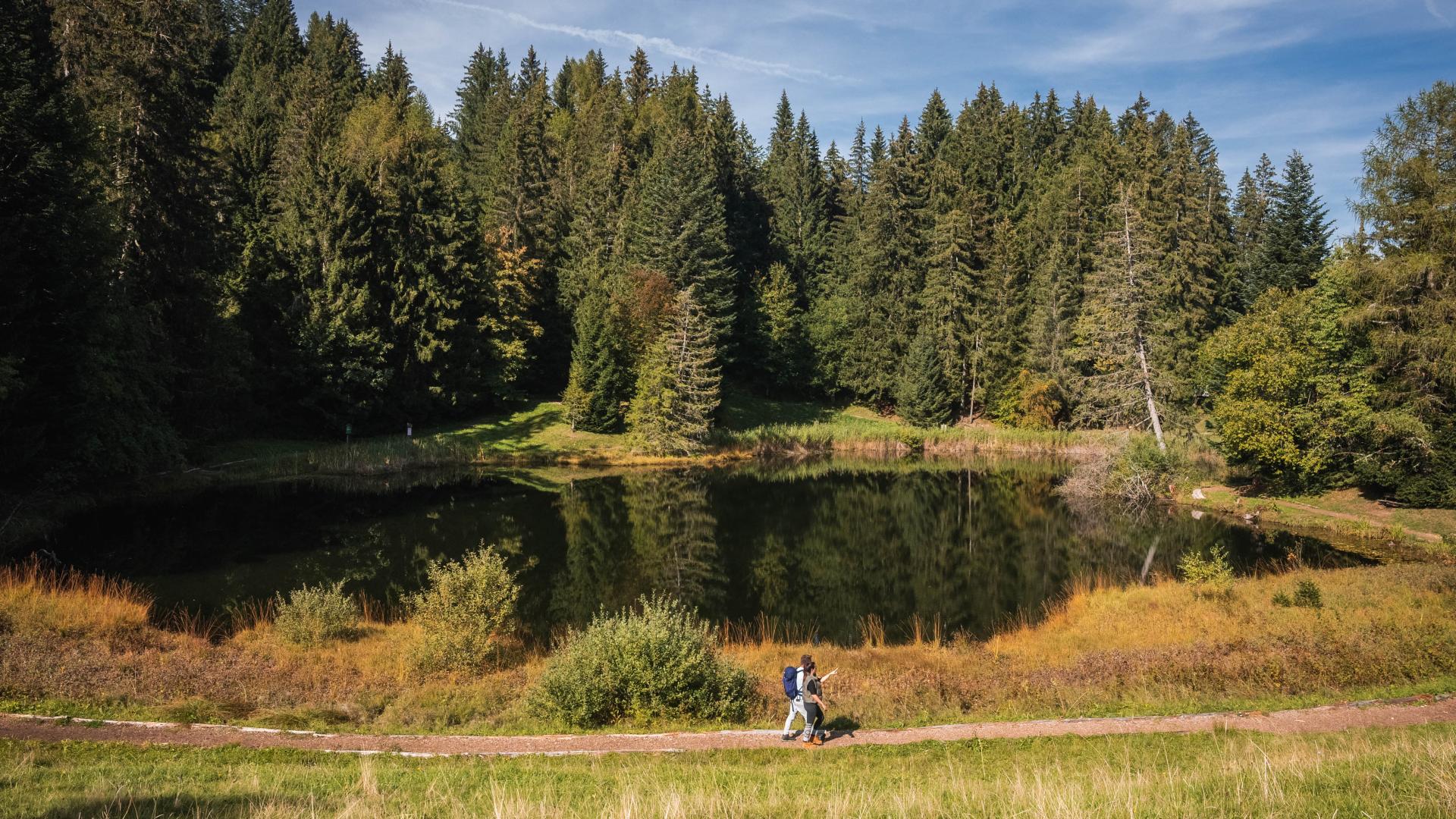
Beyond the bridge, the city fades away and nature takes over. The undulating path winds alternately through forests and open meadows. Near the route, the caves of the Madeleine Hermitage recall the earliest human use of these الصخور. The 120-metre-long cave was carved into the rock around 1700 by two hermits. The hermitage can be visited between April and September.
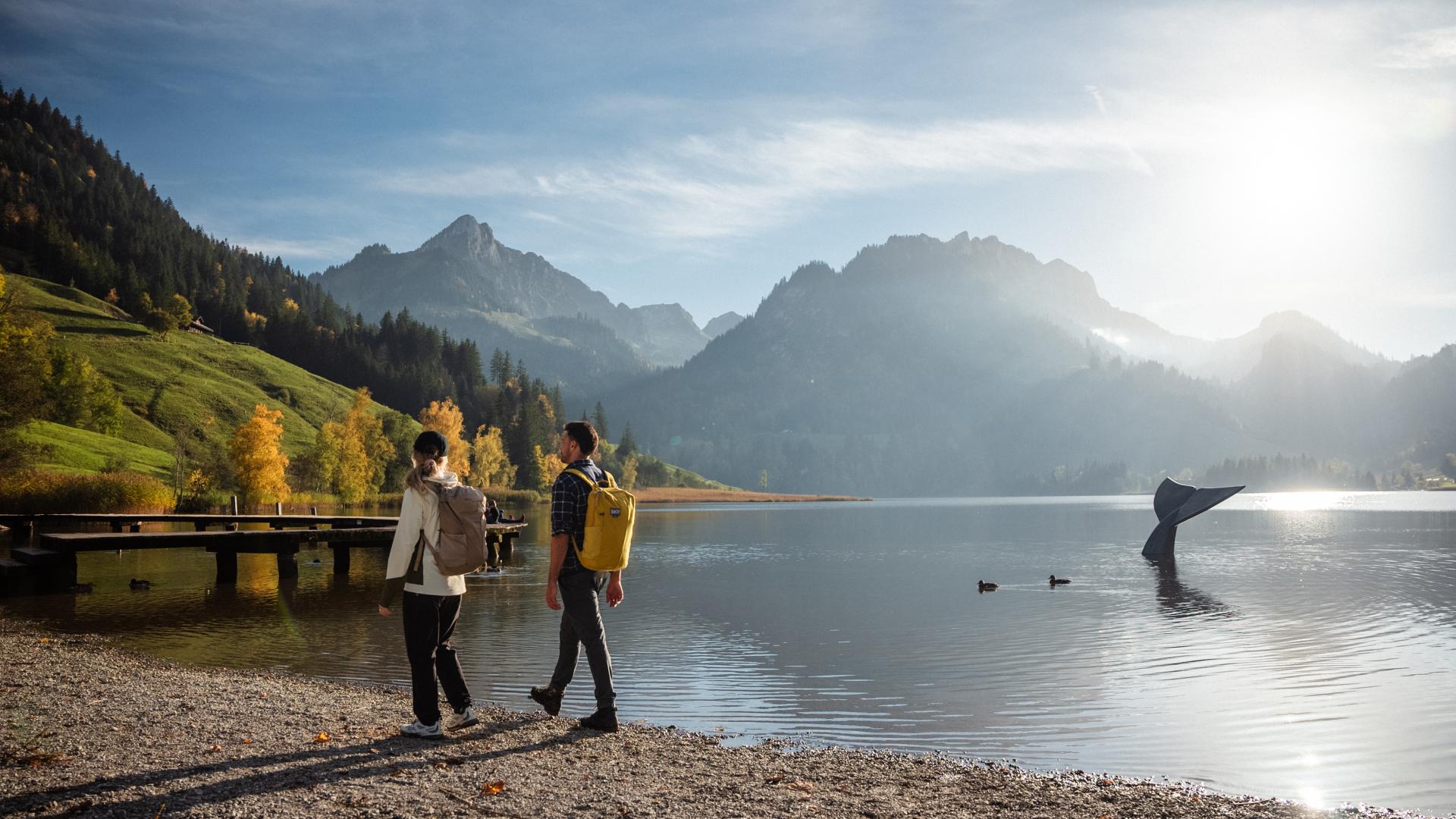
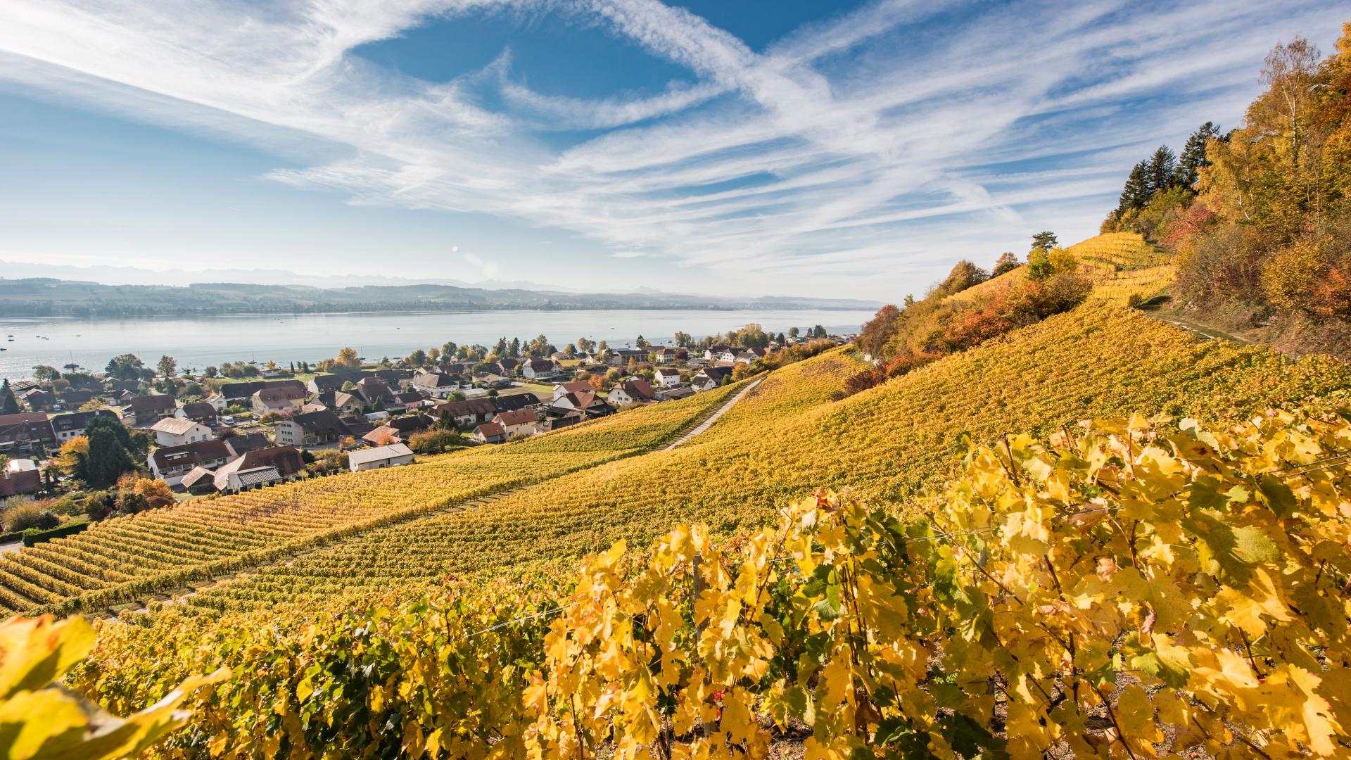
Along Lake Schiffenen, the route offers beautiful views and several places to relax. Its narrow, fjord-like waters are home to various fish species, including perch, pike, and zander. The species-rich natural areas along the shores provide habitats for a wide variety of birds and other aquatic life.
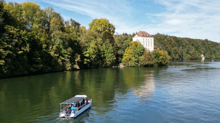
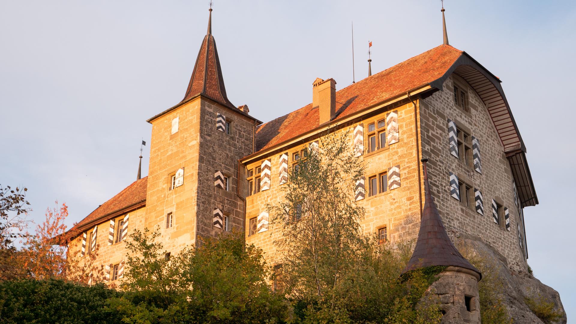
After passing the former spa of Bad Bonn—now known for the Bad Bonn Kilbi music festival—the view opens onto the castles of Grand-Vivy and Petit-Vivy. The hike ends at the harbour of the Schiffenen campsite, with its beach, where the dam is also located. In summer, visitors can return to Fribourg (Neigles) by solar-powered electric boat and experience the river landscape from a different perspective.
A large part of the route also follows the “Path of Senses and Sounds,” a themed trail where visitors can try out sound installations at various stations.