

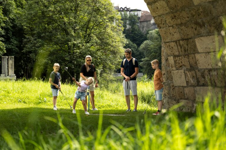
This route, suitable for schools and families to discover countless treasures related to water, is also an opportunity to delve into history and imagine navigation on the Sarine.
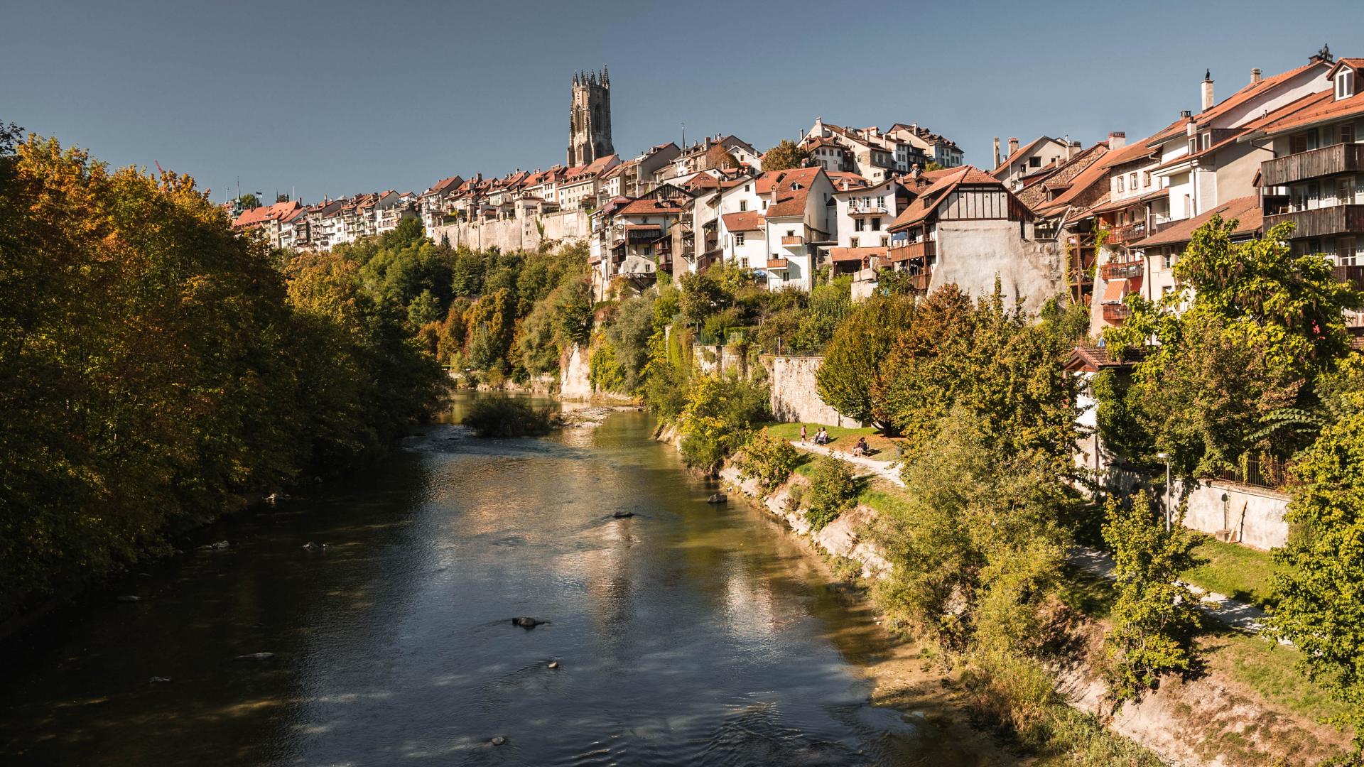
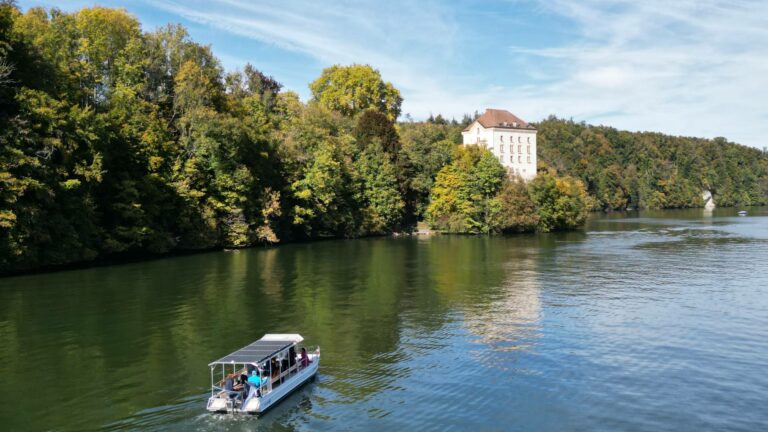
Fribourg was built on the meanders of the Sarine. Since ancient times, water has been essential to its inhabitants. A means of navigation, a source of energy, this water also sustains life. The life of salmon once, that of plants, or that of people for their work, transport, or leisure.
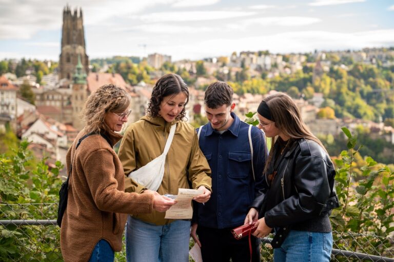
Embark on this family-friendly and class-friendly tour in the Lower Town. By following its 9 stations, you enter history without leaving the present. Move forward, imagine, let yourself be carried away by the silence of the Abbey or the whisper of the water…
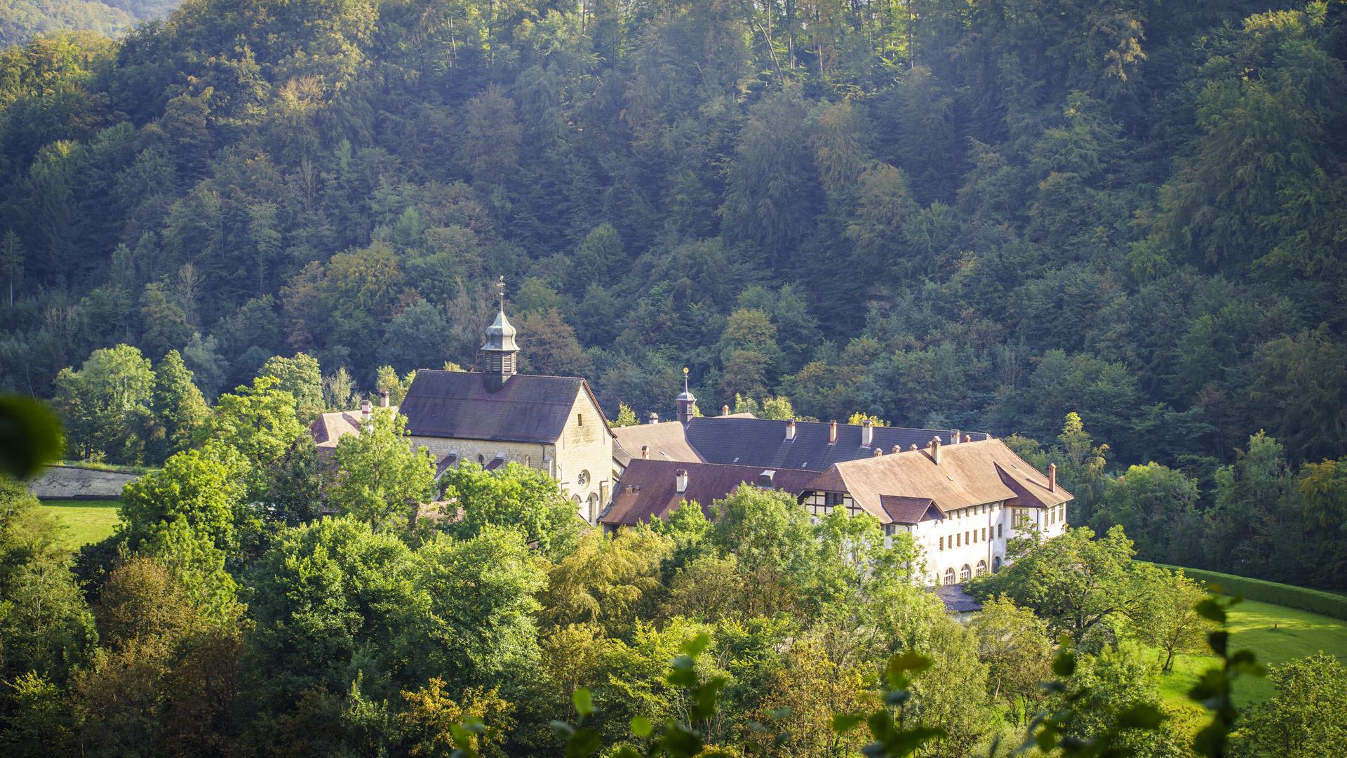
Tip: Take the opportunity during your hike to visit the Abbey of Maigrauge or the Chapel of Lorette.
Information
Fribourg Tourisme et Région
Place Jean-Tinguely 1
Case postale 448
1700 Fribourg
Accessible en transports publics: avec le bus TPF zone 10 selon les différents points de départ.





Properties of the itinerarie
Type of activity: Family
Difficulty: Easy
Duration: 01:00
Distance: 2 km
Ascent/Descent: +102m / -102m
Altitude min./max.: 536m / 596m
Itinerary type
- Loop itinerary
- Scenic hike
- Family hike
- Along the water
- Through the centuries