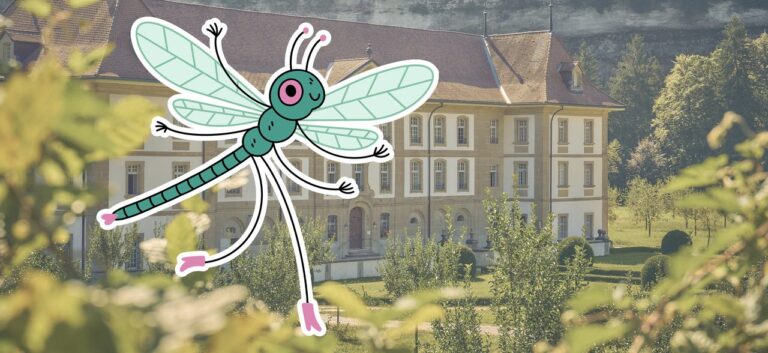

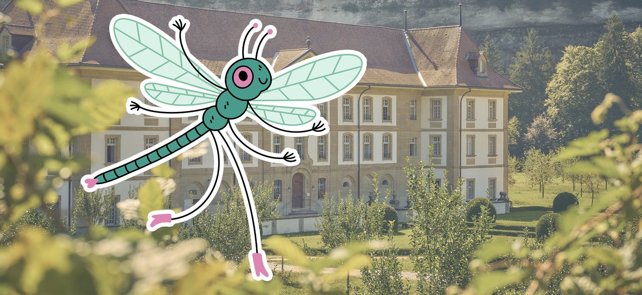
The Sarine Trails are a collection of walking routes between Rossens and Düdingen, covering over 25 km. They highlight the region’s local heritage and amenities through an immersive and rewarding experience that all can enjoy.
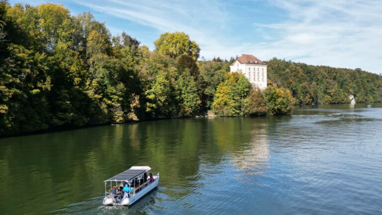
The Sarine Trails project was set up to createa continuous walking path, for everyone to enjoy, between Rossens and Düdingen– a distance of over 25 km. The idea was to develop a network around existingpaths, highlighting heritage attractions and local amenities such as restaurants, hotels and shops. The well signposted trails are laid out with good facilities andgive visitors an immersive experience in the terroirs offered by the Sarine region. The fil rougeof the project is the river itself, the pulse of the region, that flows northwards through the District.
Under the auspices of the Association régionale de la Sarine, the project took shape following studies carried out during the Sarine District development planning. It showed how fragmented the hikingtrails were and their need for better visibility.
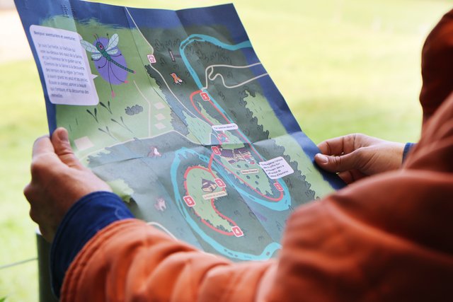
The Sarine Trails offer a wide variety oflandscapes and terrain. The route can follow shady forest paths, or open paths across fields and meadows. At times, it runs along the peaceful banks of the Sarine, then might climb or descend along the contours of the glacial hills that sculpt the relief. The ground is generally soft, alternating with sections on tarmac, providing variety both for the eye and under foot.
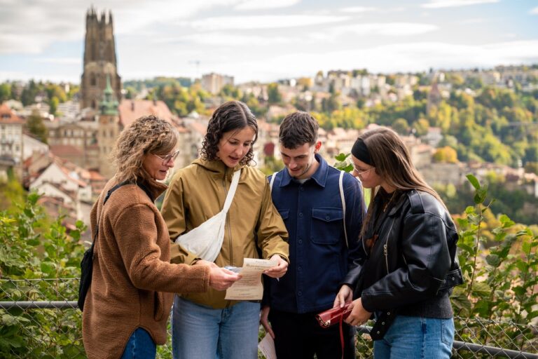
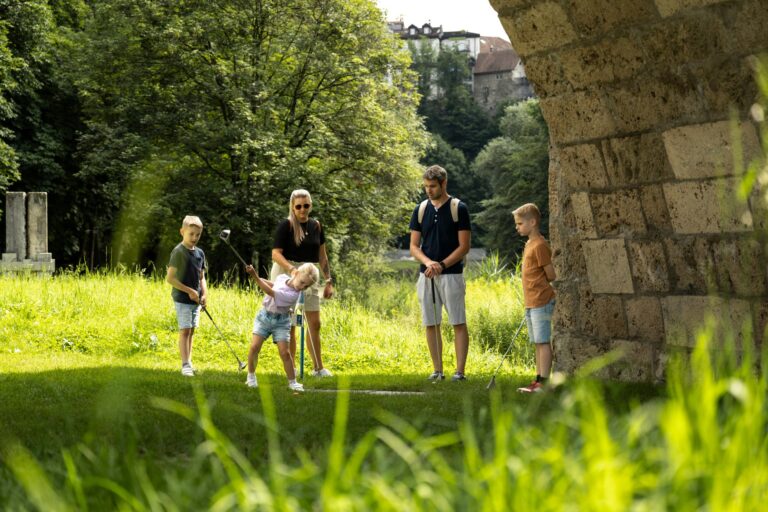
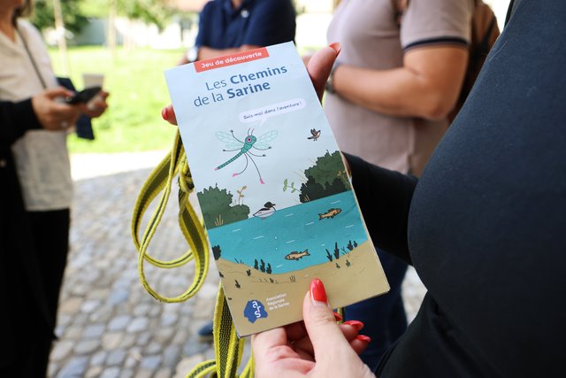
The themed paths developed around the Sarine Trails target four categories of walker: Family – Kids – Adult – PRM (reduced mobility). Each itinerary is designed to offer visitors an appropriate experience, corresponding to their expectations and abilities.
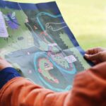
The cards are available for purchase from Fribourg Tourism and Region: CHF 10.-

Properties of the itinerarie
Ascent/Descent: +0m / 0m
Altitude min./max.: 0m / 0m
Itinerary type
- Family hike
- Educational hike
- Along the water