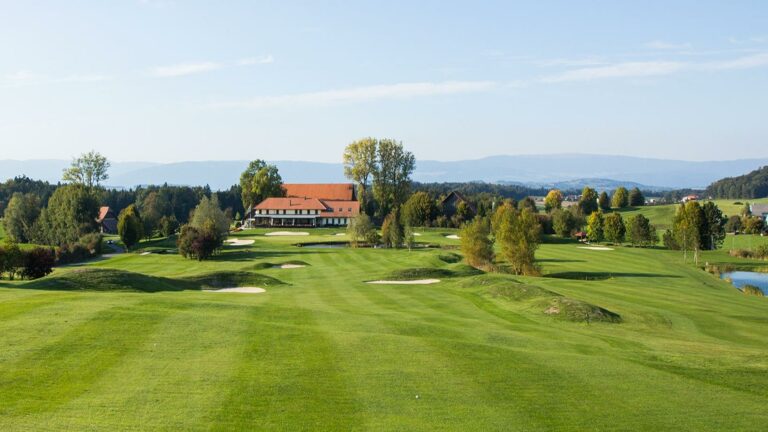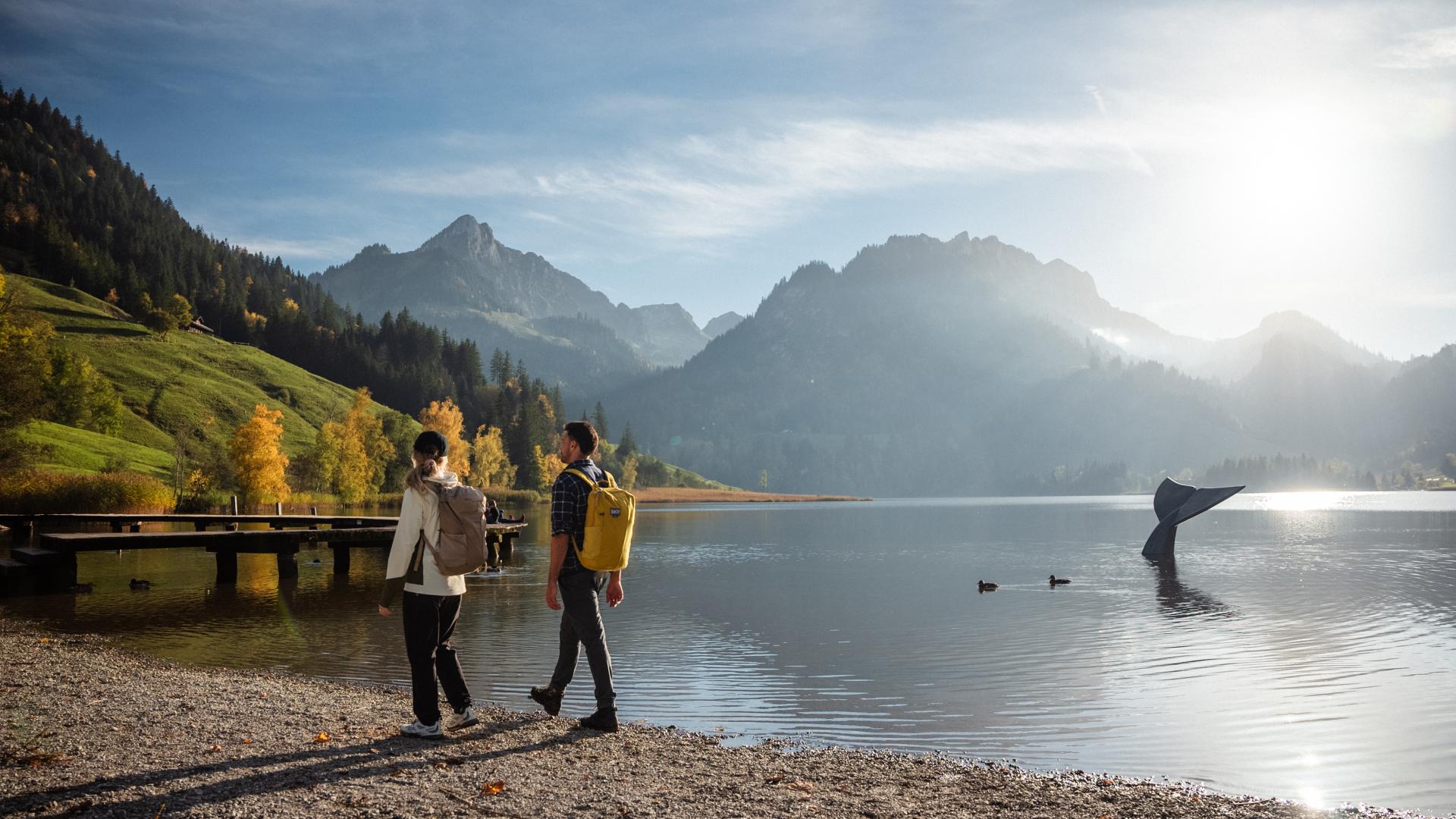
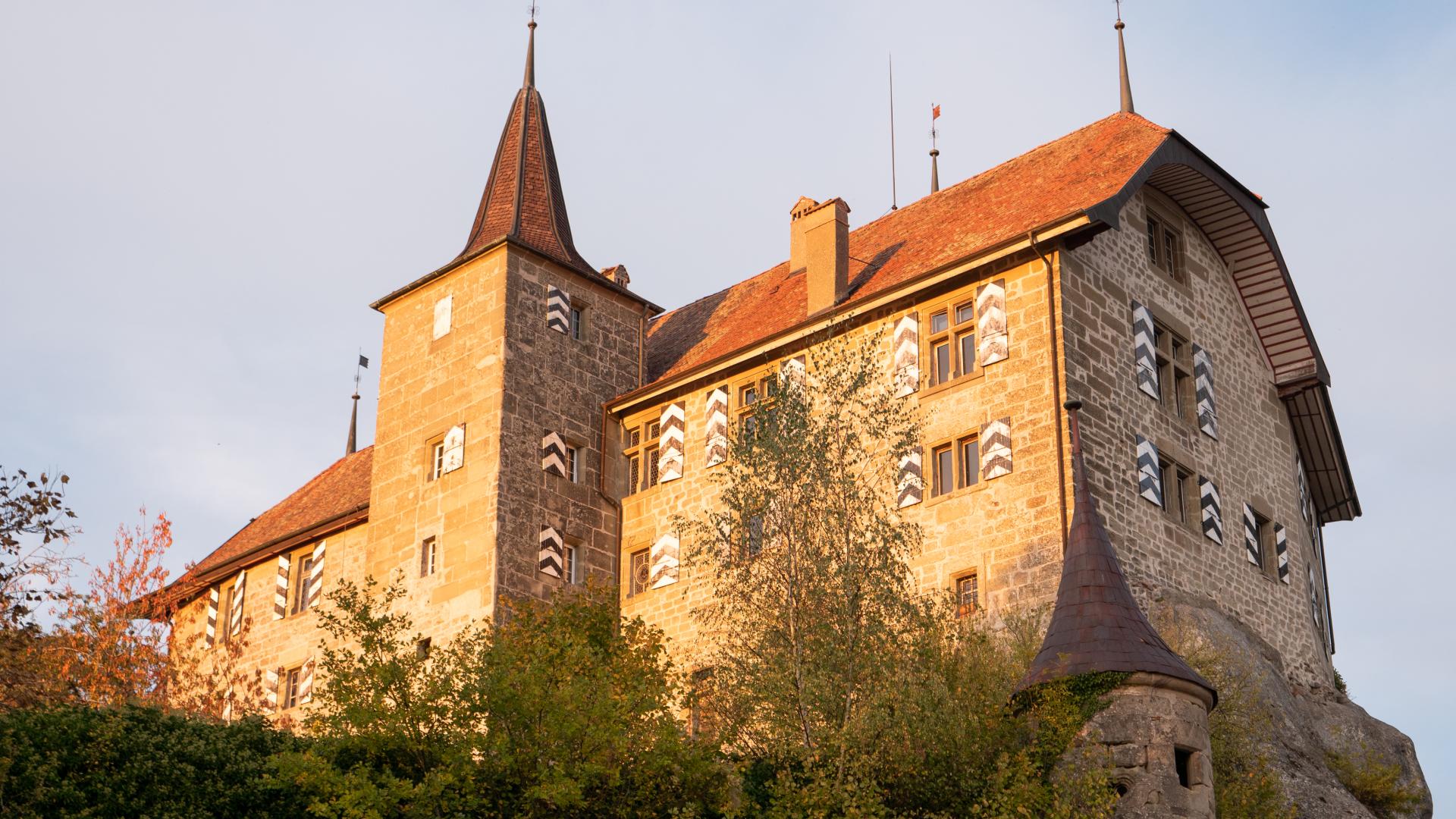
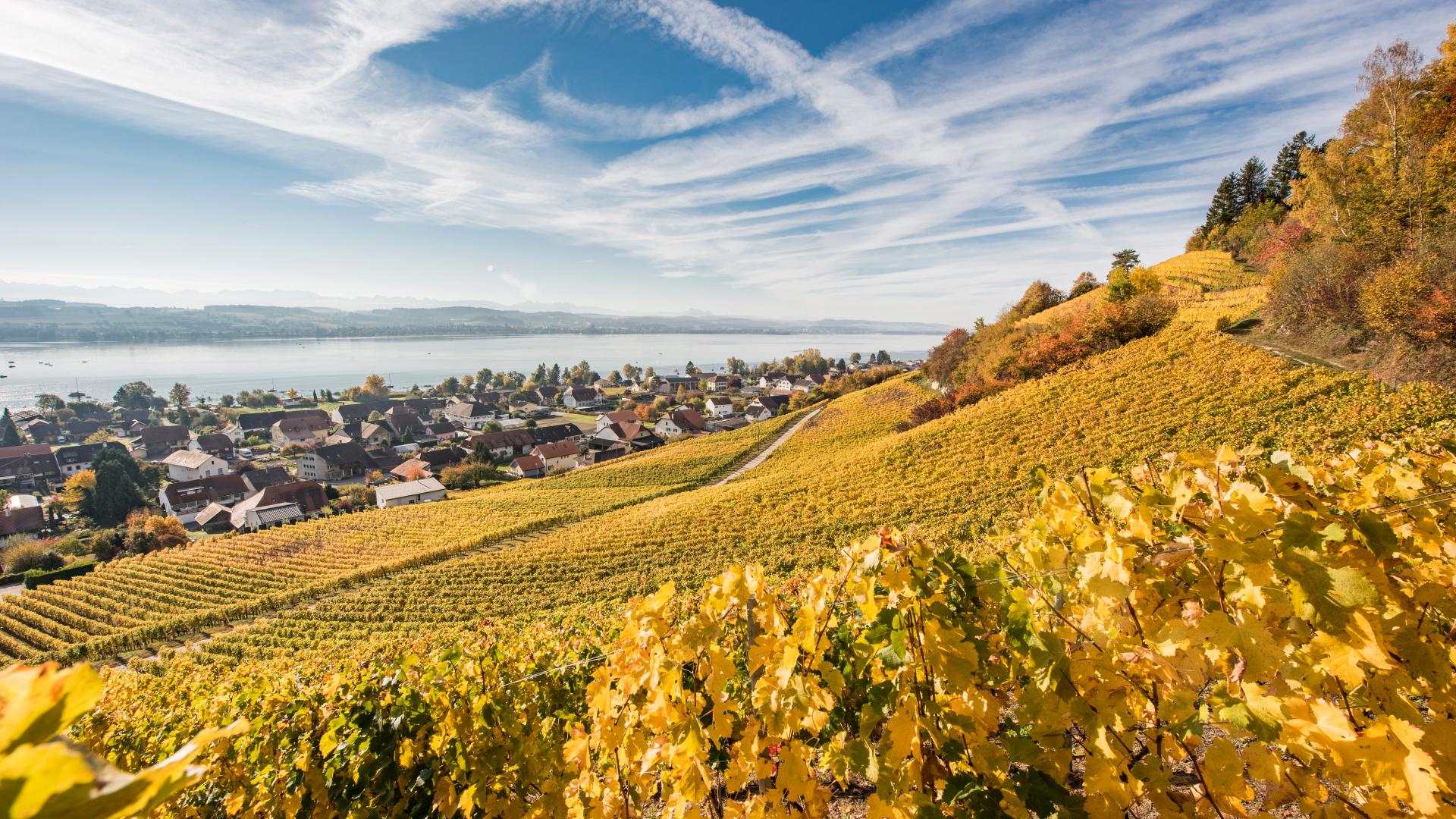
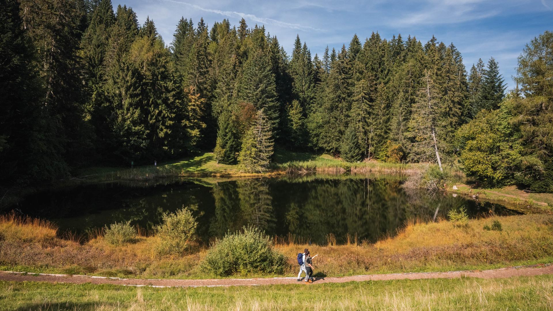
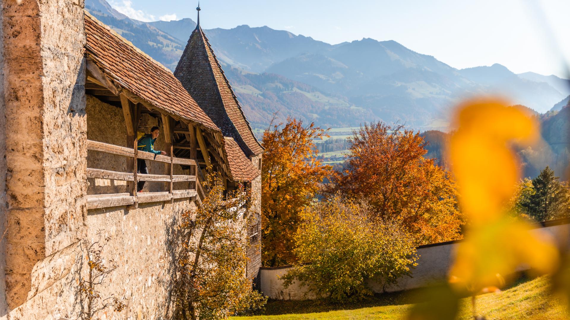


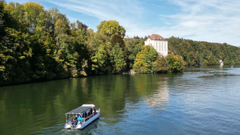
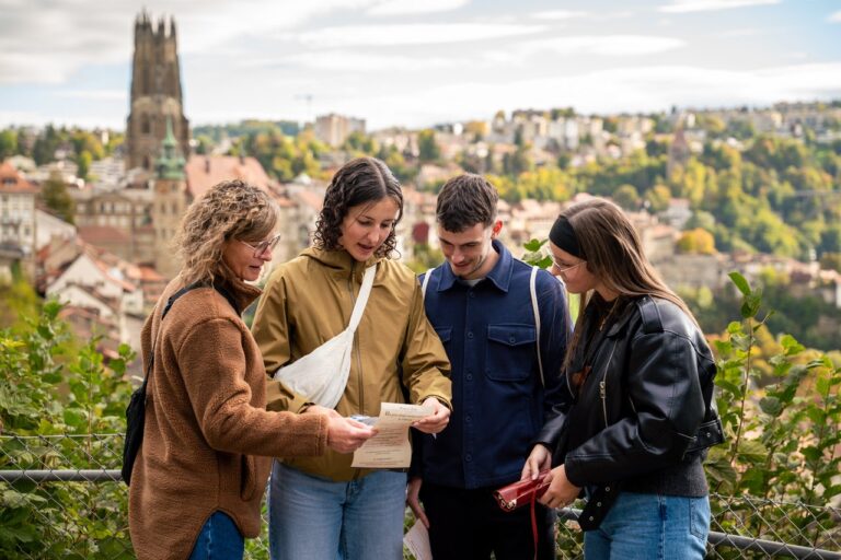
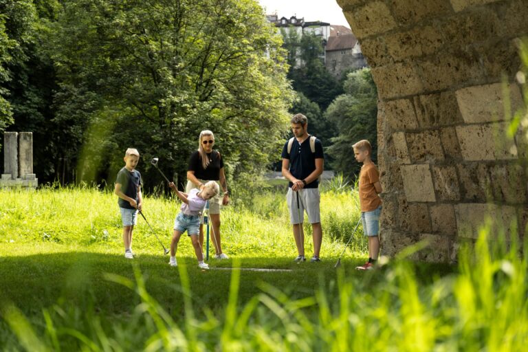
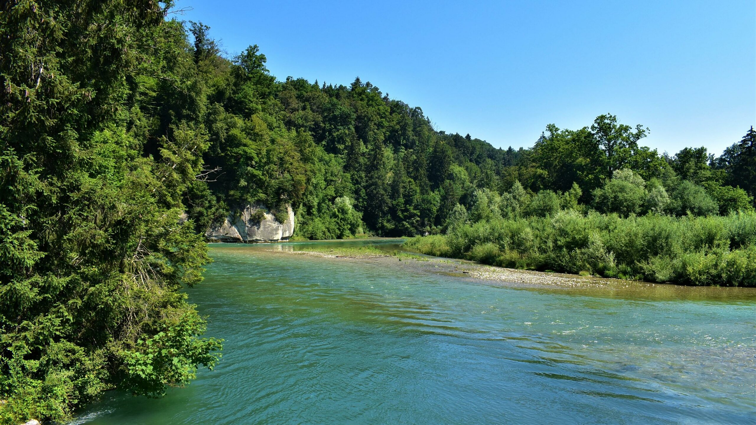
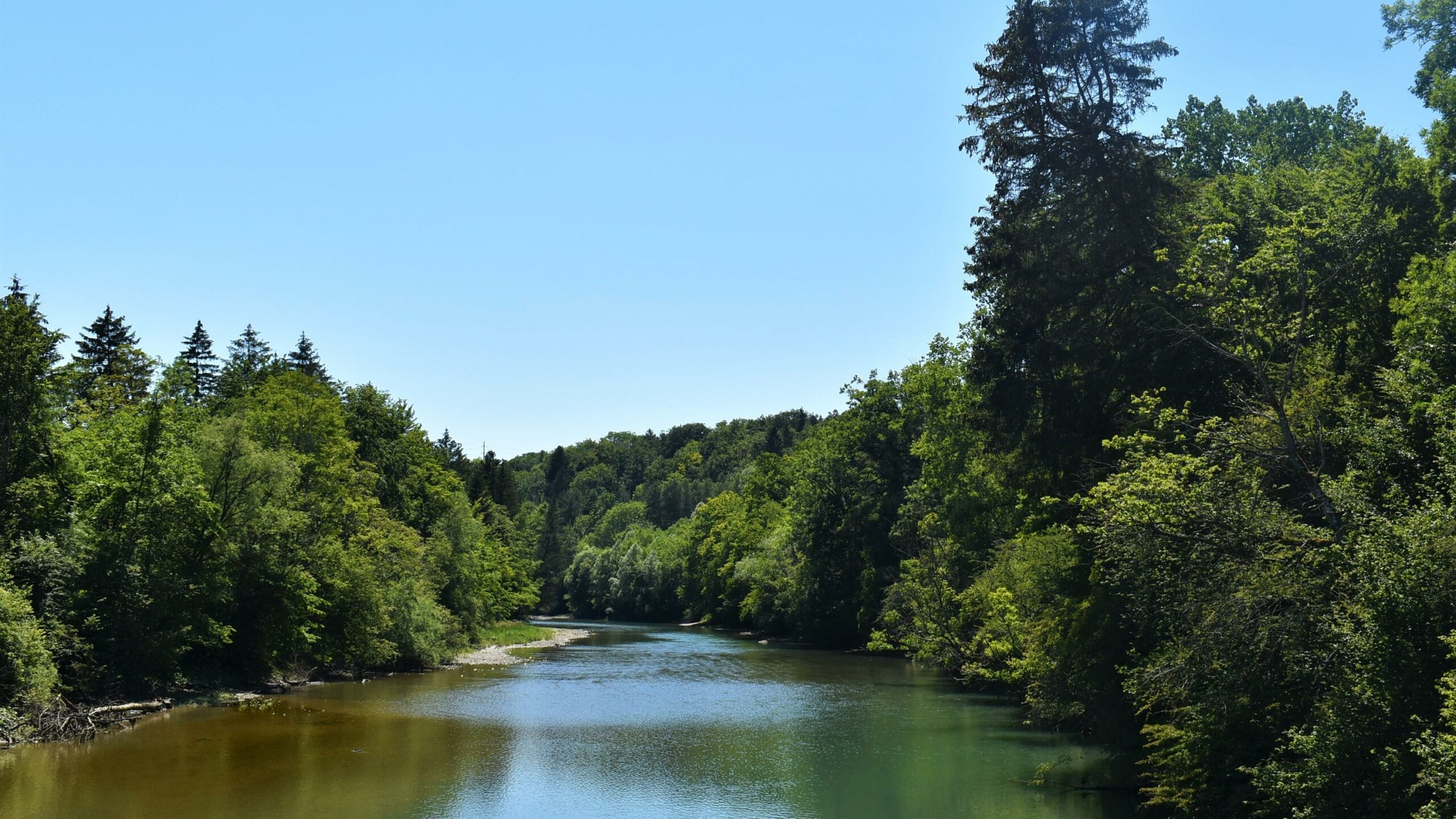
This route allows you to follow the Gérine, the Glâne, and the Sarine. Visitors can observe wildlife, admire the diversity of plants, and understand the efforts made to preserve water and its ecosystem.
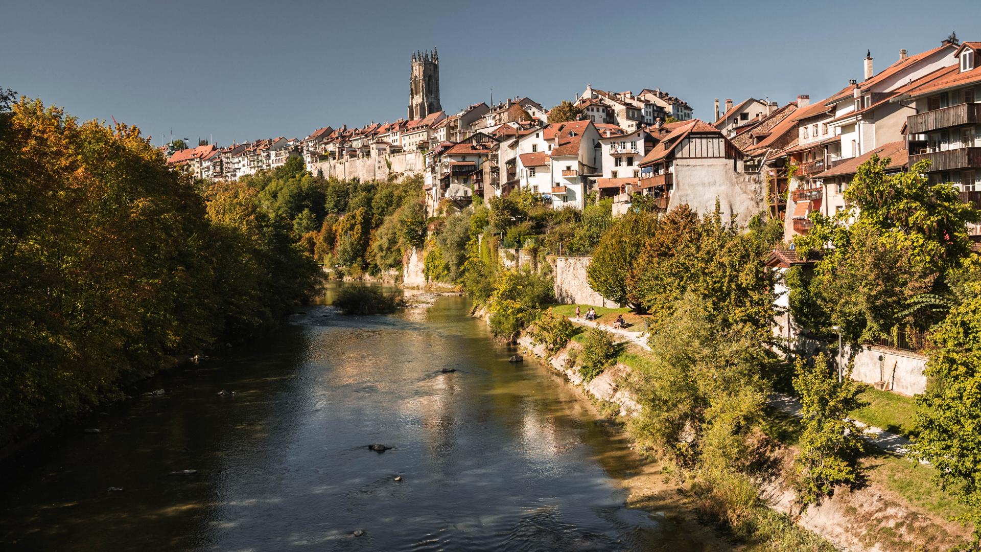
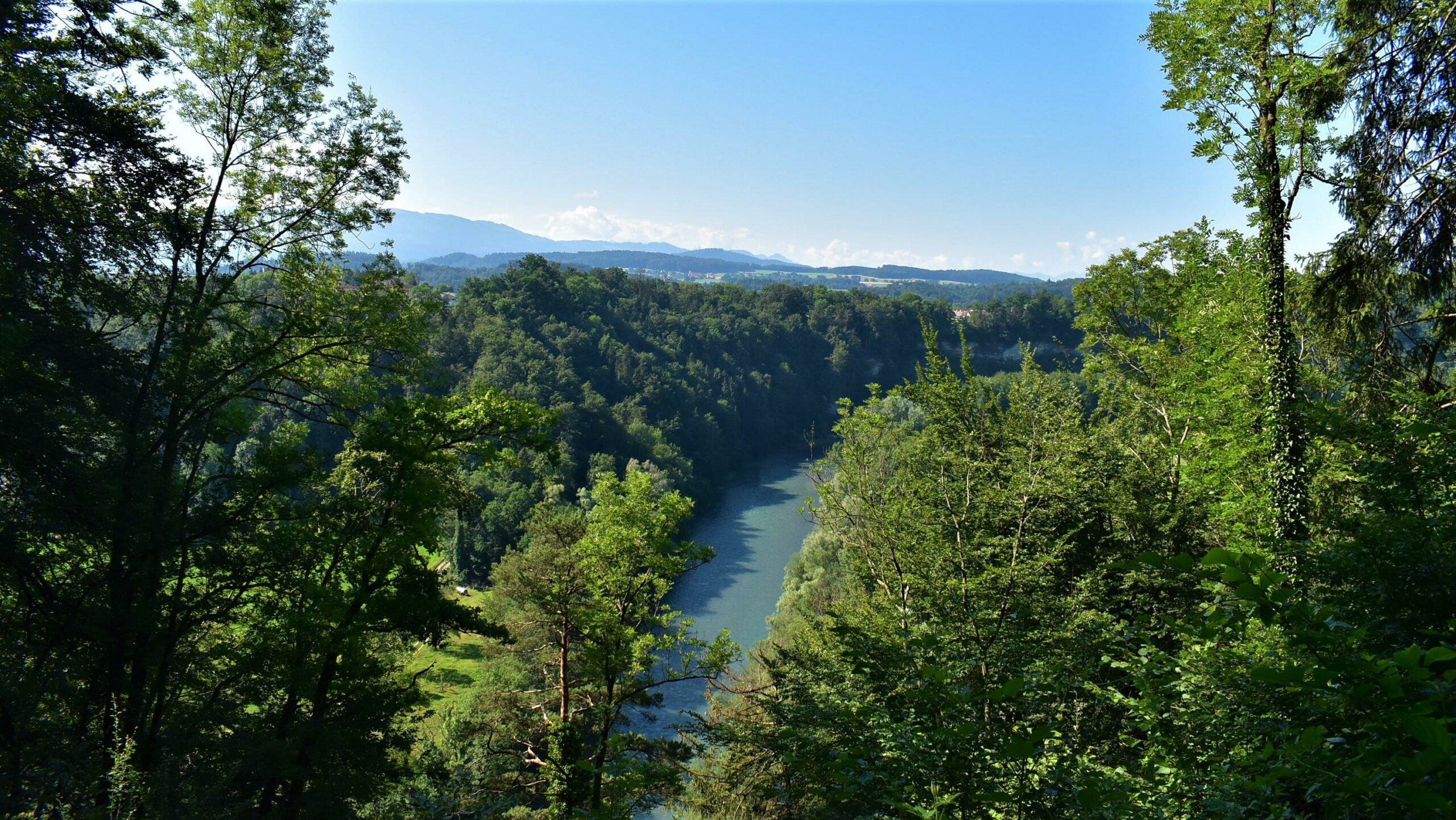
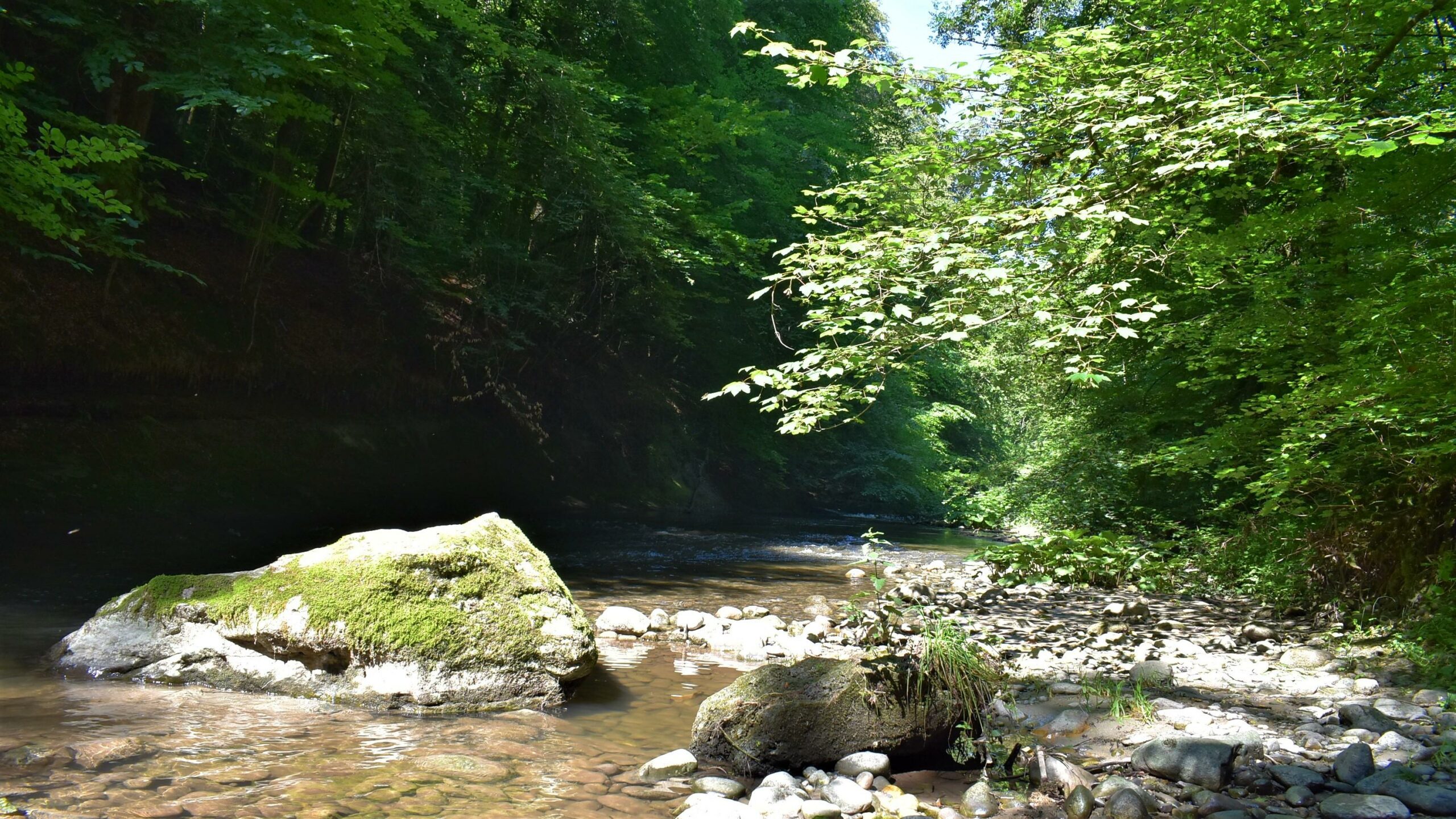
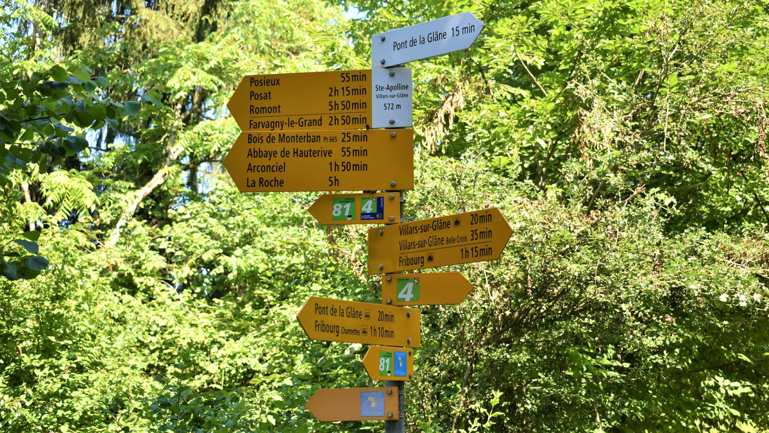
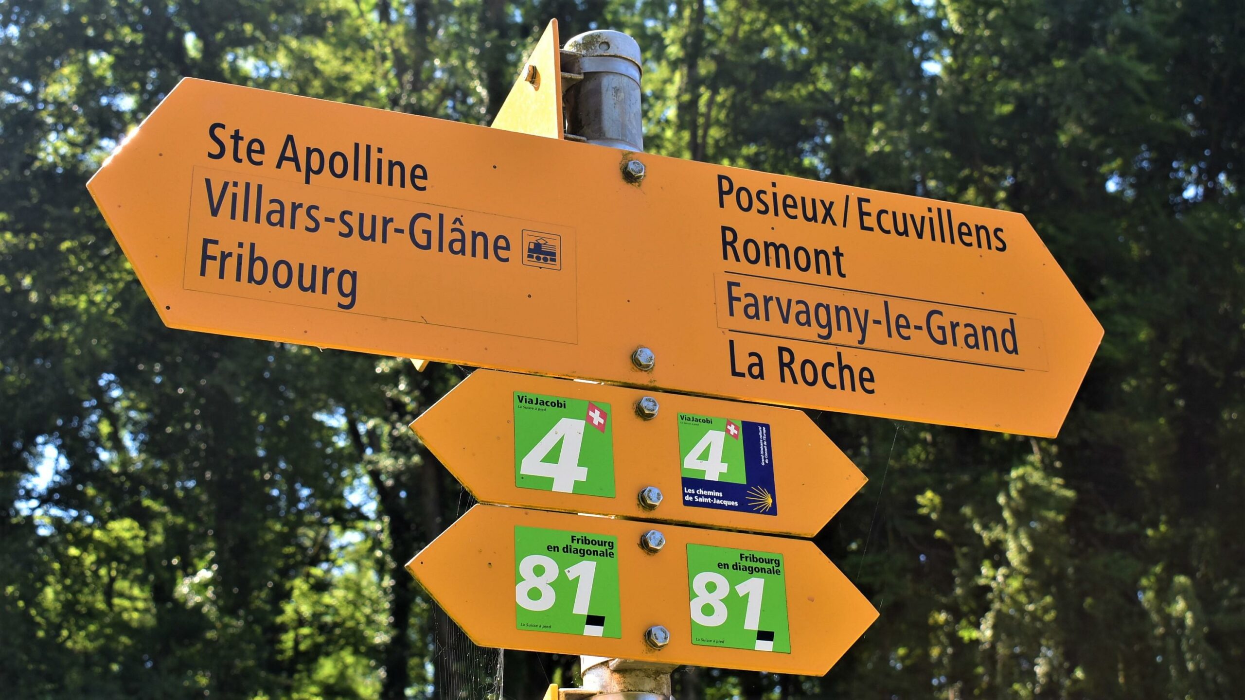
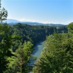
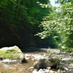
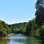
The Tour of the 3 Rivers is a hike of approximately 11 km that allows you to discover the natural landscapes of the Fribourg region along the water. The route successively crosses the Sarine, the Glâne, and the Gérine, amidst forests, clearings, cliffs, and watercourses.
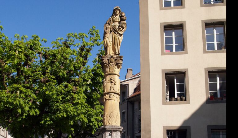
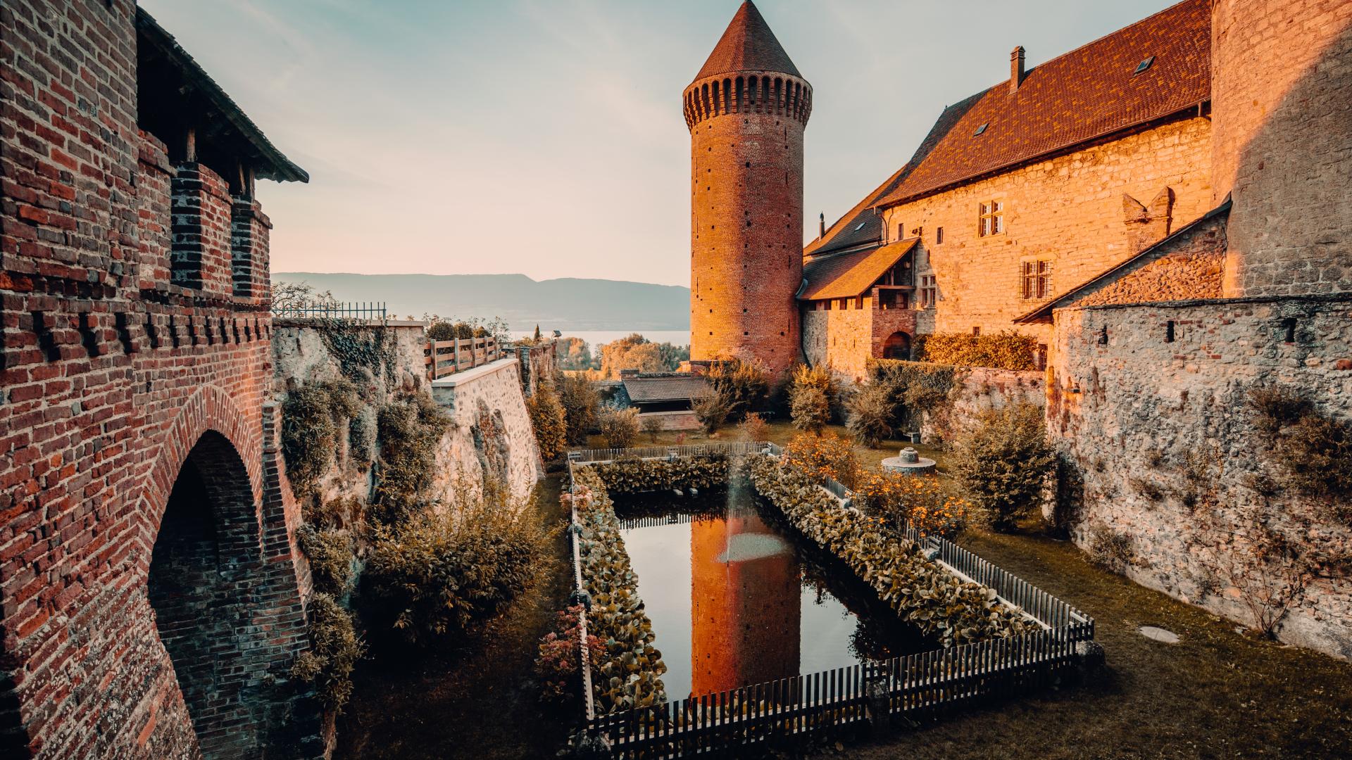
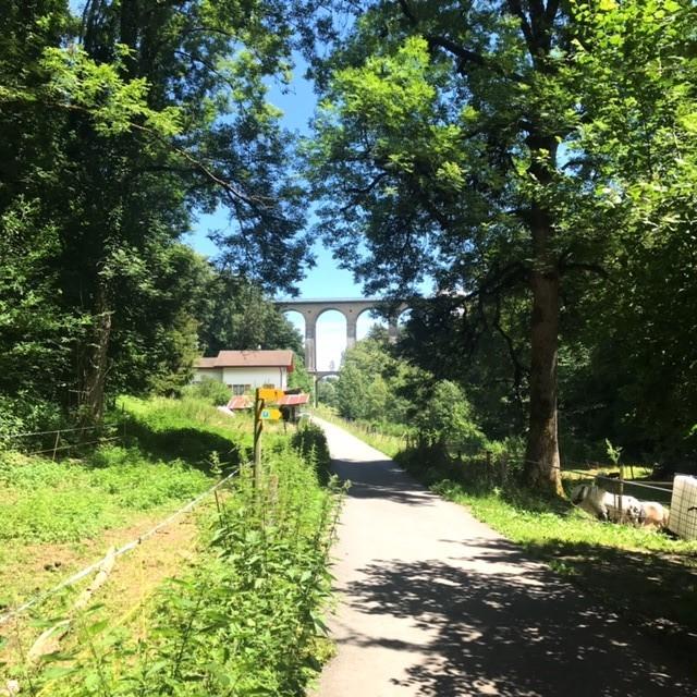
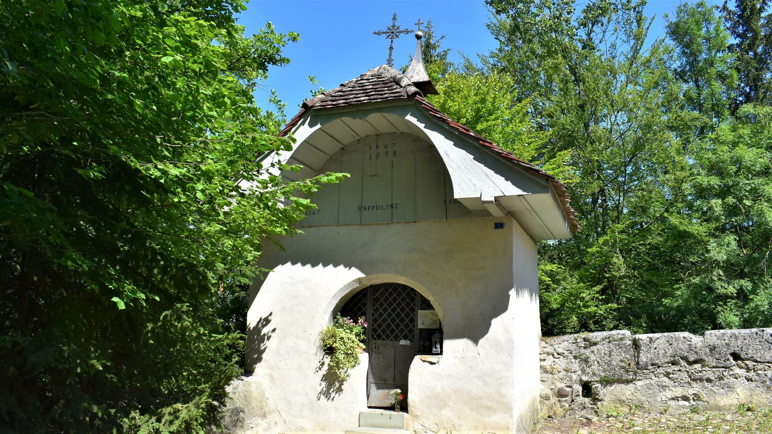
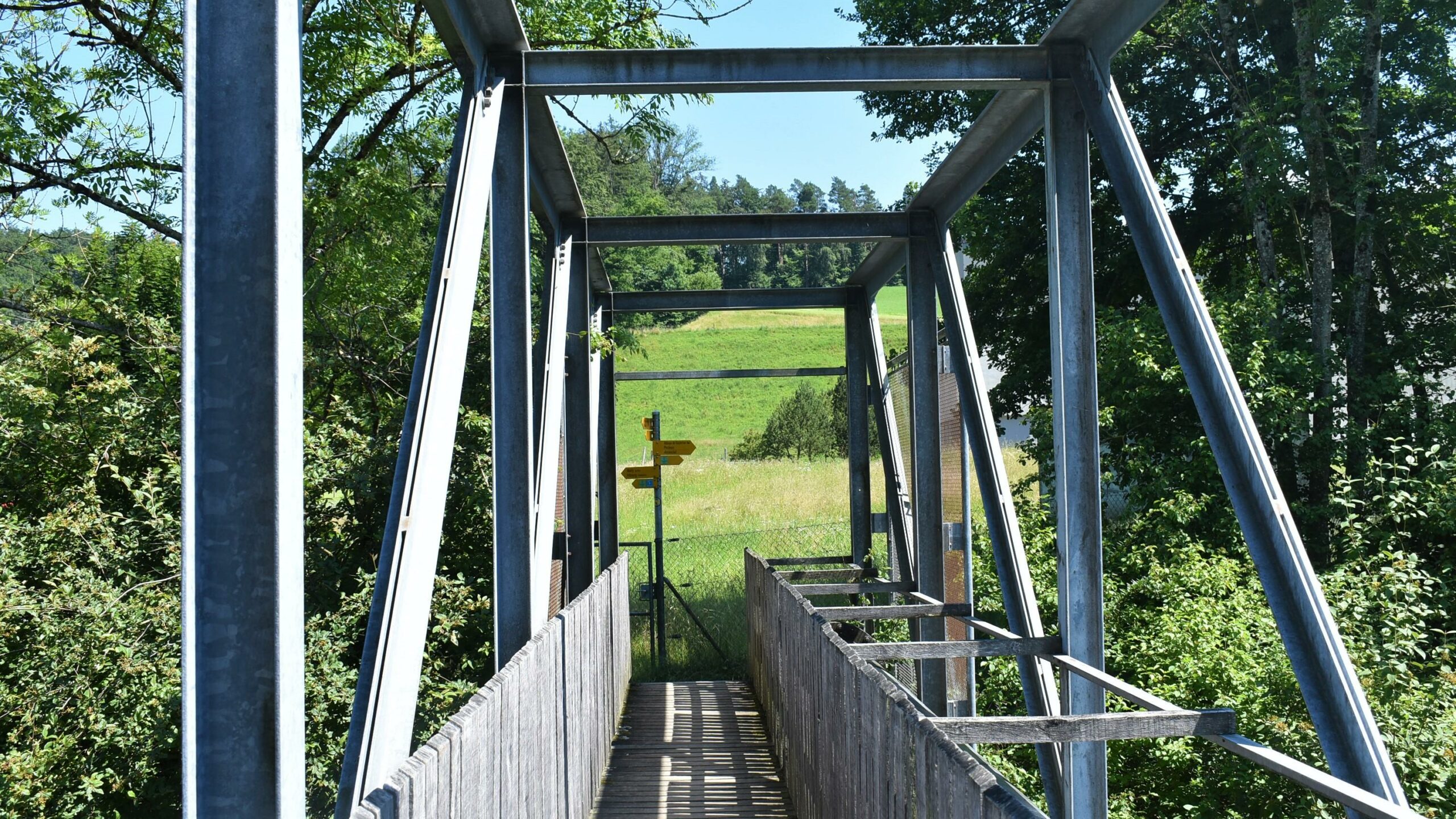
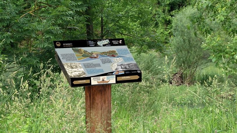
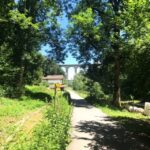
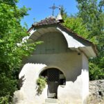
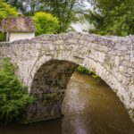
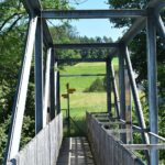
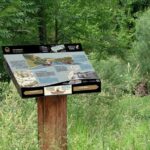
Throughout the trail, educational panels provide insights into water, wildlife, flora, and forest environments. The walk also offers beautiful heritage discoveries, notably the historic bridge and the chapel of Sainte-Apolline.
Accessible by public transport, this route is a wonderful way to explore the region on foot, close to nature and in an approach to sustainable mobility. To extend your discovery of the plant world, a visit to the Botanical Garden of Fribourg perfectly complements the hike.
Information
Fribourg Tourisme et Région
Place Jean-Tinguely 1
Case postale 448
1700 Fribourg
Information
Commission de gestion du lac de Pérolles
P/A Service des forêts - 1er arrondissement
Accessible by public transport: with the TPF bus zone 10 depending on the starting point.
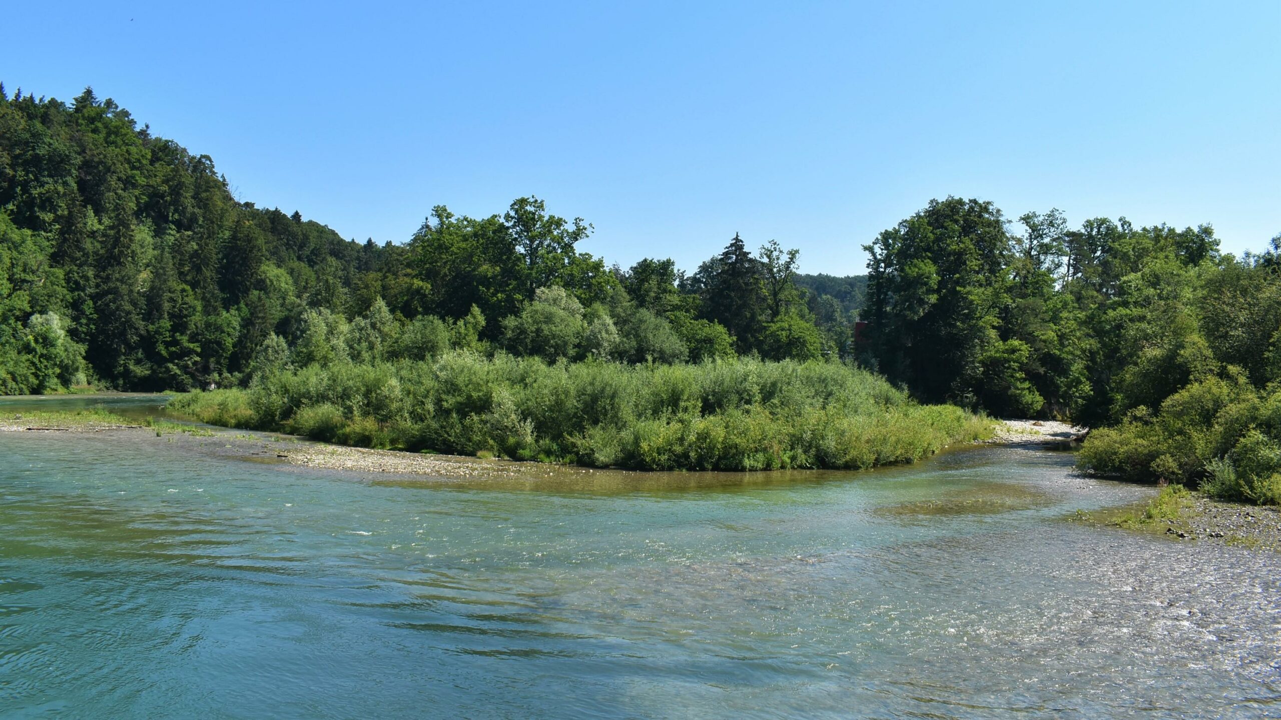



Properties of the itinerarie
Type of activity: Sports
Difficulty: Easy
Duration: 03:15
Distance: 10 km
Ascent/Descent: +333m / -322m
Altitude min./max.: 554m / 647m
Itinerary type
- Loop itinerary
- Scenic hike
- Along the water