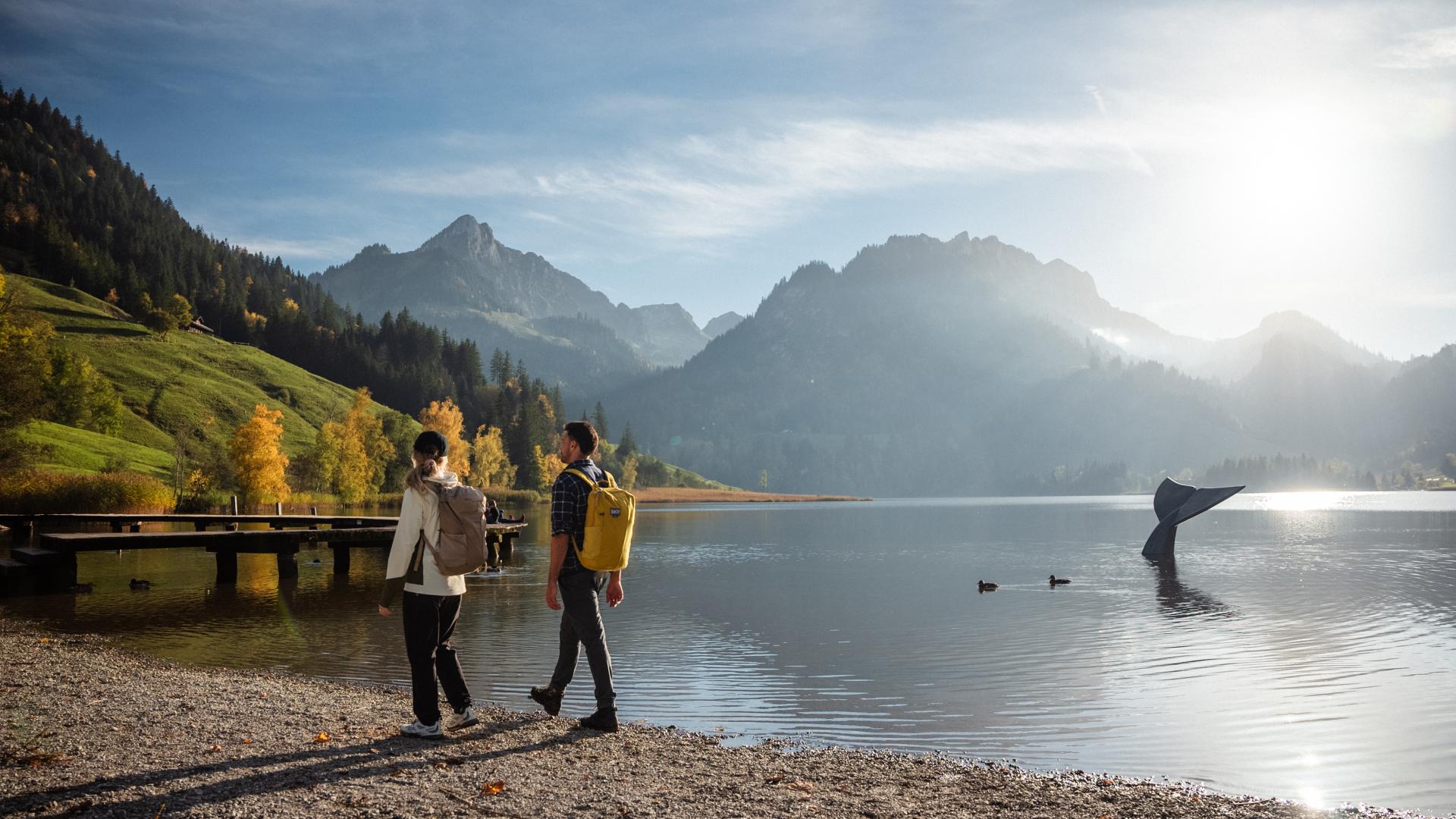


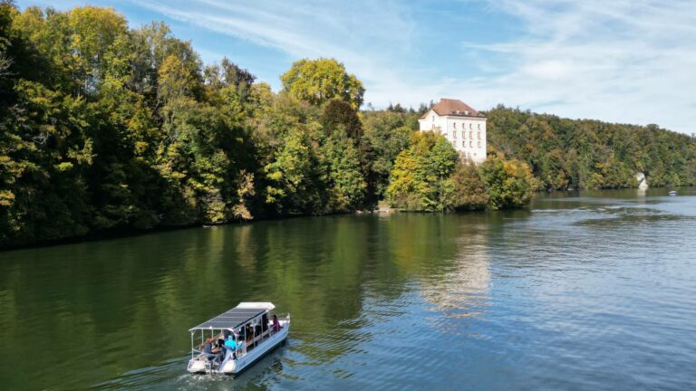
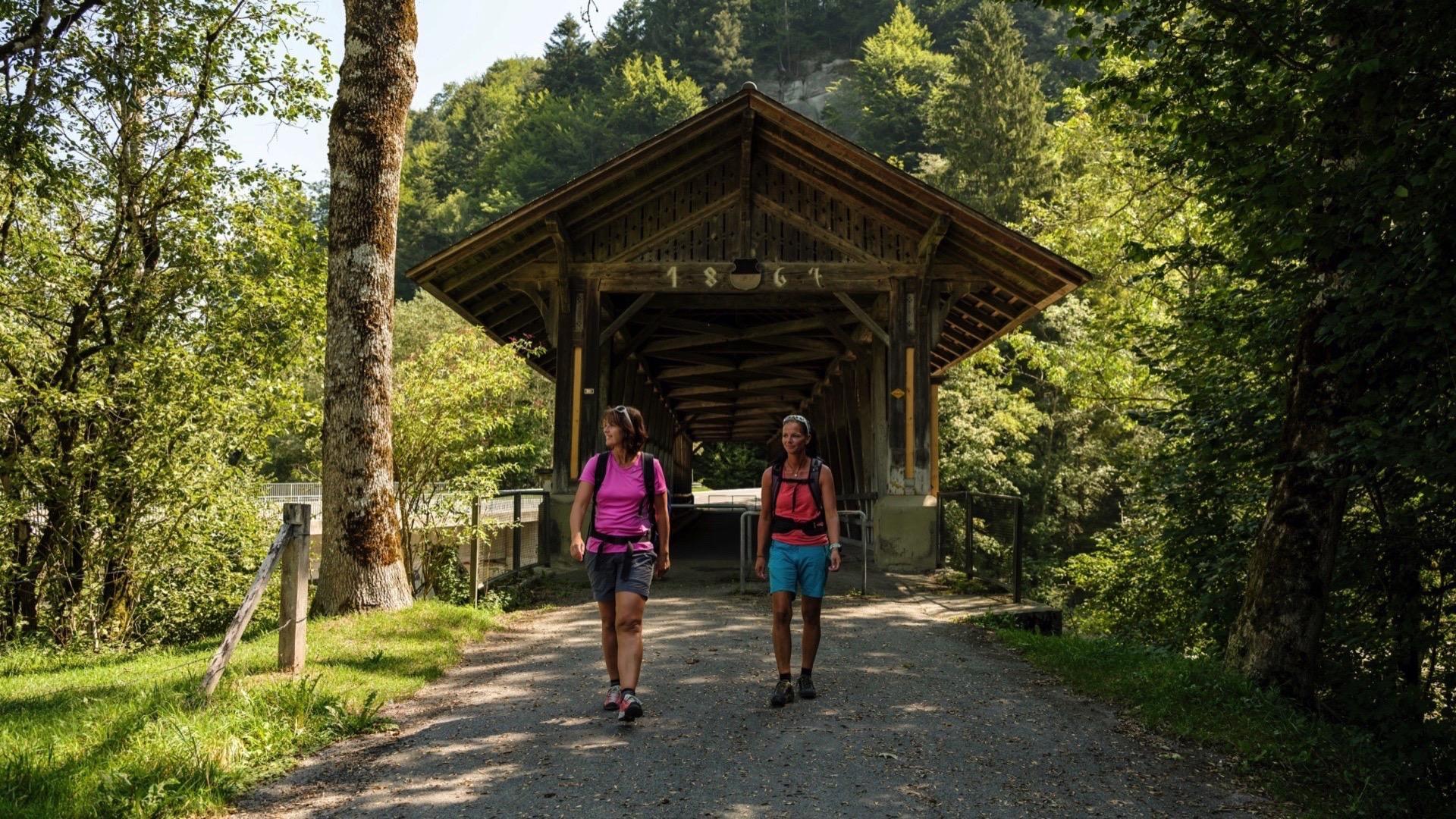
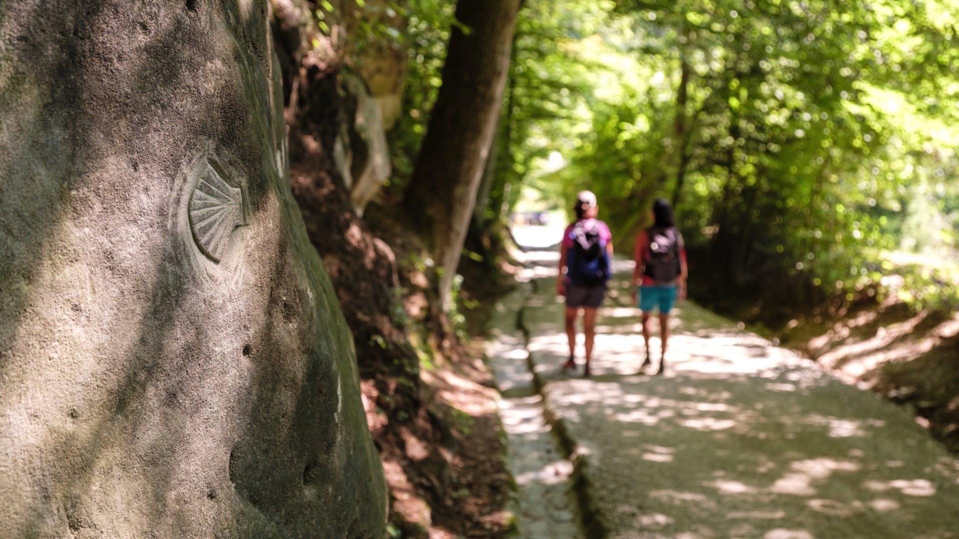
This stage of the Via Jacobi is a delightful walk that runs from the banks of the Sense, which forms the border with the canton of Bern in Sodbach, at the banks of the Sarine.
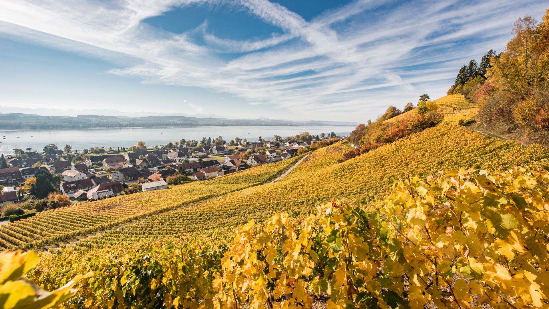
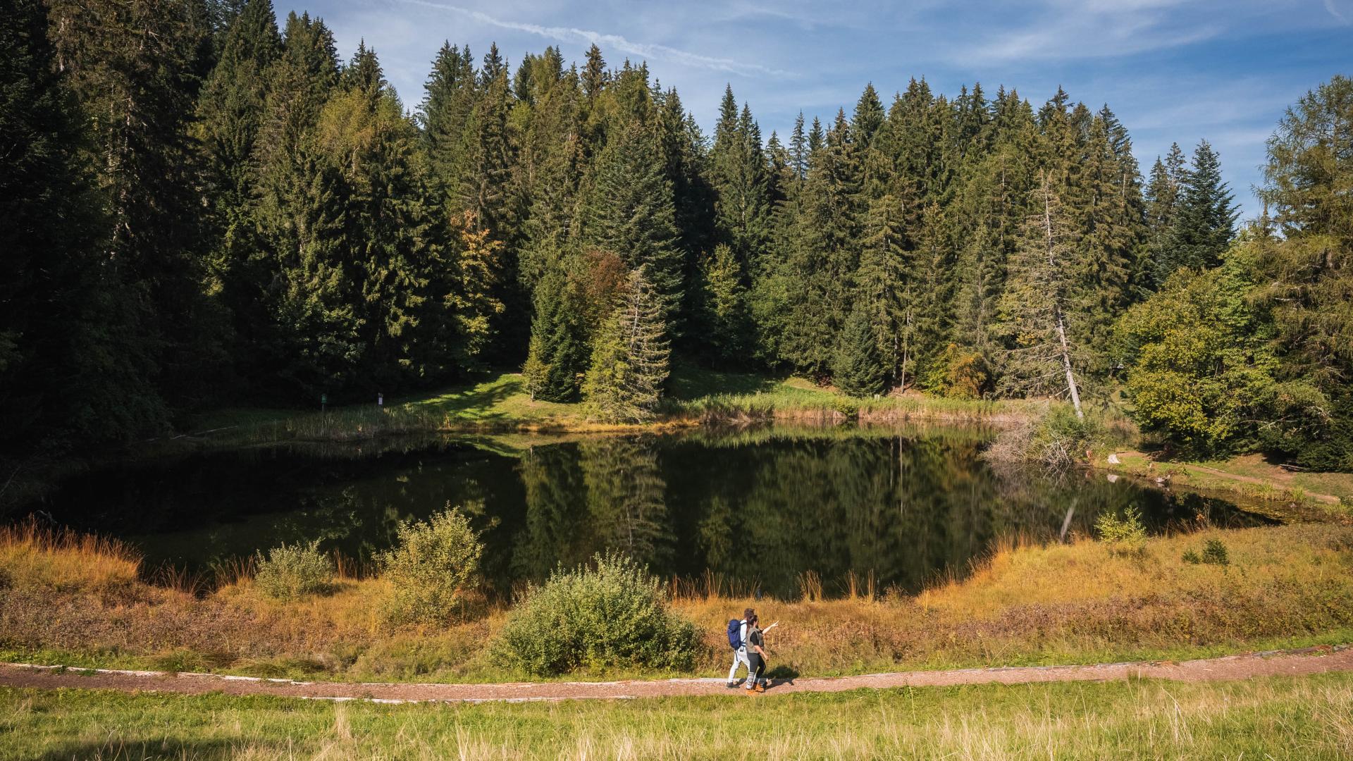
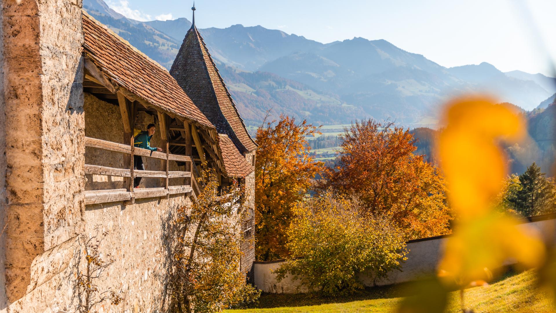
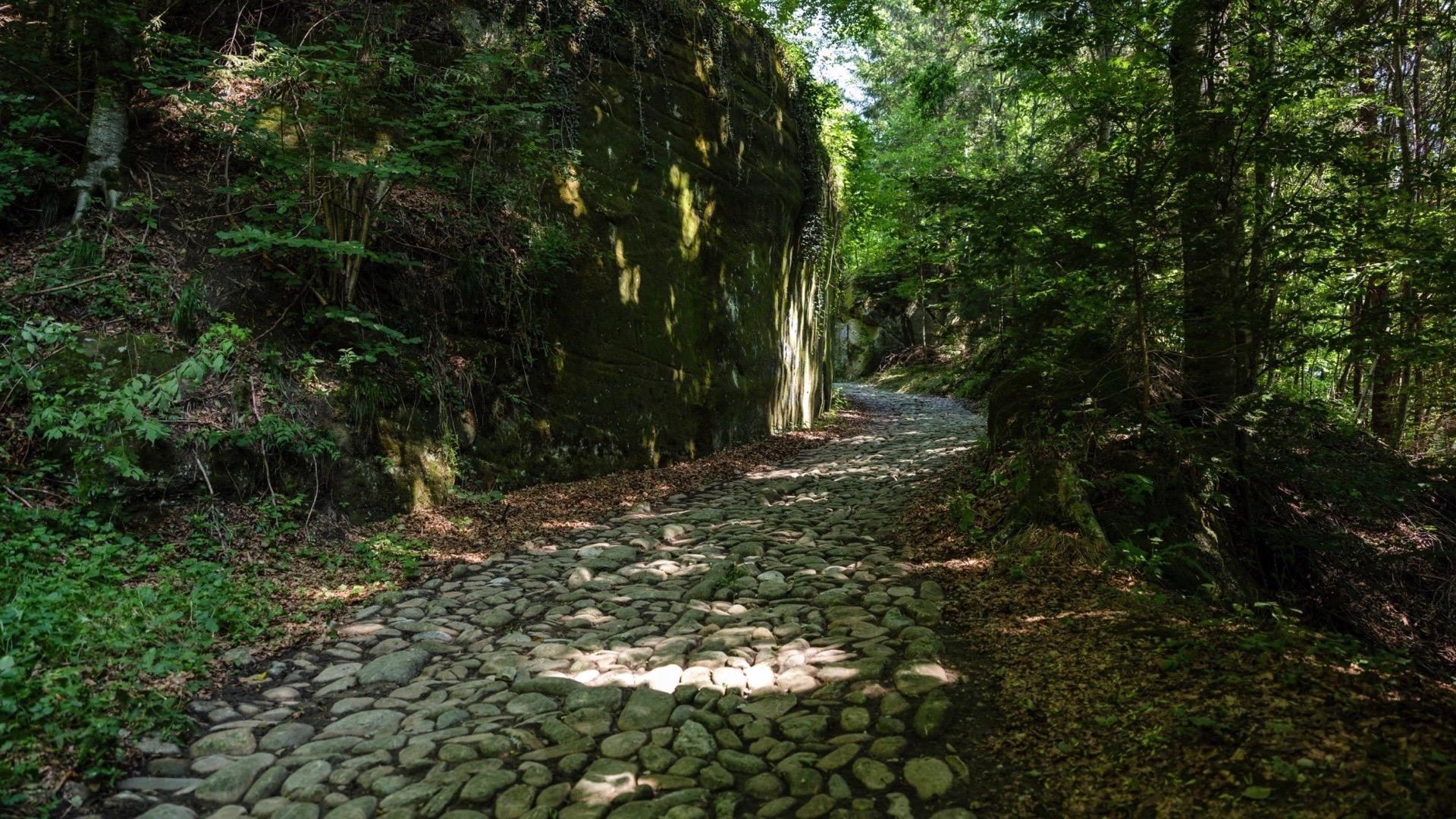
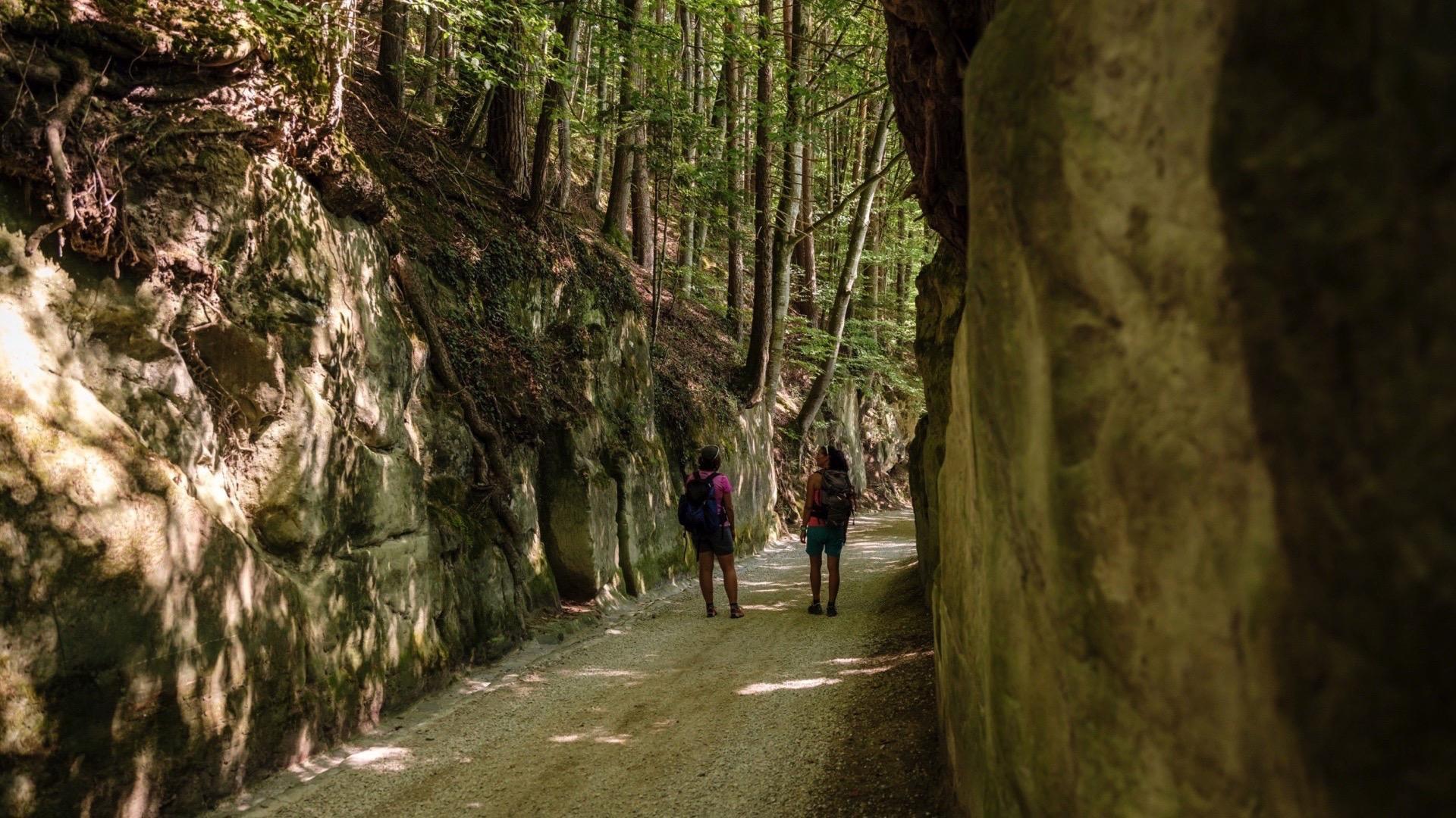
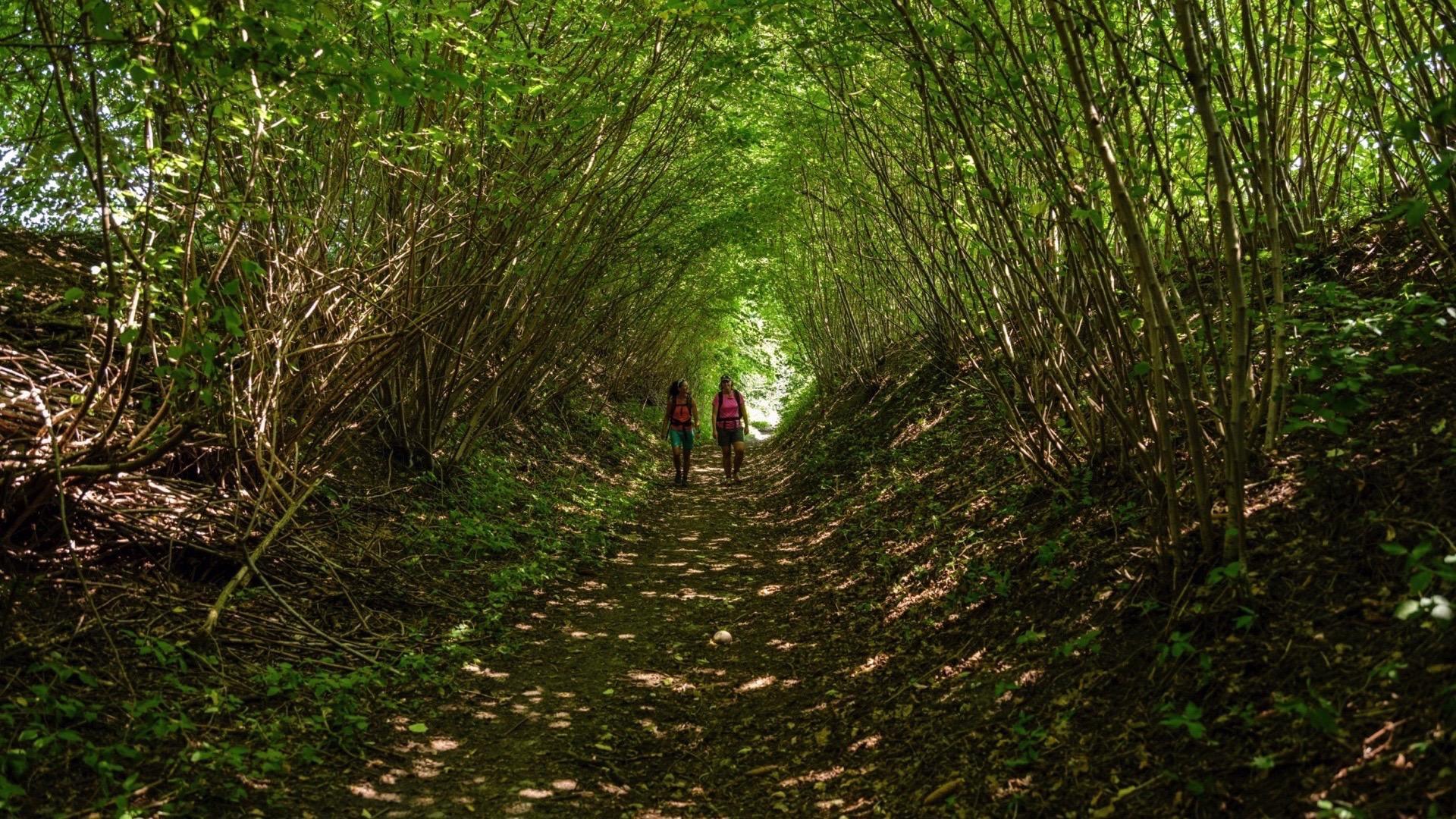
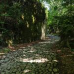
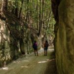
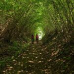
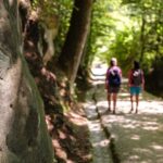
This hike connects Schwarzenburg to Fribourg through the preserved landscapes of the Singine region. It traverses the impressive gorges of the Singine, a protected natural site, as well as forests, meadows, and waterways, where one can observe the traces left by beavers. Not demanding in terms of elevation, the route offers numerous viewpoints over the Alps, the Jura, and the surrounding countryside.
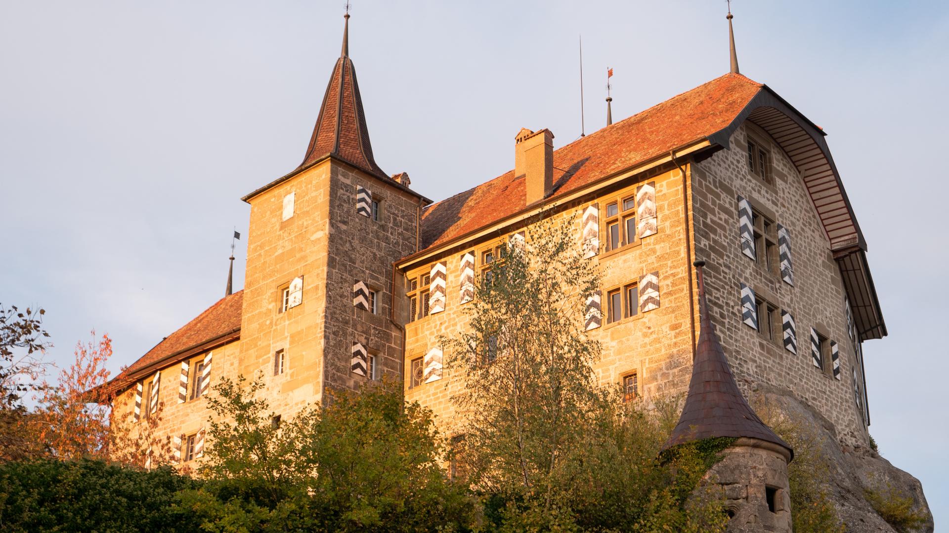
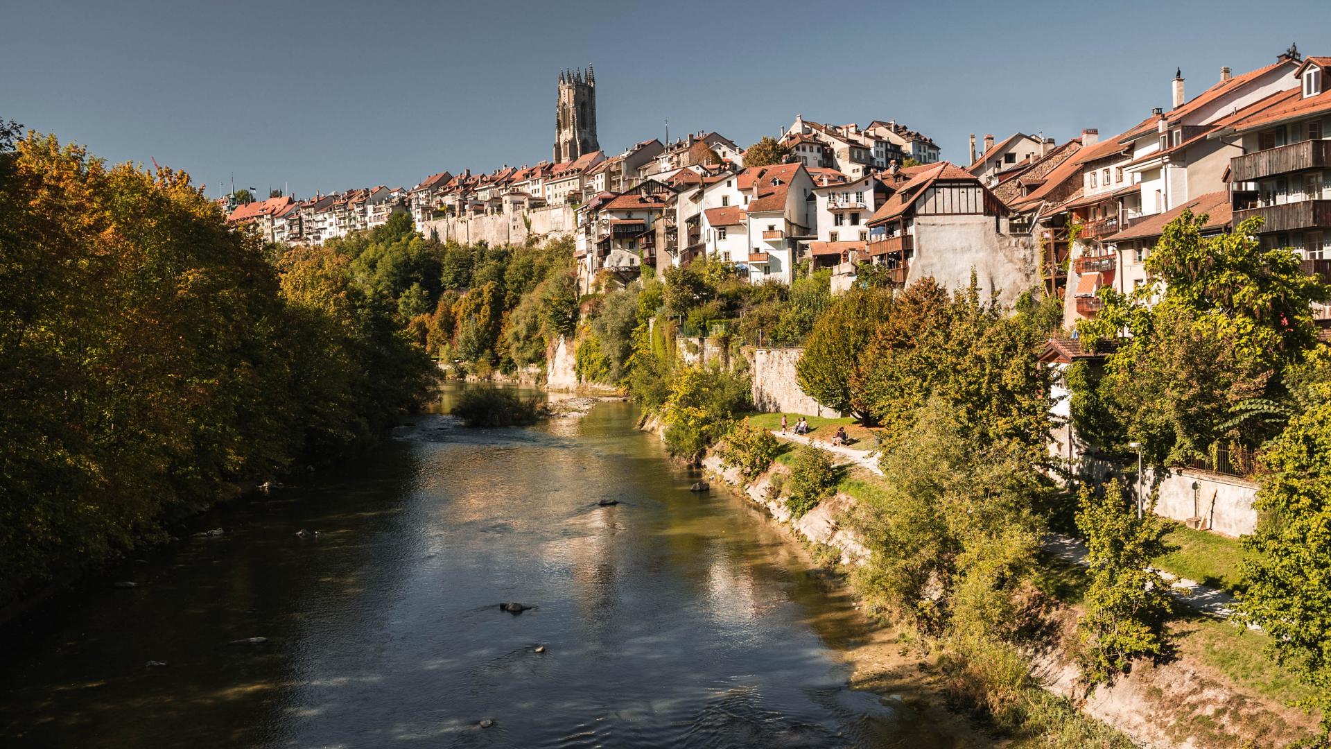
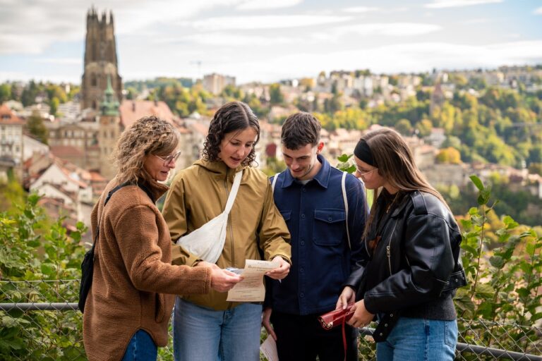
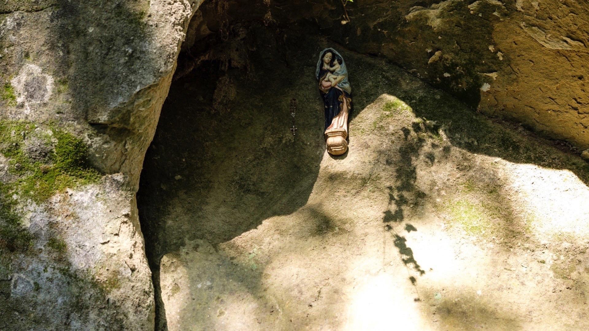
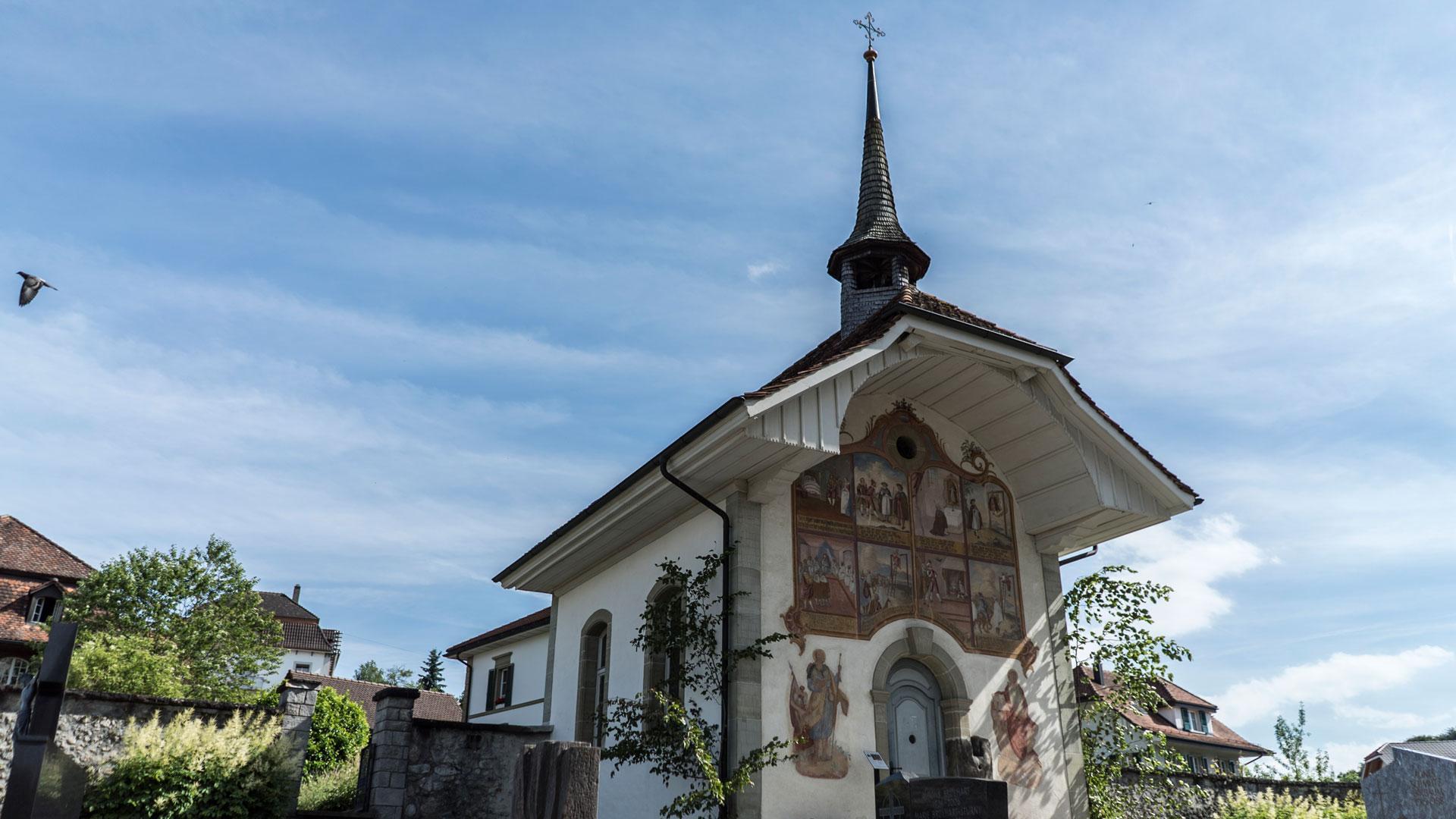
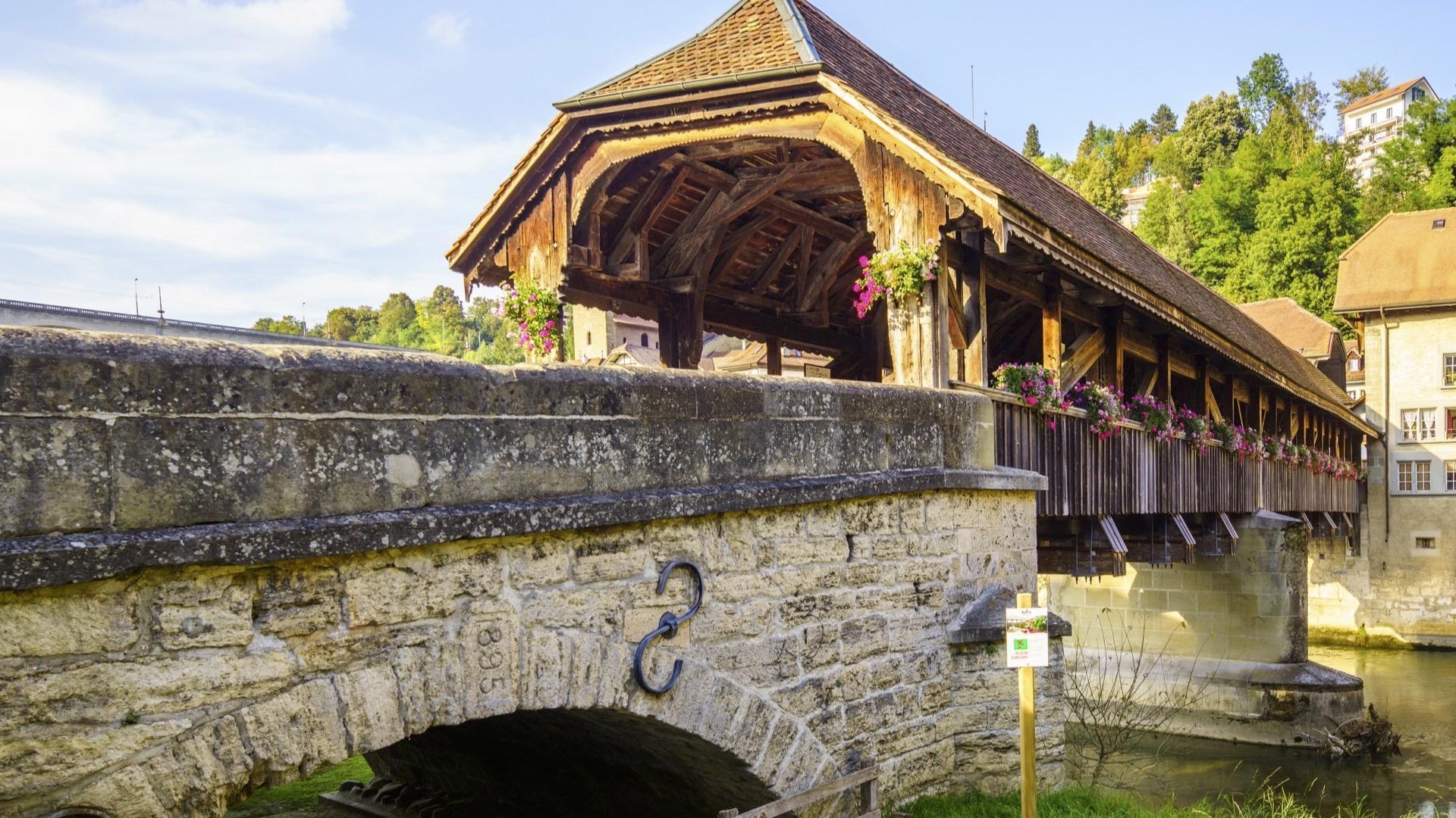
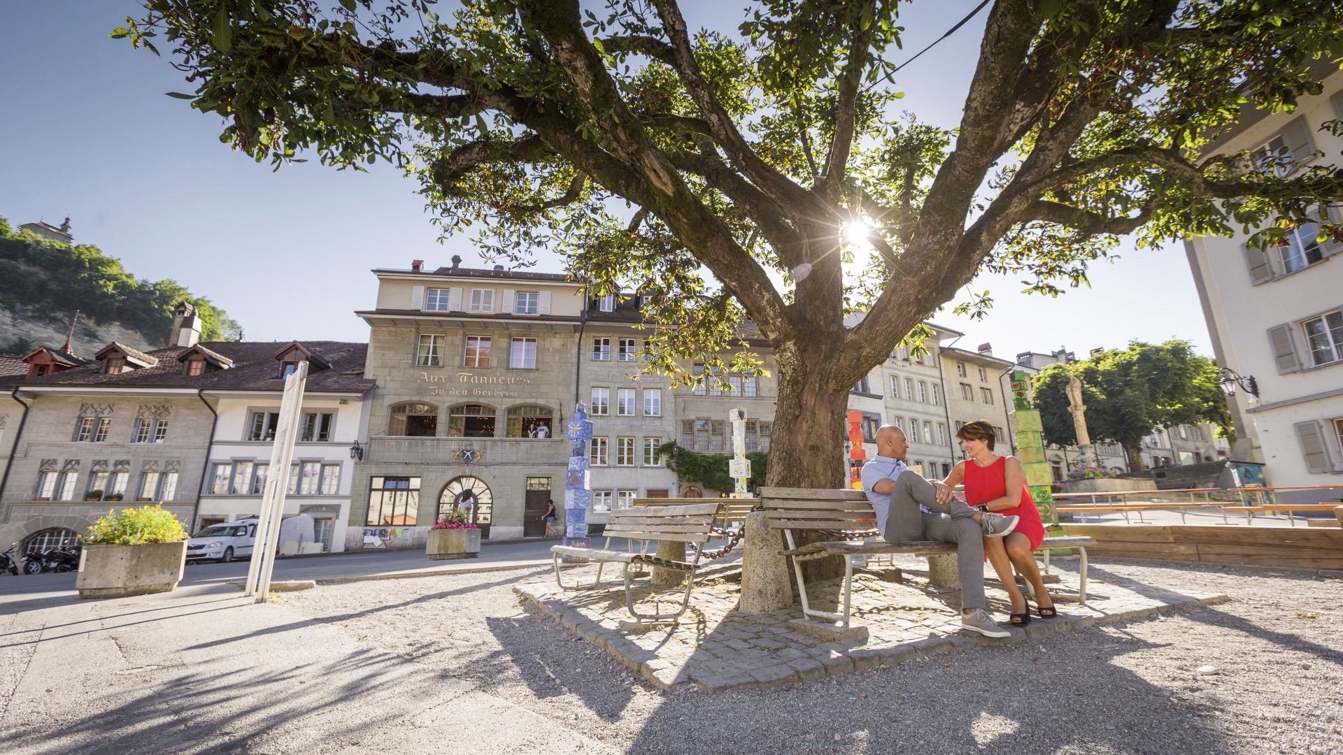
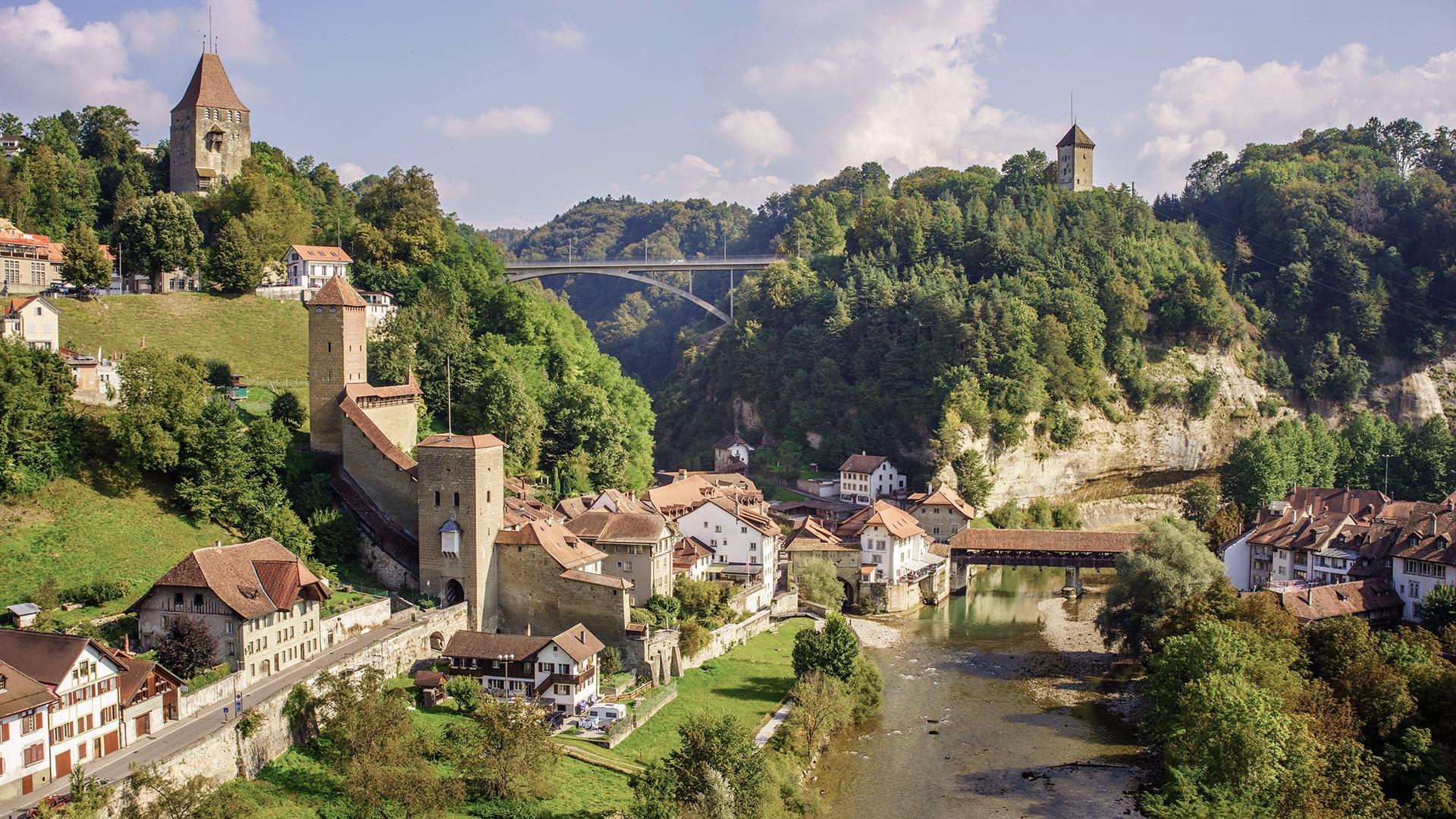
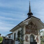
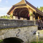
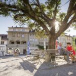
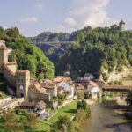
As you walk, the itinerary allows you to discover the cultural richness of the region, with its villages, churches, traditional farms, and the heritage of Singine. The arrival in Fribourg, with its panorama of the Old Town and the Cathedral of St. Nicholas, is one of the highlights of the journey.
Linking two train-served towns, this hike of approximately five hours is ideal for discovering the region sustainably, combining walking, public transport, nature, and heritage.
Accessible by public transport: yes
Accessible by car: yes
Properties of the itinerarie
Duration: 05:20
Distance: 20 km
Ascent/Descent: +516m / -682m
Altitude min./max.: 537m / 802m
Itinerary type
- Scenic hike
- Through the centuries