Region of Fribourg

Explore the canton of Fribourg and let yourself be surprised by the diversity of its landscapes, traditions, and way of life.

Choose a region

La Gruyère
Fribourg/
Sarine
Estavayer-le-Lac
Region
Region
Murtensee
Schwarzsee -
Senseland
Romont Région
Les Paccots
- La Veveyse

What are you looking for?

Choose a region

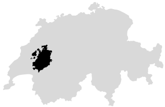
Welcome to the website of Fribourg Region and its tourist regions. Please select on the map the region you wish to discover and browse through its offers. We wish you a lot of fun!

swiss map
La Gruyere
Fribourg
Estavayer-le-Lac
Region
Région Lac
de Morat
Schwarzsee-
Senseland
Romont
Les Paccots
You are in the region
Search

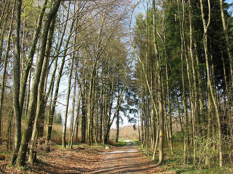
Walking trail around Belfaux

Properties of the itinerarie

Type of activity: Sports

Difficulty: Easy

Duration: 02:00

Distance: 7 km

Ascent/Descent: +235m / -245m

Altitude min./max.: 568m / 714m

Itinerary type

  • Loop itinerary

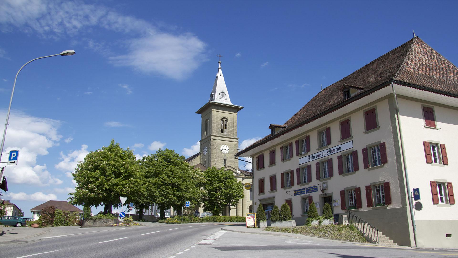
Belfaux is situated close to the center of Fribourg.

Belfaux, located in direct proximity to the centre of the Fribourg agglomeration.

The municipality is well served by public transport: trains on the Fribourg-Morat-Neuchâtel and Fribourg-Payerne-Yverdon lines, as well as bus lines departing from Fribourg to Avenches.

HIKING ROUTES:

From Belfaux to Autafond:
A 2-hour and 30-minute hike from Belfaux to Autafond, passing through the Bois des Devins and returning.

Information


Administration communale - Rte de Lossy 7
Belfaux

Information

Fribourg Tourisme et Région
Place Jean-Tinguely 1
Case postale 448
1700 Fribourg

Accessible by public transport: yes
Accessible by car: yes

Properties of the itinerarie

Type of activity: Sports

Difficulty: Easy

Duration: 02:00

Distance: 7 km

Ascent/Descent: +235m / -245m

Altitude min./max.: 568m / 714m

Itinerary type

  • Loop itinerary

Download files

External links

Report an error

More information

We use cookies to enhance your experience on our website.

OK Preferences