
Stage 1: Rossens–Fribourg
This wooded and hilly stage is characterized by the diversity of its landscapes and the richness of its natural heritage. The Sarine accompanies the trail, offering numerous viewpoints and illustrating the close relationship between water and land. Notable points of interest along the way include Illens Castle and Hauterive Abbey.
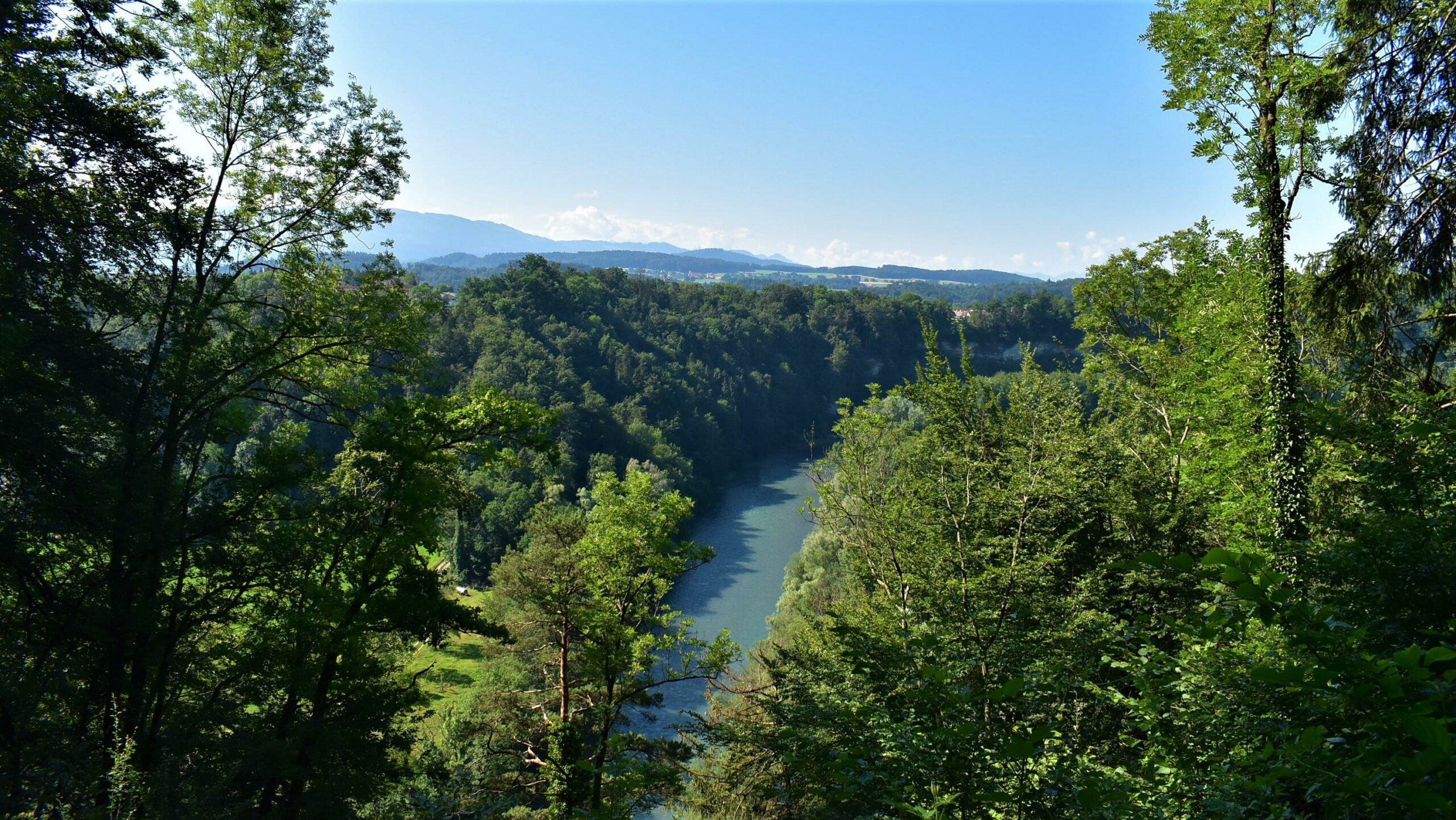
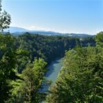
The first stage along the Fribourg Sarine begins with a series of ascents and descents through forests and meadows. Soon, the river comes into view, nestled between sandstone cliffs that provide magnificent views of its meanders.
Here, the route explores a region rich in historical heritage: perched above a bend in the Sarine are the remains of Illens Castle. Dating back to the 12th century, it is one of the most important historical monuments in the Canton of Fribourg. Further along lies the Cistercian Hauterive Abbey, also from the 12th century, which the trail passes by. Nestled in a green oasis, it reflects a long spiritual and architectural tradition. The name Hauterive comes from the high sandstone cliffs that form the right bank of the Sarine. A community of around twenty monks lives here a simple life. The abbey can be visited at certain times, and its shop is also worth a stop.
The bridges along the route are also of interest. After the abbey, the trail makes a detour to the Glâne River, where you cross the Saint Apolline Bridge, a pilgrimage bridge on the Way of St. James. In the first part of the route, you have already crossed the Tuffière Bridge, formerly a suspension bridge and now a two-lane road bridge. It is located in a protected amphibian breeding area along the Petite Sarine. Indeed, it is not only history that is present here, but also a unique natural environment: floodplains, forest reserves, and rocky outcrops host a diverse range of flora and fauna—dragonflies, wagtails, chamois, and amphibians all find refuge in this protected setting.
The stage ends at the gates of Fribourg, on the former industrial site of Les Charmettes. Right next to it, you will now find, among other things, the campus of the University of Fribourg, higher education institutions, and research centers. This illustrates the contrast between original natural landscapes and urban redevelopment, showing how the Sarine connects past and present while shaping the identity of the region.

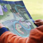
Properties of the itinerarie
Type of activity: Family
Difficulty: Easy
Duration: 04:45
Distance: 17 km
Ascent/Descent: +477m / -555m
Altitude min./max.: 562m / 712m
Itinerary type
- Scenic hike
- Family hike
- Educational hike
- Along the water