Enjoy a nice walk in the forests around Fribourg!
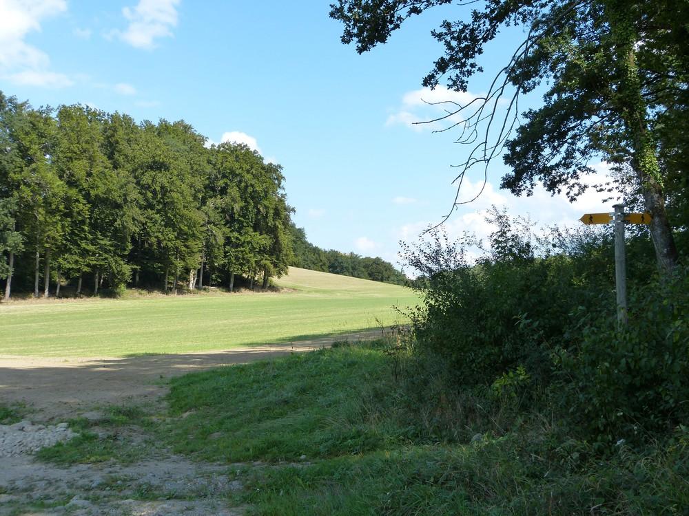
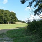
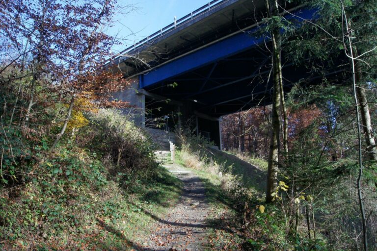
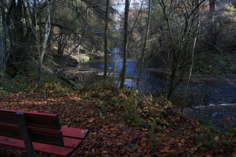
The route is carefully marked out and if you follow the yellow indicators, it is not possible to make a mistake. The start is at the gas station located just on the edge of Moncor Woods. The path through the forest is marked "Noréaz-Payerne". It is concreted but you can easily walk on the sides. After crossing the highway bridge, a natural paved path will remain almost the entire way. To reach the Swiss Village of Verdilloud, walk for half an hour. A little further on, after crossing a small brook, follow the markings so as not to miss, on the right, the path leading to the bank of the Sonnaz river that you will cross. The path then climbs up to the third forest: the Piamont wood. You will arrive at the height of the farm of Montossi where you can admire a view of the green Fribourg countryside as far as the Guggisberg and the heights that dominate the city of Bern. You can even see a small corner of Lake Schiffenen. Continue your walk downhill to the hamlet of Le Rafouet and its nurseries. Go up the path towards Nierlet-les-Bois. In the south of the village, at the crossroads of the road Nierlet-Ponthaux, the signposts lead you to the right and you enter the fourth forest: the Bois des Dailles or the State forest. At the exit of the wood, another glance at a beautiful landscape. Cross the village, go down towards the shooting range to find below the course of the Sonnaz river. Go back up to the hamlet above. Leave the village towards the south to find the forest of Verdilloud. A brand new path takes you back to the Swiss Village. The loop is complete, join Moncor by the path you took at the start.
Information
Fribourg Tourisme et Région
Place Jean-Tinguely 1
Case postale 448
1700 Fribourg
Information
Administration communale (Corminboeuf)
Route du Centre 25
1720 Corminboeuf
Accessible by public transport: yes
Accessible by car: yes
Properties of the itinerarie
Type of activity: Sports
Difficulty: Easy
Duration: 02:40
Distance: 9 km
Ascent/Descent: +546m / -525m
Altitude min./max.: 586m / 752m
 2026 IIHF Ice Hockey World Championship


