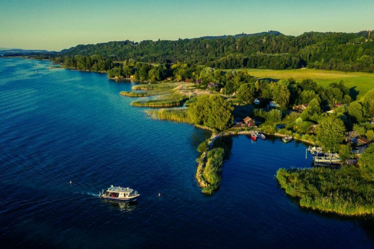
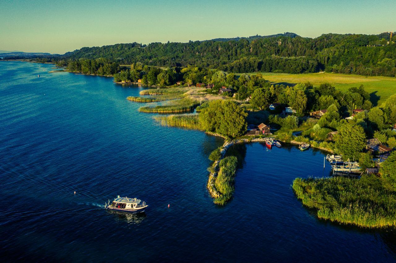
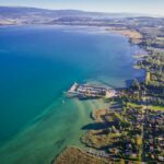
The southern shores of Lake Neuchâtel
Walking in the heart of the nature reserve
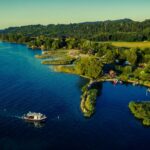
Setting off from the car park, we head towards the municipal tip to find the path leading towards the little houses at the lake’s edge, one or two of which are used for fishing. We continue our walk and enter the Grande Cariçaie, or more exactly the Grèves de la Motte nature reserve. We proceed along a boardwalk flanked by reeds, which are cut back on a regular basis throughout the year. As we are in a nature reserve, we have to keep to the official path.
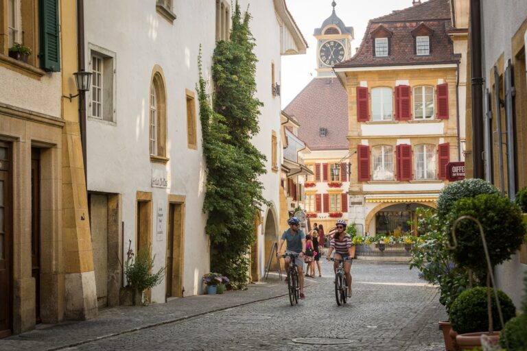
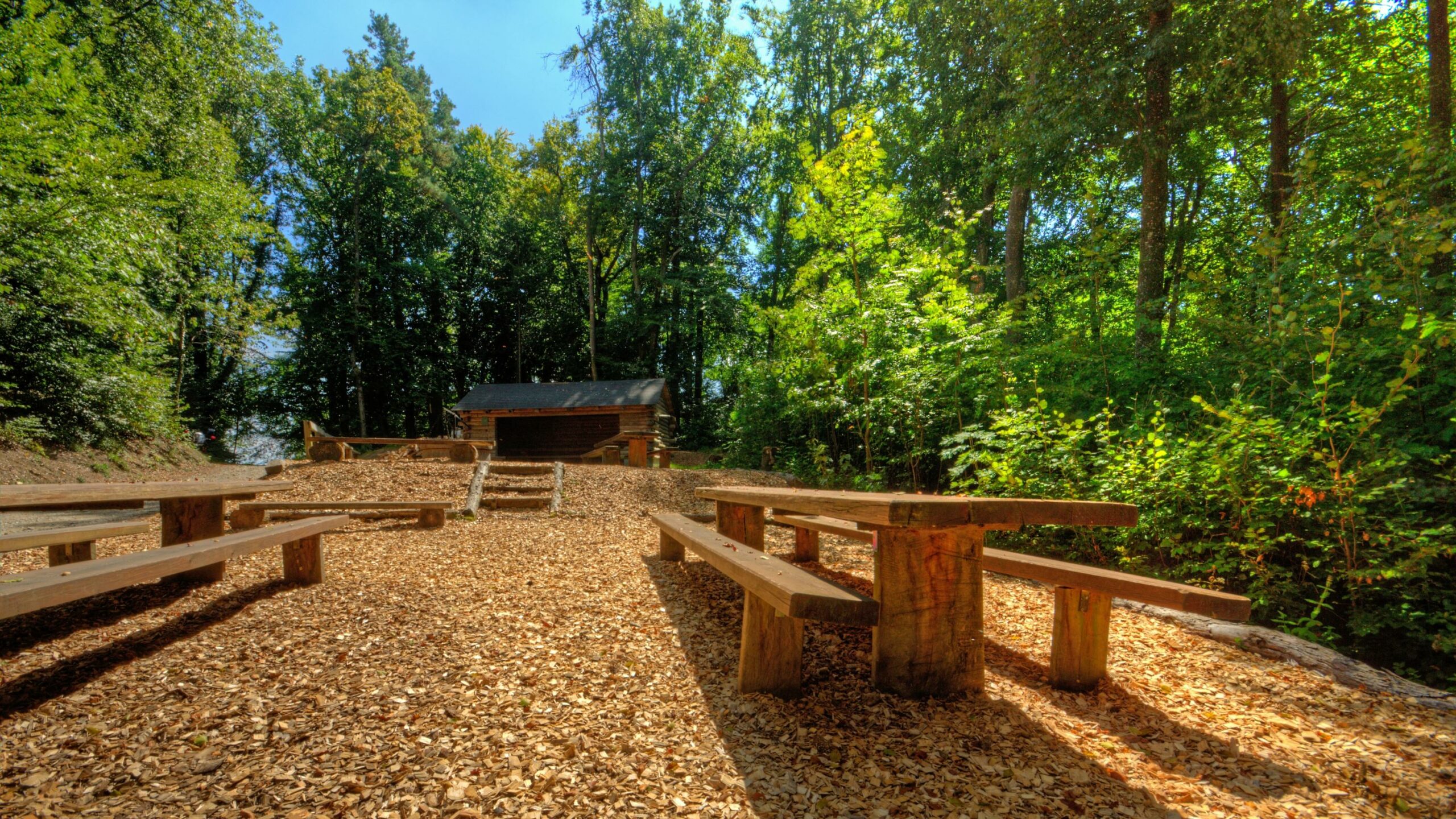
We finally reach terra firma again. The path is dotted with interpretation panels explaining aspects of interest in the Grande Cariçaie. Other signs point the way to a little sandy beach by the water’s edge. We retrace our steps and continue on our way. We also come across anti-tank defences (nicknamed “toblerones”) dating from the Second World War. We finally reach Cudrefin harbour, a good place to have something to eat. We then rejoin the wayparked path on the right and head towards Chammartin. Passing through Cudrefin village, we bear right at its outskirts and continue heading for Chammartin, which we reach from above while enjoying delightful views of the lake.
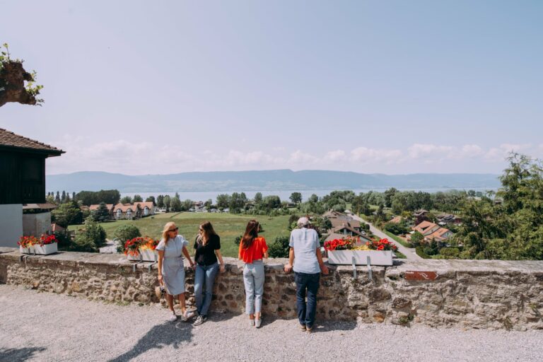
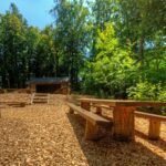
We arrive at Chammartin hamlet and the main road and, still following the waymarkings, head towards Portalban. The path passes through fields to Chabrey. We again follow the main road and enter the village. On leaving the village, we take our waymarked path on the right just before the bend. We pass through a little wood which we then skirt while enjoying a glorious panorama encompassing the Fribourg Broye, Prealps and Alps. Our itinerary brings us to Portalban from its higher reaches; the picnic spot here is handy for an end-of-walk break. Following the waymarking, we make our way down to Portalban and our departure point.
Information
Estavayer-le-Lac Région
Place des Bastians 1
1470 Estavayer-le-Lac

Properties of the itinerarie
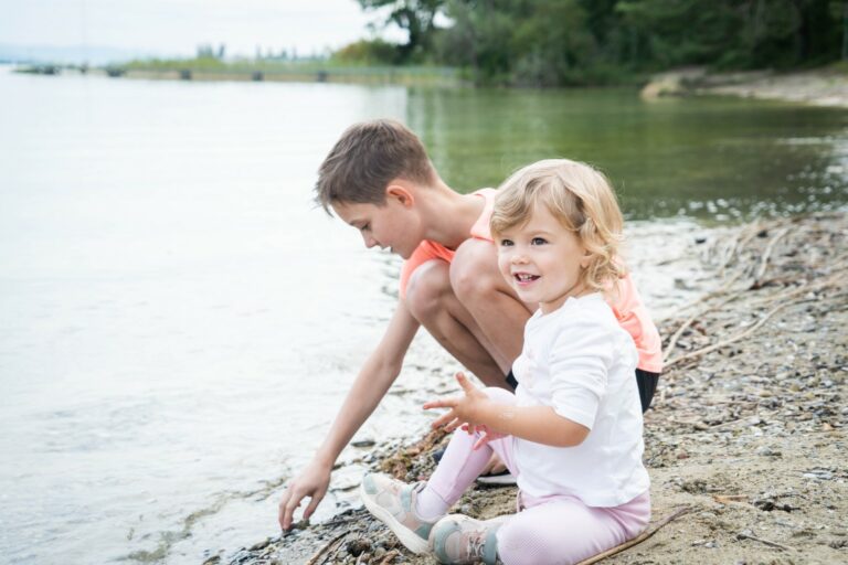
Type of activity: Family
Difficulty: Very easy
Duration: 01:47
Distance: 8 km
Ascent/Descent: +141m / -147m
Altitude min./max.: 428m / 527m
Itinerary type
- Scenic hike
- Family hike
- Along the water