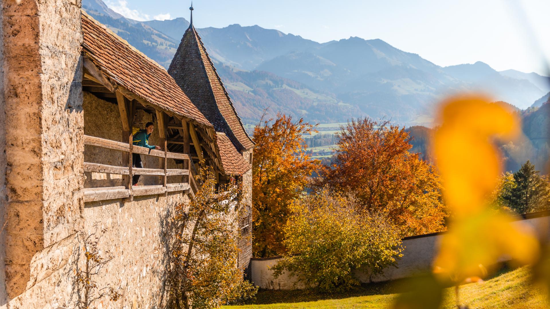
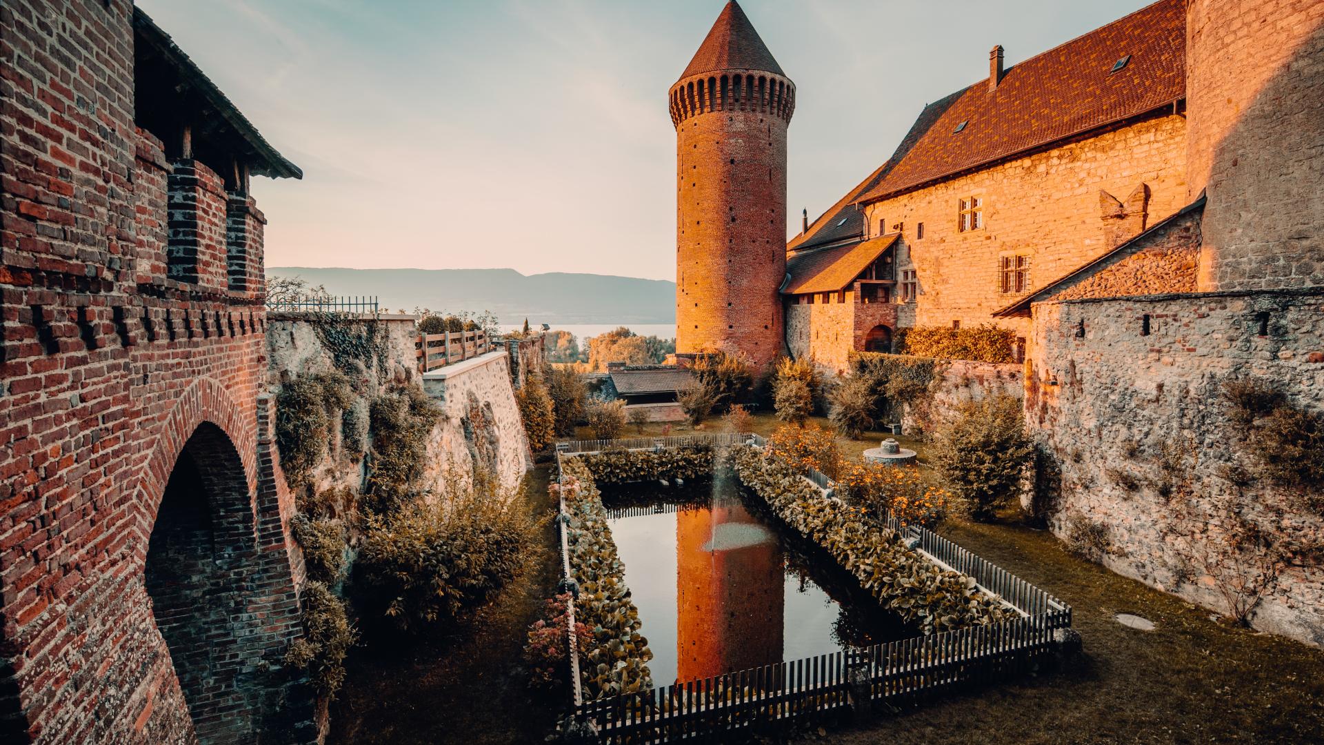


The sacred heritage of the abbeys and monasteries along the Sarin river has been elected « Landscape of the Year 2018 » . 17 kms of hike, from the Madelaine Hermitage to Hauterive along the Sarin river, you will discover some testimonies of the catholic tradition.
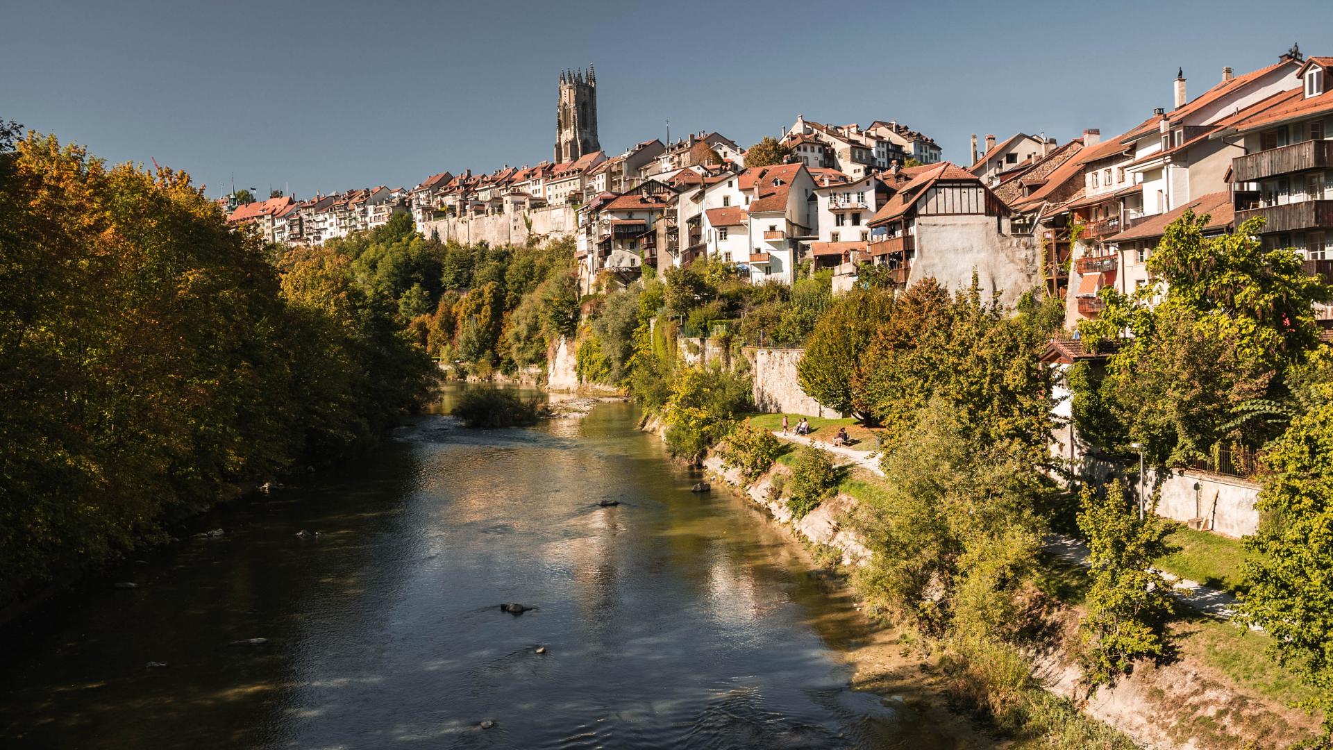
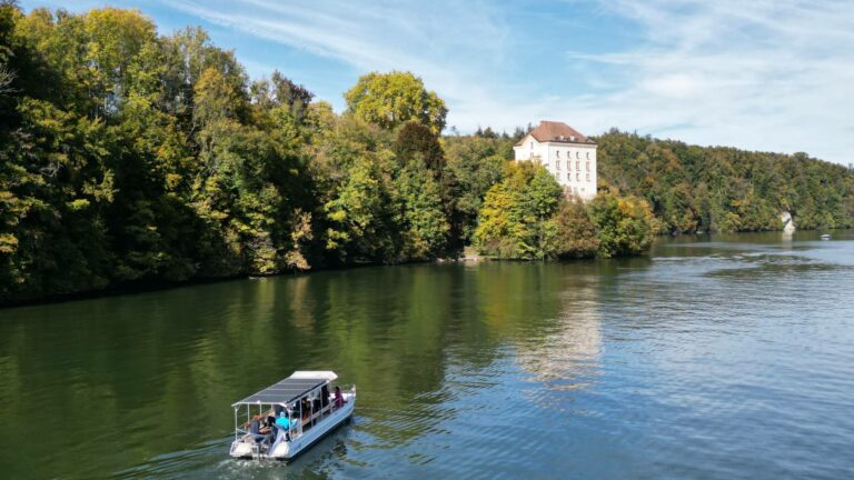
This hike connects Düdingen to the Abbey of Hauterive, following the landscapes shaped by water around Fribourg. Starting from the impressive Hermitage of La Madeleine, carved into the cliff, the route runs along the lake of Schiffenen and crosses the spectacular Grandfey viaduct before reaching the city of Fribourg.
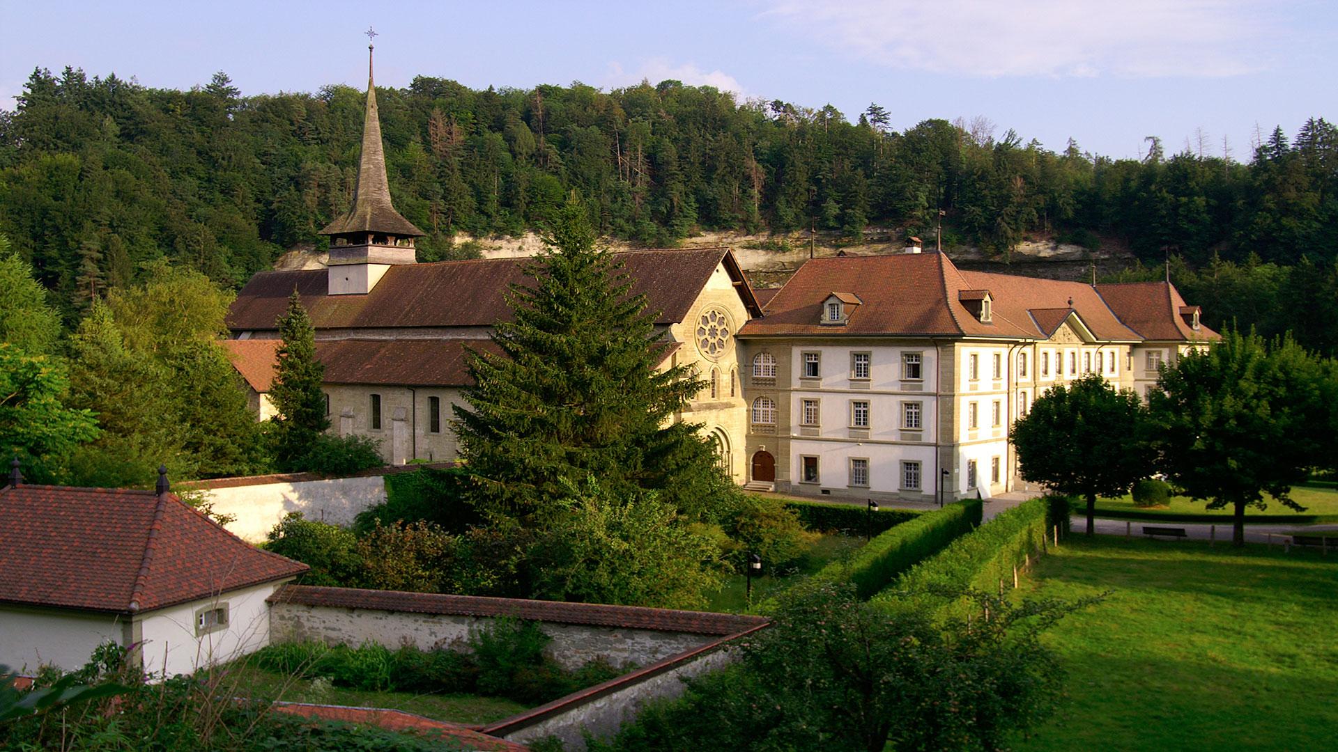
The itinerary then traverses the Old Town, follows the Sarine and the lake of Pérolles, now a nature reserve, and continues through forests, fields, and riverside landscapes until reaching the Abbey of Hauterive. Along the way, hikers discover a particularly rich heritage, blending nature, history, hydraulic works, and medieval and religious architecture.
This hike thus offers a wonderful way to explore the region's diversity on foot, in a spirit of sustainable mobility, while raising awareness of the richness of aquatic and natural environments. A visit to the fortifications of Fribourg, among the most remarkable ensembles of medieval military architecture in Switzerland, can also complement the journey.
Accessible by public transport: yes
Accessible by car: yes
Properties of the itinerarie
Difficulty: Very easy
Duration: 04:45
Distance: 17 km
Ascent/Descent: +865m / -864m
Altitude min./max.: 535m / 646m
Itinerary type
- Scenic hike
- Along the water
- Through the centuries