Region of Fribourg

The tourist region of Fribourg offers you unforgettable experiences... Lake, city or mountains, discover a real land of values!


Fribourg Meeting offers you the possibility to comfortably organize your future seminars or congresses.

Choose a region

La Gruyère
Fribourg
Estavayer-le-Lac
Region
Region
Murtensee
Schwarzsee -
Senseland
Romont Région
Les Paccots
- La Veveyse

What are you looking for?

Choose a region

Welcome to the website of Fribourg Region and its tourist regions. Please select on the map the region you wish to discover and browse through its offers. We wish you a lot of fun!

swiss map
La Gruyere
Fribourg
Estavayer-le-Lac
Region
Région Lac
de Morat
Schwarzsee-
Senseland
Romont
Les Paccots
You are in the region
Search

Hiking trail Corminboeuf – over the water

Properties of the itinerarie

Type of activity: Family

Difficulty: Moderately difficult

Duration: 02:00

Distance: 10 km

Ascent/Descent: +273m / -267m

Altitude min./max.: 593m / 708m

Hiking in Corminboeuf

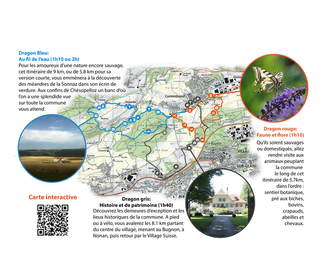
Blue Dragon, Over the water (1h10 or 2h):
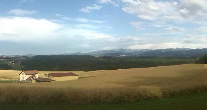
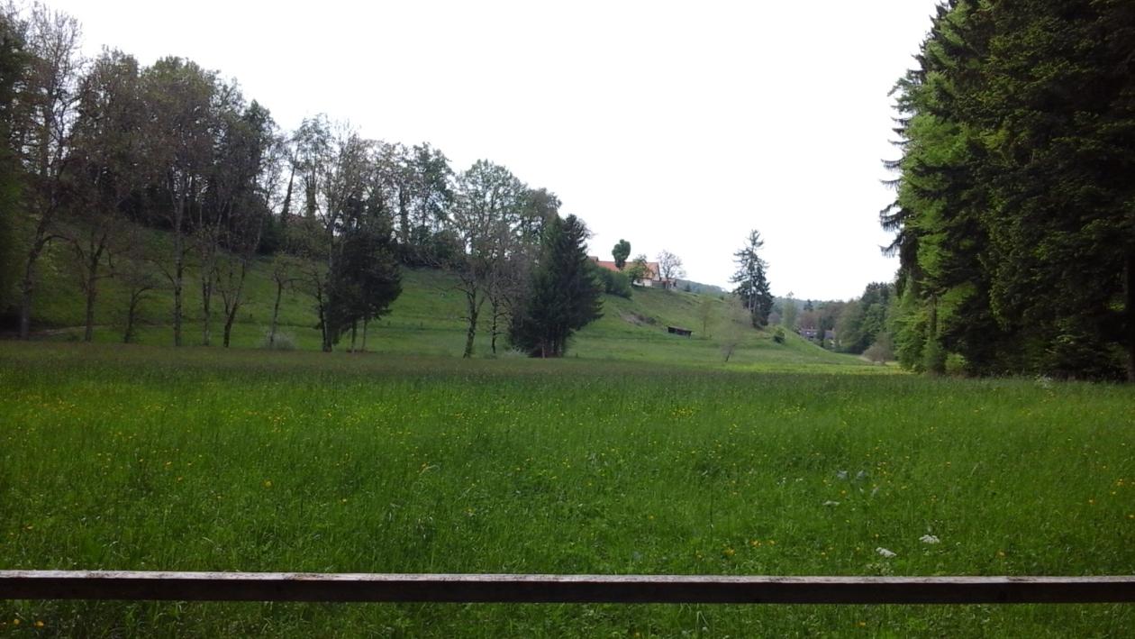
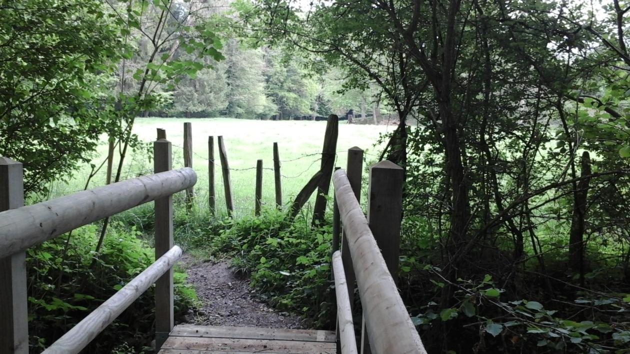
For lovers of a still wild nature, this 9 km itinerary, or 5.8 km for its short version, will take you to discover the meanders of the Sonnaz in its green setting. On the borders of Chésopelloz a bench from where you have a splendid view of the whole town awaits you.

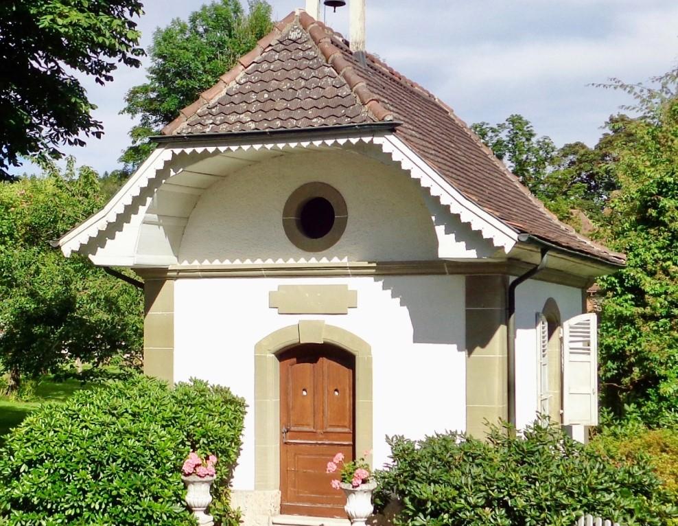
The advice: the chapel of Corminboeuf - this chapel, attested in the 13th century, has a Romanesque structure. It features ancient frescoes (St. George, St. Onuphre) and a Virgin with a medieval Child. Great Christ on a cross on a column in front of the altar and Gothic ceiling. Baroque altar with a jovial Saint George on its throne.

Information

Administration communale
Route du Centre 25
1720 Corminboeuf

Information

Fribourg Tourisme et Région
Place Jean-Tinguely 1
Case postale 448
1700 Fribourg

Accessible by public transport: yes
Accessible by car: yes


Interactive map available on the website of the commune of Corminboeuf

Properties of the itinerarie

Type of activity: Family

Difficulty: Moderately difficult

Duration: 02:00

Distance: 10 km

Ascent/Descent: +273m / -267m

Altitude min./max.: 593m / 708m

Download files

External links

Report an error

More information

We use cookies to provide you with a better experience.

By browsing this site, you accept the Data Protection Policy, as well as the use of cookies to collect statistics for the purpose of continually improving the website.

Close