Discover Fribourg’s amazing urban biodiversity on this walking trail.
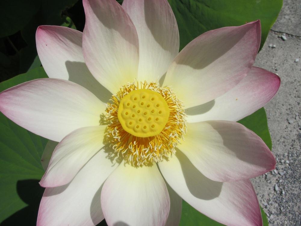
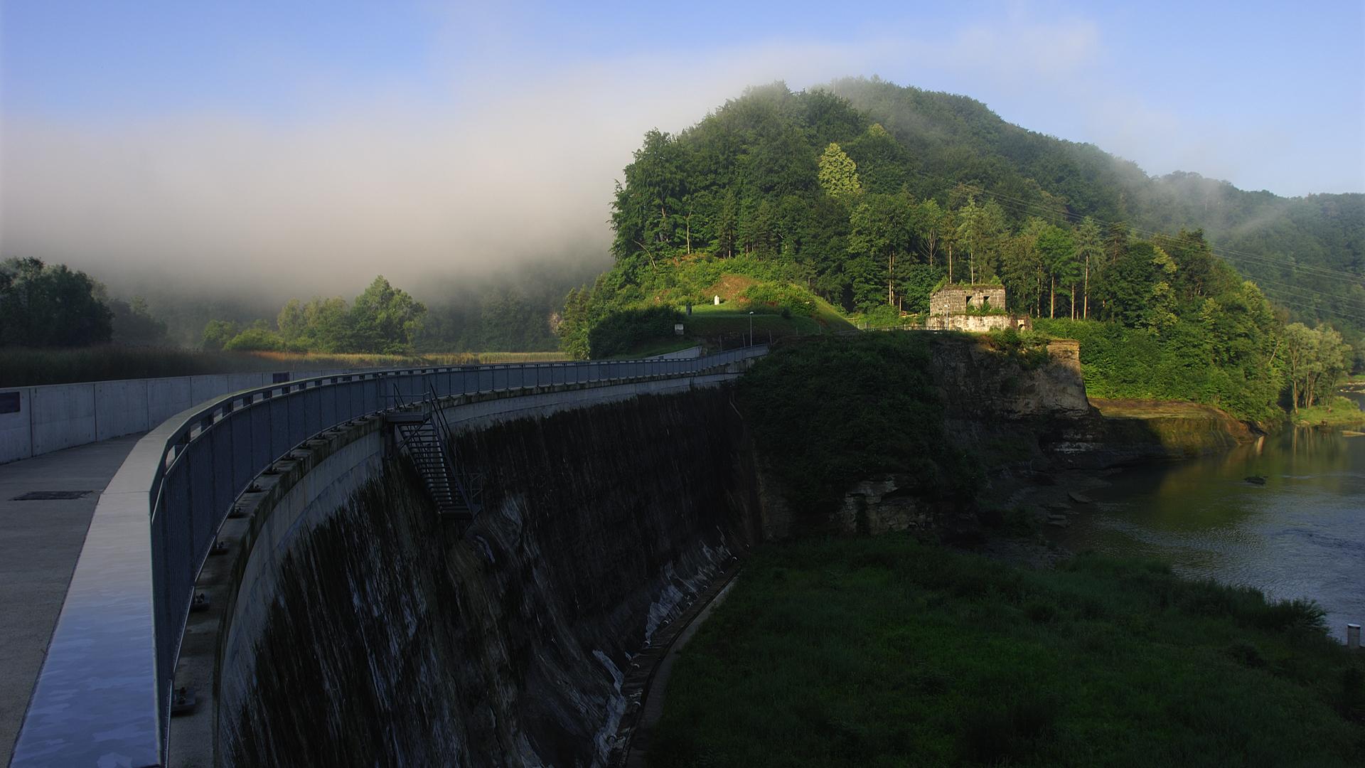
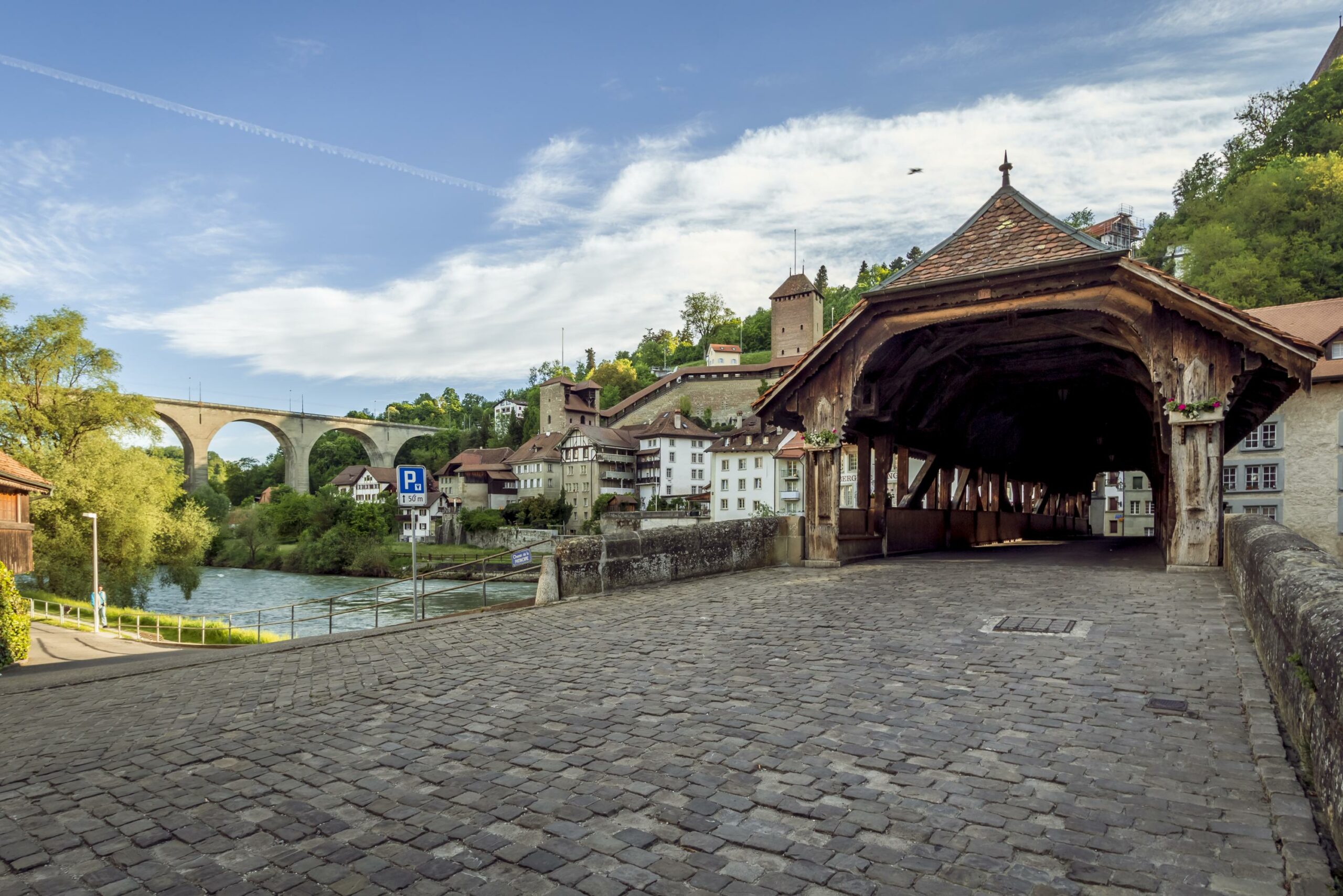
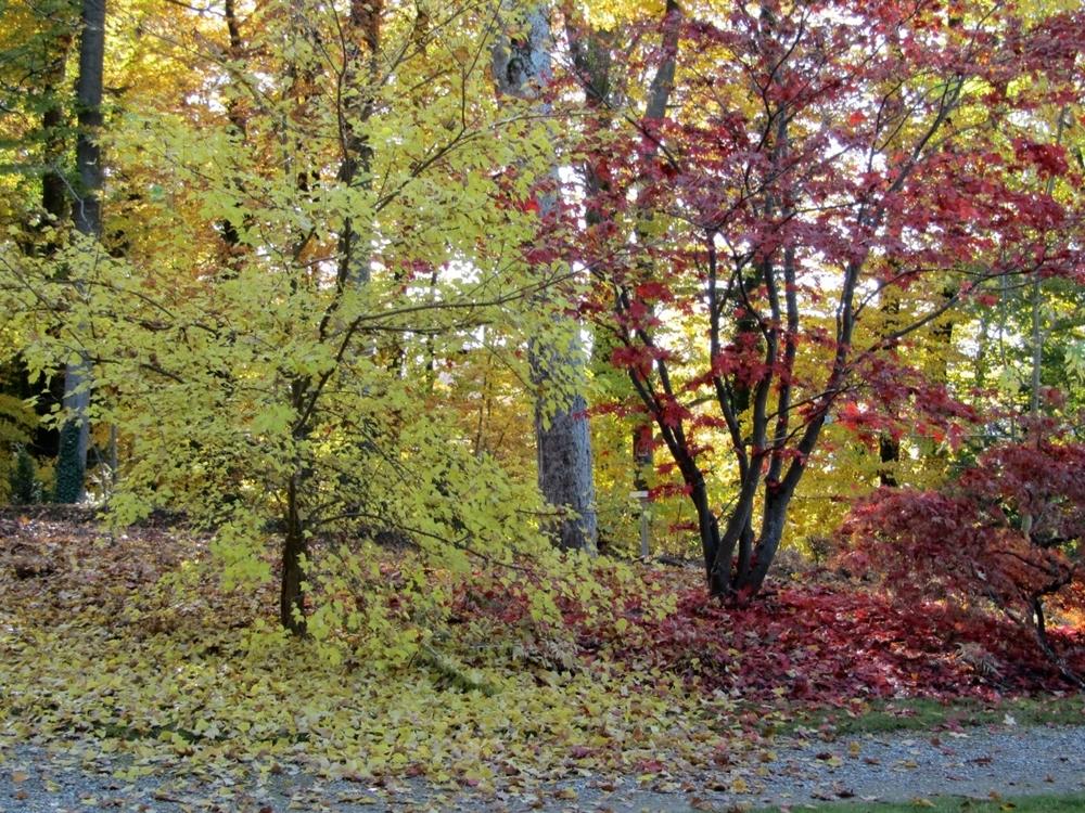
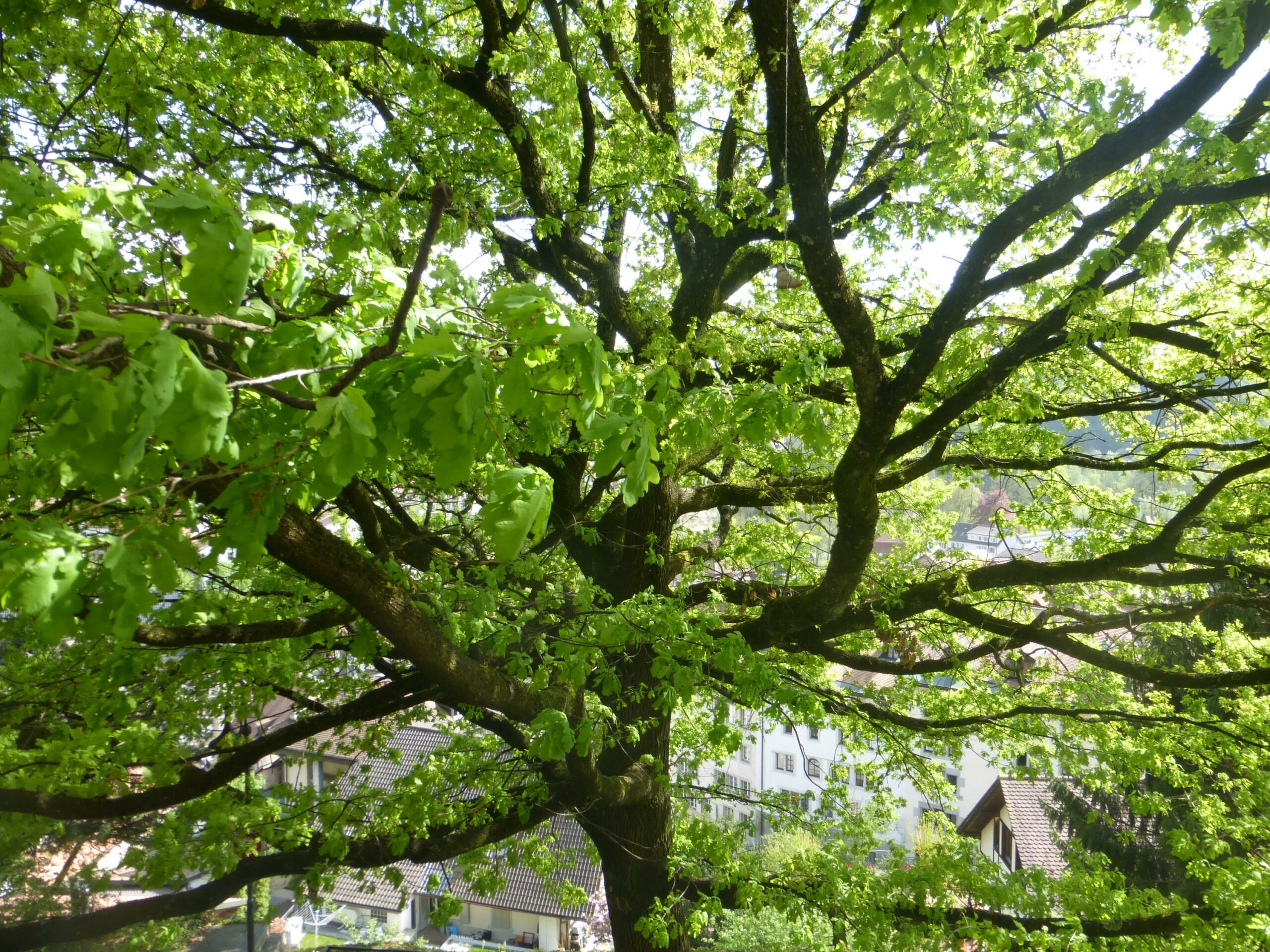
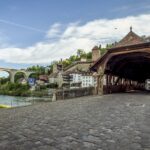
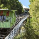
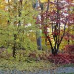
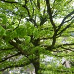
The WWF trail through the streets of Fribourg offers a fascinating glimpse into the wild nature that abounds in the city and how human action can help preserve its biodiversity. There is a fun and informative brochure to accompany the trail. Suitable for all ages, it will make you see the city in a completely new light! The brochure is full of fascinating facts about some of the old town’s most popular attractions like the funicular and the Pont de Berne, not to mention detailed descriptions of the plants that you are likely to encounter along the way.
Brochure available at Fribourg Tourism office.
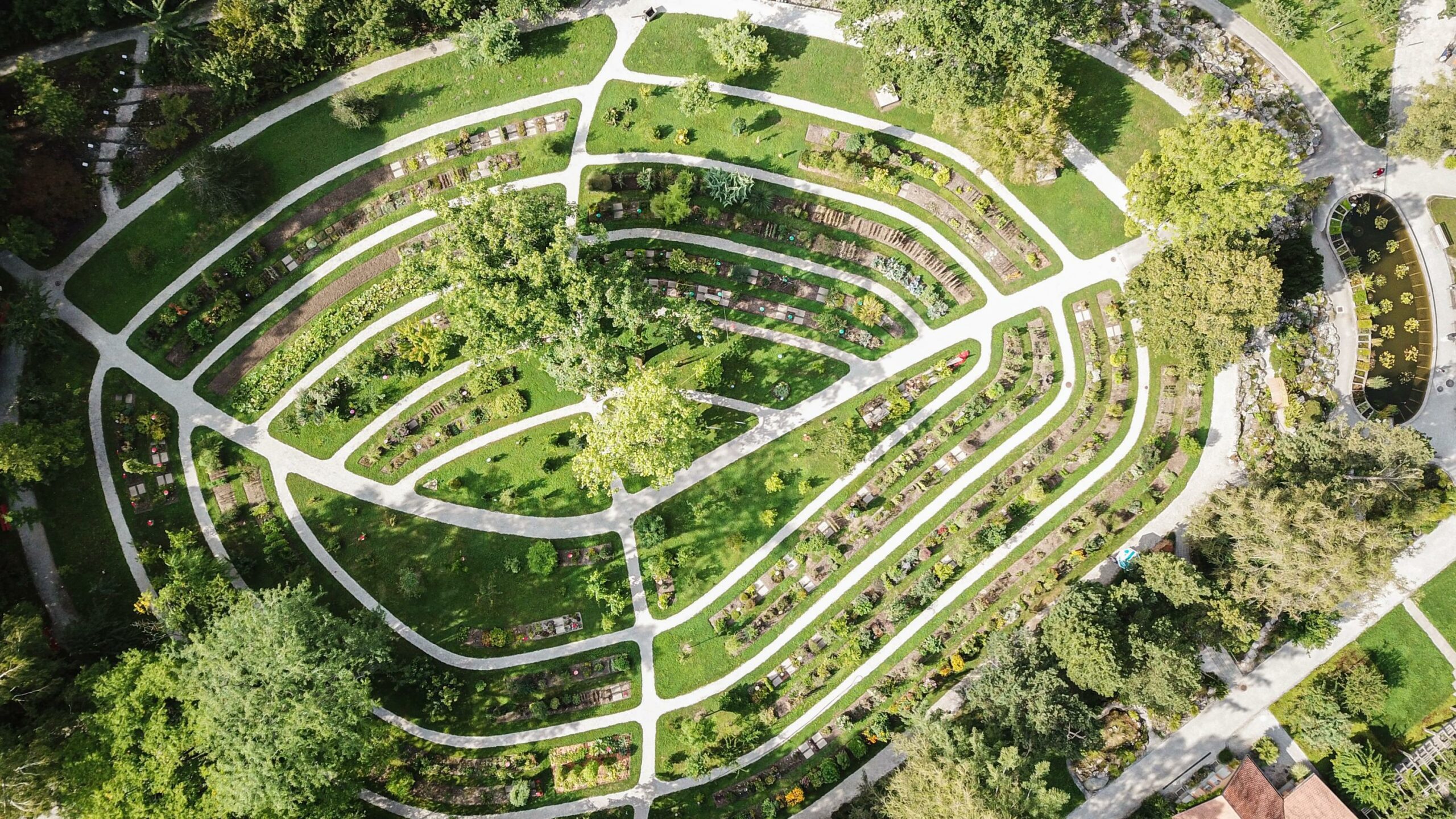
Tip: Take advantage of your walk to visit the botanical garden
Information
Fribourg Tourisme et Région
Place Jean-Tinguely 1
Case postale 448
1700 Fribourg
Information
WWF Fribourg, Route de la Fonderie 8c, 1700, Fribourg
1700 Fribourg
Departure and arrival: Fribourg city center
Accessible by car: yes
Accessible by public transport: yes
Properties of the itinerarie
Type of activity: Family
Difficulty: Easy
Duration: 02:00
Distance: 7 km
Ascent/Descent: +161m / -170m
Altitude min./max.: 533m / 636m
 2026 IIHF Ice Hockey World Championship


