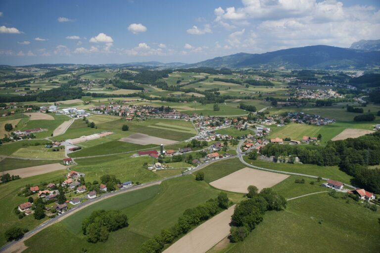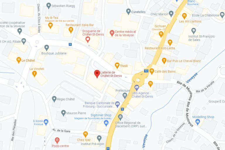

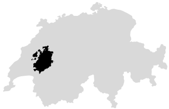





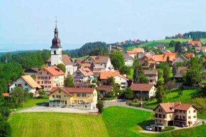
The municipality of Remaufens, located in the south of the canton of Fribourg in the district of Veveyse, covers an area of 592 hectares. It is situated between the municipalities of Châtel-Saint-Denis, Semsales, and Attalens, as well as the Vaud municipalities of Oron, Maracon, and Corsier-sur-Vevey.
Attached to the Rhine basin by the Broye, which limits it to the west, and the Tatrel, which collects its waters on the southern slope, the municipality climbs Mont-Vuarat to an altitude of 887 m, descends the Cornifel to the station, the lowest point at 754 m, and quickly rises to a narrow plateau averaging 845 m that extends west towards Tatroz (municipality of Attalens) and east towards Châtel-Saint-Denis, terminating to the north with forests, marshes, and peat bogs towards Rougève and Semsales. Two streams still drain this plateau, covered with sandstone hills from its glacial origin: the Montélly, running north-south, and the Rio-Mettraux, which joins the Broye by cutting its bed transversely from east to west.
Located 30 minutes from Fribourg and 15 minutes from Vevey by car, it is served by the Fribourg Public Transport to reach Palézieux or Bulle by train.
Administration Communale
Rte Villageoise 53
1617 Remaufens