Region of Fribourg

Explore the canton of Fribourg and let yourself be surprised by the diversity of its landscapes, traditions, and way of life.

Choose a region

La Gruyère
Fribourg/
Sarine
Estavayer-le-Lac
Region
Region
Murtensee
Schwarzsee -
Senseland
Romont Région
Les Paccots
- La Veveyse

What are you looking for?

Choose a region

Welcome to the website of Fribourg Region and its tourist regions. Please select on the map the region you wish to discover and browse through its offers. We wish you a lot of fun!

swiss map
La Gruyere
Fribourg
Estavayer-le-Lac
Region
Région Lac
de Morat
Schwarzsee-
Senseland
Romont
Les Paccots
You are in the region
Search
Newsletter

Under the Dent de Lys by Rathvel

Properties of the itinerarie

Type of activity: Sports

Difficulty: Moderately difficult

Duration: 04:15

Distance: 27 km

Ascent/Descent: +979m / -979m

Altitude min./max.: 808m / 1545m

Itinerary type

  • Loop itinerary

Under the Dent de Lys

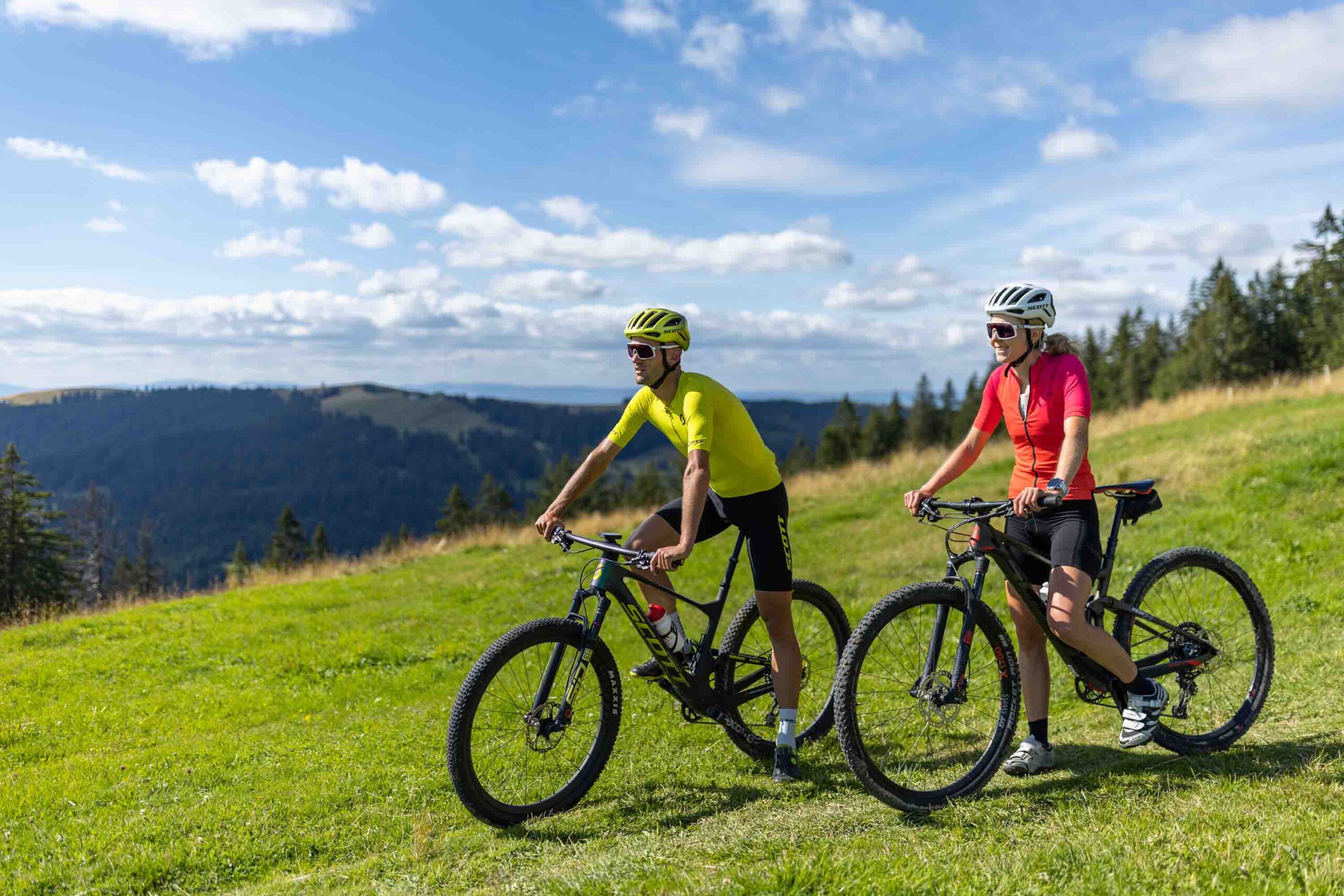
Starting from Châtel-St-Denis, this 27 km loop route gradually ascends towards Les Paccots before soaring into the heights of the Veveyse. Amidst nature, alpine pastures, and trails, the gravel or mountain bike route offers stunning views of Teysachaux and Dent de Lys. A sporty outing of approximately 4h15, characterised by the terrain and the grand mountain landscapes.

Ticketing

Les Paccots – La Veveyse Tourisme

1618 Châtel-St-Denis

Practice: Gravel / VTT

Difficulty: Red

This route is not marked. We recommend that you download the GPX file before your departure.

Properties of the itinerarie

Type of activity: Sports

Difficulty: Moderately difficult

Duration: 04:15

Distance: 27 km

Ascent/Descent: +979m / -979m

Altitude min./max.: 808m / 1545m

Itinerary type

  • Loop itinerary

Download files

Report an error

More information

We use cookies to enhance your experience on our website.

OK Preferences