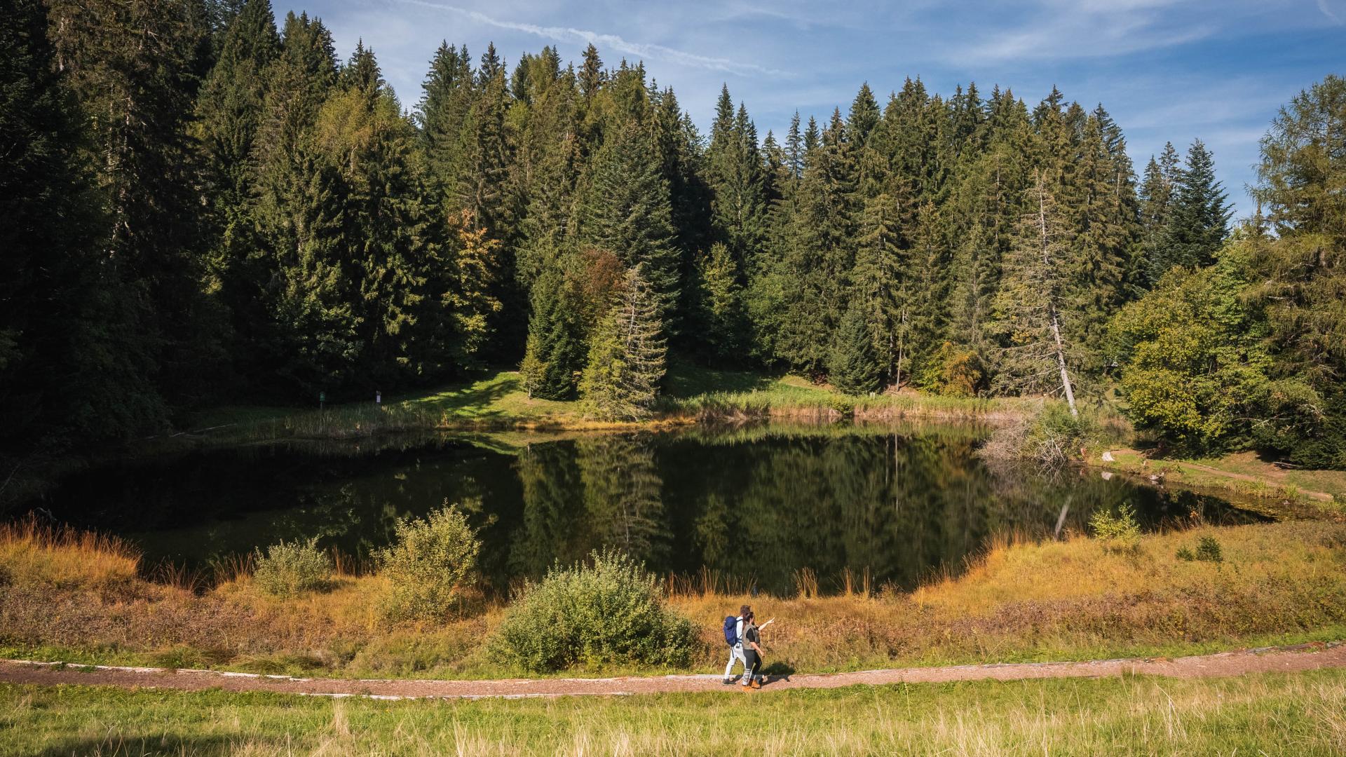





What if, as you wander along a forest path, you were to discover a place where nature, learning and imagination come together?
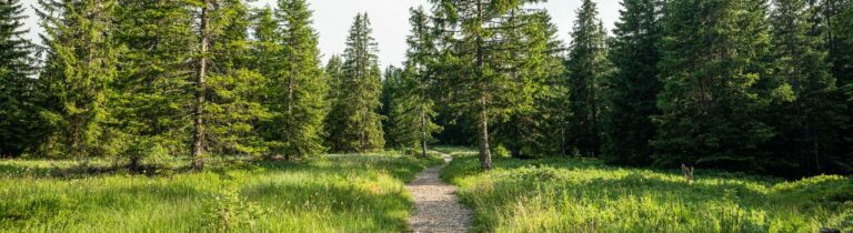
The ‘Kotze dou Éron’, or ‘Heron’s Corner’, is an educational trail located in Pont, in the municipality of Le Flon. Created in 2007 by volunteers, this forest path runs alongside the Maflon stream and aims to help visitors discover the region, raise environmental awareness and provide a place to relax.
Signs created by local schoolchildren showcase the local flora and fauna. The trail also features several areas: a forest learning area for outdoor education, a storytelling corner, an experiential zone by the water with equipment available, and a picnic area.
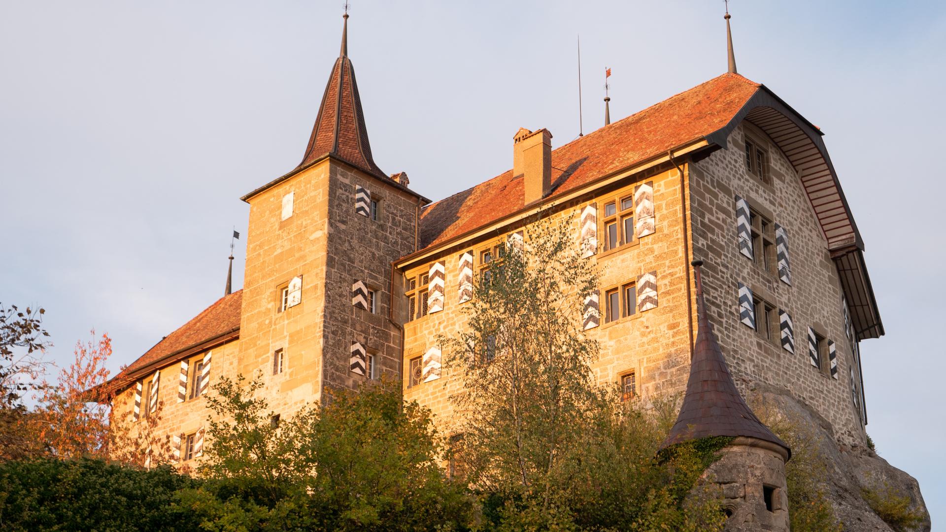
The site is constantly evolving, with archaeological excavations currently underway near an ancient castle. Linked to other trails such as the Fairy Trail, it is made possible thanks to various supporters, including the local council and several organisations, which have enabled its development and facilities.
Information
Commune Le Flon, Route de Moudon 19b, 1699, Porsel
Route de Moudon 19b
1699 Porsel
Access by car
Take the A9 motorway to the Lutry or Chexbres exit, then head towards Oron-la-Ville via Savigny or Puidoux and Forel respectively. Drive through the village and continue to Oron-le-Châtel, then turn left towards Chapelle-sur-Oron. About 1.5 km further on, in the village, continue left towards ‘École / Église’ (sign). A first car park is available after 500 metres, next to the school (Route du Verger 51). You can continue right onto Route des Indivis and then,
650 metres further on, turn left onto Route des Chapelettes to reach a second car park on the edge of the forest (GPS coordinates: 46.592348, 6.839321).
Access by public transport
The village of Chapelle (Glâne) is served by PostBus services departing from Palézieux station. Check the SBB timetable online to find the best connection. From the bus stop, walk north-west along Route du Verger. When you reach the school, follow the directions above until you reach the car park along Route des Chapelettes.
Properties of the itinerarie
Type of activity: Family
Difficulty: Easy
Duration: 01:45
Distance: 6 km
Ascent/Descent: +154m / -154m
Altitude min./max.: 729m / 803m
Itinerary type
- Loop itinerary
- Family hike
- Educational hike