


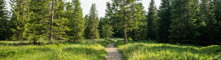
Attalens, the ideal terrain for walking more vigorously.
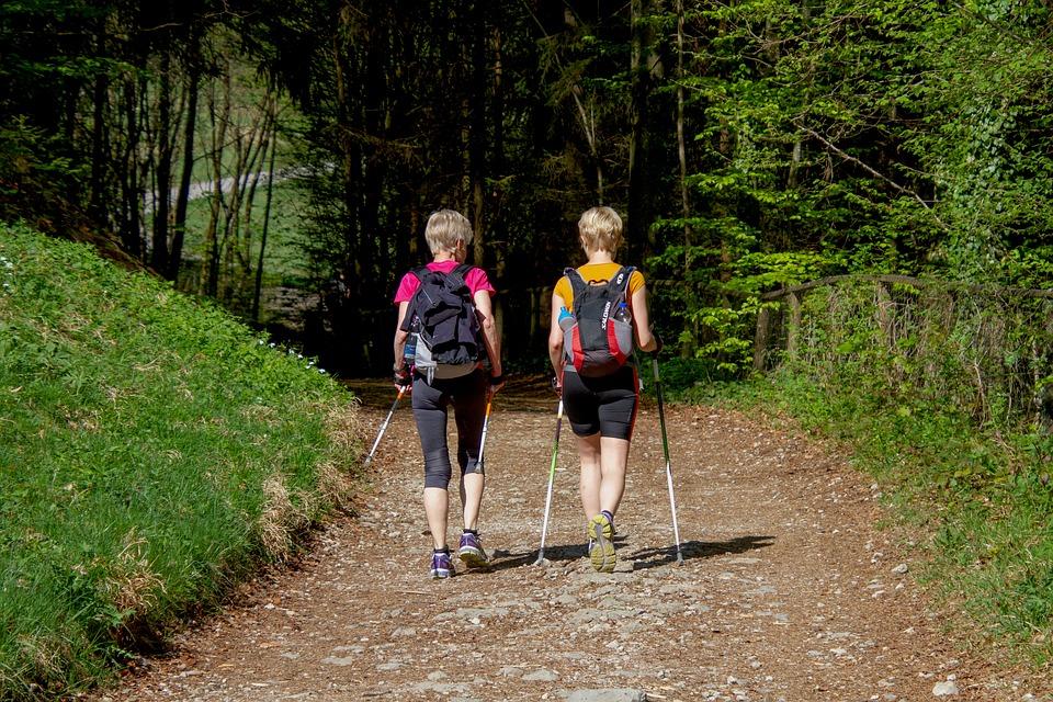
Discover Nordic walking in Attalens, a real playground for lovers of active walking and nature
Whether you’re a beginner or an experienced walker, a varied route awaits you, offering pleasant scenery and a trail that can be adapted to your pace and preferences.
One loop, several options
A main 13.2 km loop allows you to fully enjoy the surroundings of Attalens, with nature trails, sweeping views and moments of tranquillity in the heart of the countryside.
Fancy a shorter route? The loop offers two variations:
North Loop – 6.9 km: ideal for a dynamic and accessible outing
South Loop – 6.4 km: perfect for a more leisurely walk or for beginners
🚶♂️ An activity for everyone
Thanks to these different options, everyone can tailor their route to their fitness level, the time they have available or how they feel on the day. Whether on your own, with family or in a group, Nordic walking in Attalens is an excellent way to get active whilst enjoying a rejuvenating natural setting.
Grab your poles… and let yourself be carried away by the joy of walking!
Information
Les Paccots – La Veveyse Tourisme
1618 Châtel-St-Denis
- Start from the bus stop in the centre of Attalens village or from En Priolla (point 707 on the map).
- Walking or trail running shoes and Nordic walking poles recommended
- Clothing suitable for the weather
- Car parks available near the start
- Access by public transport according to regional timetables
Properties of the itinerarie
Type of activity: Sports
Difficulty: Easy
Duration: 03:20
Distance: 13 km
Ascent/Descent: +277m / -277m
Altitude min./max.: 699m / 790m
Itinerary type
- Loop itinerary
- Scenic hike