
This four-hour hiking trail from Les Paccots offers a magnificent panorama - between heaven and earth. The route offers breathtaking views of the Alps, pastures and slopes of the Fribourg Pre-Alps, while in the distance, the blue sky seems to be one with Lake Geneva.
From Les Paccots (1106 m a.s.l.), it's a half-hour's walk to Lac des Joncs and the inn of the same name (1230 m a.s.l.). This 5,000-year-old deep mountain lake is an important amphibian breeding ground and a popular destination. Rare plant and animal species have made it their protected habitat.
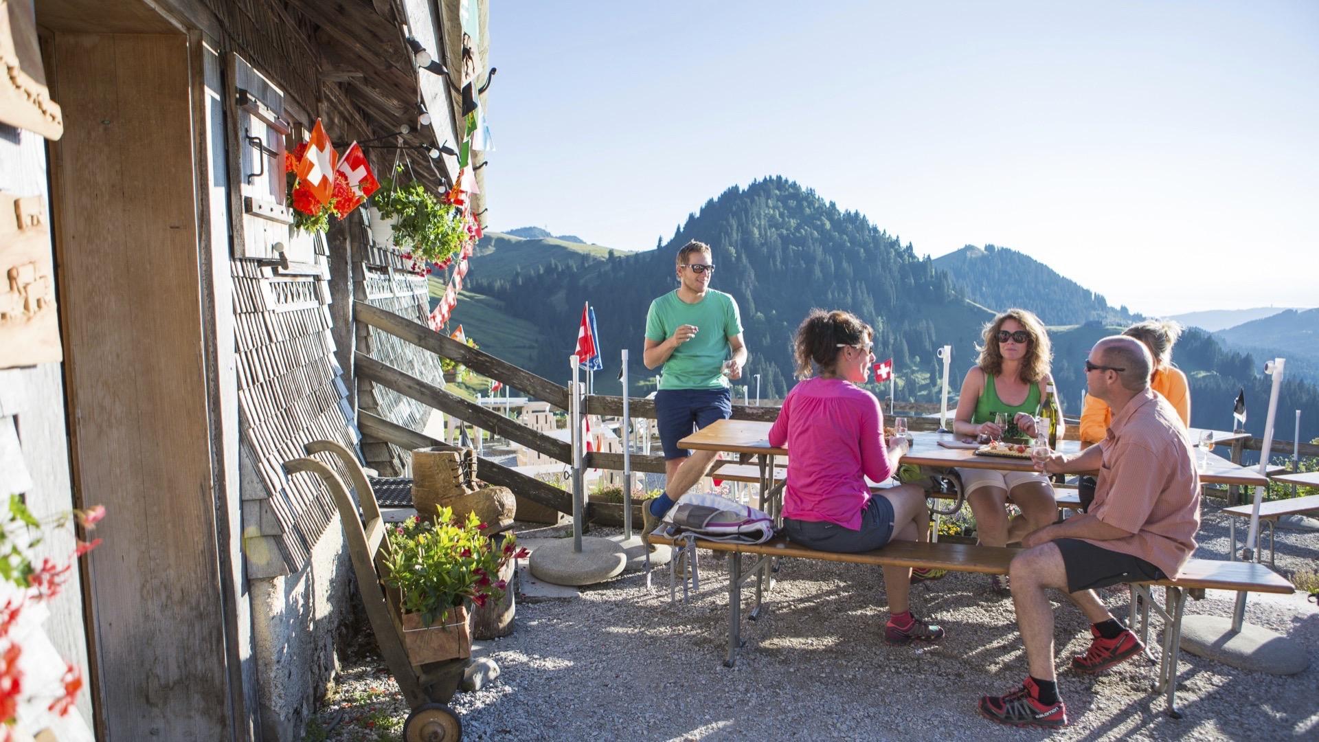
You'll then leave the cool of the forest to continue your escapade, with the Moléson summit in front of you, at the foot of the Dent de Lys to reach the shingle-covered mountain snack bar known as “La Saletta” (altitude 1499 m). You've now successfully completed your ascent, and can relax and contemplate the splendid panorama from the terrace. You can also indulge in the typical Fribourg alpine bar culture - in the company of local hikers - at the Buvette Le Vuipay, for example, which you'll reach after a half-hour walk. The return to the valley takes you through alpine pastures and forest paths.
Tip: try the gourmet trail.
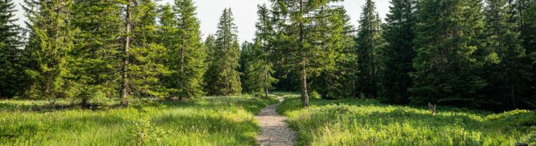
This is where the hike really begins. The tour continues with a beautiful climb through meadows and forest, taking in picture-postcard scenery, with Lake Geneva as the highlight. In the small Le Barlattey forest reserve, a plaque informs you about the ecological richness of the site. You can admire yellow and purple gentians along the way.


Properties of the itinerarie
Type of activity: Sports
Difficulty: Moderately difficult
Duration: 04:00
Distance: 13 km
Ascent/Descent: +637m / -637m
Altitude min./max.: 1108m / 1575m
Itinerary type
- Loop itinerary
- Scenic hike
- Hike to the summits