
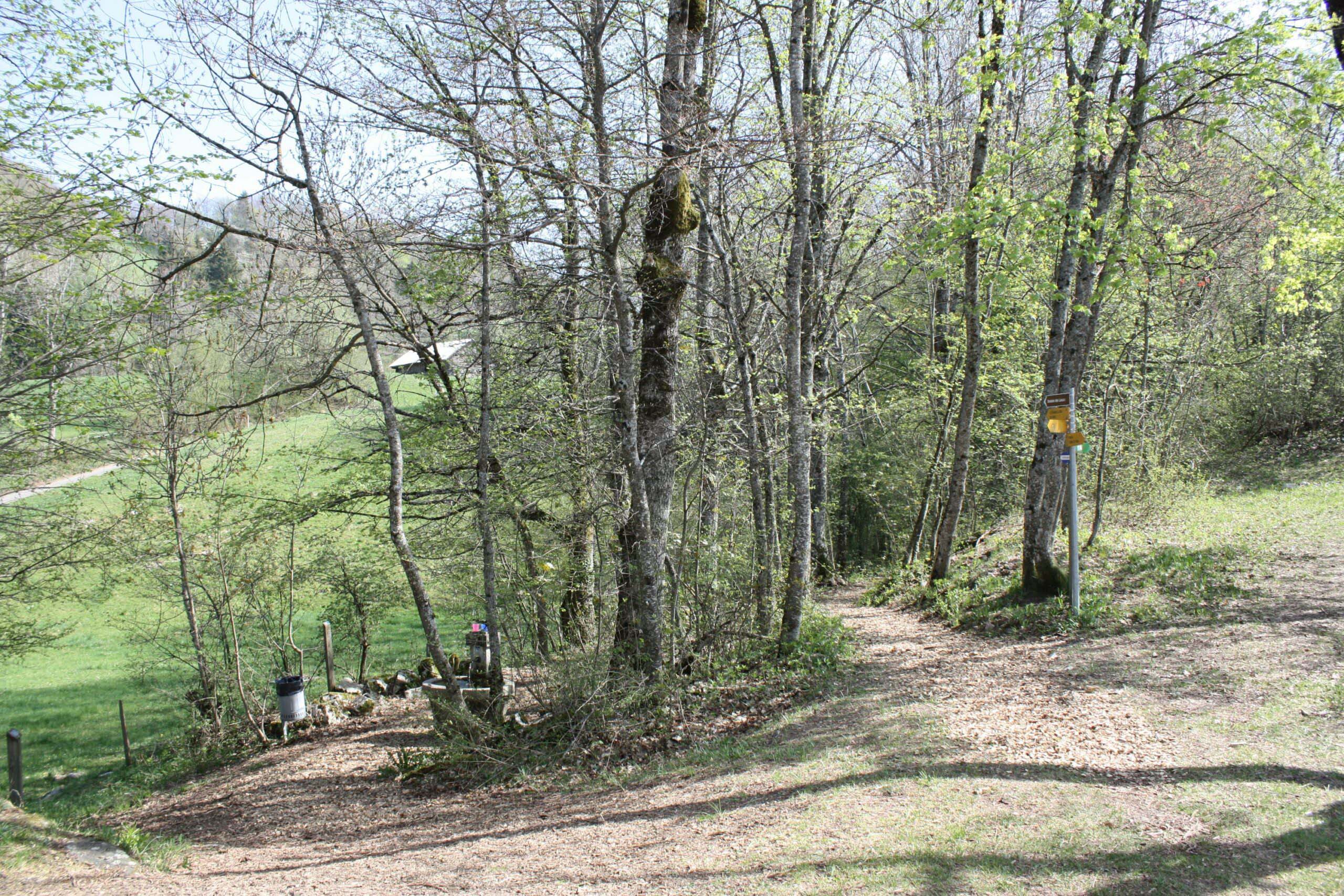
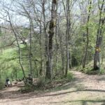
Make sport in the nature at the bottom of the mountains on our Vita trail.
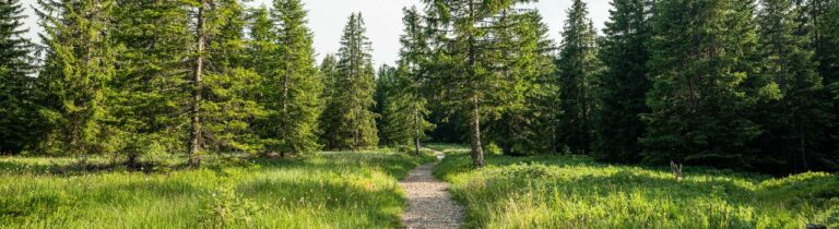
Exercising in the great outdoors
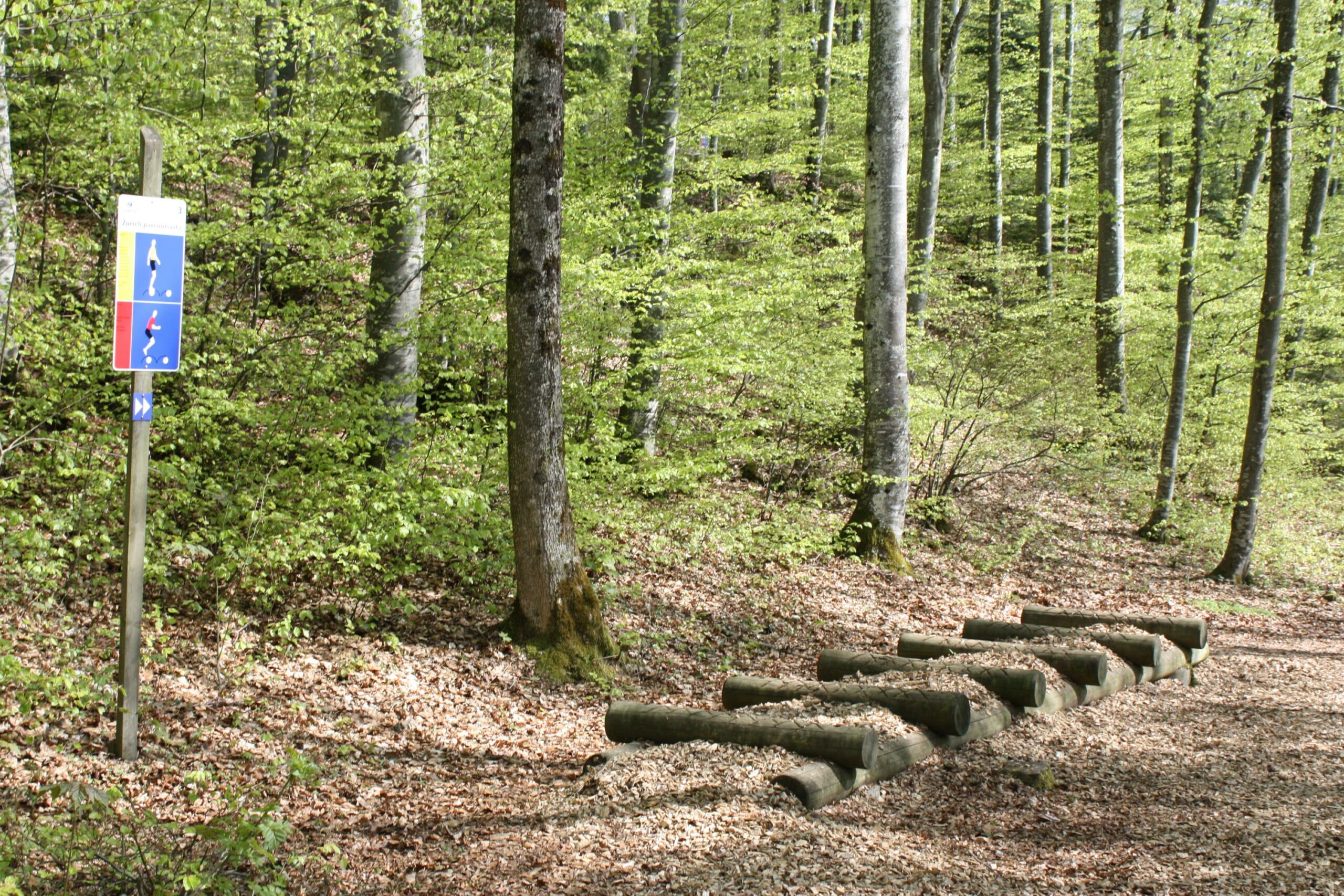
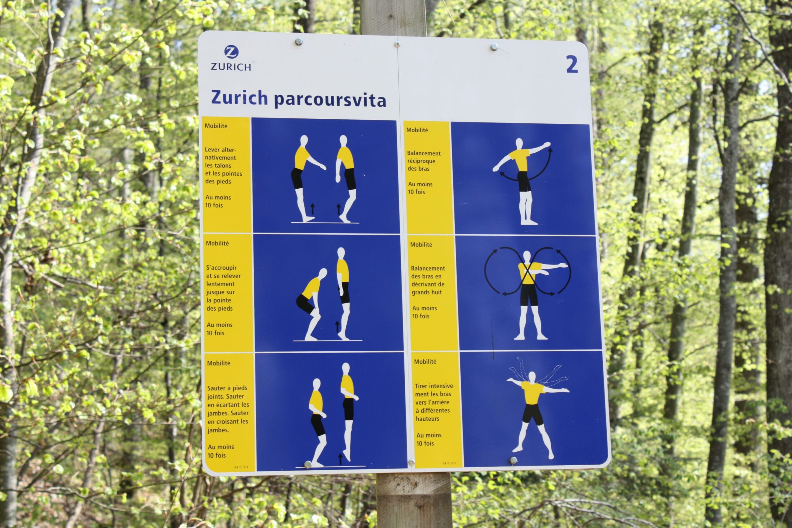
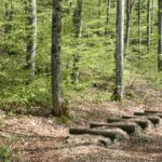
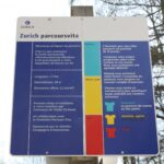
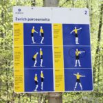
The Vita trail is the ideal place to keep fit whilst breathing in the fresh forest air. The various exercises allow you to work on your endurance, strength and flexibility in a fun and accessible way.
A rejuvenating escape
Amidst pine trees, shaded paths and a soothing atmosphere, every step along the trail offers a break from the daily grind. It is a place where you can reconnect with nature as much as with yourself.
For everyone
Whether you’re a regular exerciser, a family out for a day out or simply an active walker, the trail adapts to everyone. The stations can be used according to your preference and fitness level.
A simple and free activity
Open all year round, the Châtel-St-Denis Vita trail is an invitation to move freely, without constraints, to the rhythm of the forest.
Information
Les Paccots – La Veveyse Tourisme
1618 Châtel-St-Denis
- Departure: opposite the Le Bivouac campsite
- Access: all
- Parking: nearby with 50 spaces
- People with reduced mobility: The trail is not accessible to people with reduced mobility.
- Availability: all year round
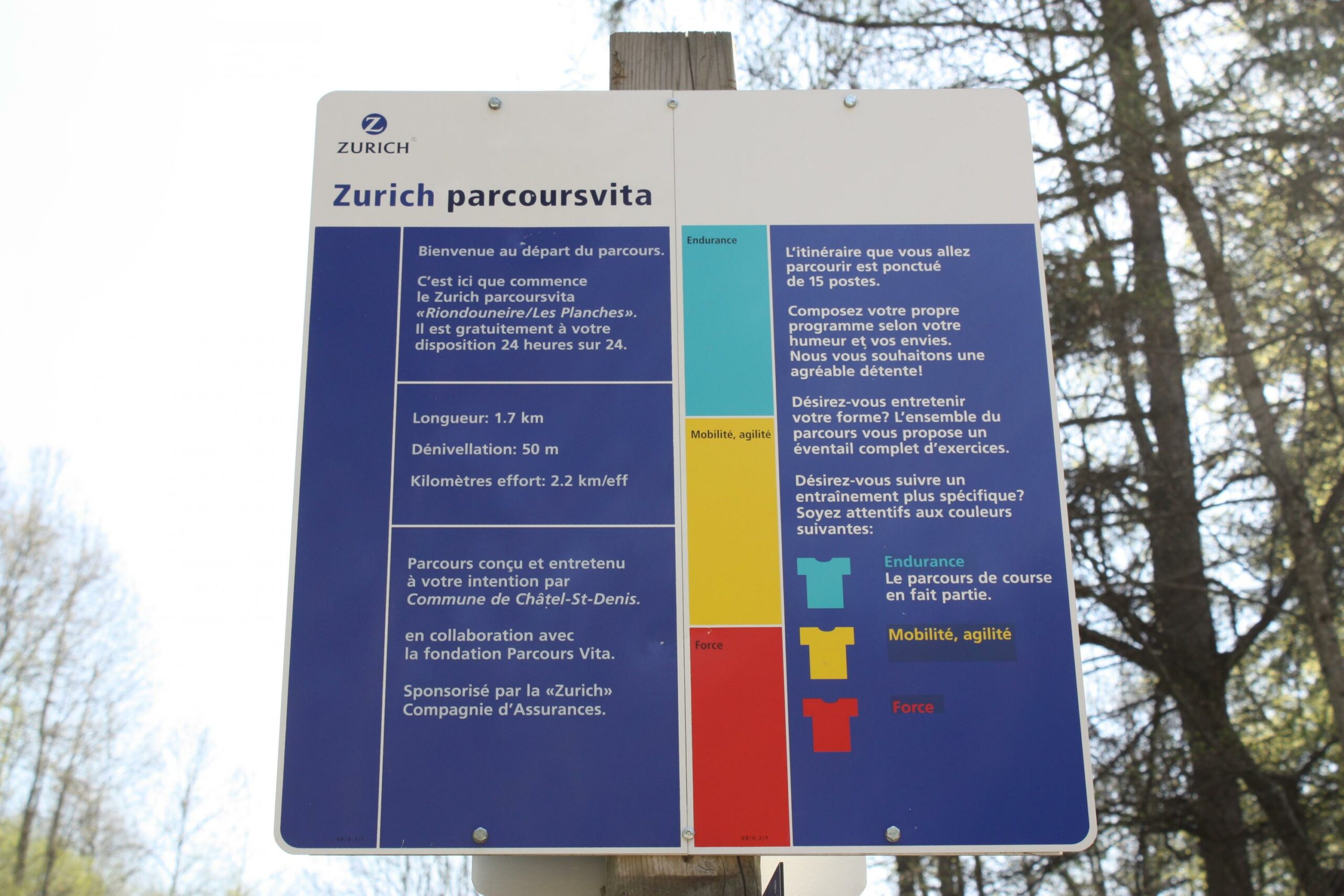
Properties of the itinerarie
Type of activity: Sports
Difficulty: Very easy
Duration: 00:50
Ascent/Descent: +68m / -68m
Altitude min./max.: 885m / 937m
Itinerary type
- Loop itinerary
- Family hike