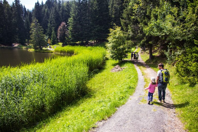

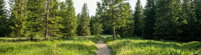
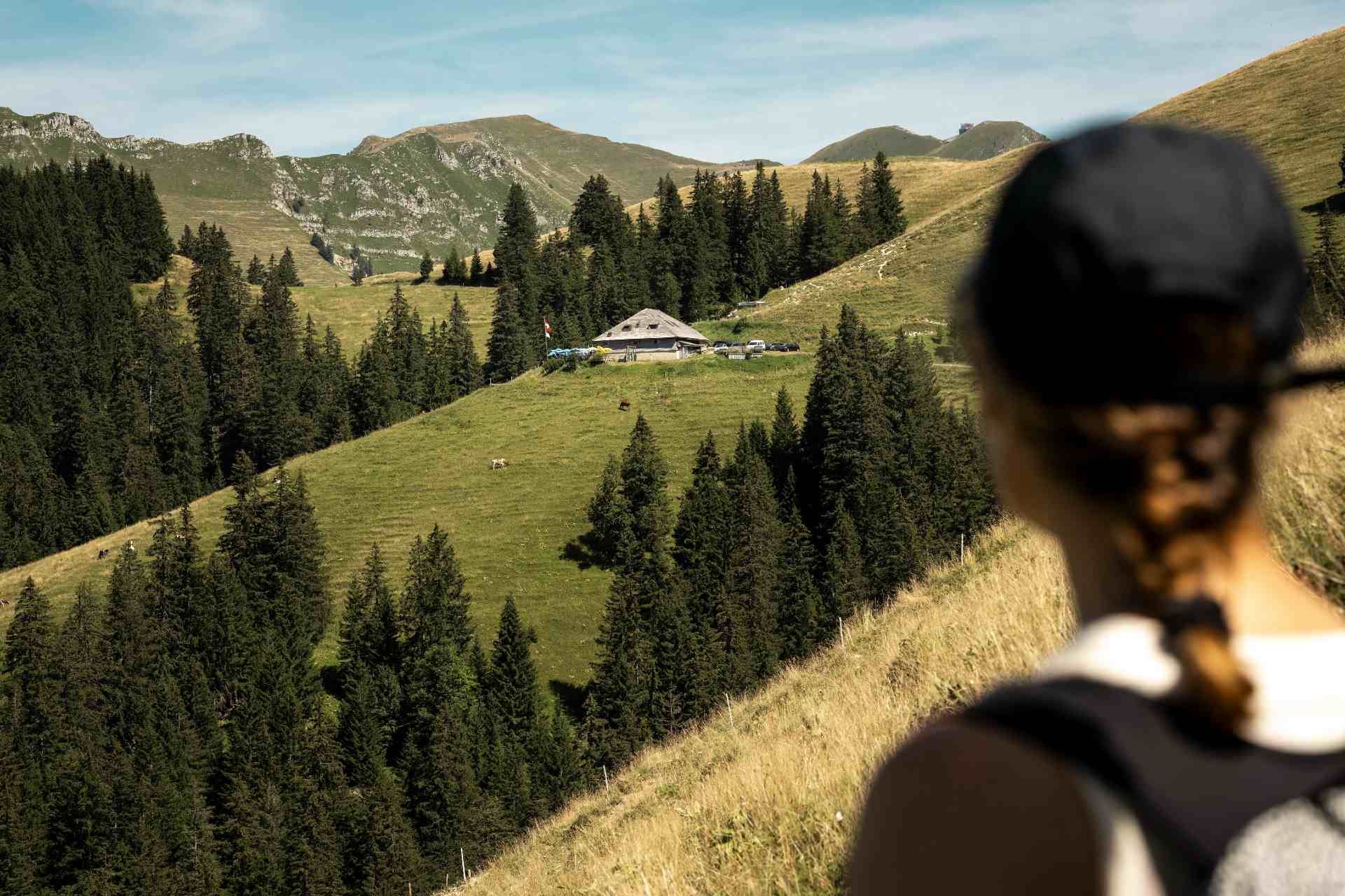
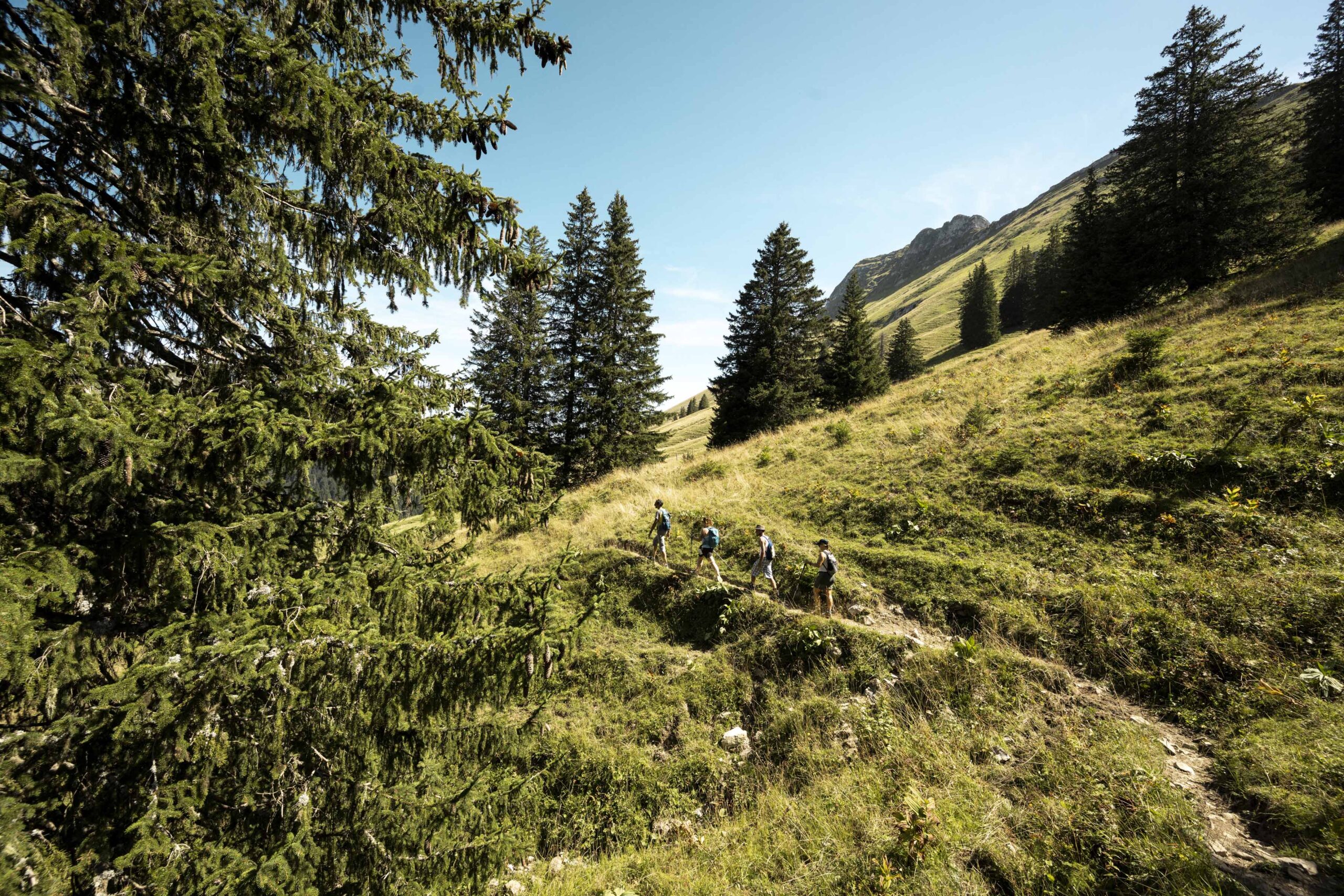
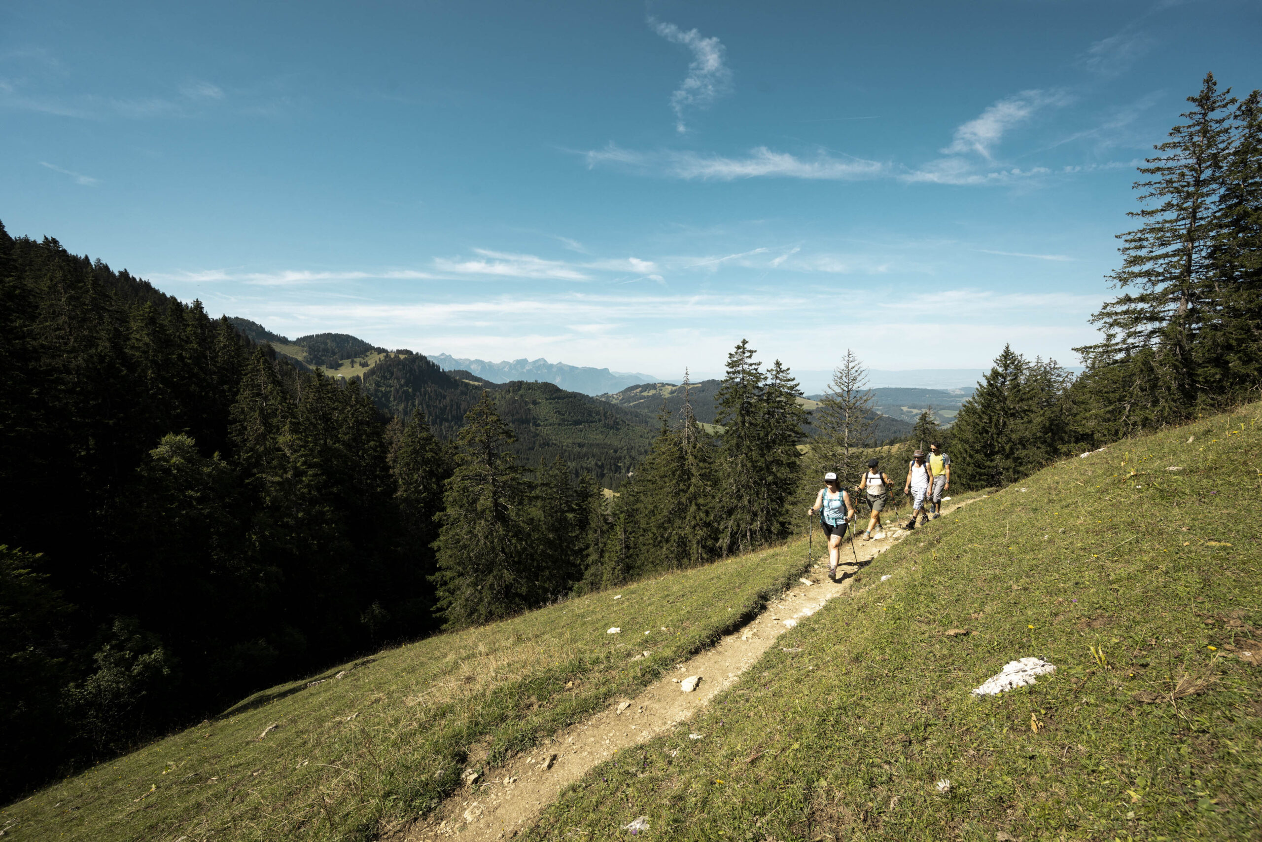
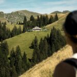
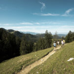
Onward to savor an authentically Fribourg menu! Nestled between 1000 meters and 1500 meters above sea level, this trail unveils a spectacular view of the Fribourg Pre-Alps and the Lake Geneva basin.
Hikers are warmly welcomed at two mountain restaurants and two alpine refreshment huts, offering well-deserved stops along the route.
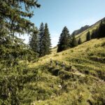
The walk, which takes a total of 4 hours and 30 minutes excluding breaks, covers a distance of 13.7 km.
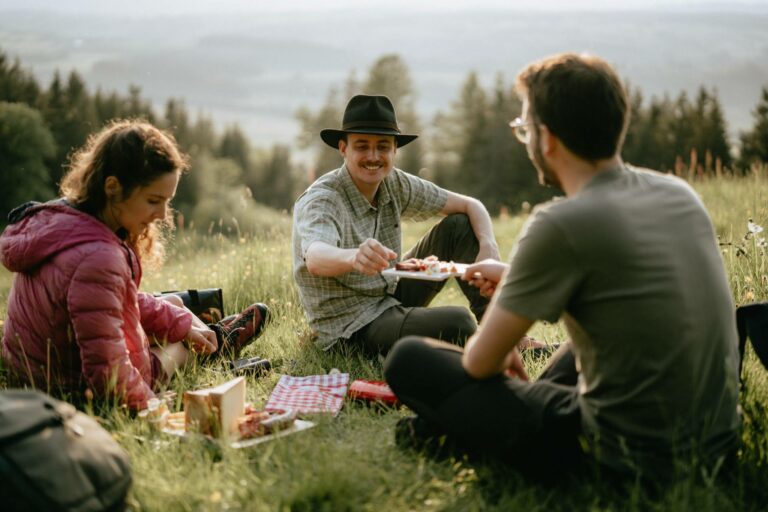
The culinary stops include:
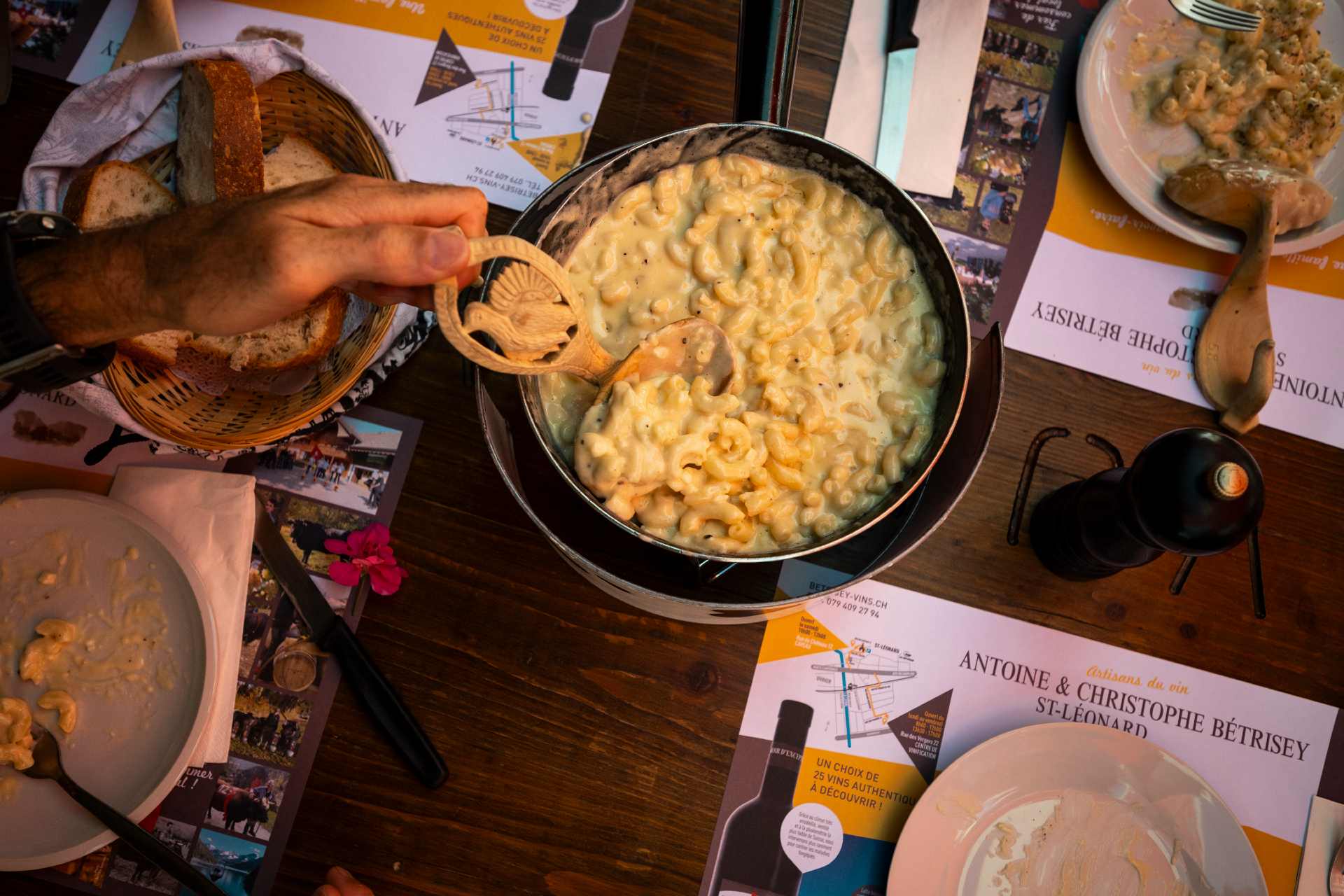
- Buvette du Vuipay: Local speciality platter
- Buvette de Saletta: Soupe de chalet (half portion)
- Auberge des Joncs: Vacherin cheese tart
- Restaurant des Rosalys: Vin cuit ice cream
Validity:
- 12 June to 27 September, Friday to Sunday.
- 14 July and 18 August, Tuesday & Friday to Sunday.
- 15 July to 15 August, Tuesday, Wednesday & Friday to Sunday
Departure:
9.00 am from the Rosalys car park (opposite the bus stop)
Individual price
| Adults | 62.- CHF |
| Children (up to and including age 12) | 47.- CHF |
Reservation
Les Paccots – La Veveyse Tourisme
1618 Châtel-St-Denis
The concept of Gourmet Trails:
- Packages are available at the Tourist Office, requiring advance reservation.
- Reservations must be made at least 48 hours in advance (due to weekly restaurant closures).
- The Panoramic Trail welcomes groups of up to 8 people per day.
- Drinks are not included in the rates.
- Table selection is not possible, even during reservations.
Access is possible by public transport (nearest stop: Les Paccots, Les Rosalys) and by car. Please remember to bring cash, as there is no ATM in Les Paccots.


Book online now!
Properties of the itinerarie
Type of activity: Sports
Difficulty: Challenging
Duration: 04:20
Distance: 13 km
Ascent/Descent: +745m / -747m
Altitude min./max.: 1107m / 1577m
Itinerary type
- Loop itinerary
- Scenic hike
- Hike to the summits