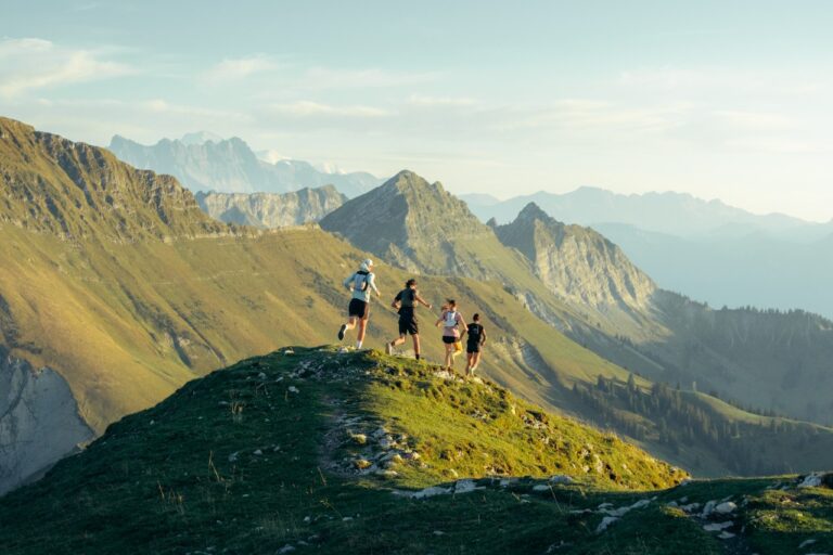


‘Between alpine meadows, forests and breathtaking panoramas, this trail invites you to combine effort and wonder at every step.’
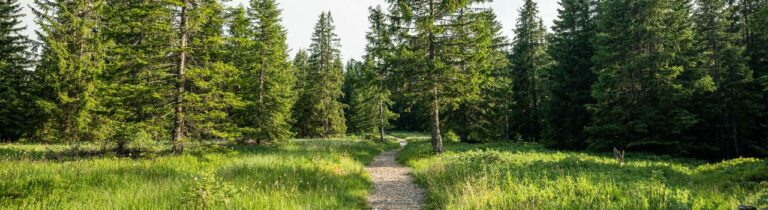
Begin your trail adventure at Les Paccots station. Follow the marked trail that will take you through alpine meadows and dense forests. From the very first kilometres, the gradual climb will make you feel the effort while offering you splendid views of the surrounding valleys.
1. Corbetta summit: When you reach the summit of Corbetta (1,401 metres above sea level), you will be rewarded with a breathtaking panoramic view. Take the time to admire the landscape, with majestic mountains and sparkling lakes in the background. This highest point of the route is ideal for a well-deserved break and to recharge your batteries before continuing.
2. Towards Le Pralet: Descending from the summit, follow the path that leads you to Le Pralet. Enjoy the moments when the trail becomes gentler to appreciate the tranquillity of the surroundings.
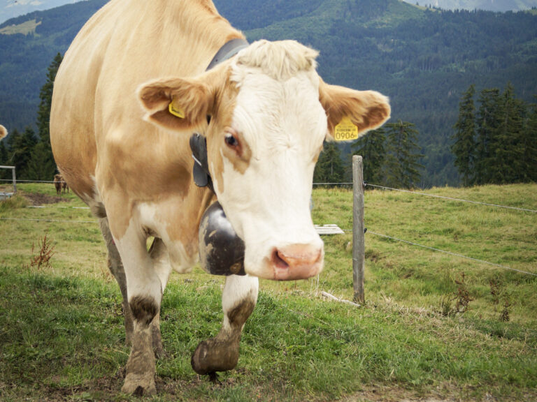
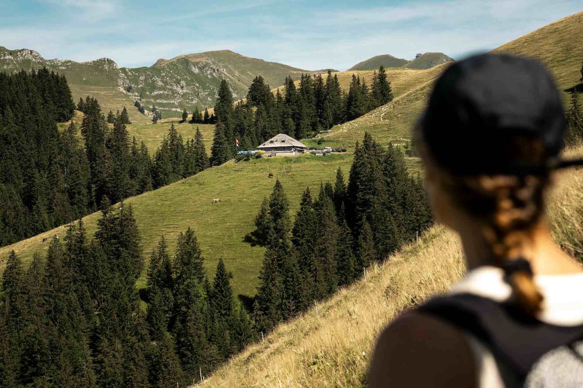
3. Paccots Dessus: After passing Le Pralet, head towards Paccots Dessus, a picturesque region with traditional chalets and green pastures. The route features moderate ascents and descents, offering a good balance between effort and recovery. Along the way, you will pass near La Saletta, where you can stop for a refreshing break.
Return to Les Paccots: To conclude your journey, take the trail that will bring you back to your starting point in Les Paccots.
- Equipment: Wear trail shoes with good grip and bring a windbreaker, as conditions can change quickly in the mountains.
- Hydration and Nutrition: Bring enough water and energy snacks to maintain your energy levels throughout the hike.
- Safety: Inform someone of your itinerary and estimated time of return. A charged mobile phone is essential in case of emergency.
- Respect for Nature: Follow marked trails, leave no trace of your passage, and respect the local flora and fauna.
Properties of the itinerarie
Type of activity: Sports
Difficulty: Moderately difficult
Duration: 02:30
Distance: 17 km
Ascent/Descent: +879m / -879m
Altitude min./max.: 1063m / 1572m
Itinerary type
- Loop itinerary
- Scenic hike
- Hike to the summits