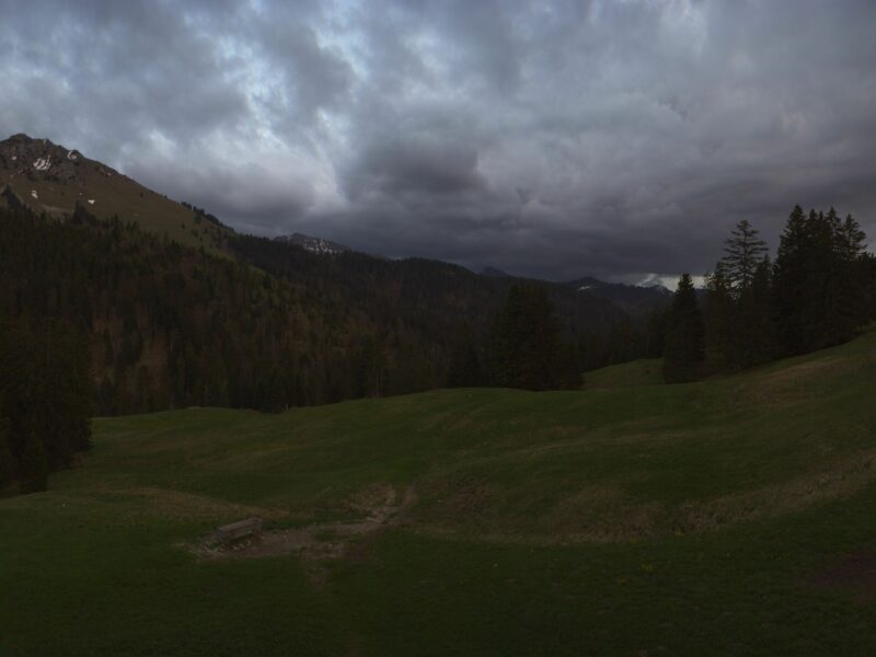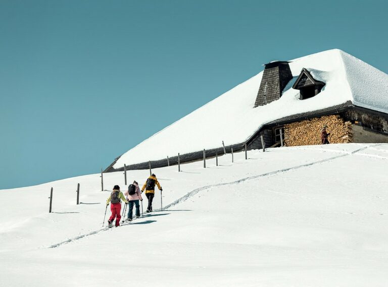


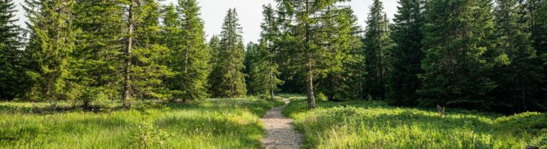
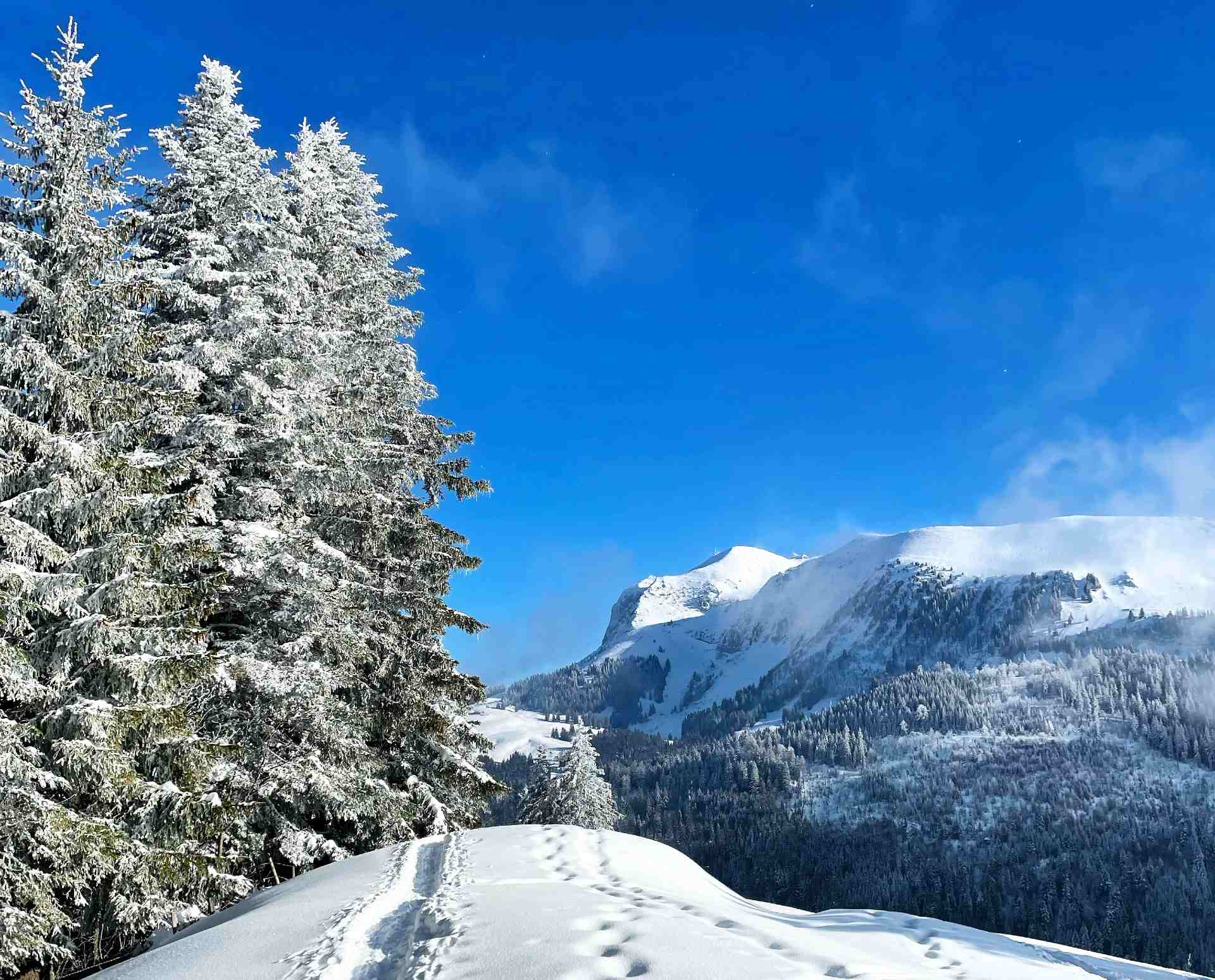
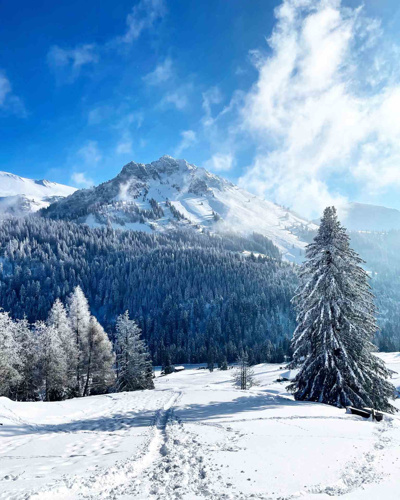
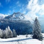
Walking up to the summit of the Niremont in snowshoes will reward you with an unforgettable panoramic view, from Mont-Blanc to Moléson, via the Jura, Lake Geneva and Lake Neuchâtel. A charming walk in a protected natural area.
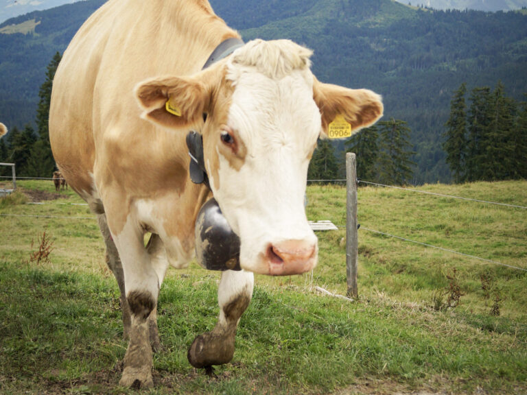
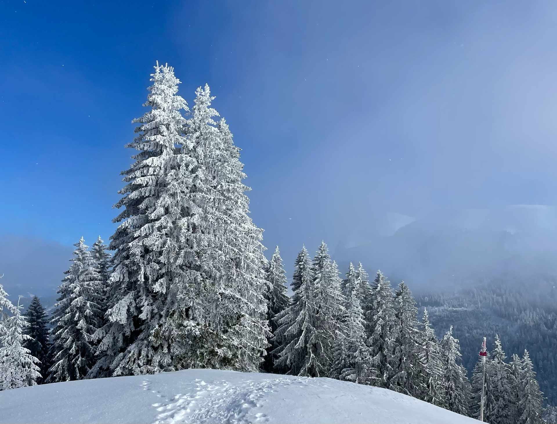
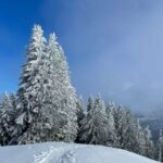
From the Pueys parking lot, cross the road to start the ascent through fields and fir trees, past the Chalet des Errouvines, then along a ridge leading to the Niremont plateau, a popular moonscape for snowkaters. At the Croix du Niremont, enjoy spectacular views from the Jura to Mont-Blanc, before retracing your steps. Descend from the Chalet du Gros Niremont to the ski resort of Rathvel, where you'll find La Cabane du Petit Oiseau, open daily in winter to sample local produce.
The SuisseMobile itinerary: 265 guides you through an initial flat section, followed by a final descent to the Casa Derrey mountain pasture to return to Les Pueys.
Please stay on the snowshoe trails and avoid the ski slopes, reserved exclusively for skiers and snowboarders. Thank you for your understanding.
Information
Point Info Les Paccots, Rte des Paccots 215, 1619, Les Paccots
Rte des Paccots 215
1619 Les Paccots
Reservation
Cabane du Petit Oiseau
Route du Moléson
1618 Châtel-St-Denis
In case of limited snow cover or towards the end of the season, the route remains accessible with proper footwear and trekking poles.
Properties of the itinerarie
Type of activity: Sports
Difficulty: Challenging
Duration: 04:23
Distance: 8 km
Ascent/Descent: +505m / -505m
Altitude min./max.: 1125m / 1513m
Itinerary type
- Loop itinerary
- Scenic hike
- Hike to the summits