2026 IIHF Ice Hockey World Championship


Enter the dragon’s lair, in a valley full of legends, following a river that tells the story of part of the industrial past of the town of Fribourg and the surrounding area.
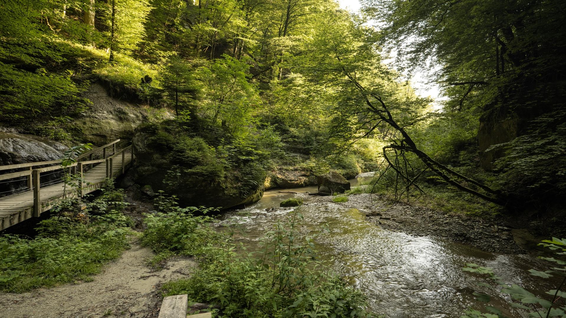
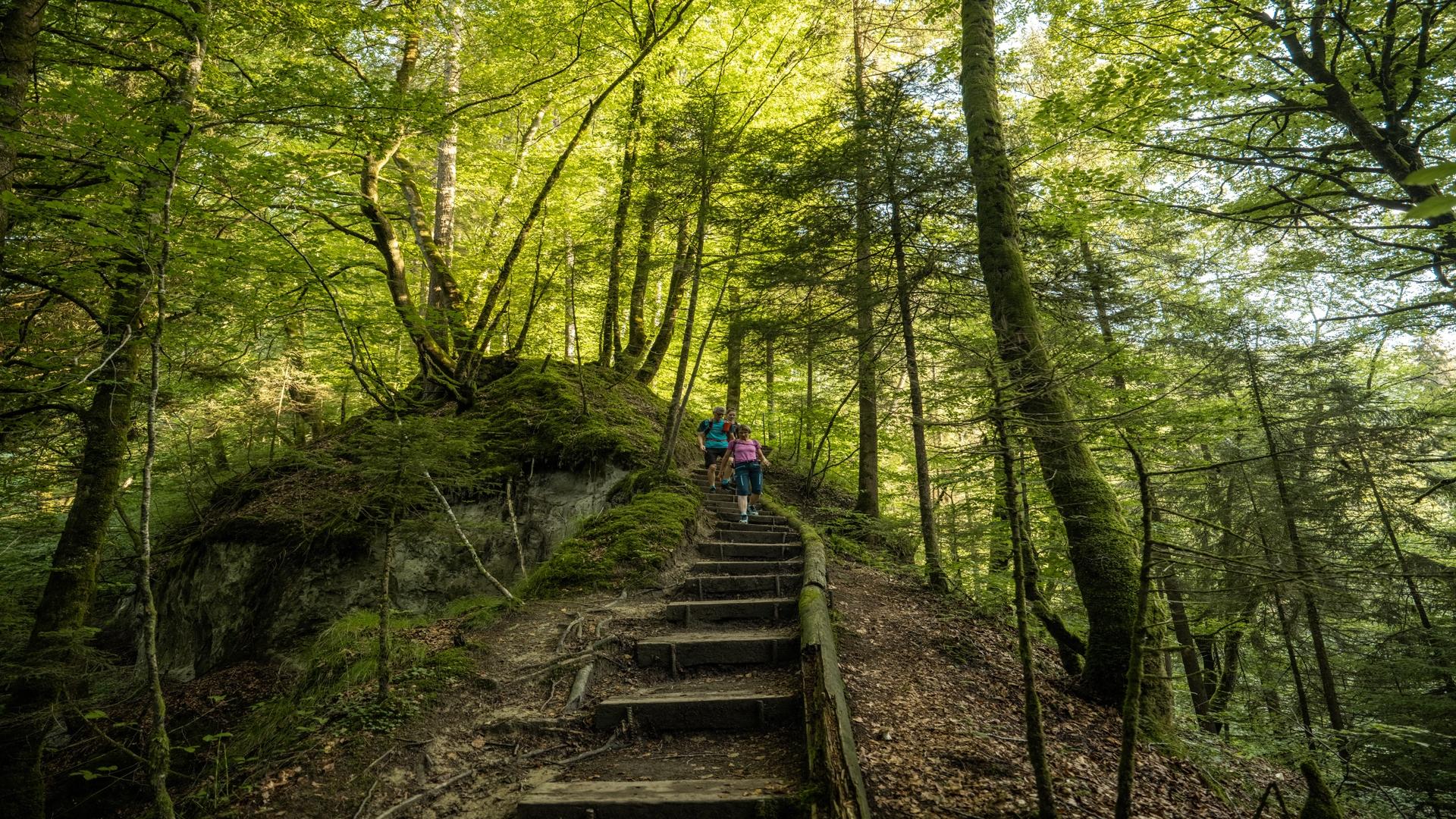
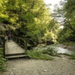
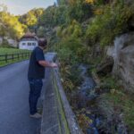
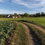
The Gottéron valley, whose dark side was so greatly feared in the Middle Ages – legend had it that a dragon lived there – was home to both blacksmiths and millers. Located just outside the town, on the right bank, it was an ideal spot where noisy activities or ones that needed to be close to a river could be carried out without inconveniencing the neighbourhood. It was in this same valley that the young people of the Old Town founded Fribourg’s first hockey club.
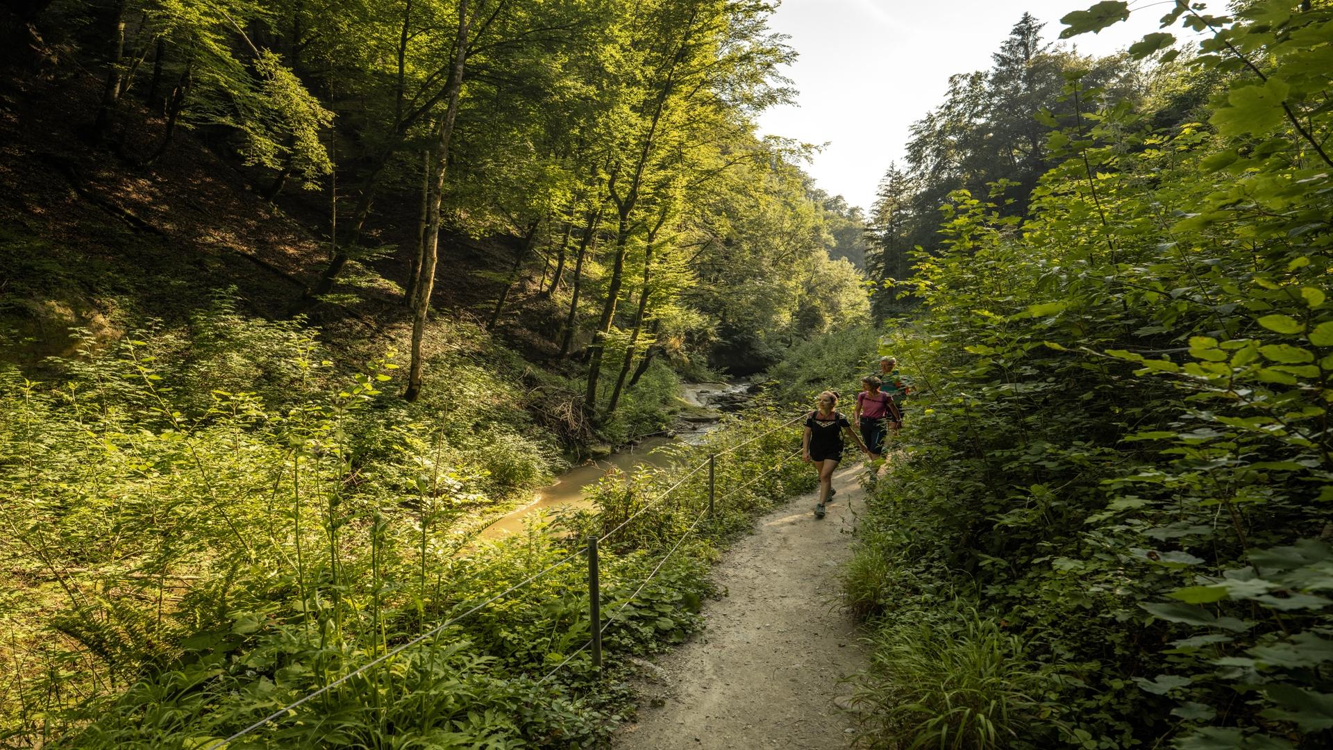
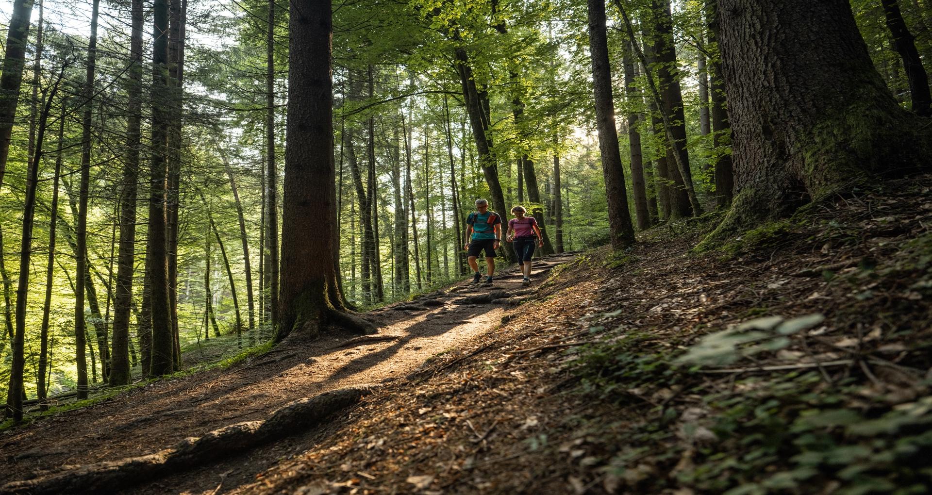
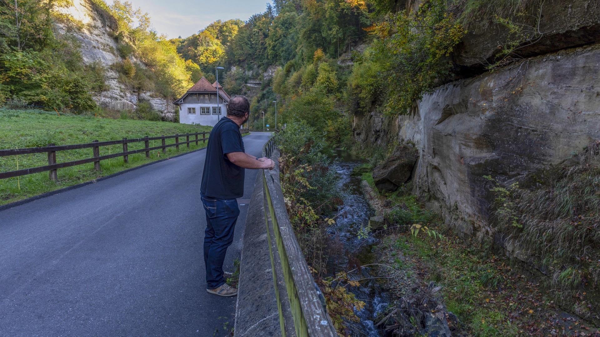
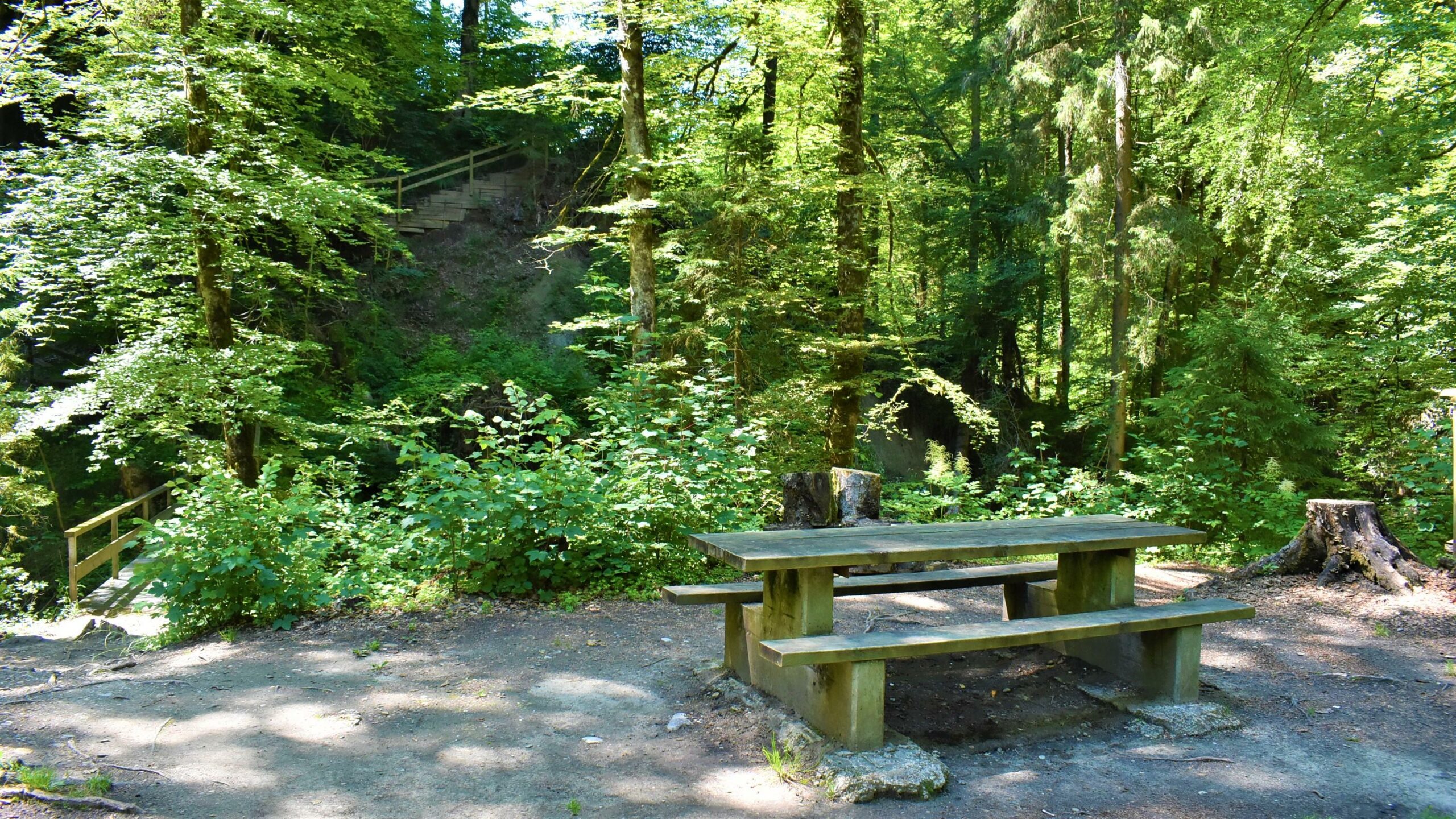
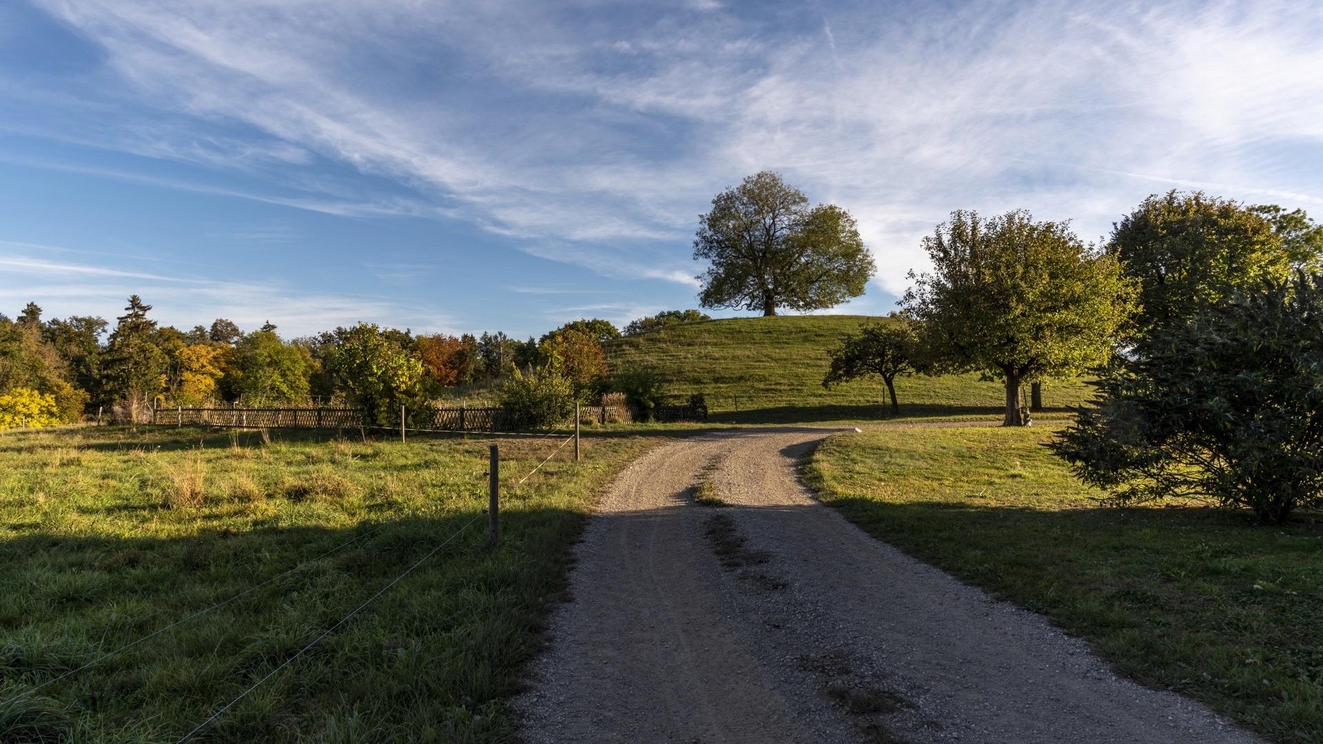
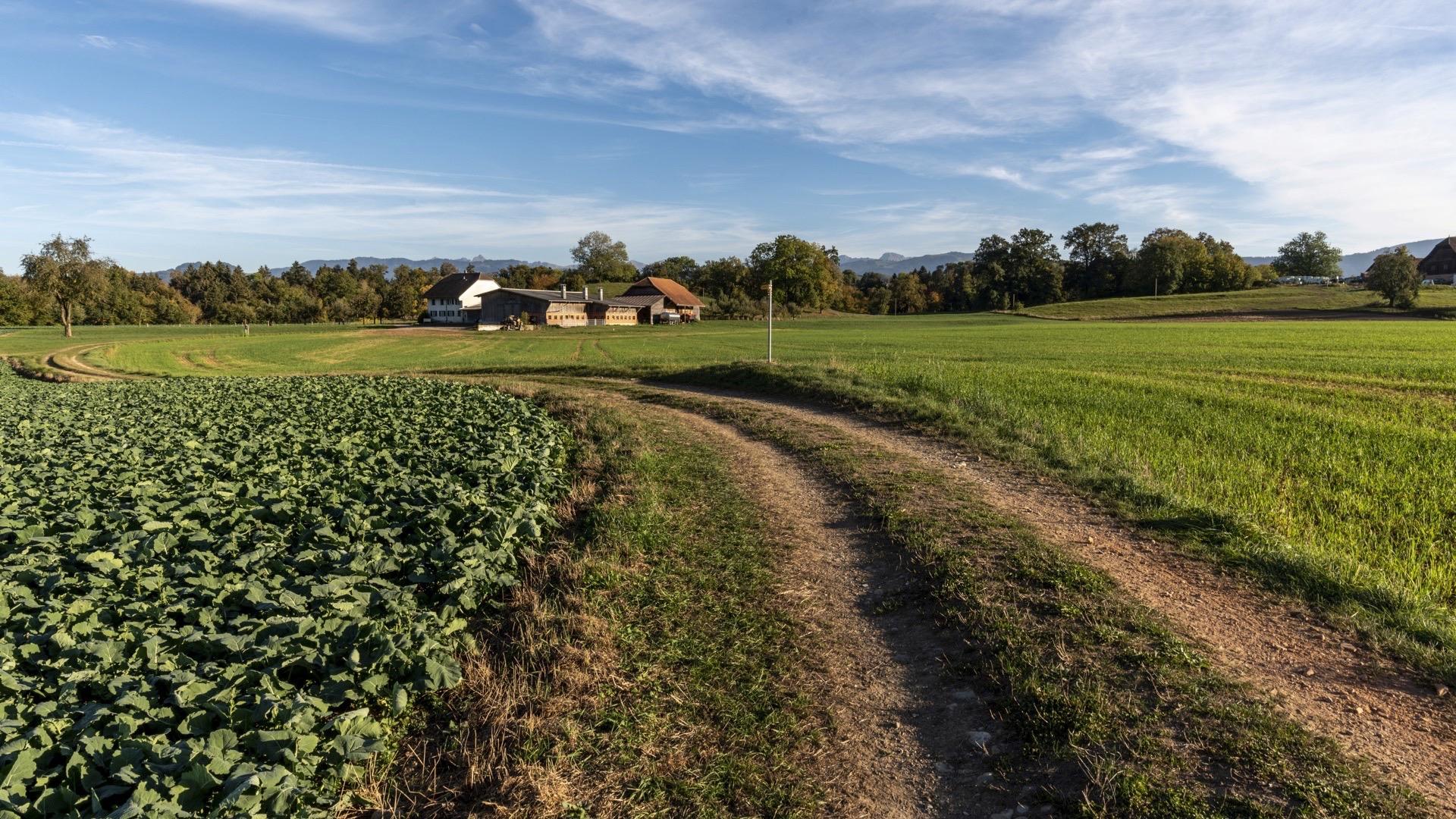
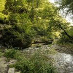
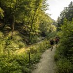
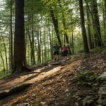
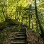
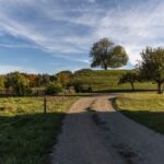
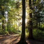
This circular walk starts on the Place du Petit-Saint-Jean. Cross the Bern bridge, which was built in 1250 and has been regularly renovated since then. Carry on along the rue des Forgerons and pass the ramparts. From there, the path runs along the river through a wooded gorge. If you are lucky, you may spot the chamois who have settled on the molasse cliffs. Once you reach the old Ameismühle mill, walk back up to the Schürmatt farm, which stands on an open plateau. The path continues through fields and forests. In Bourguillon, follow the cantonal road for a few hundred metres, then reach the footpath close to the mediaeval tower. At the Auberge de l’Ange, cross the Bern bridge again to return to your starting point.
Tip: extend the route by going to La Lorette (Pt 653) from Bourguillon and heading back down to the Planche supérieure square via Montorge. This will offer you a lovely view over the town of Fribourg and its cathedral.
Information
Fribourg Tourisme et Région
Place Jean-Tinguely 1
Case postale 448
1700 Fribourg
Information
Gemeindeverwaltung Tafers, Schwarzseestrasse 5, 1712, Tafers
Schwarzseestrasse 5
1712 Tafers
Gotteron Gorge open or closed? Information on website of the Tafers commune under Aktuelles/News (no indication means the Valley is open always at your own risk)
Accessible by public transport: yes
Accessible by car: yes, parking in Tafers and in Fribourg


Properties of the itinerarie
Type of activity: Sports
Difficulty: Moderately difficult
Duration: 02:30
Distance: 9 km
Ascent/Descent: +401m / -402m
Altitude min./max.: 536m / 718m