
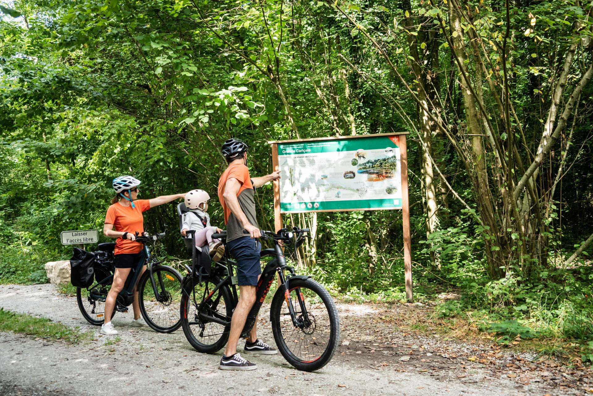
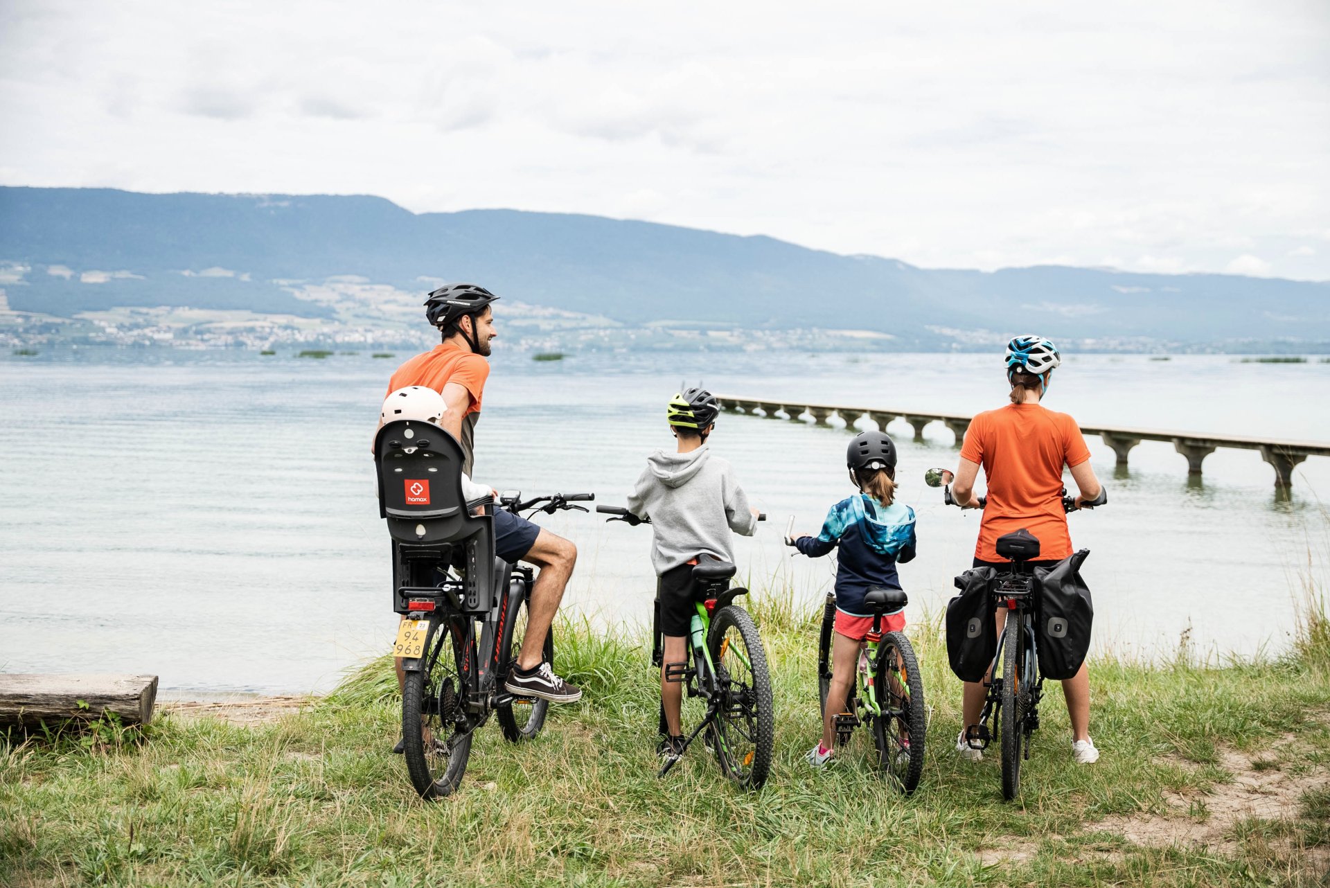
The Grande Cariçaie nature reserve offers an ideal setting for exploring by bike. The route runs along the south shore of Lake Neuchâtel, starting from Cheyres or Portalban, either as a one-way trip or a round trip, right through Switzerland’s largest reed bed and its preserved landscapes.
The Grande Cariçaie, the largest lakeside marshland in the country, is known for its remarkable biodiversity. The itinerary passes through a succession of reed beds, wet meadows and alluvial forests, home to more than 800 plant species and nearly 300 animal species.
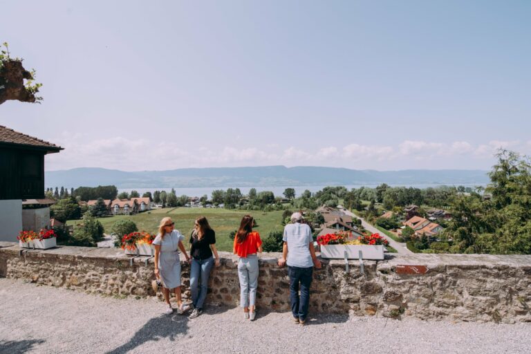
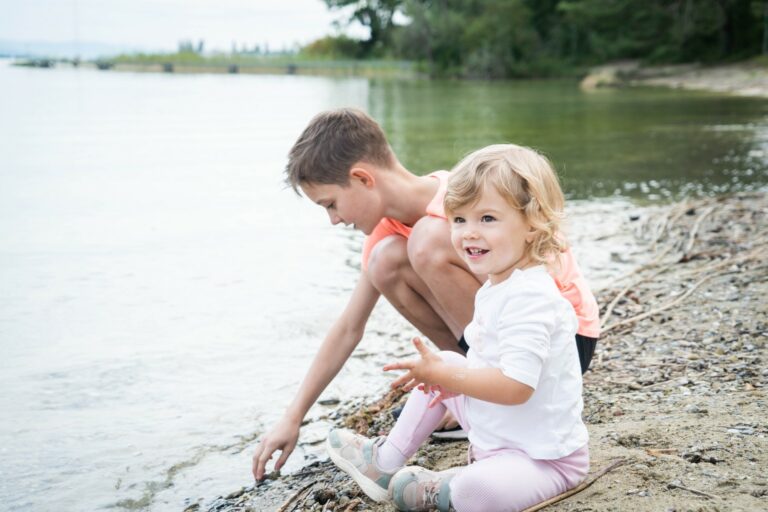
In summer, the view regularly opens onto the natural beaches and small coves of Lake Neuchâtel, offering perfect spots for a refreshing swim break.
Information
Estavayer-le-Lac Région
Place des Bastians 1
1470 Estavayer-le-Lac
- Starting point: Cheyres or Portalban
- Public transport access: Cheyres train station or Portalban “Village” bus stop
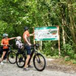
- Points of interest: birdwatching hides, natural beaches, protected areas
- Best season: spring to autumn
- Recommendations: respect protected areas, stay on signposted paths, bring water in summer


Properties of the itinerarie
Type of activity: Family
Difficulty: Easy
Duration: 01:36
Distance: 19 km
Ascent/Descent: +141m / -140m
Altitude min./max.: 430m / 487m
Itinerary type
- Along the water