
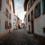
Estavayer-le-Lac Region offers an itinerary where heritage and contemporary creation meet on an artistic journey.
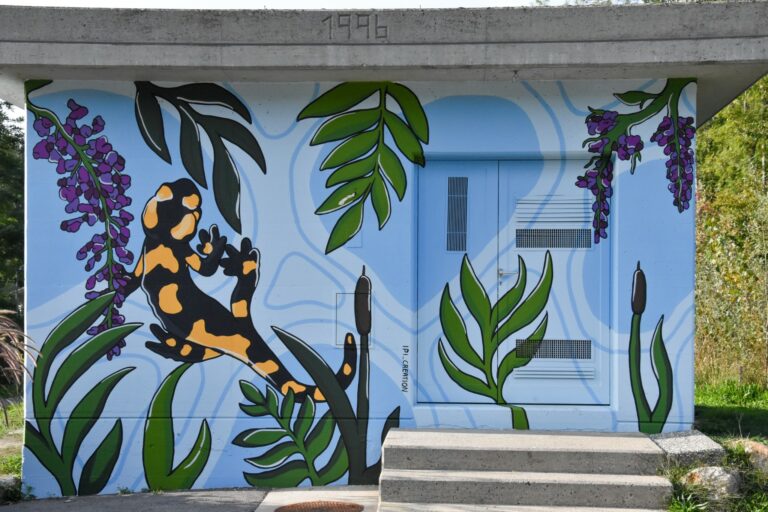
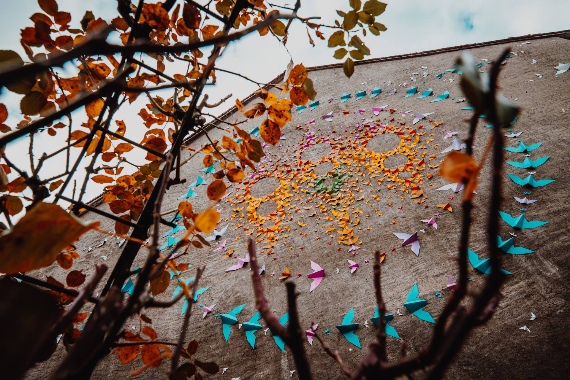
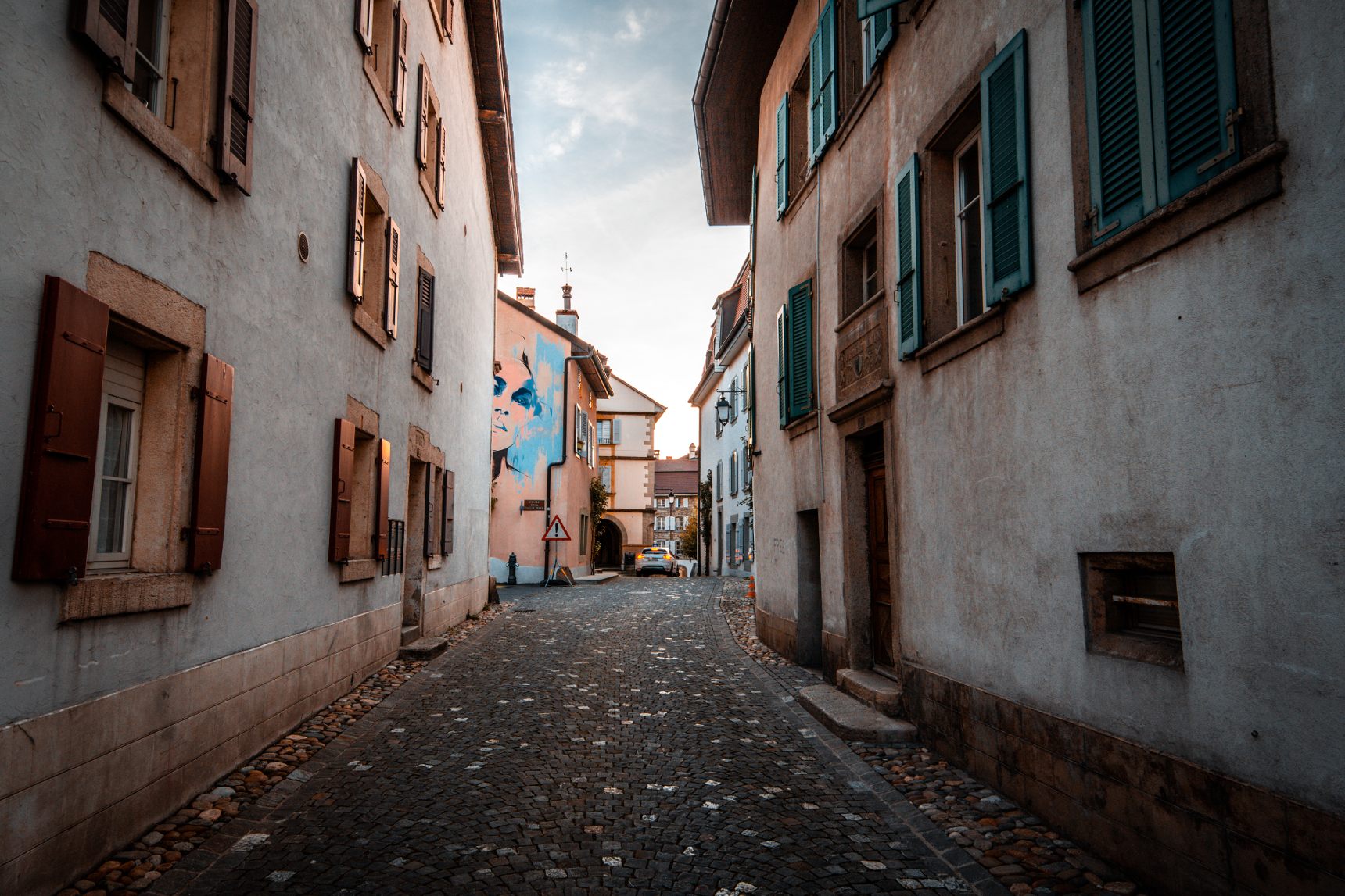
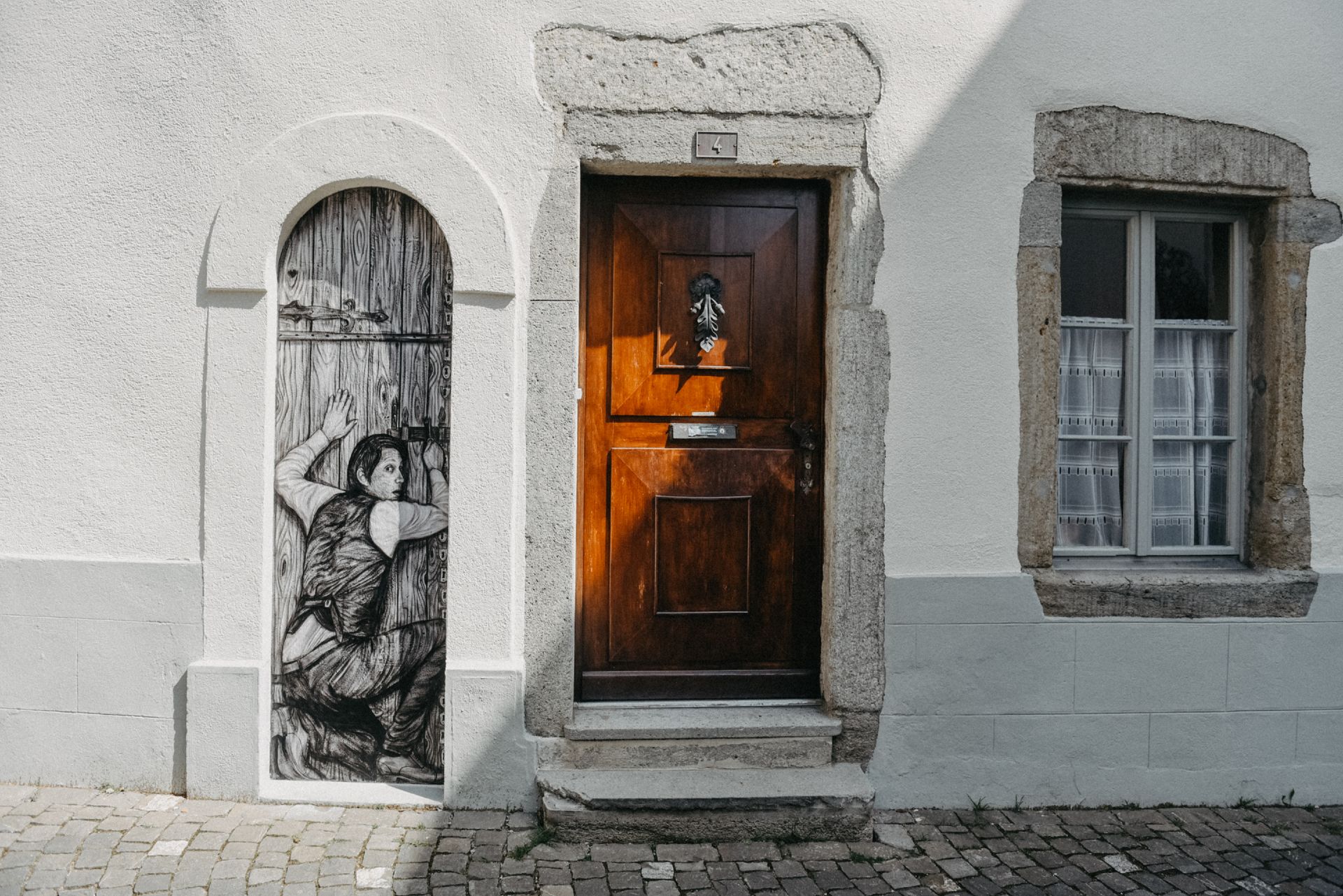
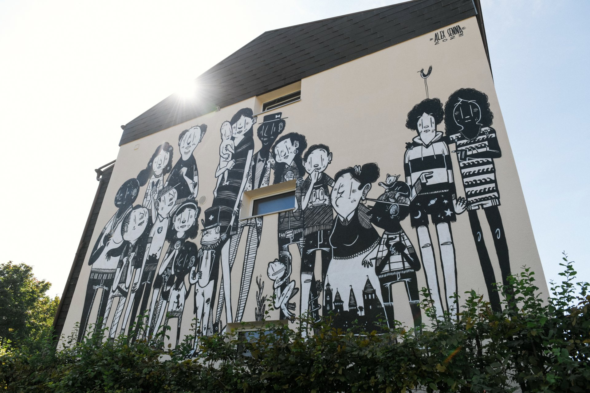
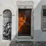
In the heart of the medieval city, this tour invites walkers to discover a selection of works from the ArtiChoke urban art route, which punctuates the city with creative and unexpected touches.
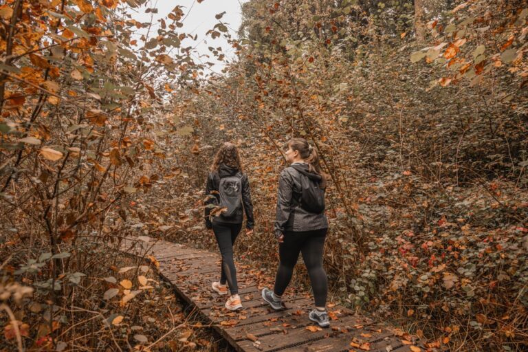
As you stroll through cobbled streets, historic facades and shady squares, art pops up where you least expect it. Each work is accompanied by a panel with a QR code, giving access to further information on the artists' approach and the significance of their creations.
This route, accessible to all, transforms a visit to Estavayer-le-Lac into a veritable open-air cultural exploration. It reveals a bold, contemporary face of the town, while respecting its rich heritage. It's an inspiring walk through history, modernity and art.
- Locations: Estavayer-le-Lac, Cheyres and Gletterens.
- Access and travel : Free trail, accessible all year round.
Accessible by car (car parks available) and public transport.
Visit on foot or by bike. - Brochure: Available from the Tourist Office and for download.
- Guided tours: On request using the form below.

Properties of the itinerarie
Difficulty: Very easy
Duration: 01:00
Distance: 3 km
Ascent/Descent: +52m / -52m
Altitude min./max.: 432m / 477m
Itinerary type
- Loop itinerary
- Scenic hike
- Family hike
- Educational hike
- Through the centuries