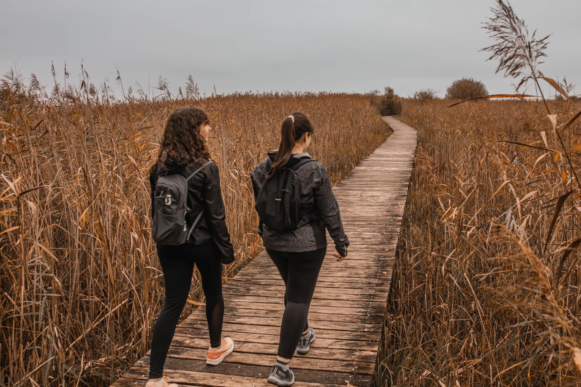
Between unspoilt nature and contemporary art, this looping route from Chevroux offers an immersion into the heart of the Grande Cariçaie.
The route invites you to discover the surrounding nature as well as contemporary art. The route skirts the shores of Lake Neuchâtel and follows an educational trail, offering an instructive look at the ecological wealth of the Grande Cariçaie, the largest lake marsh area in Switzerland.
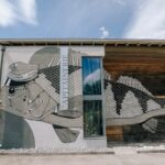
Stop off at Gletterens to enjoy the beach nestling in the heart of this nature reserve, an ideal setting for a break. Nearby, the harbour master's office is home to ‘Mille sabords’, a contemporary work of art by 2GC, part of the ArtiChoke urban art itinerary, which is present throughout the region, particularly in Estavayer-le-Lac.
The return journey to Chevroux takes in a loop along a path on the edge of the forest, bringing this experience of nature and artistic creation to a close.
Departure : Car park in Chevroux in the middle of the village


Properties of the itinerarie
Difficulty: Easy
Duration: 02:15
Distance: 8 km
Ascent/Descent: +56m / -56m
Altitude min./max.: 430m / 456m
Itinerary type
- Loop itinerary
- Scenic hike
- Family hike
- Educational hike