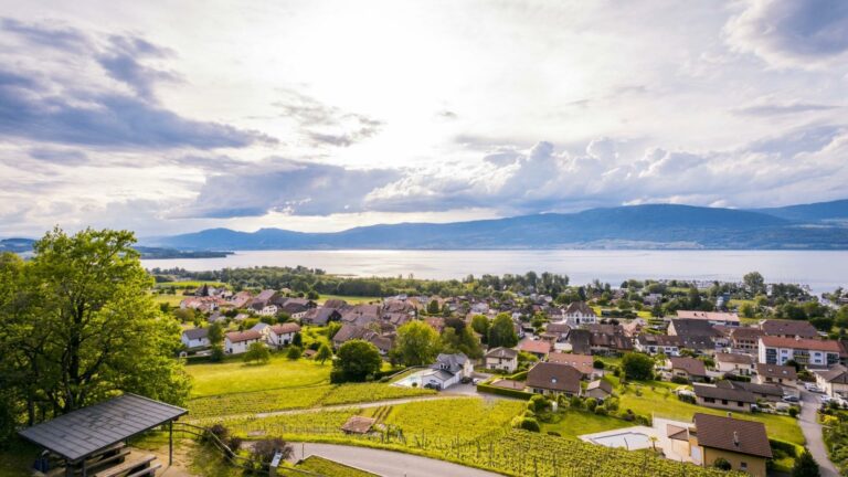
Lying in molasse terrain, the Cheyres wine estate is the only one to be sited on the southern flank of Lake Neuchâtel; its wines are particularly fruity and characteristic of their terroir.
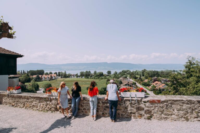
The educational trail leads the walker to discover the work involved in husbanding vineyards through the seasons, their history and varietals, while offering stunning views of the lake and the Jura. The trail offers a picnicking and barbecuing vantage point that overlooks the estate and the village.
Guided tour and wine tasting (3h00)
| Price per person | 20.- CHF |
Information
Cheyres-Châbles Tourisme
1468 Cheyres
Start: Cheyres village hall
Duration: Approximately 1h30, with stops at the educational panels along the trail.
A 3-hour guided tour of the trail, including a tasting of Cheyres wines, is available by prior arrangement for groups of at least 8 people. Reservations should be made by e-mail to info@cavedecheyres.ch.


Properties of the itinerarie
Type of activity: Family
Difficulty: Very easy
Duration: 01:30
Distance: 3 km
Ascent/Descent: +109m / -109m
Altitude min./max.: 448m / 508m
Itinerary type
- Loop itinerary
- Scenic hike
- Family hike
- Educational hike