Region of Fribourg

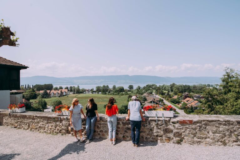
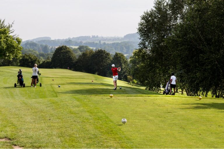
The tourist region of Fribourg offers you unforgettable experiences... Lake, city or mountains, discover a real land of values!


Fribourg Meeting offers you the possibility to comfortably organize your future seminars or congresses.

Choose a region

La Gruyère
Fribourg
Estavayer-le-Lac
Region
Region
Murtensee
Schwarzsee -
Senseland
Romont Région
Les Paccots
- La Veveyse

What are you looking for?

Choose a region

Welcome to the website of Fribourg Region and its tourist regions. Please select on the map the region you wish to discover and browse through its offers. We wish you a lot of fun!

swiss map
La Gruyere
Fribourg
Estavayer-le-Lac
Region
Région Lac
de Morat
Schwarzsee-
Senseland
Romont
Les Paccots
You are in the region
Search

Mycological path

Properties of the itinerarie

Type of activity: Family

Difficulty: Very easy

Duration: 01:30

Distance: 2 km

Ascent/Descent: +21m / -22m

Altitude min./max.: 561m / 577m

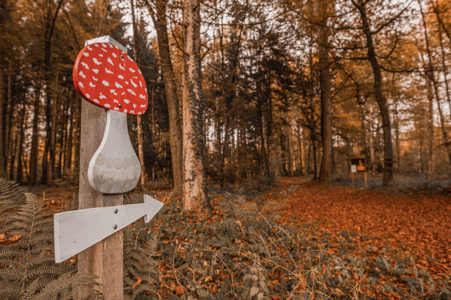
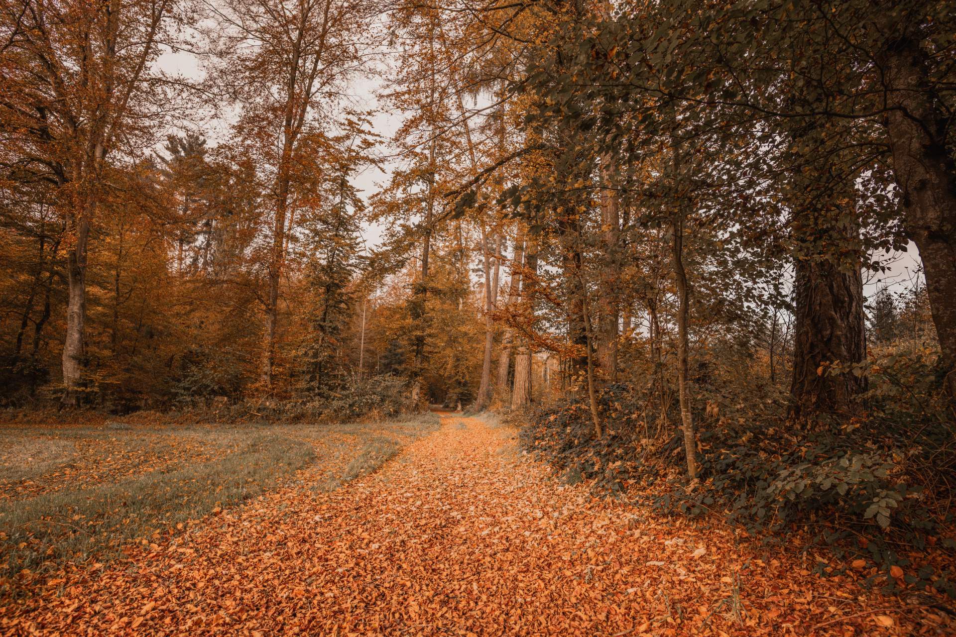
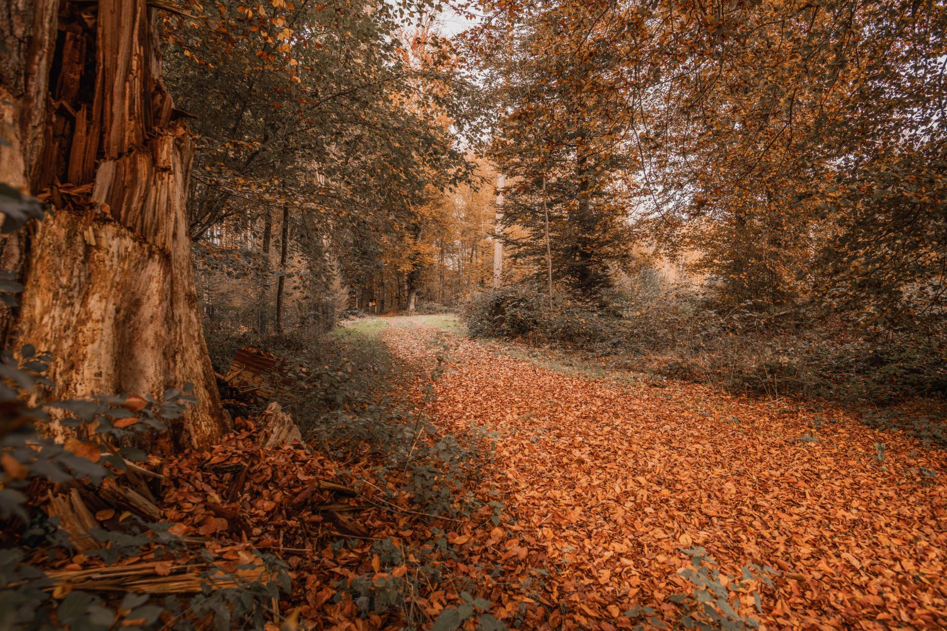
In the heart of the Chanéaz national forest, the educational trail allows each visitor to understand the basics of the fascinating and eclectic world of mushrooms.

It is in the Chanéaz forest, where more than 500 species of mushrooms have been recorded, that about thirty explanatory and illustrated panels form the mycological path. Each of them provides, in simple and non-scientific terms, a wealth of information, particularly on the morphology of mushrooms, the different deadly or edible species and the right reflexes for a successful harvest.

The useful tip: The table covered with foam on which we find a multitude of mushrooms with their material safety data sheet!

Information

Yvette Louis
Allée du Cimetière 7
1700 Fribourg

Information

Société Fribourgeoise de Mycologie
Allée du Cimetière 7
1700 Fribourg

Accessible by public transport: no
Accessible by car: yes
Vertical rise: -

- Picnic area at your disposal
- Free guided tour (from 8 people) on reservation

Properties of the itinerarie

Type of activity: Family

Difficulty: Very easy

Duration: 01:30

Distance: 2 km

Ascent/Descent: +21m / -22m

Altitude min./max.: 561m / 577m

Download files

External links

Report an error

More information

We use cookies to provide you with a better experience.

By browsing this site, you accept the Data Protection Policy, as well as the use of cookies to collect statistics for the purpose of continually improving the website.

Close