

Avry-sur-Matran – Courtaney – Village-Suisse – Le Bugnon – Gare CFF de Matran – Nonan
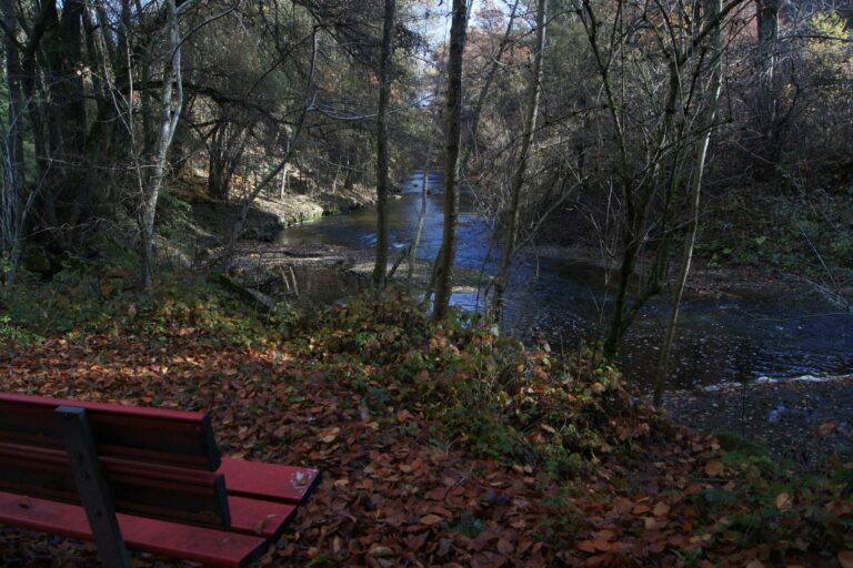
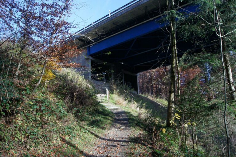
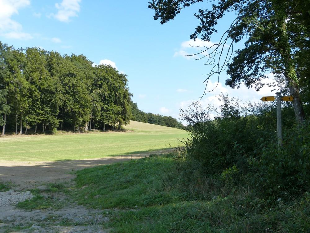
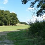
Park your car in the car park on the edge of the football pitch at the north exit of Avry, about 350 m before Courtaney. Drive north to Courtaney. Continue north, north-east, on the edge of the field for about 500m until you reach the footpath sign for Cormanon and then Freiburg. Go into the forest and follow the yellow signs first as far as the crossroads at Village-Suisse. Then take the 2nd class road to the south-east for 50 m and turn left onto the signposted path for the Moncor woods. You will pass over the motorway for the first time. After approx. 500 m, take a small but beautiful path on the right that goes around a huge mound. It leads you to a new bridge on the motorway. Follow the highway northwards towards the forest. At the entrance to the forest, you will find a path on the left that leads you to the outer edge of the forest towards the Bugnon farm. Carefully cross the first-class road and drive along it for approx. 275 m until you reach the small path that takes you into the countryside to the Matran railway station. You do not cross the tracks. Go up to the right towards Nonan on a nice tarmac road. Continue west, then cross the busy 1st class road a second time. Now walk on a beautiful (historical) gravel path to Pra-Fert. About 400 m further on the same path to find the car.
Information
Administration commiunale
Route des Fontanettes 57
1754 Avry
Information
Fribourg Tourisme et Région
Place Jean-Tinguely 1
Case postale 448
1700 Fribourg


Properties of the itinerarie
Difficulty: Easy
Duration: 02:40
Distance: 10 km
Ascent/Descent: +330m / -330m
Altitude min./max.: 632m / 743m
Itinerary type
- Loop itinerary