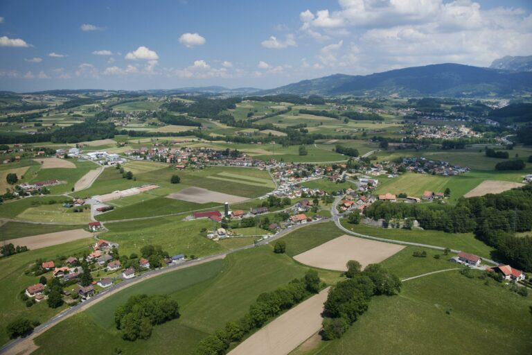
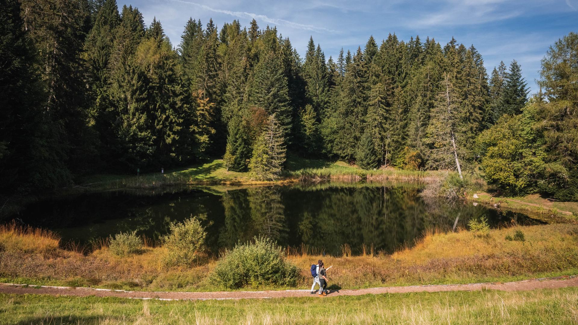
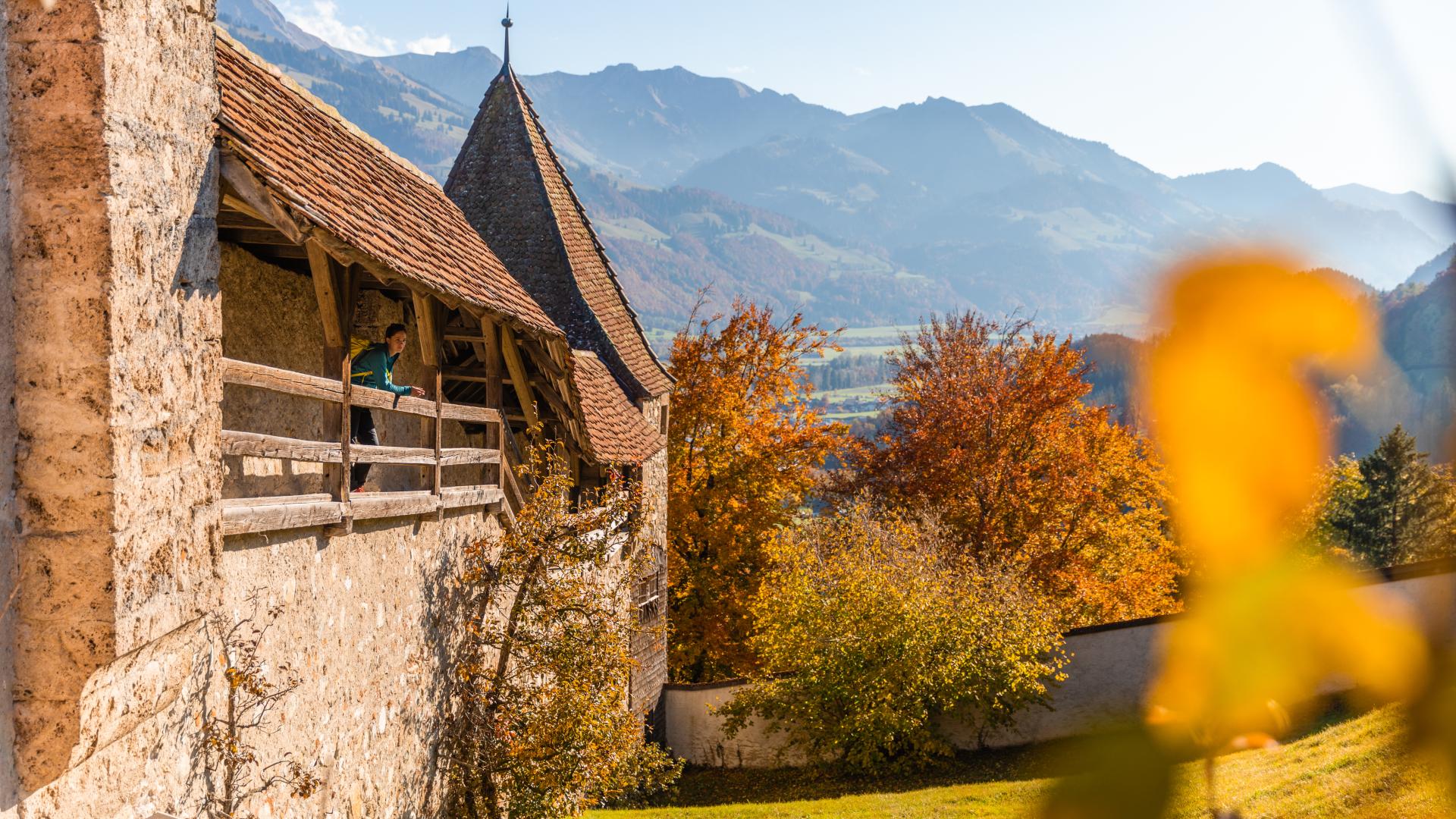
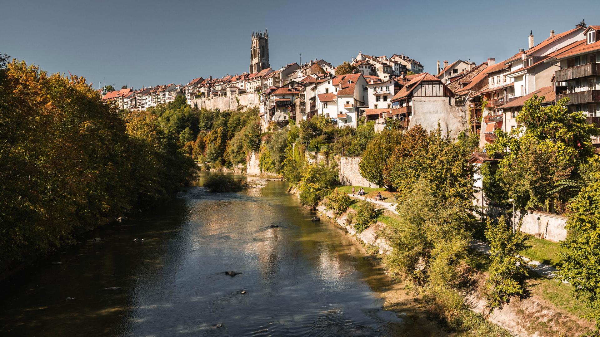
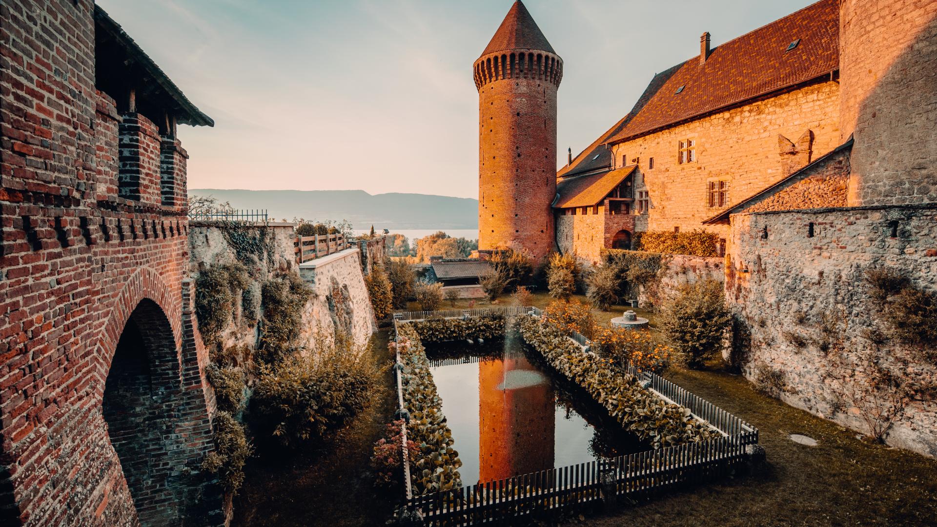

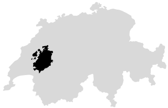





The municipality of Attalens, covering an area of 975 hectares, includes the villages of Tatroz and Vuarat, as well as the hamlets of Corcelles and Rombuet.
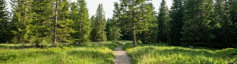
The municipality of Attalens, covering an area of 975 hectares, includes the villages of Tatroz and Vuarat, as well as the hamlets of Corcelles and Rombuet. Nestled in the valley formed by the Rhône glacier, it lies between Mont-Vuarat and Mont-Pèlerin. The minimum altitude of the municipality is 703 metres, at the edge of the Broye in Franex, while the village centre is situated at 780 metres and the summit of Mont-Vuarat reaches 985 metres.
The waters of Attalens flow partly southwards towards Lake Geneva and partly northwards towards the Broye. This positioning makes the municipality a transitional area between two slopes with distinct characteristics. Attalens is surrounded by the Fribourg municipalities of Bossonnens, Granges, and Remaufens, as well as the Vaud municipalities of Chardonne, Jongny, Corsier, and Ecoteaux, enriching its environment and accessibility.
Administration Communale
Rue de l'Eglise 4
CP 71
1616 Attalens