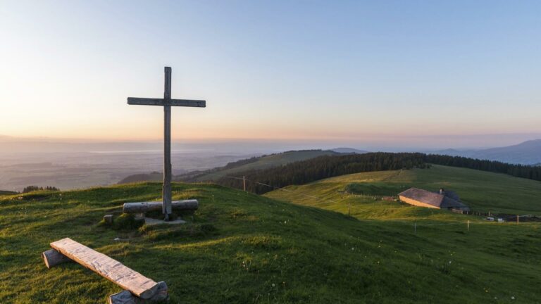


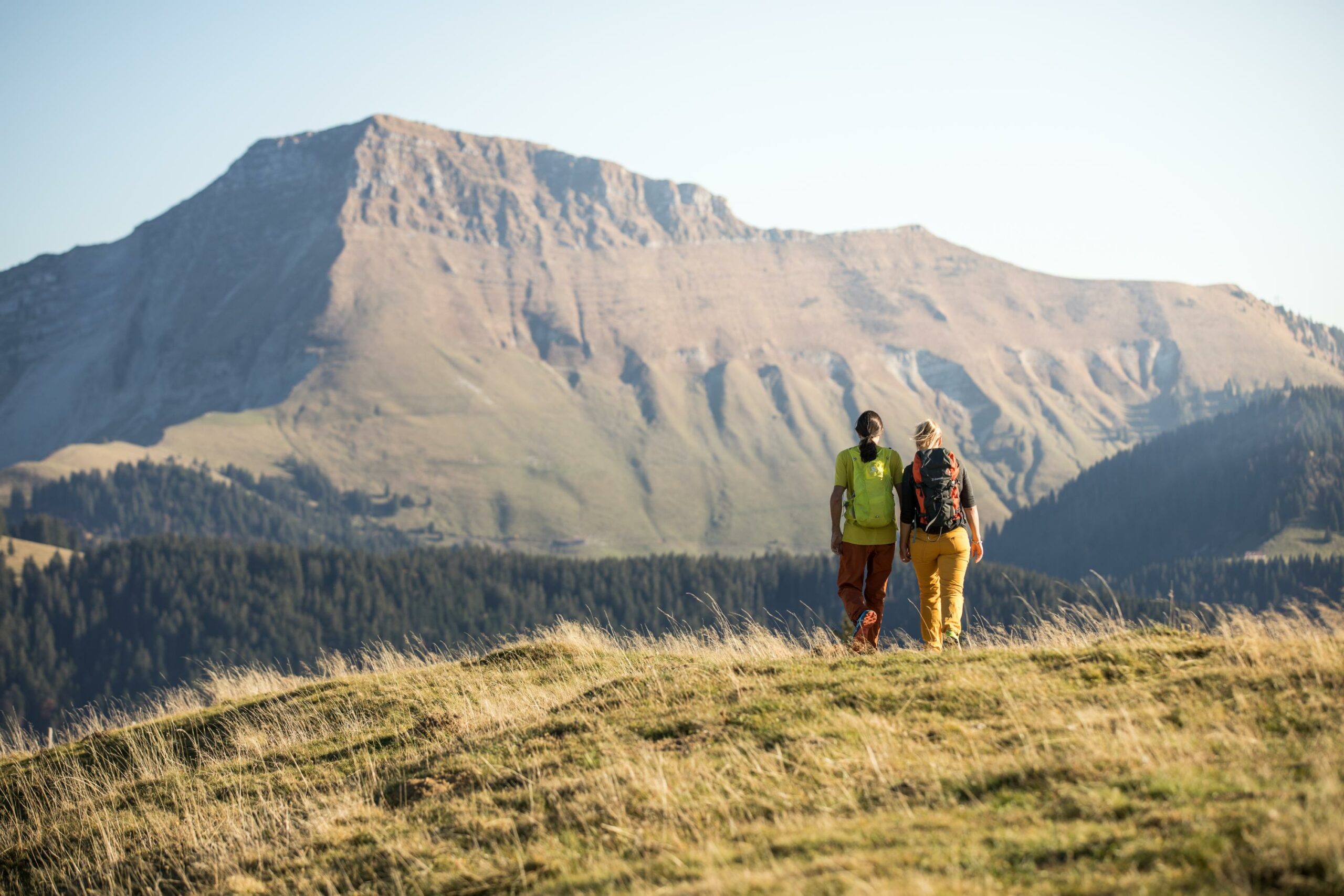
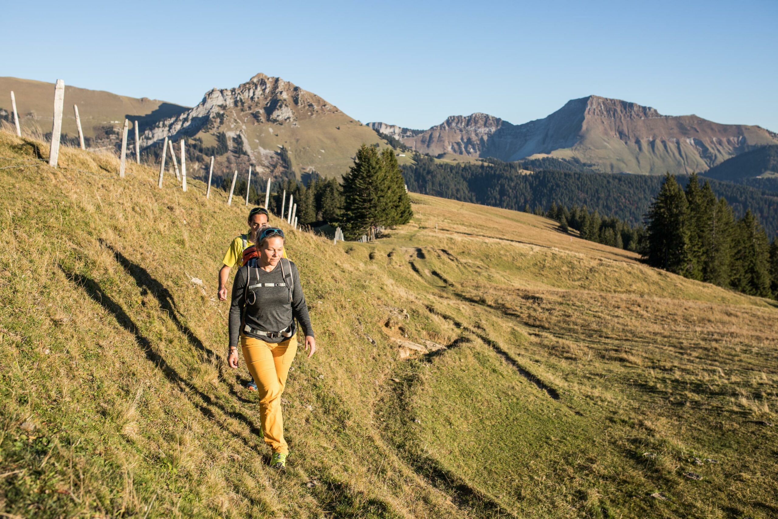
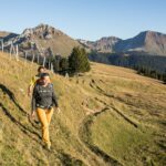
Summit the Niremont and enjoy a 360 ° view!
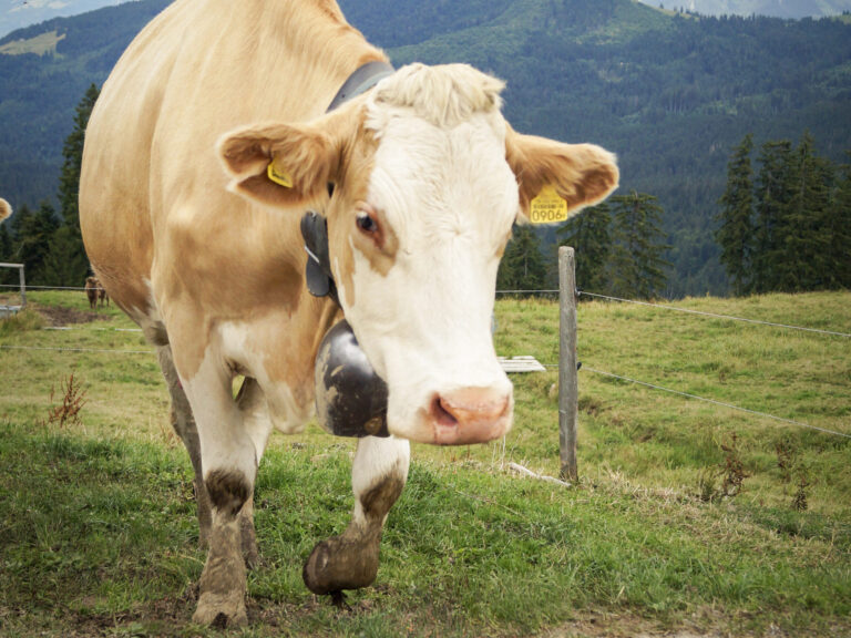
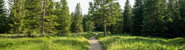
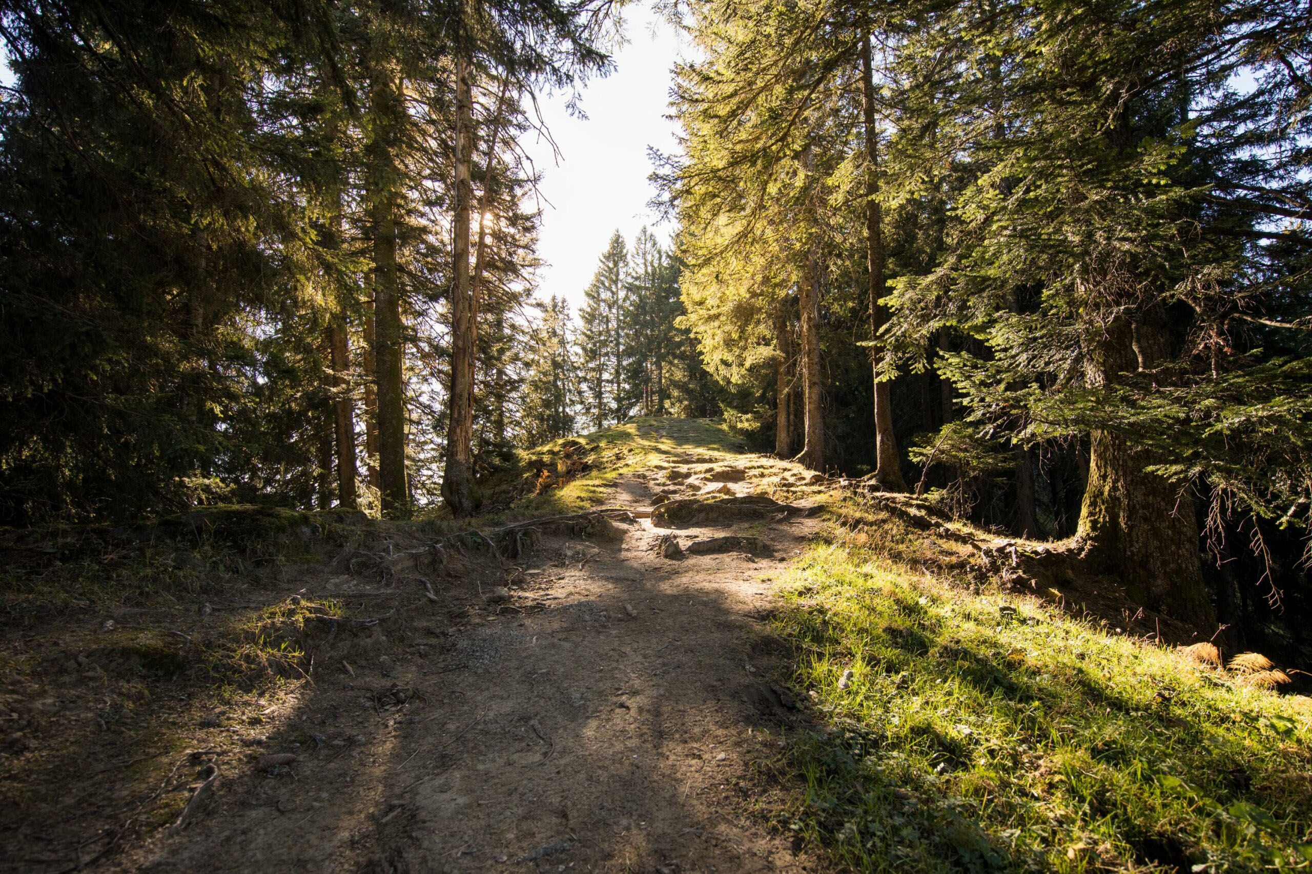
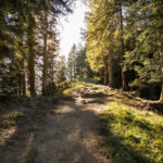
The Tour du Niremont is a very nice hike accessible to all, about 2 hours. A departure from Rahthvel, you will join Les Errouvines by the path of Perry and begin the climb towards Gros Niremont, do not hesitate to continue towards the summit of Niremont (1514 m) to discover a surprising view on the plateau romand and the Lake Geneva basin. Looking back, the majesty of our two famous peaks, the Teysachaux and the Dent de Lys will amaze you ! On your return, you will enjoy the bucolic setting of the Cabane du Petit Oiseau, its farm animals and its little train.
From June to September, you can combine hiking and gourmet discovery. Indeed, by reserving our gourmet path of the Epicurien with our Tourist Office, you will be able with our kit-fondue, to prepare and taste a famous half-half into the wild.
Accessible by public transport: no
Accessible by car: yes
Information
Les Paccots – La Veveyse Tourisme
1618 Châtel-St-Denis
- Departure: Rathvel station parking lot
- Access: car, bicycle, pedestrian
- Parking: nearby with 100 spaces
- PRM: The trail is not accessible to people with reduced mobility.
- Availability: year-round


Properties of the itinerarie
Type of activity: Family
Difficulty: Easy
Duration: 02:00
Distance: 6 km
Ascent/Descent: +340m / -339m
Altitude min./max.: 1218m / 1513m
Itinerary type
- Loop itinerary
- Family hike
- Hike to the summits