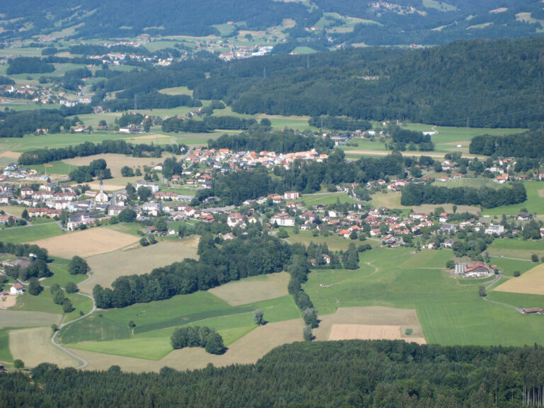


‘A stroll through history, forest and open horizons, leading step by step to superb views of the Pre-Alps.’
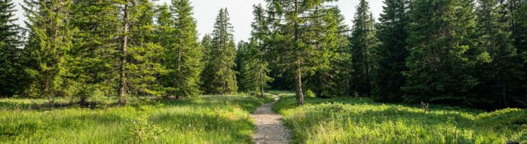
This 5.6 km trail first follows the road below the castle to the former gendarmerie. It then climbs the Route de la Rotta and passes close to the Attalens botanical trail. In front of the scout hut, you need to enter the forest and climb up to the Chemin des Charbonneyres. The trail continues to the edge of the canton of Vaud, where walkers can enjoy a magnificent view of the Pre-Alps. The return journey is via the Chemin des Charbonneyres to the school and the car park.
The complete tour takes about 1.5 hours with an elevation gain of 140 m.
Nearby parking with 40 spaces

Properties of the itinerarie
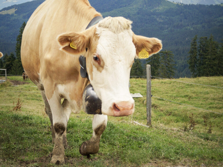
Type of activity: Family
Difficulty: Easy
Duration: 01:33
Distance: 6 km
Ascent/Descent: +150m / -150m
Altitude min./max.: 758m / 869m
Itinerary type
- Loop itinerary
- Scenic hike
- Family hike