


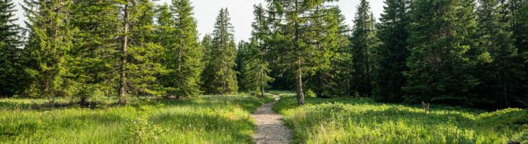
‘A forest retreat punctuated by water, clearings and rest areas, ideal for a rejuvenating stroll through the undergrowth.’
The trail explores the forests of Montessingeoz and Vua. From the parking lot, follow the road to the industrial zone, following the cloverleaf markings. In the Montessingeoz forest, a covered log shelter invites walkers to take a break. The trail then joins the Biorde, climbs back up through the Vua forest to the waterfalls. A staircase takes walkers back to the Chemin d'en Faye, where a hut has been set up for picnics. The walk continues along the forest to the Chemin Creux, then climbs behind the shooting ranges to the road and the car park. The complete loop takes about 1 hour 20 minutes, with an elevation gain of 124m.
When the shooting range is in use and the barriers are down, walkers are invited to follow the forest on their left and go back up via the Chemin d'en Faye.
Nearby parking with 40 spaces

Properties of the itinerarie
Type of activity: Family
Difficulty: Easy
Duration: 01:27
Distance: 5 km
Ascent/Descent: +134m / -134m
Altitude min./max.: 706m / 779m
Itinerary type
- Loop itinerary
- Family hike
- Along the water