With 23 kilometres of winding trails and 1,600 metres of elevation gain, this route promises an unforgettable experience, in perfect harmony with the majesty of the surrounding nature.
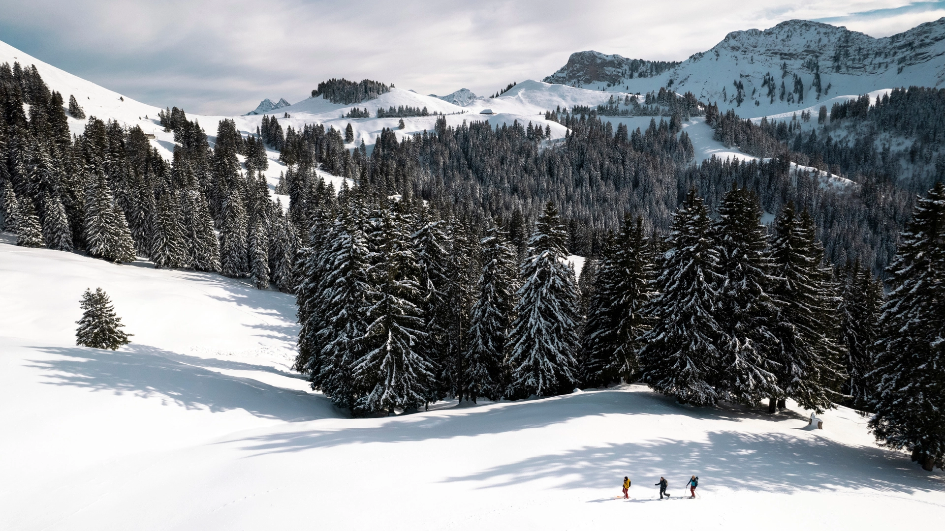
Starting their journey from the village centre, trail runners are guided along inviting paths that wind through lush forest. The climb to Niremont begins gently, providing an ideal opportunity to warm up the muscles and prepare for the ascent ahead. As the runners gain altitude, they are rewarded with breathtaking views of the valleys below and the peaks on the horizon.
Once they reach the summit of Niremont, the trail runners find themselves enveloped in an atmosphere of tranquillity and wonder. It's the perfect time to catch their breath, refuel and mentally prepare for the ultimate challenge that awaits them: the ascent of Teysachaux. But before that, several refreshment stands and restaurants dot the route, offering runners the opportunity to recharge their batteries and enjoy invigorating local dishes.
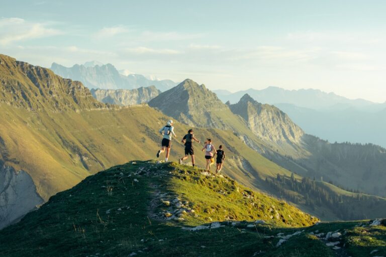
The climb to Teysachaux proves to be a real test of endurance, with steeper slopes and technical challenges that require concentration and determination. Each stride brings the trail runners a little closer to the summit. But as the alpine landscape unfolds before their amazed eyes, all the difficulty of the climb seems to fade away in the face of the grandeur of the nature that surrounds them.
Finally, the long-awaited summit of Teysachaux looms on the horizon, welcoming runners with a breathtaking panoramic view of the surrounding peaks and the green plain.
Thus ends this epic journey through the trails, leaving trail runners with unforgettable memories and indescribable feelings of freedom. Whether for challenge seekers or nature lovers, this trail route offers an unforgettable experience in the magnificent playground of Les Paccots.
Properties of the itinerarie
Type of activity: Sports
Difficulty: Challenging
Distance: 23 km
Ascent/Descent: +1600m / -1600m
Altitude min./max.: 984m / 1909m
Itinerary type
- Loop itinerary
- Scenic hike
- Hike to the summits

