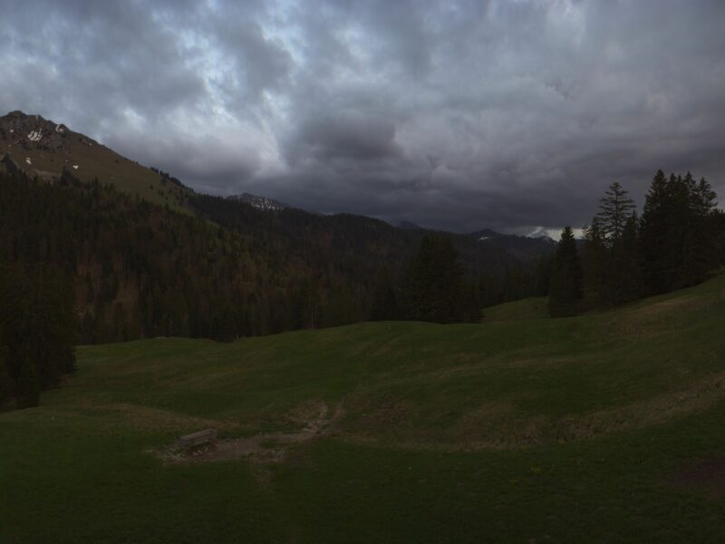


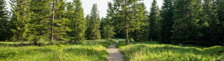
A beautiful route in the Rathvel region for all ski touring enthusiasts!
Starting from Rathvel, this route offers a beautiful climb to Gros Niremont, which rises to an altitude of 1,482 meters, where you can admire the region's landscapes.
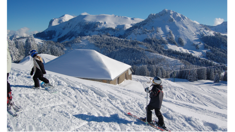
The descent, which is just as enjoyable, will take you back to your starting point. It can be done either via the Rathvel ski slope when it is open, or via the same route as the ascent.
Before setting off on the descent, we recommend checking that the ski area is open to ensure a safe and enjoyable experience.
Information
Les Paccots – La Veveyse Tourisme
Place d'Armes 15
1618 Châtel-St-Denis
- Use marked trails.
- Skiing down the slopes is prohibited outside of ski lift operating hours, particularly due to the dangers posed by snow grooming equipment.
- It is prohibited to ski tour along the edges of the ski slopes outside of night ski touring hours.
- Night ski touring is permitted in Rathvel on Thursdays between 5:00 p.m. and 10:00 p.m.

Properties of the itinerarie
Type of activity: Sports
Difficulty: Easy
Duration: 01:00
Distance: 1 km
Ascent/Descent: +253m / -7m
Altitude min./max.: 1236m / 1482m
Itinerary type
- Scenic hike
- Family hike