


A trail that will offer you a magnificent view of the Vaudois Alps, the Fribourg Prealps, the Dôle, the Chasseral, and Lake Geneva.
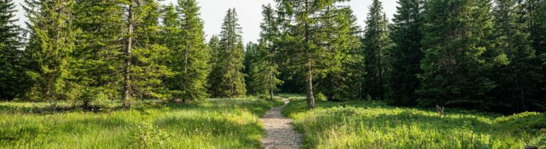
The trail ascends to the alpine meadow via Route de la Léchère. From there, the route progresses through the forest to Mont-Cheseaux, passing by the Chalet de la Moille. At this point, you have the option to follow the Mont-Pèlerin route (No. 457 or No. 1) or descend past the Mont-Chesau refreshment stand, then through La Grangette and La Cierne before returning to the starting point.
Another possible route is to continue on the Mont-Pèlerin route (No. 1 and 457) from the Chalet de la Moille (6.9 km / 2h10 with an elevation gain of 240 m).
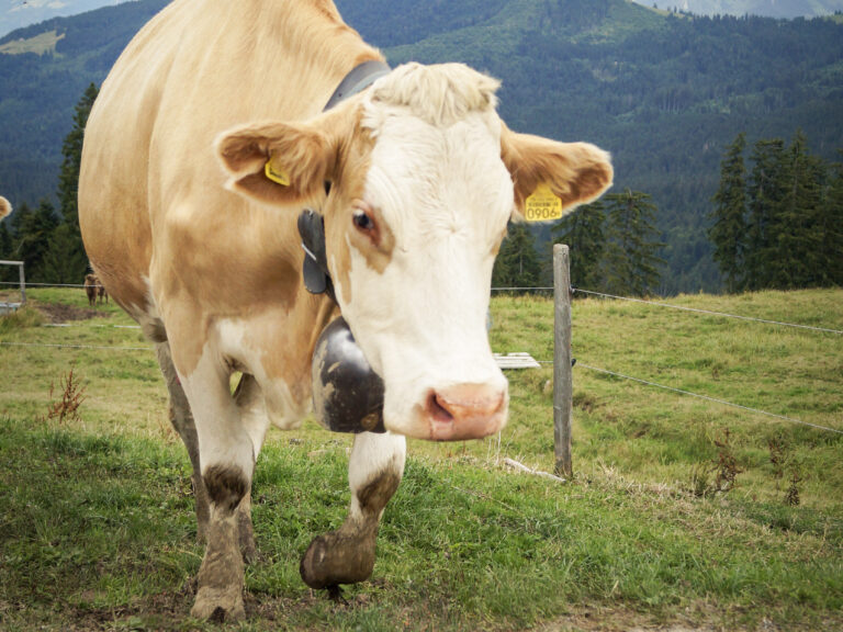
In consideration of wildlife, please note that the trail is exclusively marked for the day.
The starting and ending point is in the heart of Granges, at the Village public transport stop. Public parking is available behind the chapel, and restroom facilities are accessible at the municipal administration.
The route is fully accessible with good footwear, even when there is no snow. You also have the option of completing just one of the two loops, depending on your preference.
Information
Les Paccots – La Veveyse Tourisme
Place d'Armes 15
1618 Châtel-St-Denis
- Departure: Village stop
- Access: car, public transport
- Parking: nearby with 50 spaces
- PRM: The trail is not accessible to people with reduced mobility.
In case of limited snow cover or towards the end of the season, the route remains accessible with proper footwear and trekking poles.

Properties of the itinerarie
Type of activity: Sports
Difficulty: Moderately difficult
Duration: 03:00
Distance: 7 km
Ascent/Descent: +347m / -349m
Altitude min./max.: 752m / 980m
Itinerary type
- Loop itinerary
- Scenic hike