
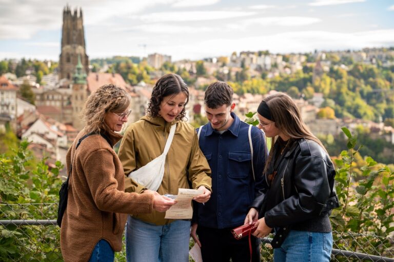
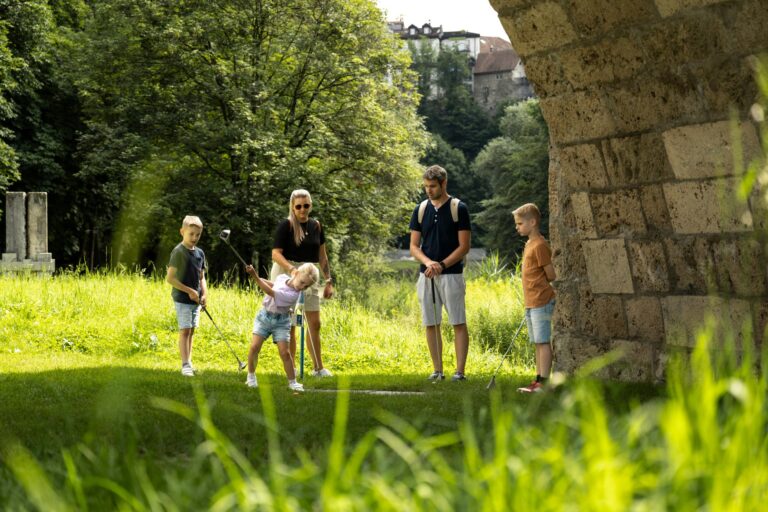
A beautiful hike along the Saane river to the Hauterive Abbey. The path often leads through the forest and is perfect for a summer hike.
Please note: circuit closed for maintenance until 30 July 2026
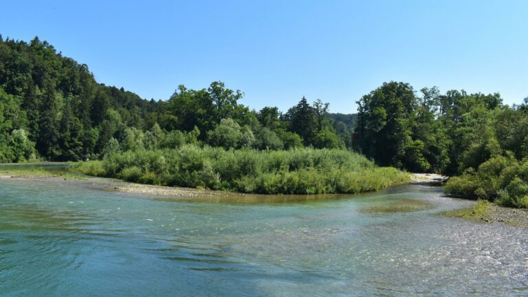
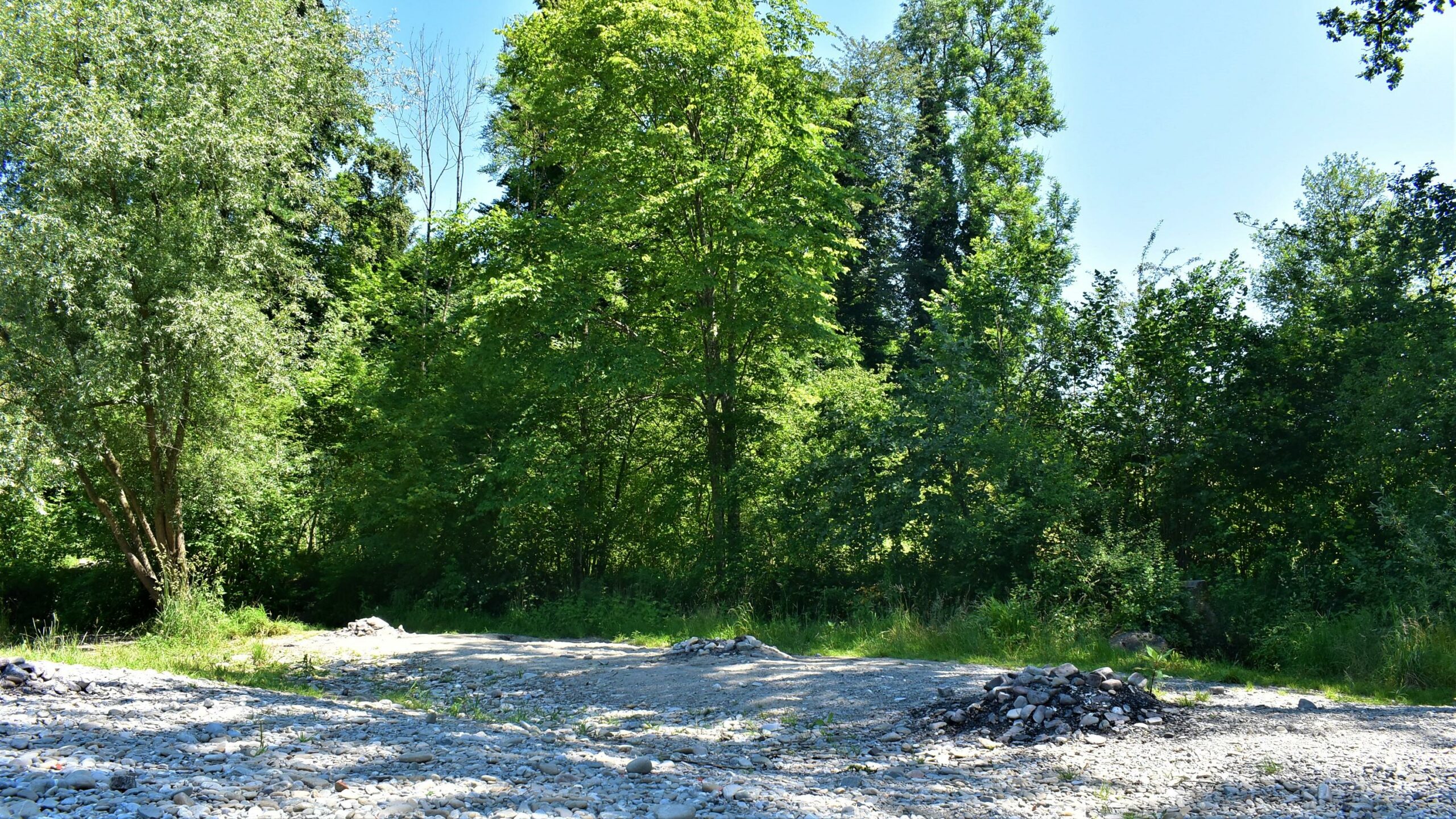
From Marly - Le Port, take the bridge over the river La Gérine (Ärgera) and then turn right onto a dirt road. From a distance you can see the confluence of the Saane and Ärgera rivers. Continue your walk by following the course of the Saane along various edges of the forest. The varied landscape of fields, forest and river will captivate you with the endless course of the Saane, the beautiful play of colours in nature and the floodplains and floodplains next door.
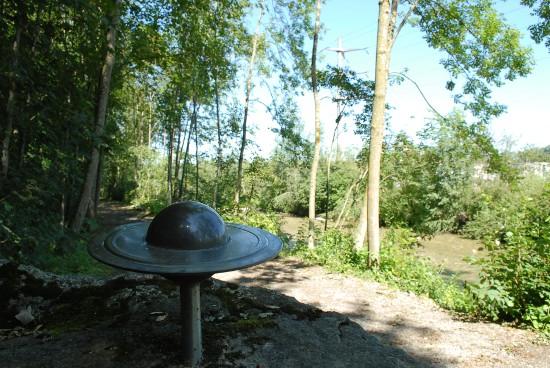
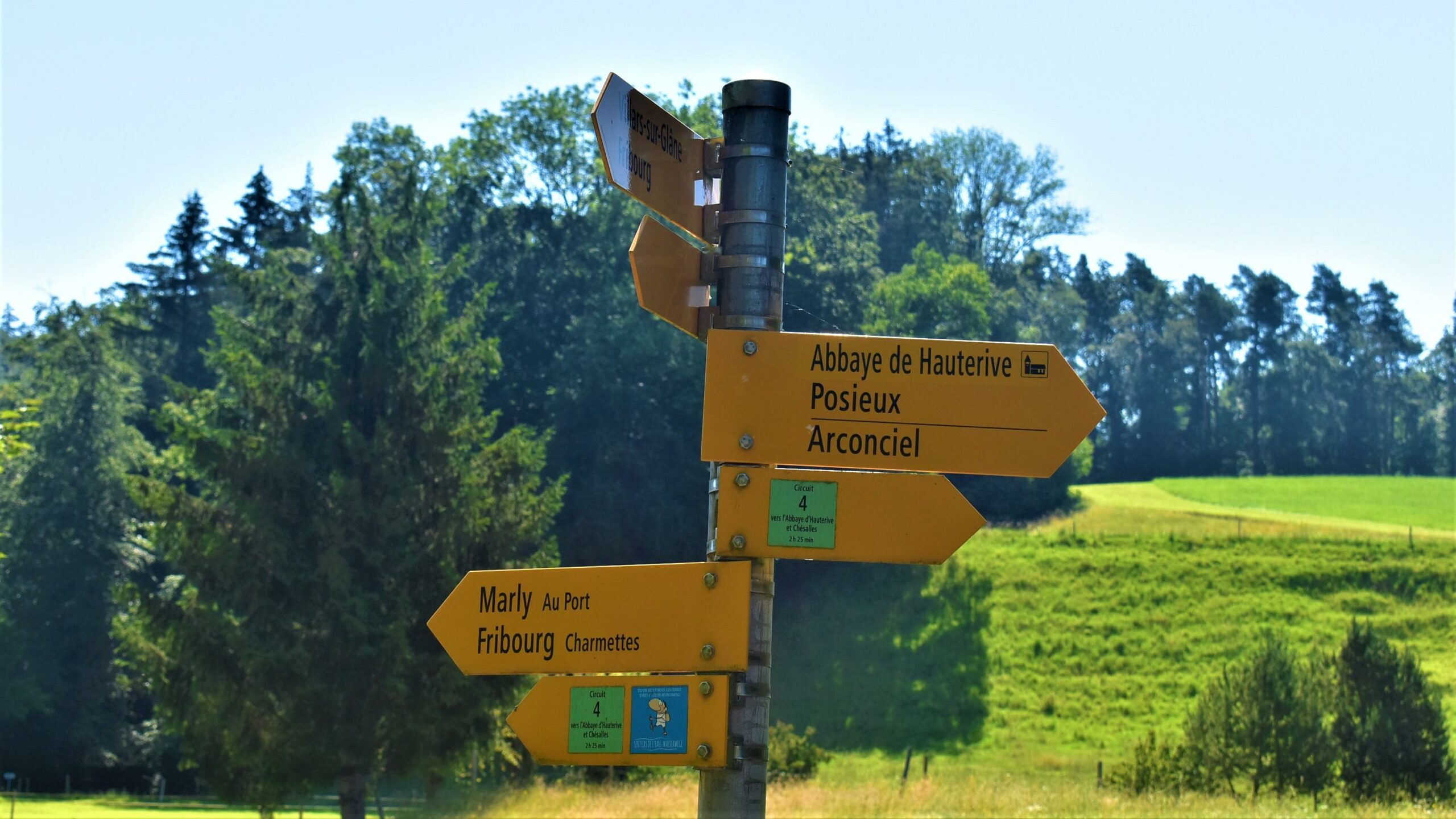
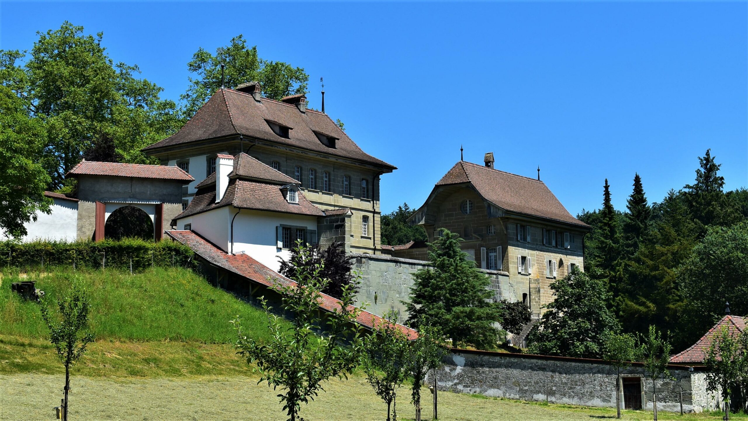
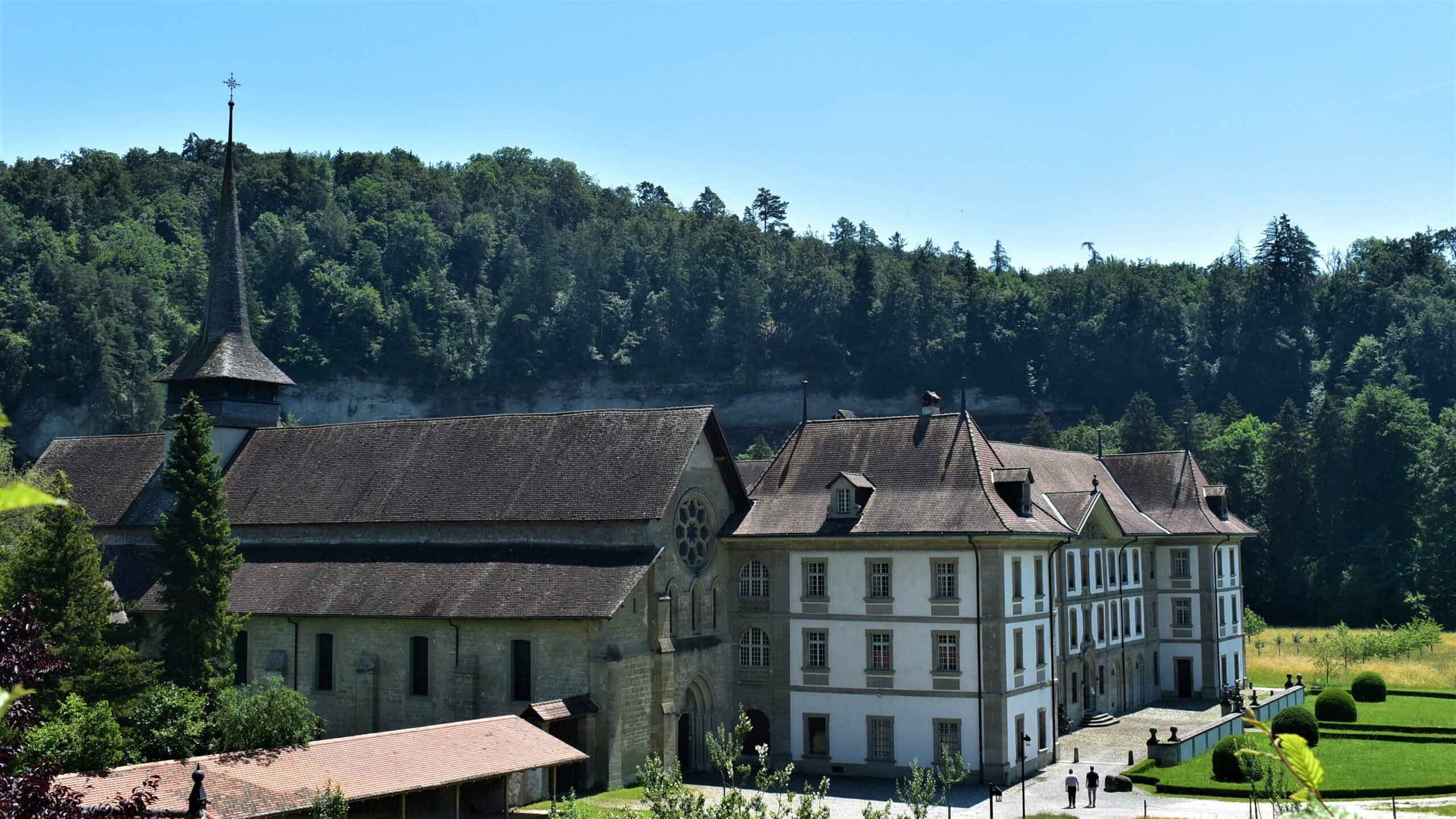
Along the way, you will pass near an electricity station, cross the metal footbridge and continue your walk. At the end of this path, turn into the road towards Posieux and cross another metal bridge. At the end of the bridge, turn left directly into the forest. This part of the route along the Saane river allows you to get a first glimpse of the beautiful monastery, the Hauterive Abbey. Along the way, note the carved posts which separate the forest and the abbey.
From there, go round the monastery in a wide arch and at the end of the path, turn left and cross a bridge. Walk along a stony dirt road until you reach a small old building. From there you continue into the forest of La Souche. The path becomes steeper and crosses a path carved into the rock before coming out near the cliffs. The path continues through the forest until at the end you can discover the villages of Arconciel and Ependes. Walk down to the Monteynan farm, cross the main road towards a forest hill and follow the path along the edge of the forest. After crossing the forest, you will reach the hamlet of Chésalles (be careful when crossing the cantonal road). In the middle of the hamlet, turn right onto an asphalt road which continues along a dirt track. You will then pass isolated farms in the countryside and continue along the path until you reach the Ärgera (Gérine). From there, follow the path on the left that goes up along the river. This last section is hilly but beautiful, passing the edge of the forest, clearings and undergrowth. After a short descent you will reach the starting point of the hike Marly - Le Port again.
Information
Administration communale d'Hauterive
rte de Posieux 4
1730 Ecuvillens
Information
Fribourg Tourisme et Région
Place Jean-Tinguely 1
Case postale 448
1700 Fribourg


Properties of the itinerarie
Type of activity: Sports
Difficulty: Easy
Duration: 02:45
Distance: 9 km
Ascent/Descent: +487m / -486m
Altitude min./max.: 564m / 714m
Itinerary type
- Loop itinerary
- Along the water