


‘A journey with a thousand faces, combining heritage, gourmet cuisine and exceptional views, for a well-deserved and thoroughly enjoyable getaway.’
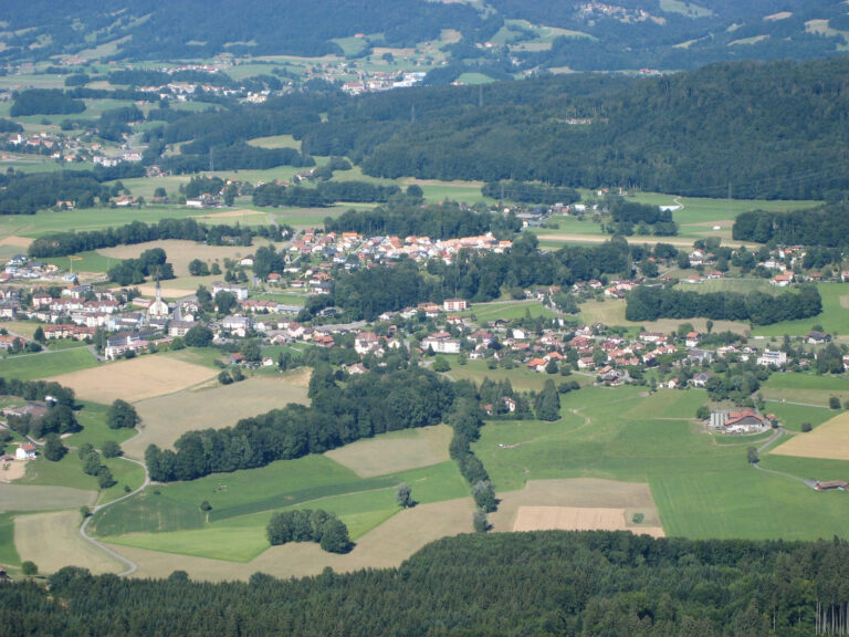
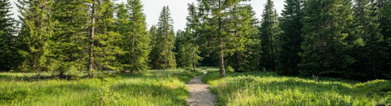
Head east and follow the red cloverleaf markings. From the La Condémine car park, walk along the school grounds and past the Chêne chapel. Cross the Planche-à-Troupet district and you will arrive at Rombuet, where you can help yourself to berries and vegetables depending on the season. The Mont-Vuarat forest towers above you and requires some effort to reach the spring to refresh yourself before enjoying the panorama from the viewpoint. The descent leads to the Budzilyère forest hut, an oasis of calm, before reaching the hamlet of Vuart via Clos Colliard. You can complete the hike via the cantonal road. The entire tour takes about 1 hour and 40 minutes with an elevation gain of 180 m.
Nearby parking with 15 spaces
Accessible to people with reduced mobility

Properties of the itinerarie
Type of activity: Family
Difficulty: Easy
Duration: 01:30
Distance: 5 km
Ascent/Descent: +191m / -170m
Altitude min./max.: 775m / 912m
Itinerary type
- Loop itinerary
- Scenic hike
- Family hike
- Stroller accessible