Region of Fribourg

The tourist region of Fribourg offers you unforgettable experiences... Lake, city or mountains, discover a real land of values!


Fribourg Meeting offers you the possibility to comfortably organize your future seminars or congresses.

Choose a region

La Gruyère
Fribourg
Estavayer-le-Lac
Region
Region
Murtensee
Schwarzsee -
Senseland
Romont Région
Les Paccots
- La Veveyse

What are you looking for?

Choose a region

Welcome to the website of Fribourg Region and its tourist regions. Please select on the map the region you wish to discover and browse through its offers. We wish you a lot of fun!

swiss map
La Gruyere
Fribourg
Estavayer-le-Lac
Region
Région Lac
de Morat
Schwarzsee-
Senseland
Romont
Les Paccots
You are in the region
Search

Walk along the water

Properties of the itinerarie

Type of activity: Sports

Difficulty: Moderately difficult

Duration: 02:25

Distance: 9 km

Ascent/Descent: +201m / -396m

Altitude min./max.: 498m / 791m

From Romont to Henniez, follow the course of the Henniez water, which has changed from medicinal to mineral.

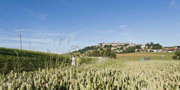
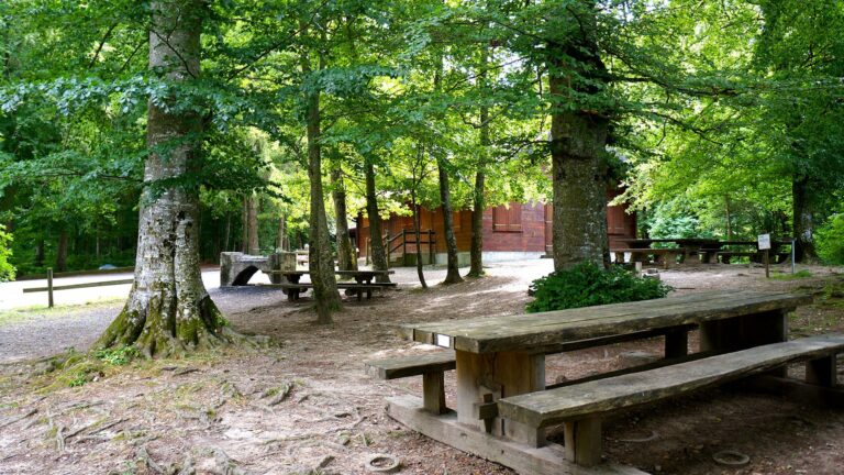
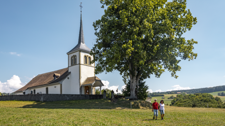
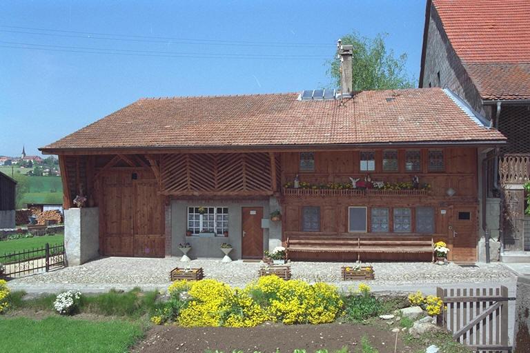
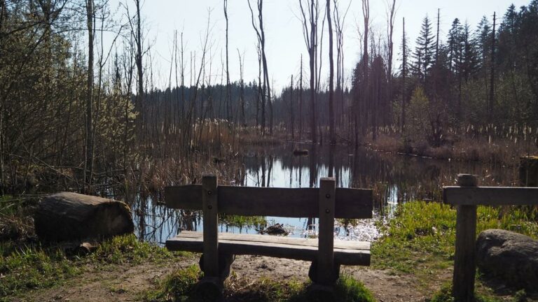
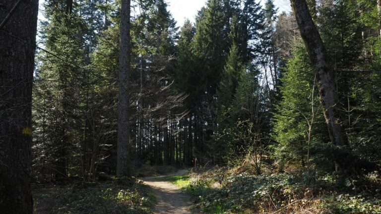
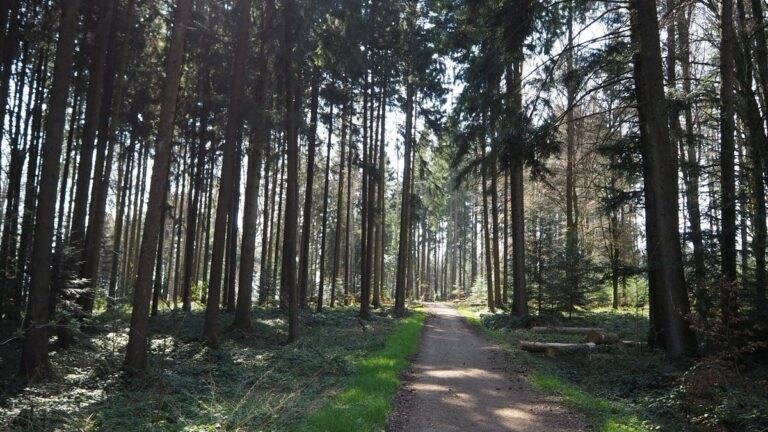
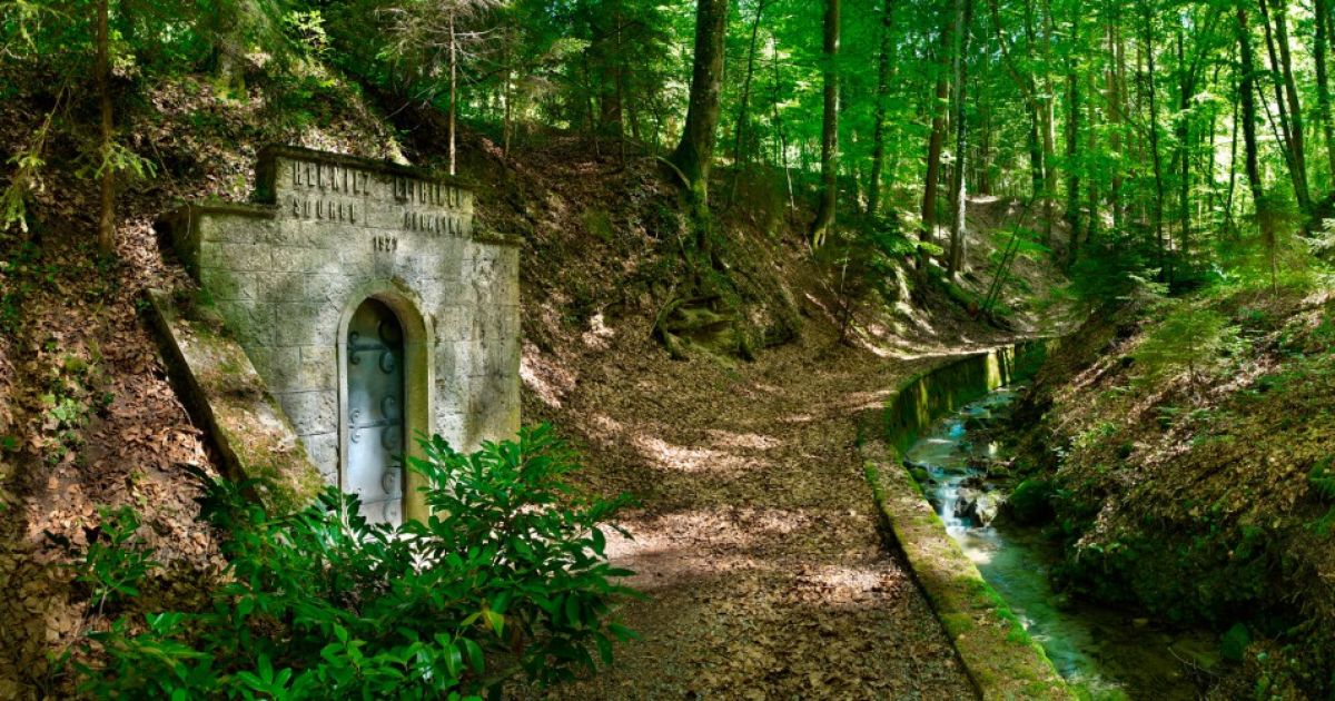
The walk starts at the Romont train station and follow the hiking signs in the direction of Henniez. You will pass through some residential areas before you find yourself in the middle of the Vaud countryside. Don't forget to look back, you can admire Romont! You cross fields and forests until you reach Dompierre. You follow several paths in the forest and cross several villages. Cross the Trémeule river thanks to a small wooden bridge. Walk along the Trémeule. You will see the Bonne-Fontaine spring, the first one discovered by the Celts. Then, at the end of the walk, you can admire several historical vestiges, such as the farm that housed the Henniez baths. You finish your bucolic walk in the forest along the Trémeule river...

Accessible by public transport: yes | Nearest bus or train stop: Romont gare

Properties of the itinerarie

Type of activity: Sports

Difficulty: Moderately difficult

Duration: 02:25

Distance: 9 km

Ascent/Descent: +201m / -396m

Altitude min./max.: 498m / 791m

Download files

External links

Report an error

More information

We use cookies to provide you with a better experience.

By browsing this site, you accept the Data Protection Policy, as well as the use of cookies to collect statistics for the purpose of continually improving the website.

Close