In 1997, the BSO launched the “Bike-Parcours” project. On 12 June 1999 the course was officially inaugurated and handed over to the general public. Until today a bike highlight in the region Schwarzsee – Senseoberland.
A bike course – what do you think of? Anyone who wants mountain bike over rough and smooth should learn to react quickly and correctly and to know the technical possibilities of the bike well. All this can be practiced and perfected on the bike course.
The course contains a variety of artificial obstacles of different levels , which can also be bypassed. On the 3 km long route you will cross root and forest soil trails with boulders, steps, steep curves, wooden bridges and much more.
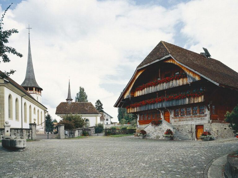
The trail is well signposted from the church Plaffeien and is located in close proximity of the Vita Parcours in Hapferen-Plaffeien.
The ascent to the trail entrance can be comfortably covered on an asphalt and gravel road.
Maintenance is provided by the local Bike Club BSO. The use of the facility is free of charge.
The club welcomes voluntary donations.
Information
Bikeclub Sense Oberland
1716 Plaffeien
Properties of the itinerarie
Type of activity: Sports
Distance: 3 km
Ascent/Descent: +30m / -284m
Altitude min./max.: 888m / 1142m


