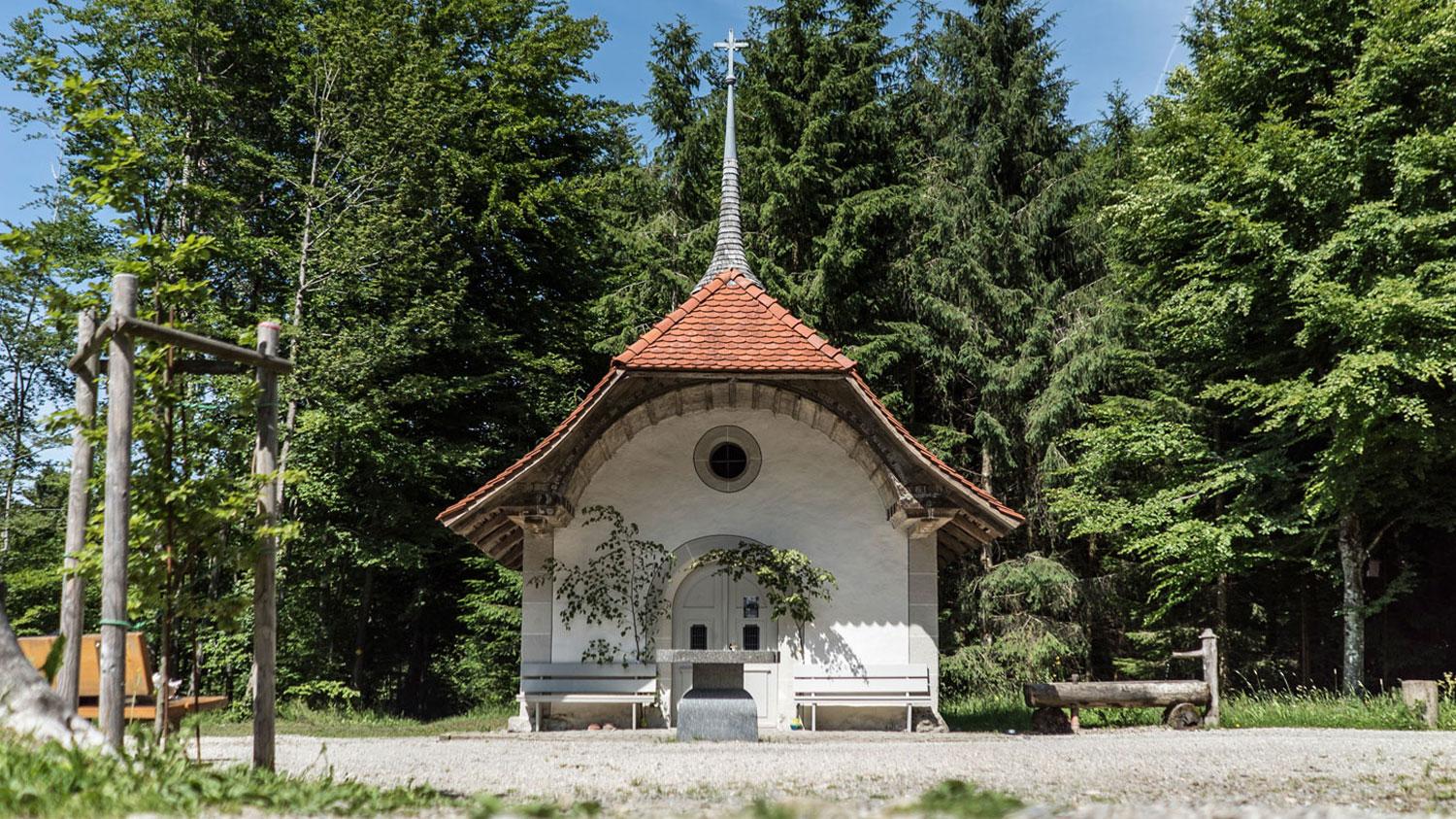
The central point of this tour, the Buchenkapelle, is located in the middle of a forest clearing. The Buechechäppeli, as the locals call the chapel, is dedicated to Saint Anthony, a nature lover and protector of animals. Several benches and a fountain make the picturesque place ideal for a break.
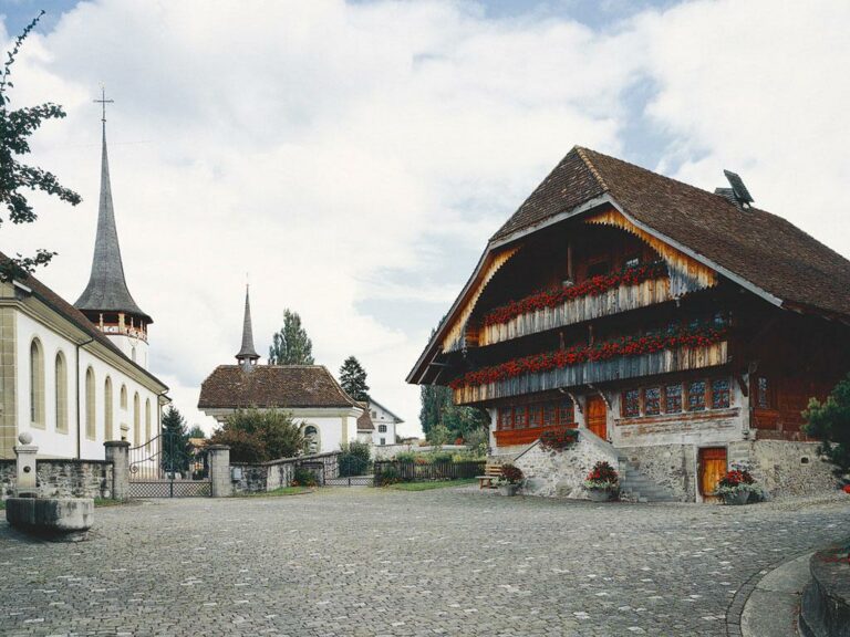
In the village of Plaffeien you start the tour and reach Plasselb via district streets. After that, the path runs along the main road, before you get back to a side road to the hamlet of Guglera. Sisters ran a girls' boarding school here until 2004.
After that, a short ascent to Neuhaus follows, before diving into the forests of the Oberholz. At the Schlossweid, the view wanders to the right. On clear days even as far as the Three Lakes Land.
Now follows a short descent to Plaffeien, the starting point of this entertaining tour.
Information
Schwarzsee-Senseland Tourismus, Schwarzseestrasse 212, 1716, Schwarzsee
Schwarzseestrasse 212
1716 Schwarzsee


Properties of the itinerarie
Type of activity: Sports
Difficulty: Very easy
Duration: 01:50
Distance: 12 km
Ascent/Descent: +344m / -345m
Altitude min./max.: 850m / 1057m