Region of Fribourg

The tourist region of Fribourg offers you unforgettable experiences... Lake, city or mountains, discover a real land of values!


Fribourg Meeting offers you the possibility to comfortably organize your future seminars or congresses.

Choose a region

La Gruyère
Fribourg
Estavayer-le-Lac
Region
Region
Murtensee
Schwarzsee -
Senseland
Romont Région
Les Paccots
- La Veveyse

What are you looking for?

Choose a region

Welcome to the website of Fribourg Region and its tourist regions. Please select on the map the region you wish to discover and browse through its offers. We wish you a lot of fun!

swiss map
La Gruyere
Fribourg
Estavayer-le-Lac
Region
Région Lac
de Morat
Schwarzsee-
Senseland
Romont
Les Paccots
You are in the region
Search

Heart loop Sense

Properties of the itinerarie

Type of activity: Sports

Difficulty: Moderately difficult

Duration: 04:00

Distance: 72 km

Ascent/Descent: +1164m / -1163m

Altitude min./max.: 490m / 1001m

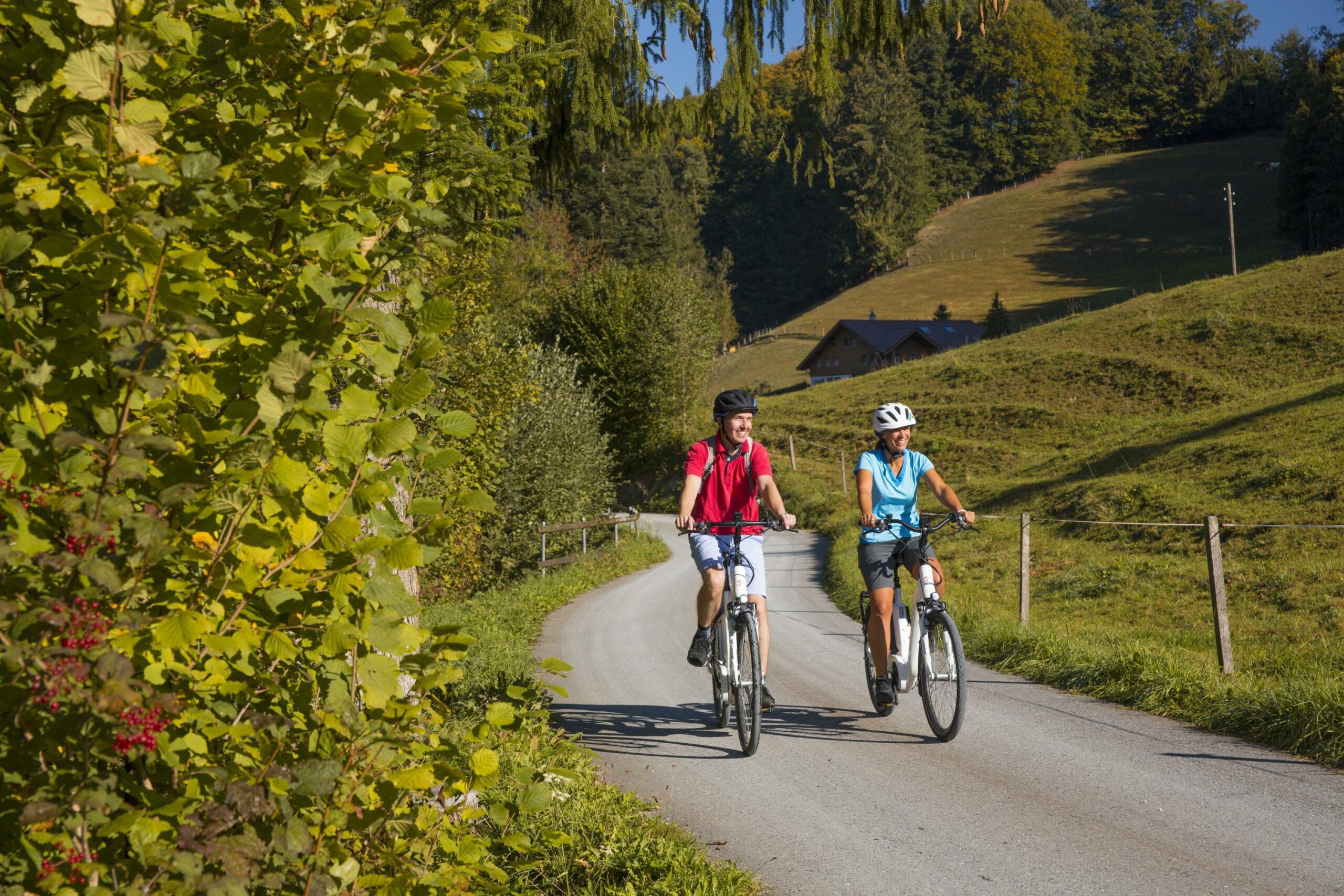
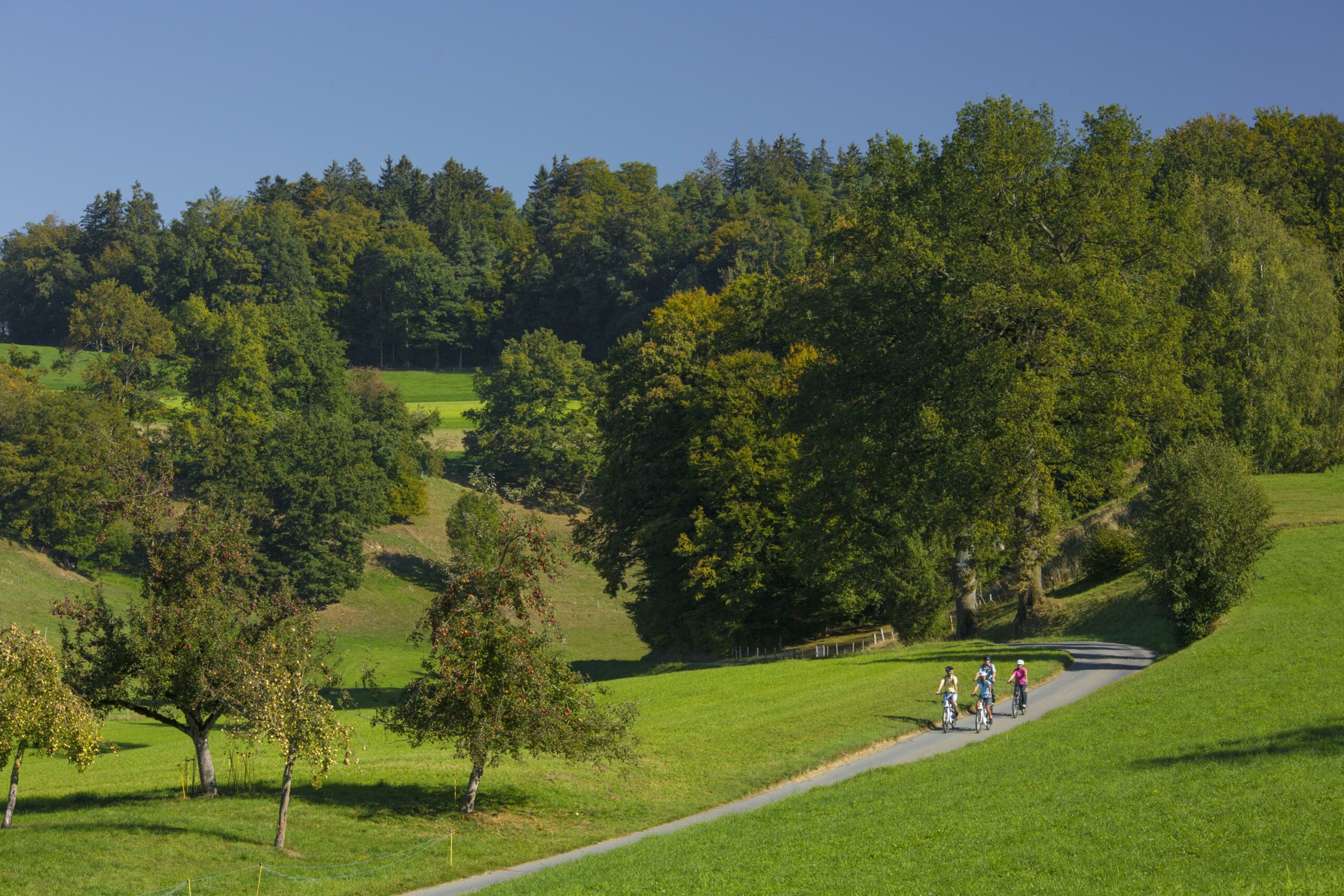
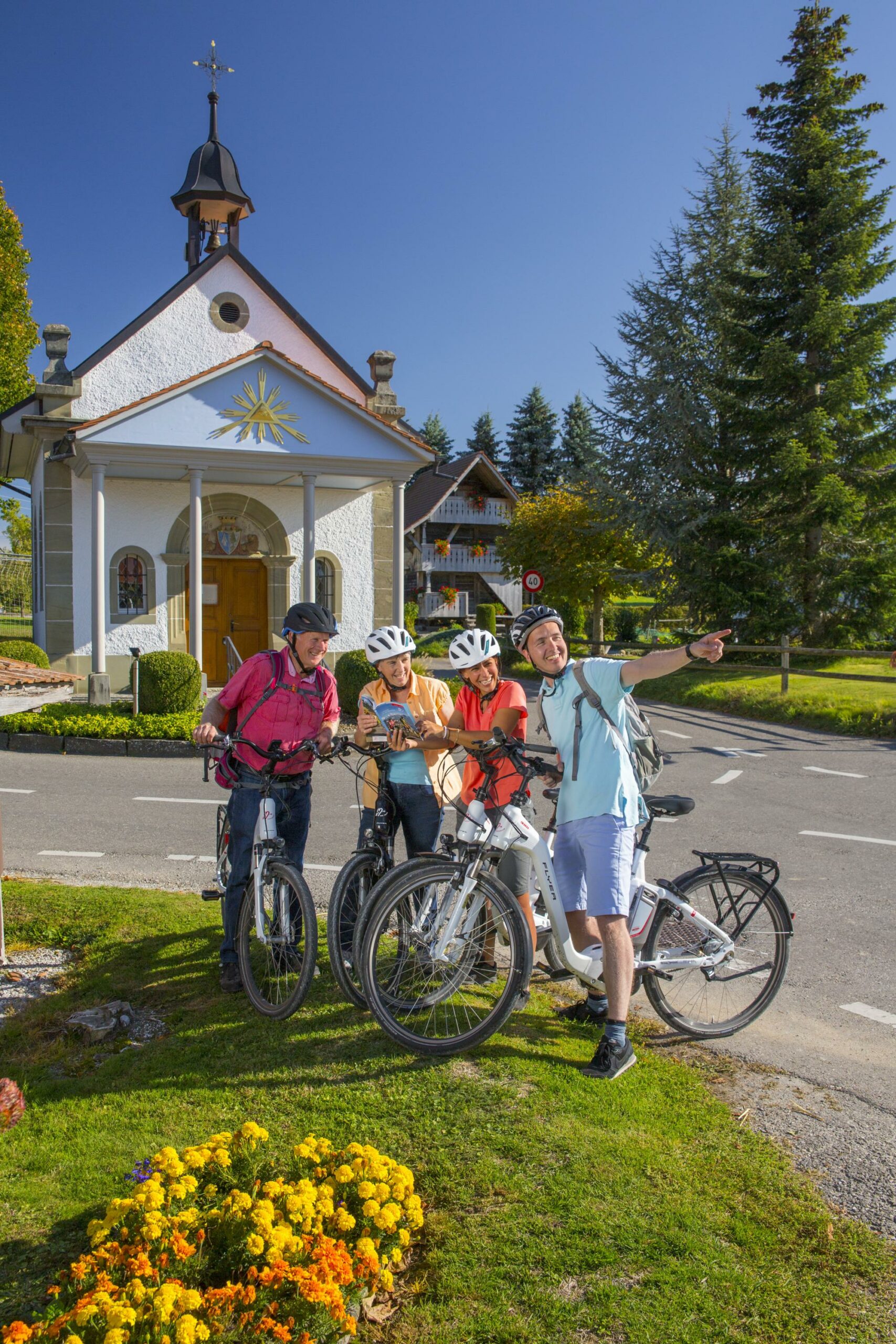
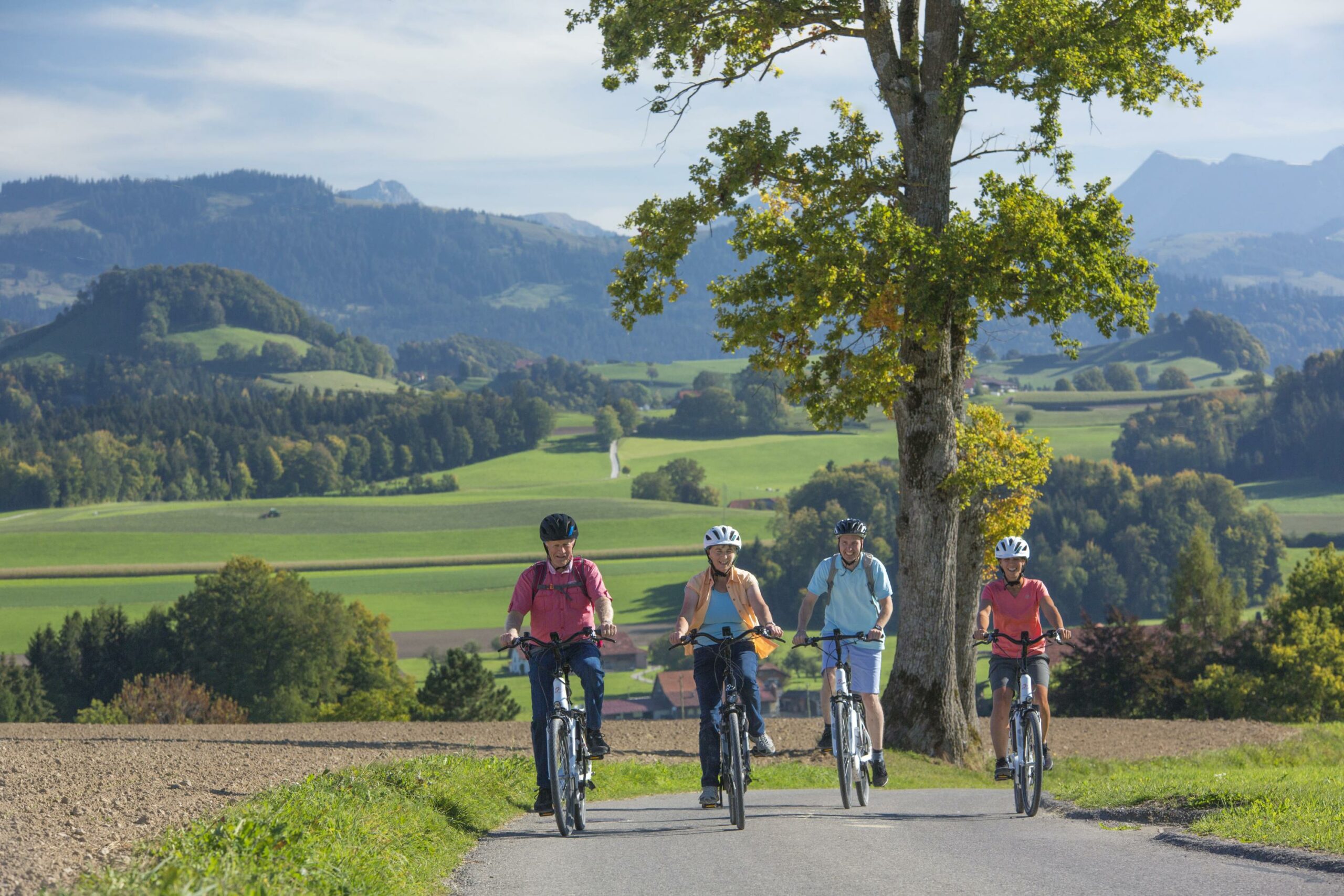
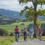
Discover the Sense district on the "Herzschlaufe Sense". The circular tour takes guests to the scenic and varied Sense region. The graceful hills, charming river and beautiful viewpoints promise an enjoyable day by bike or e-bike.

The German-speaking area of the canton of Fribourg enjoys a reputation as an insider tip. Starting from Laupen, thanks to an electric "tailwind" you soon climb the hills and enjoy the first views towards the Jura. River valleys and forest passages show the intimacy of this part of the canton. Among the way you will see several crucifix and chapels.

Information

Herzroute AG
Bahnhofstrasse 14
3400 Burgdorf

In Laupen, FLYER e-bikes can be rented from the specialist Rent a Bike AG. Reservation recommended. On the route there is a battery charger for rental bicycles in Ober Maggenberg at the farm of the family Ulrich, where you can also rest for a moment.

Guests with their own bicycles and e-bikes are also welcome on the Herzschlaufe Sense (carry charger).

Properties of the itinerarie

Type of activity: Sports

Difficulty: Moderately difficult

Duration: 04:00

Distance: 72 km

Ascent/Descent: +1164m / -1163m

Altitude min./max.: 490m / 1001m

Download files

Report an error

More information

We use cookies to provide you with a better experience.

By browsing this site, you accept the Data Protection Policy, as well as the use of cookies to collect statistics for the purpose of continually improving the website.

Close