
The Gantrisch panoramic trail starts from Zollhaus and goes over Hällstett - Horbühlpass - Pfyffe - Gägger - Schüpfenfluh until the Gurnigel Berghaus and finally through the woods to Gurnigelbad.
The Panorama Trail is part of the official Bernese hiking trails. It is listed and signposted on the hiking maps.
From Zollhaus to Gurnigel Berghaus there are new signs with the green “Gantrisch-Panoramaweg” sticker.
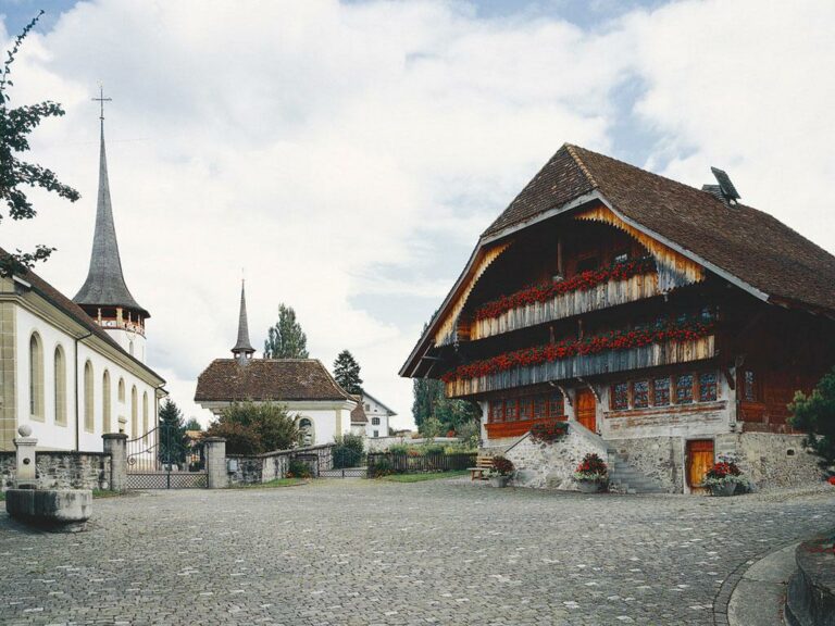
The Gantrisch Panorama Trail is located in the local recreation area of the towns of Bern, Fribourg and Thun and is one of the most beautiful panoramic hiking trails in the Bernese Alpine foothills. This is because the panoramic view to the north extends as far as Feldberg/Germany, to the west a large part of the Jura and the three Jura lakes are visible and to the south first the Bernese Pre-Alps and even further south various snow-capped mountains rise up. To the east, Titlis and Pilatus can be seen among various mountain peaks.
Information
Arbeitsgruppe Gantrisch-Panoramaweg
3150 Schwarzenburg

Properties of the itinerarie
Type of activity: Sports
Difficulty: Moderately difficult
Duration: 07:00
Distance: 22 km
Ascent/Descent: +484m / -1205m
Altitude min./max.: 871m / 1716m