Region of Fribourg

The tourist region of Fribourg offers you unforgettable experiences... Lake, city or mountains, discover a real land of values! From gastronomy through traditions and hikes up to must-sees, let yourself be inspired by the visit of our website.

Discover the region of Fribourg

Fribourg Meeting offers you the possibility to comfortably organize your future seminars or congresses. Our website gives precious hints and tricks to find the ideal place for your next event.

Découvrir la région de Fribourg Die Region Freiburg entdecken

Choose a region

La Gruyère
Fribourg
Estavayer-le-Lac/
Payerne et Région
Region
Murtensee
Schwarzsee -
Senseland
Romont Région
Les Paccots
- La Veveyse

What are you looking for?

Choose a region

Welcome to the website of Fribourg Region and its tourist regions. Please select on the map the region you wish to discover and browse through its offers. We wish you a lot of fun!

swiss map
La Gruyere
Fribourg
Estavayer-le-Lac
Région Lac
de Morat
Schwarzsee-
Senseland
Romont
Les Paccots
You are in the region

Plasselb – Schwyberg – Plasselb

Properties of the itinerarie

Distance: 14 km

Duration: 04:40

Type of activity: Sports

Ascent/Descent: +814m / -814m

Altitude min./max.: 856m / 1644m

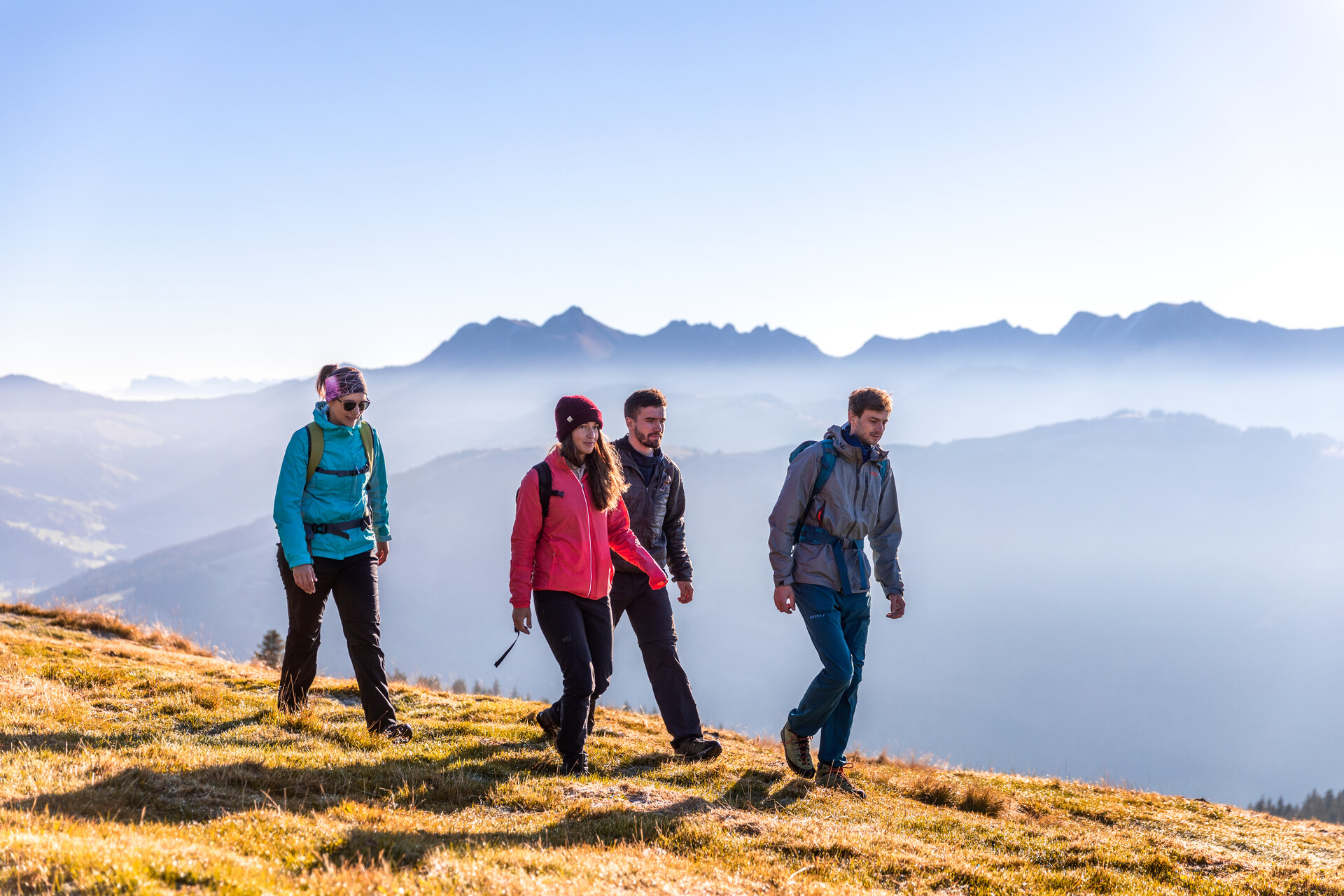
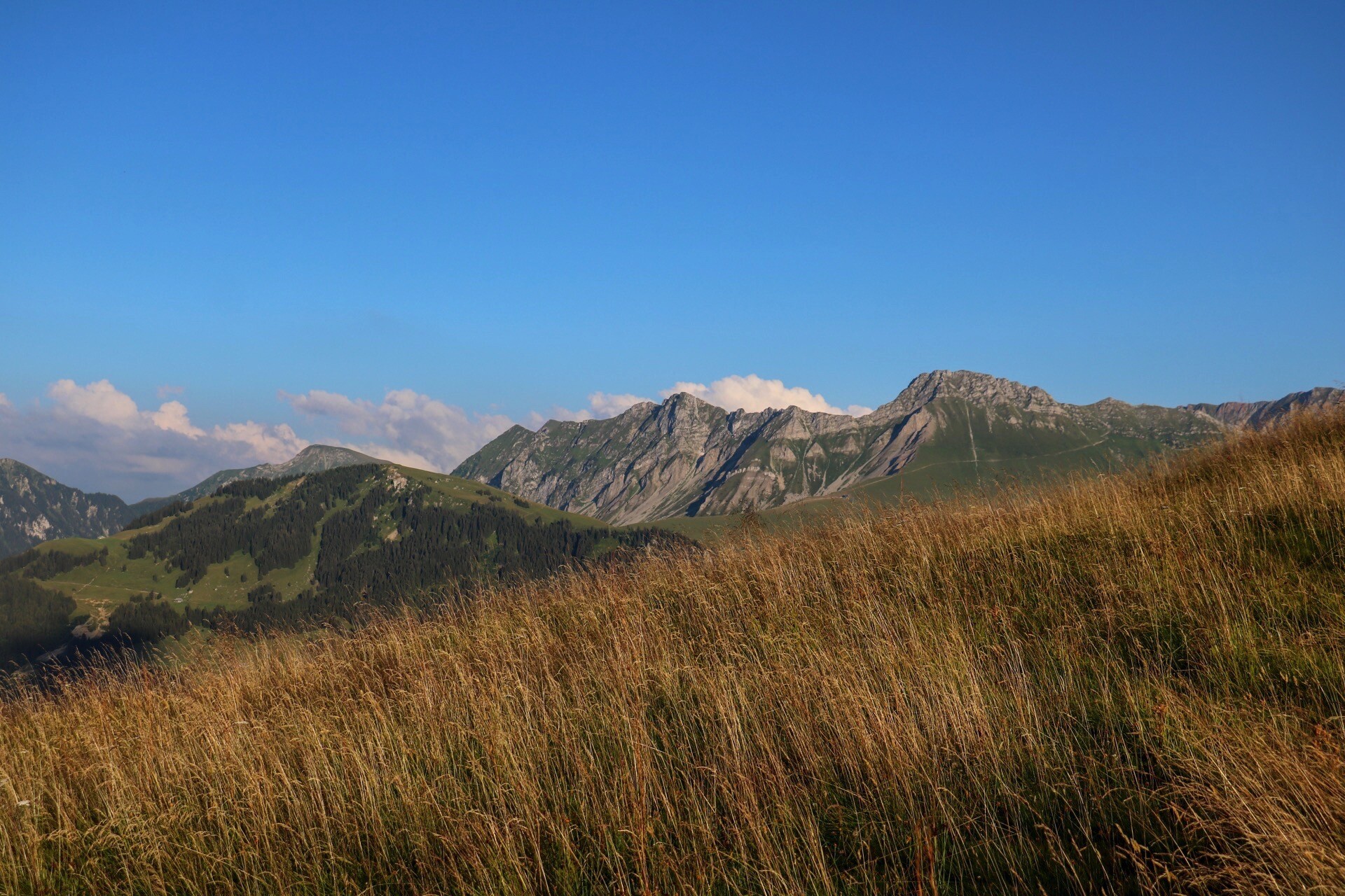
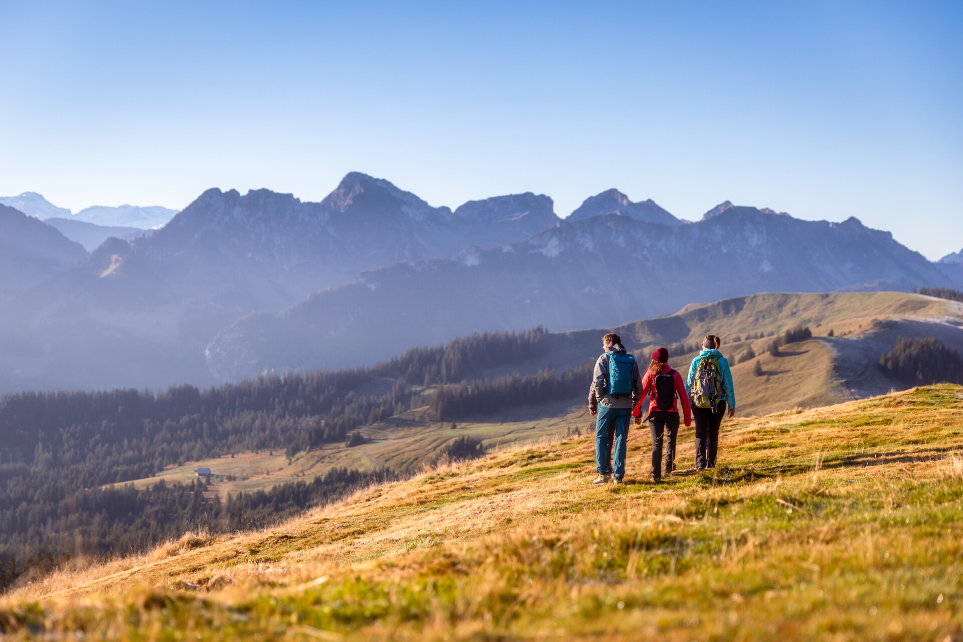
Hike up the Schwyberg and enjoy the view of the peaks around the Schwarzsee, the Bernese snow peaks, the Plasselbschlund to Lake Murten, Lake Neuchâtel and the Jura.

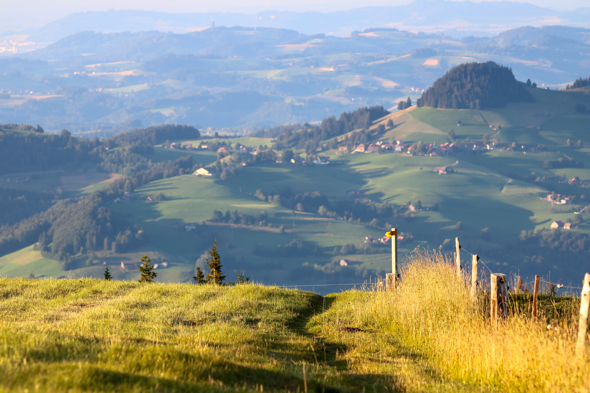
The hike up Plasselb's 'local mountain' takes us after only a few hundred metres away from the asphalt onto a great path through the forest up to the 'Taafela' (contemplative place with Maria statue) and on to Lehmas Bärgli with its view of Ärgera, Sense and the surrounding villages. Via Weiden we continue up to Gross Schwyberg with its panoramic view of the peaks around the Schwarzsee, the Bernese snow peaks, the Plasselbschlund to Lake Murten, Lake Neuchâtel and the Jura. For the descent, we choose the west side of the Schwyberg via Obere Baretta to the forest path that brings us back to Plasselb.

Accessible by public transport: Yes
Accessible by car: Yes

Altitude difference: 850 m / - 850 m

Properties of the itinerarie

Distance: 14 km

Duration: 04:40

Type of activity: Sports

Ascent/Descent: +814m / -814m

Altitude min./max.: 856m / 1644m

Download files

External links

Report an error

More information