
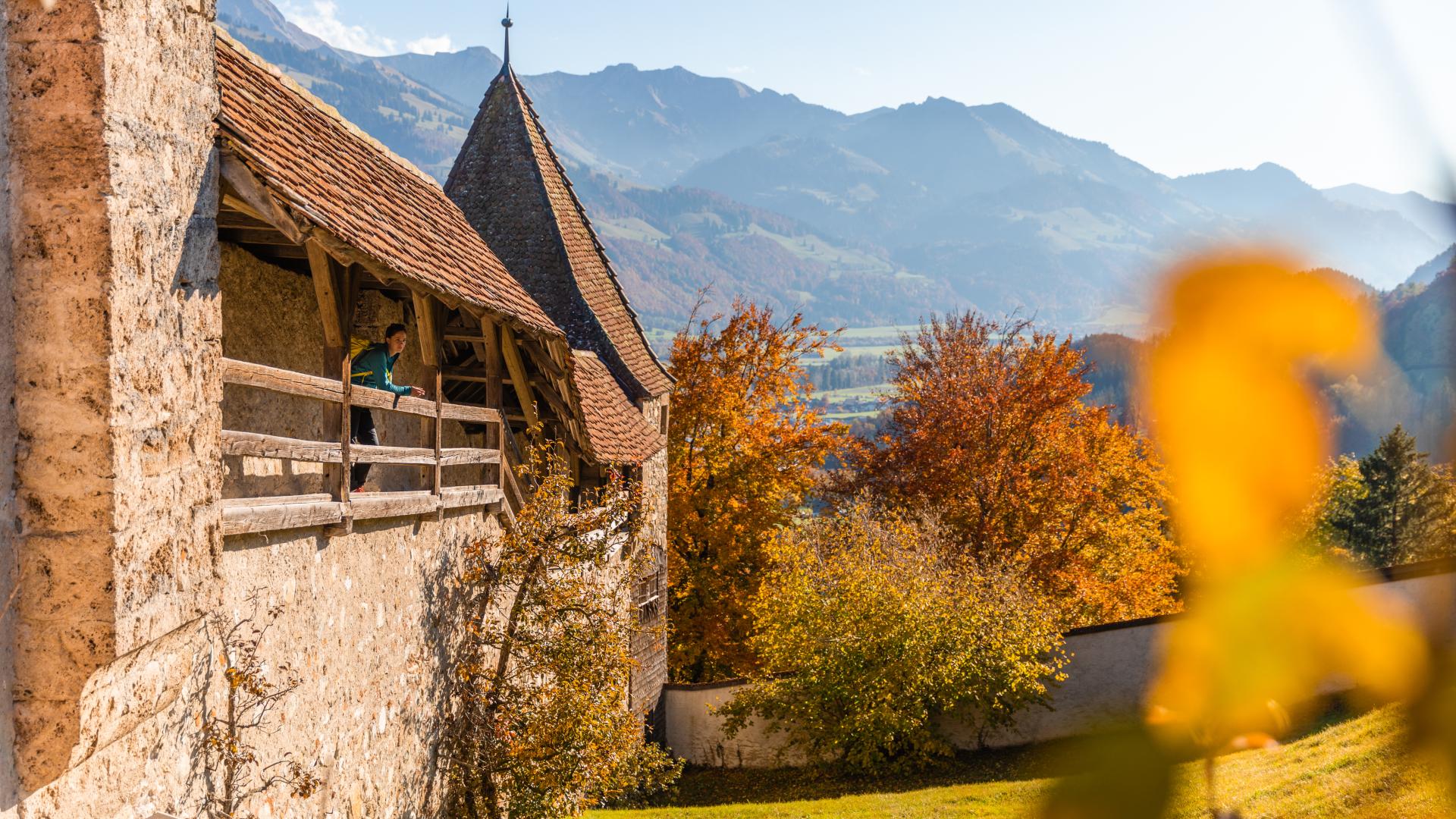
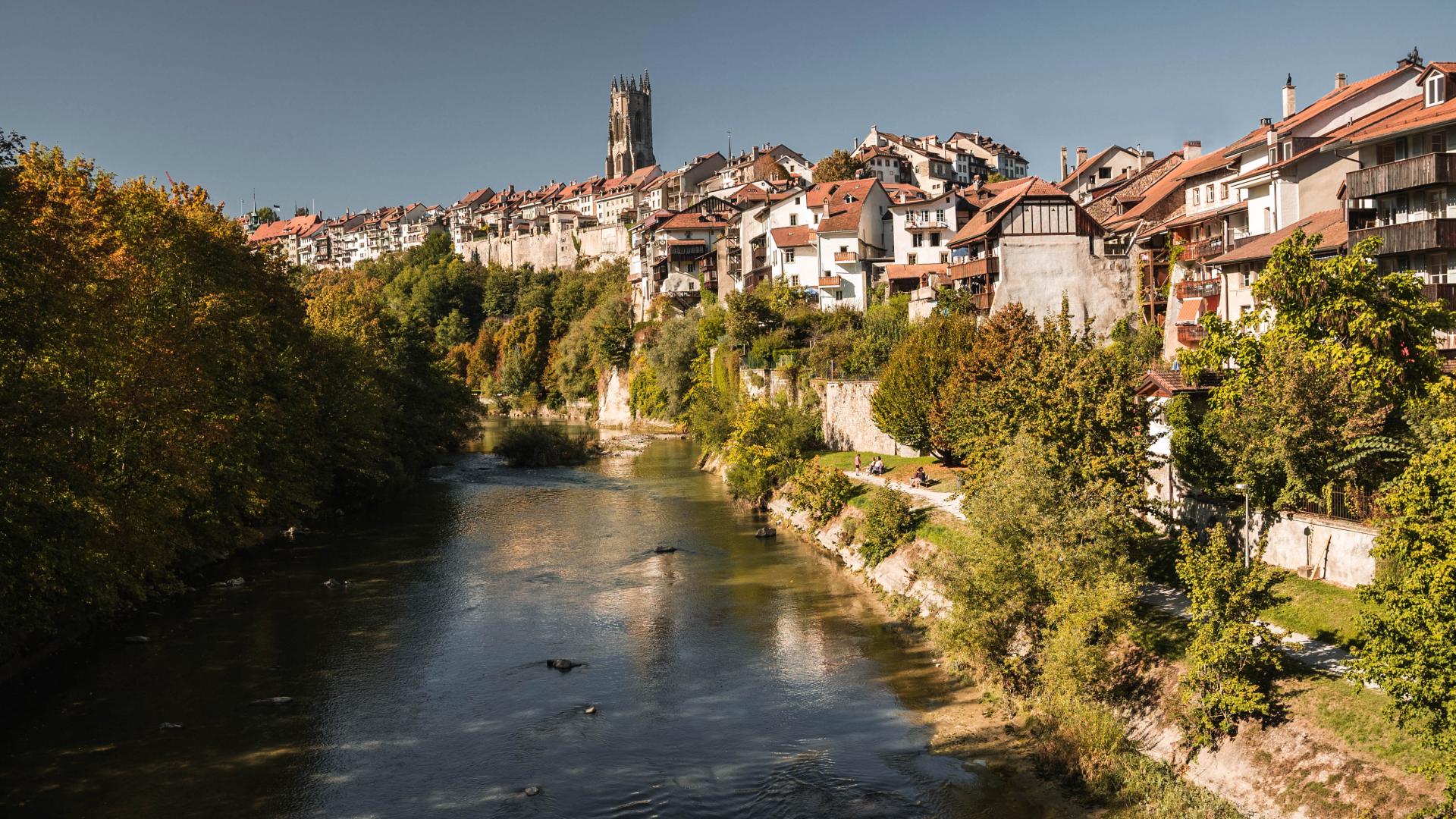




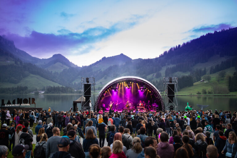
The Sensory and Sound Trail offers two varied hikes that combine nature, sound, and sensory experiences around Düdingen, Lake Schiffenensee, and Freiburg-Poya.
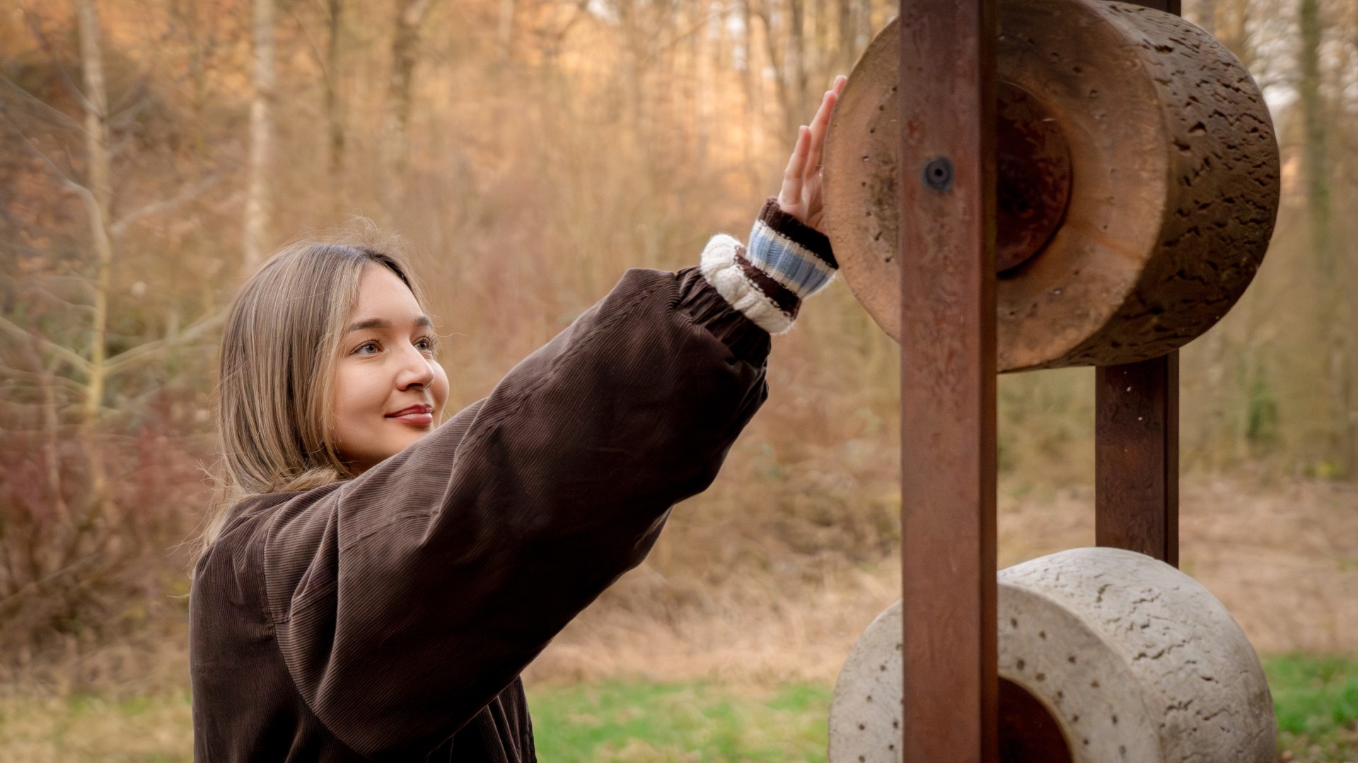
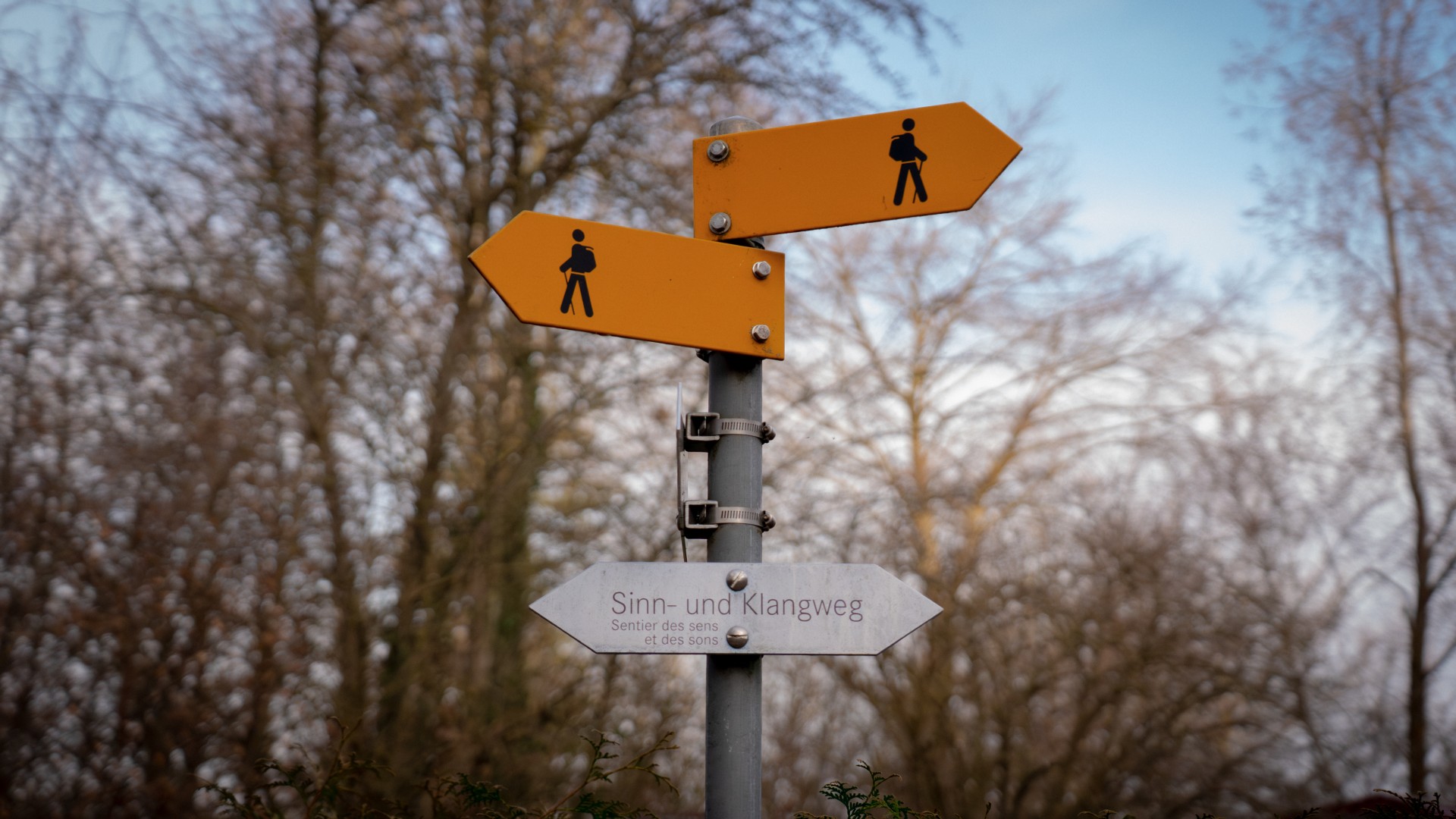
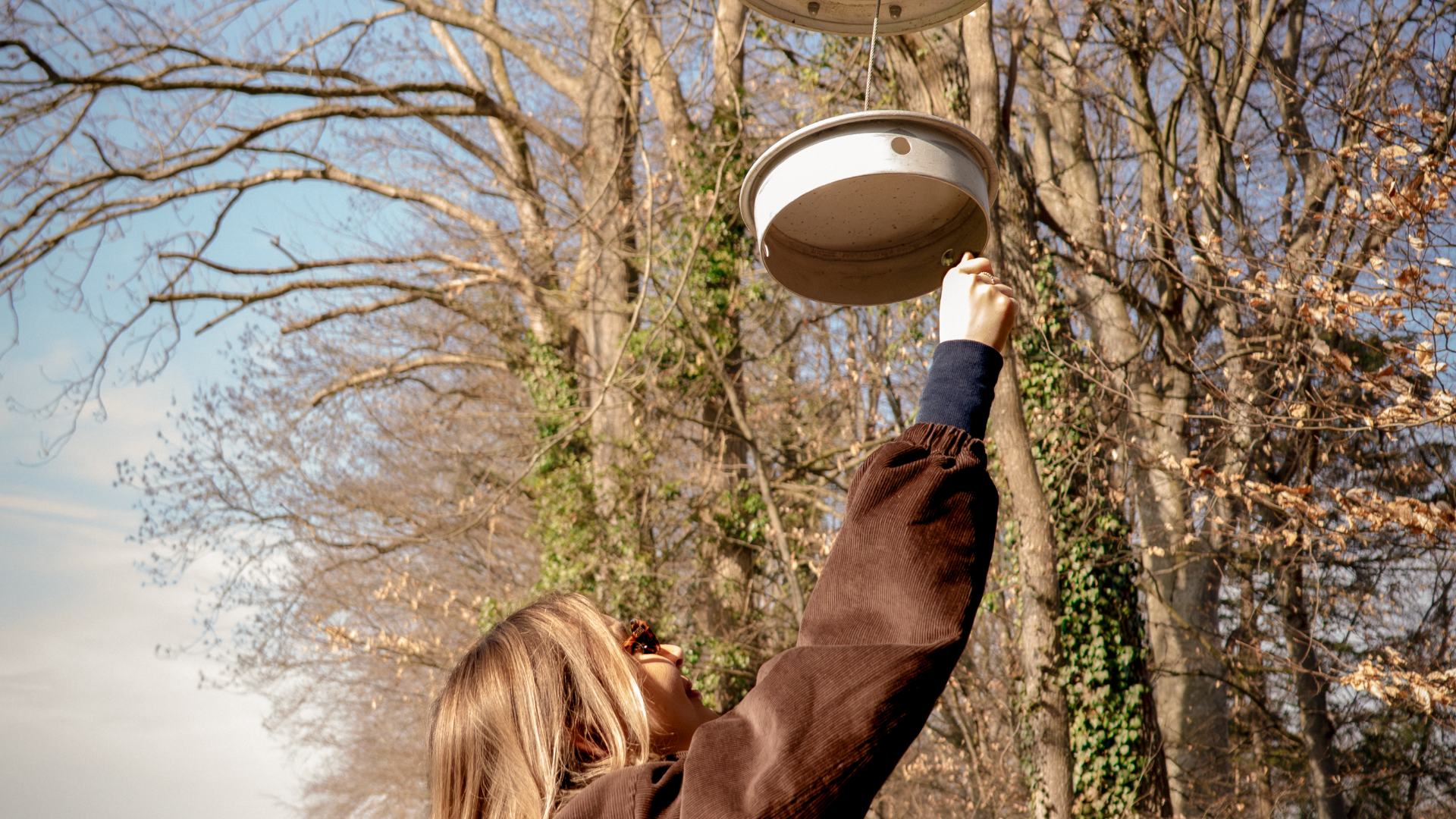
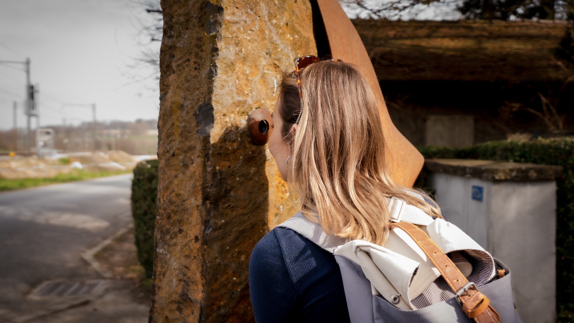
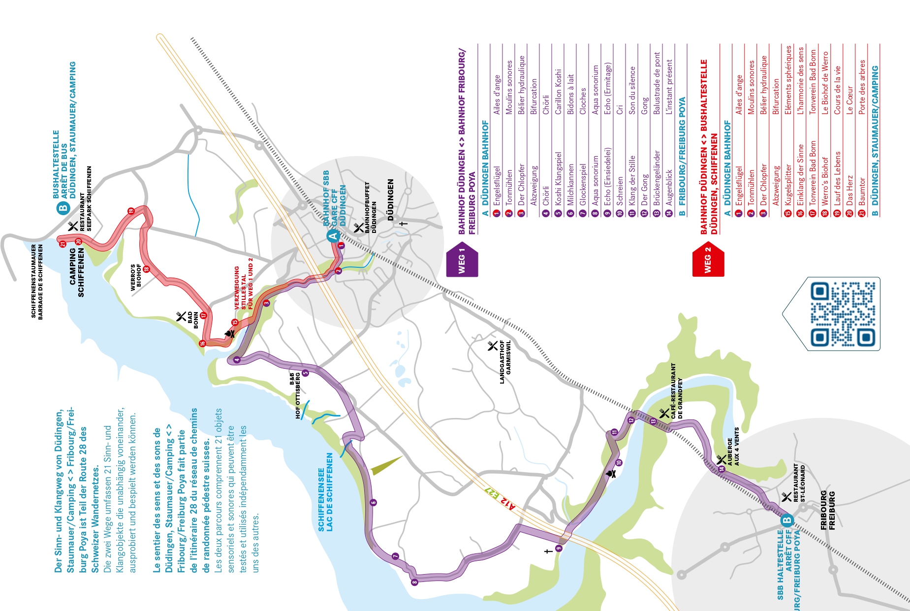
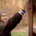
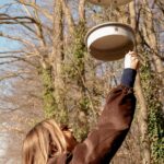
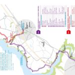
The Sensory and Sound Trail consists of two different routes: Düdingen–Freiburg Poya and Düdingen–Camping Schiffenen. Both trails wind through a diverse natural landscape and invite visitors to experience sound, tranquility, and movement in a unique way. Along both routes, there are a total of 21 interactive sensory and sound installations that invite you to explore, experiment, and linger. The hikes combine nature experiences with creative sound installations and are suitable for all ages—in any weather.
Information
Düdingen Tourismus
Postfach 308
3186 Düdingen
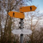
- Route options: Düdingen Train Station – Fribourg/Freiburg Poya (approx. 11 km) or Düdingen Train Station – Schiffenen Campground (approx. 6.6 km)
- Starting and ending points: Depending on the route chosen, Düdingen Train Station, Fribourg/Freiburg Poya, or the Düdingen bus stop at the dam/campground
- Getting there: Easily accessible by public transportation.
- Note: The trail is not suitable for strollers.



Properties of the itinerarie
Type of activity: Family
Difficulty: Very easy
Duration: 03:00
Distance: 10 km
Ascent/Descent: +475m / -536m
Altitude min./max.: 532m / 610m
Itinerary type
- Family hike
- Educational hike
- Along the water