
Explore the Two Valleys Hike at Schwarzsee in the Fribourg Pre-Alps: alpine meadows, forests, and panoramic views across the Brecca Valley.
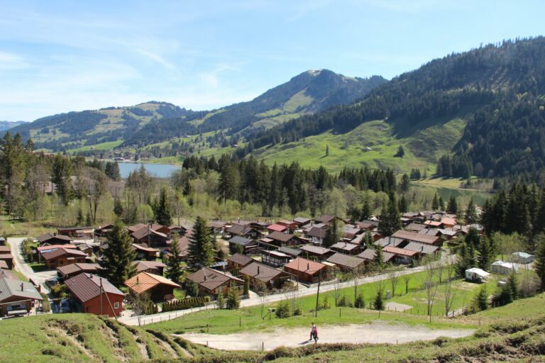
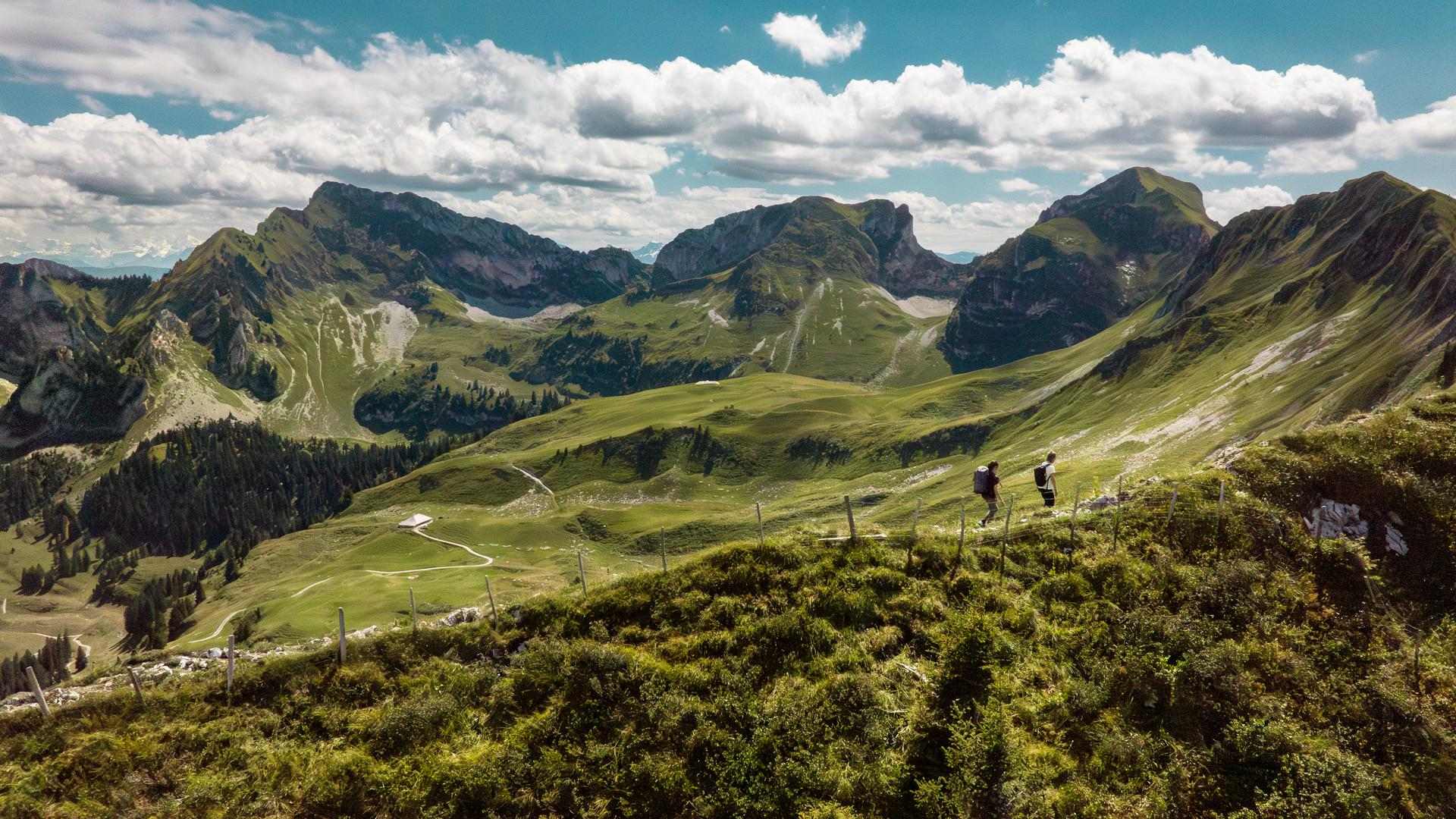
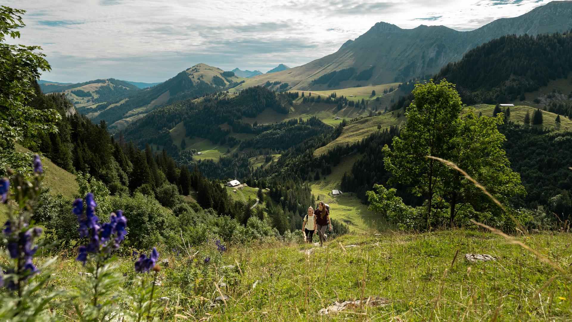
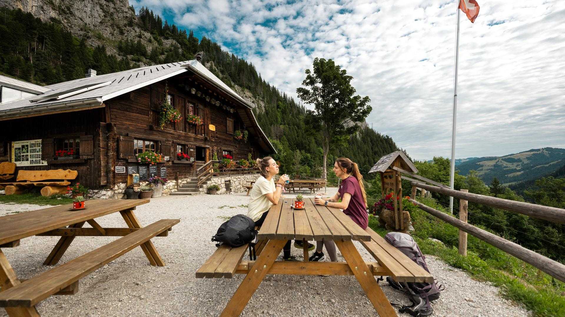
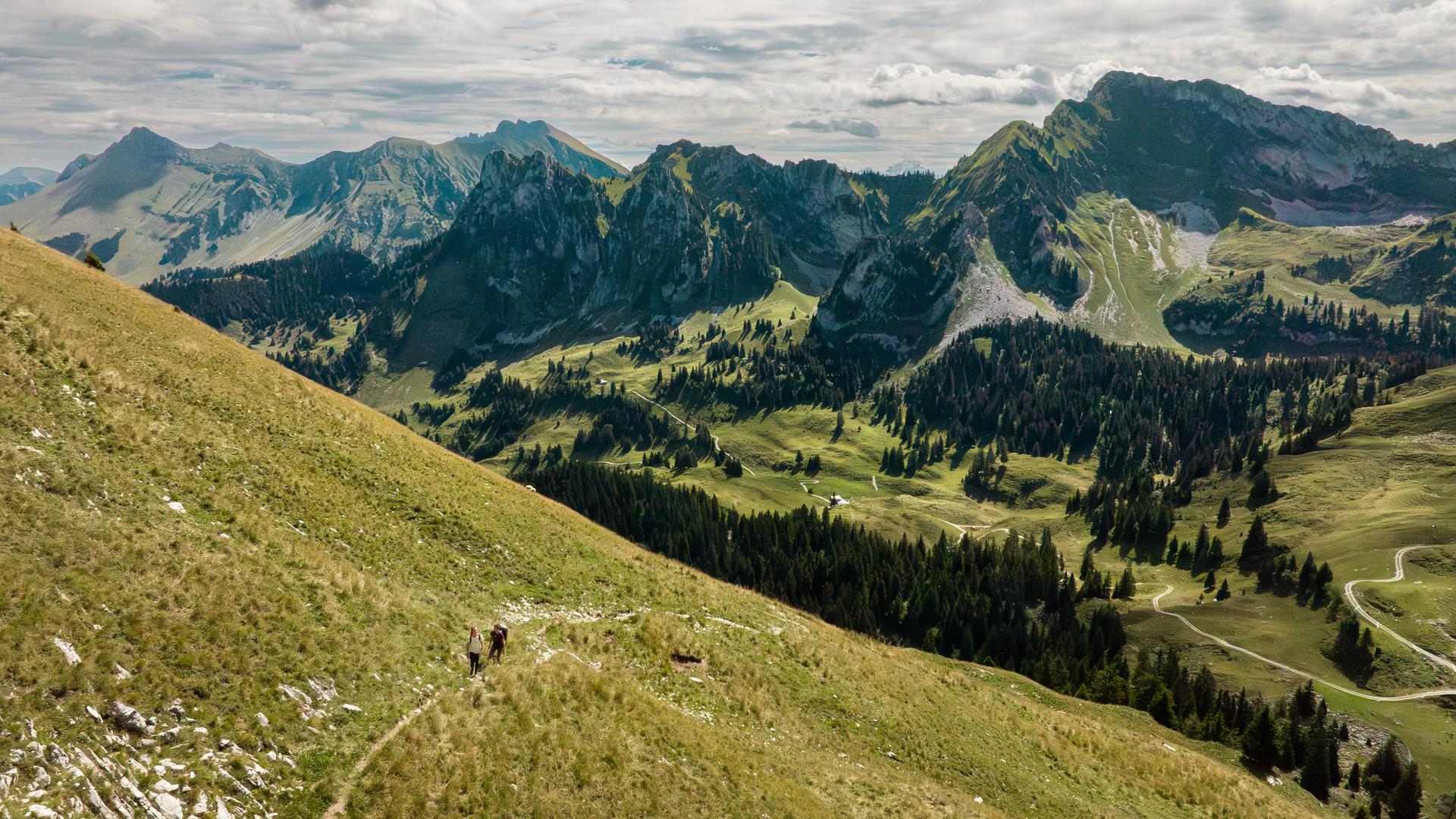
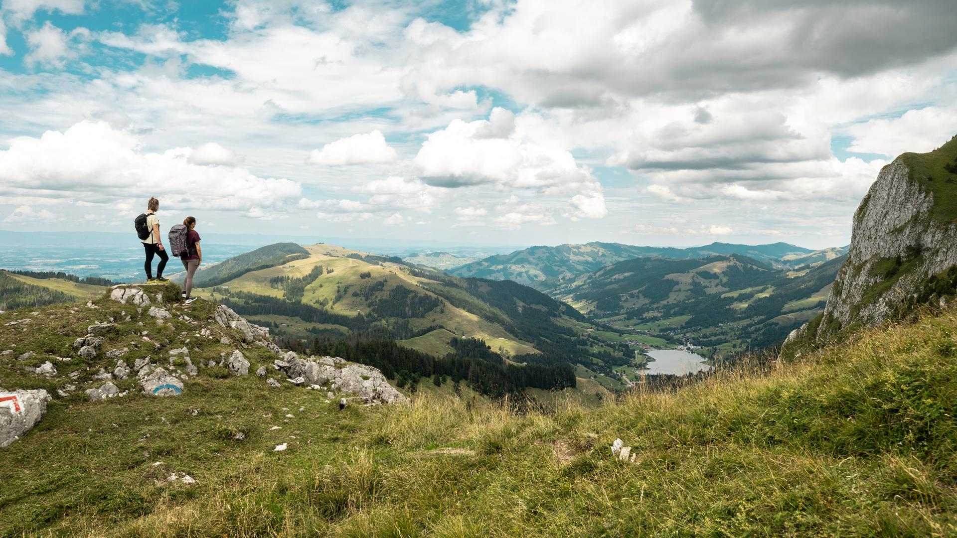
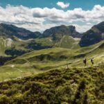
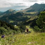
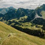
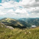
The Two Valleys Hike at Schwarzsee is an impressive panoramic trail leading through two characteristic pre-Alpine valleys. This varied route showcases the diverse landscapes of the Fribourg Pre-Alps, with green alpine meadows, mountain forests and wide-ranging views of the surrounding peaks.
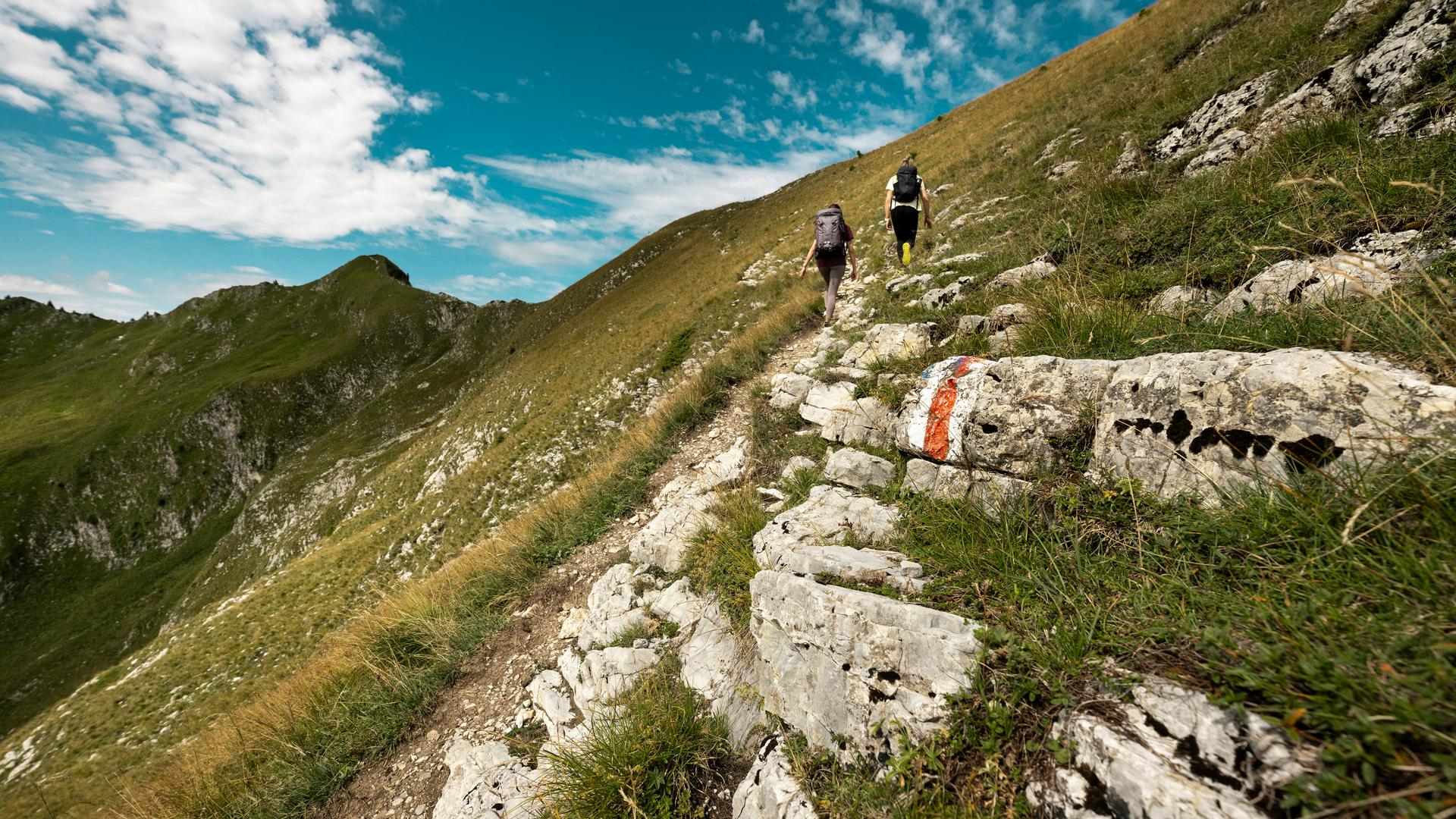
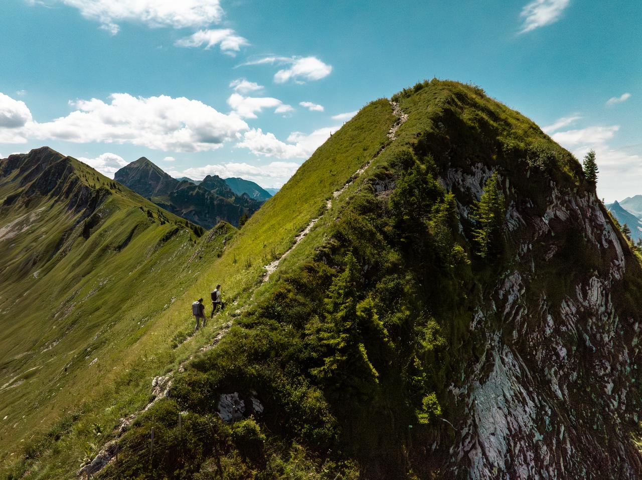
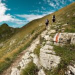
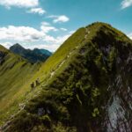
Above the wild Brecca Valley rises the striking rocky ridge of Les Recardets, which also marks the linguistic border between German- and French-speaking Switzerland. This scenic circular hike starts at Schwarzsee and follows the northern side of the Recardets up to the Pas de Chamois, below the Patraflon. The trail then crosses the rocky ridge before descending through the Brecca Valley back to Schwarzsee.
Although the hike is not technically difficult, it requires good footing and is best suited to hikers who feel comfortable on uneven alpine terrain.
Information
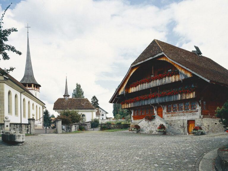
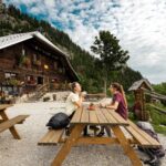
Schwarzsee – Senseland Tourismus
Schwarzseestrasse 212
1716 Schwarzsee
Start: «Schwarzsee, Campus» bus stop
Places along the way: Schwarzsee Campus - Ober Recardets - Patraflon - Bremigard - Unteri Rippa - Wälschi Rippa - Schwarzsee Campus
Properties of the itinerarie
Type of activity: Sports
Difficulty: Moderately difficult
Duration: 04:35
Distance: 10 km
Ascent/Descent: +928m / -930m
Altitude min./max.: 1056m / 1910m
Itinerary type
- Loop itinerary
- Scenic hike
- Hike to the summits