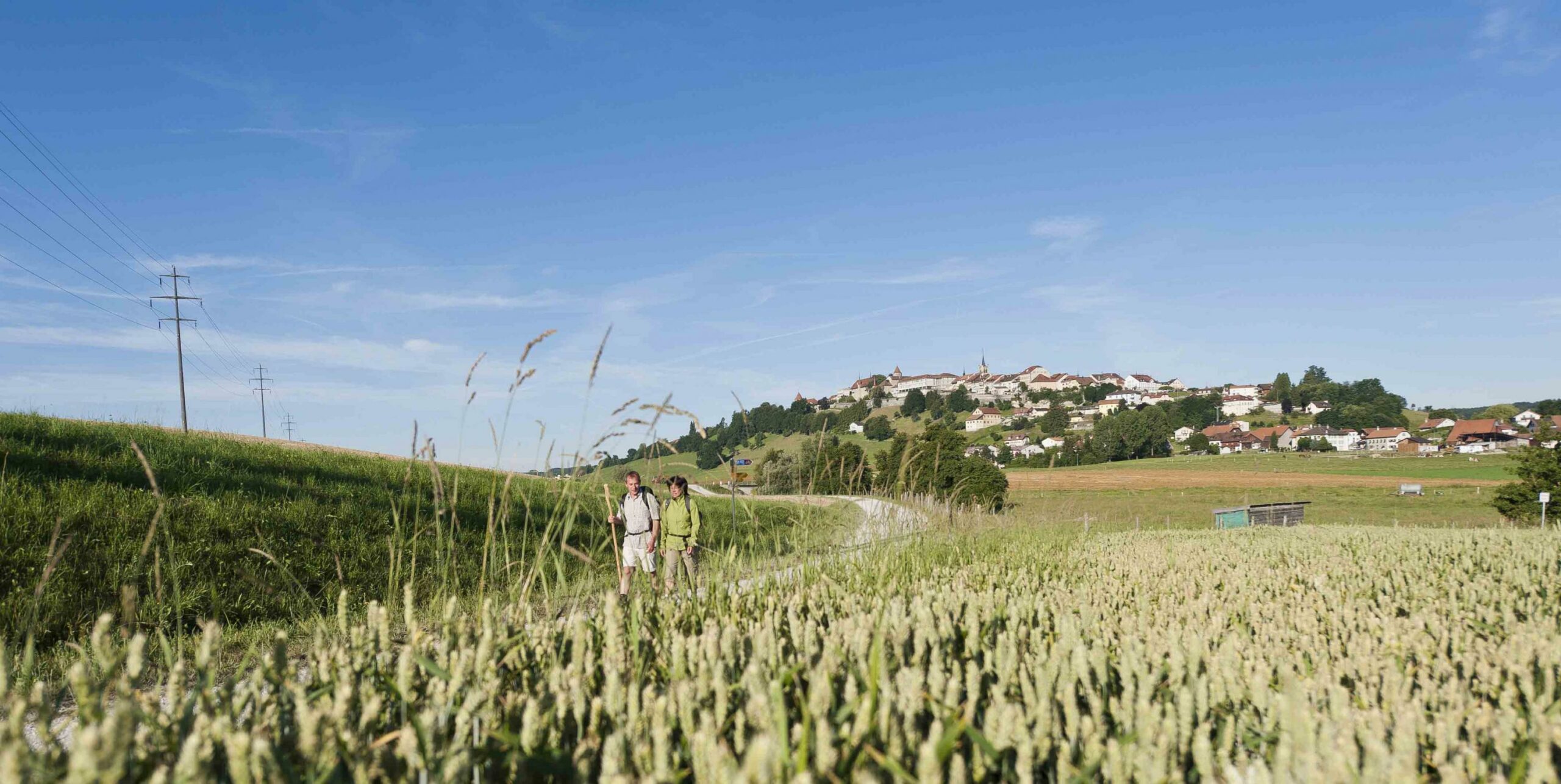
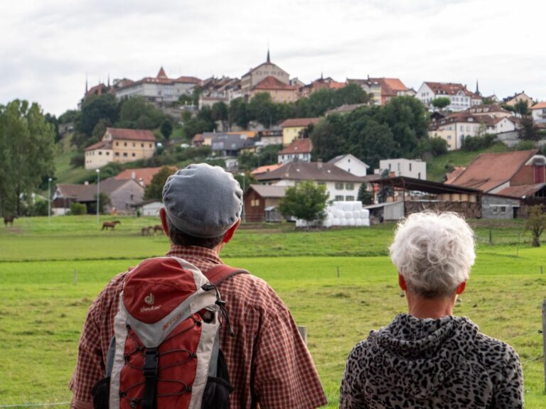
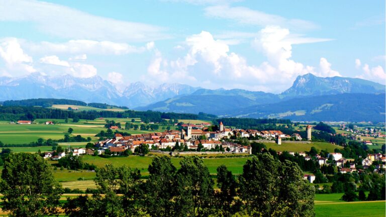
From Romont to Châtel-St-Denis, this charming hike, through valleys, fields and forests, along rivers and streams, links the capitals of the two districts of Glâne and Veveyse.
Start from the Tourist Office and follow the ViaJacobi n°4 for about 800 m. Turn left at the intersection and follow the "sentier vitrail" (stained glass path). Then follow the river of the Glâne in the direction of Villaraboud. Continue southwards along the Gotto river to reach Lieffrens.
Cross the "Bois de six Ecus", continue south, then pass through the high plateau of the Ecasseys, on the dividing line of the waters flowing either towards the Rhone or the Rhine. Cross the bridge on the La Joux-Porsel road, go down towards the Flon stream which delimits the two districts, then go up to the village of Le Crêt.
Continue south, cross the cantonal road. Walk on a campaign path and a forest path to reach the smal village of Grattavache. Go down towards the stream, follow it for about 300 m, then go up through fields towards the village of Progens. Go down through fields and woods in the valley where the Broye river flows, turn right, turn right again, then after the bridge over the Broye, turn right. Follow the road to Remaufens via the Crêt and continue eastwards to reach the TPF station at Châtel-St-Denis.
Accessible by public transport: yes | Nearest bus or train stop: Romont FR gare (train), Romont FR poste (bus)
Properties of the itinerarie
Type of activity: Sports
Difficulty: Challenging
Duration: 06:00
Distance: 23 km
Ascent/Descent: +602m / -574m
Altitude min./max.: 693m / 940m


