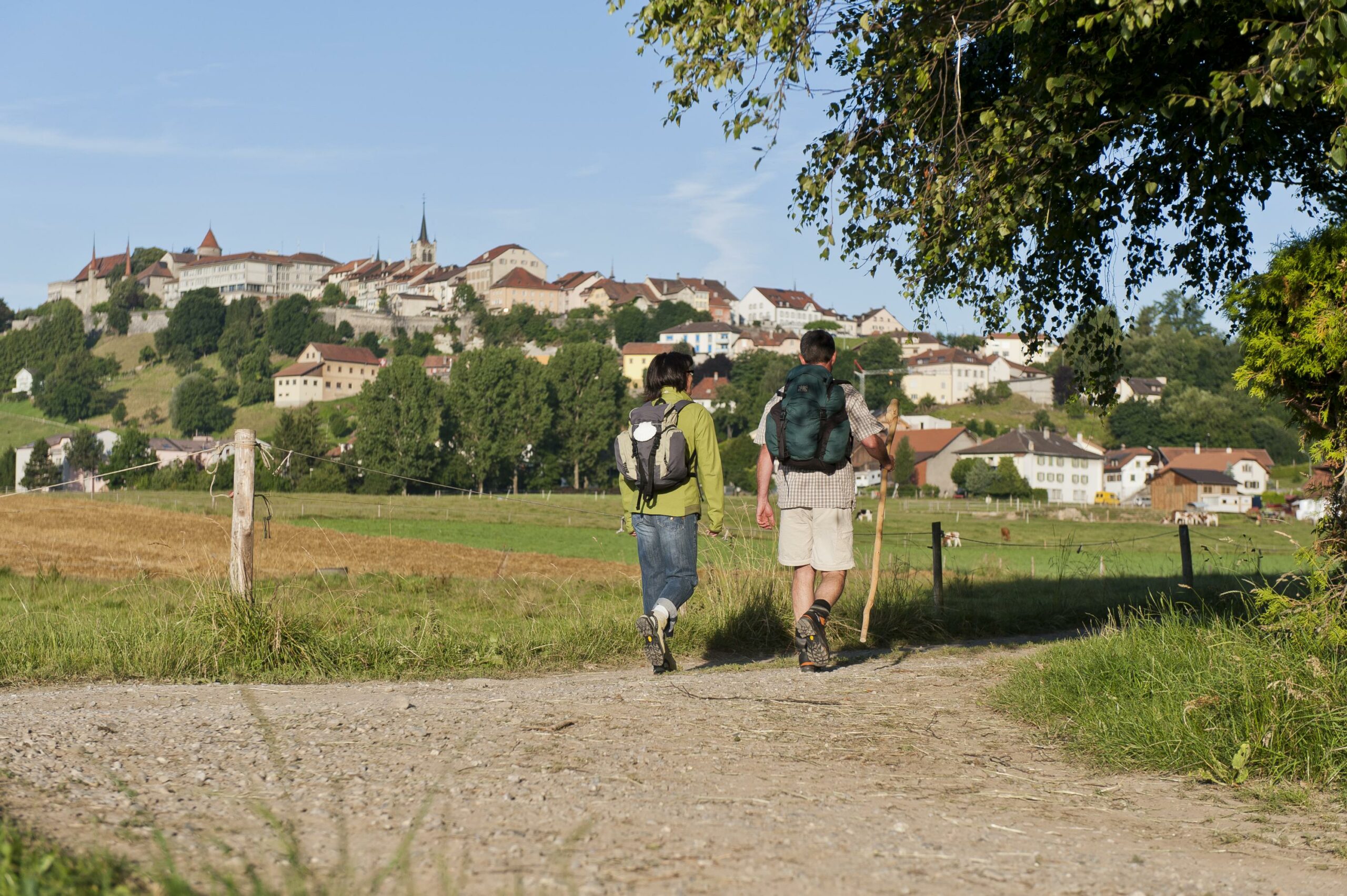
Romont - Oron-la-Ville
An easy, pleasant walk offering beautiful panoramic views over the Pre Alps and the Jura.
From the Tourist Office, follow ViaJacobi 4 to the railway tracks. Cross them, then turn right and go in the direction of the Bois du Glaney. Cross the wood and go on to Villaranon. Continue in the direction of Pra Cachet as far as the Siviriez-Brenles road, follow it to the right for about 300m, then take a path to the left which follows the ridge separating the Glâne and La Broye valleys. On one of the milestones dated 1696 marking the border between the canton of Vaud and the canton of Fribourg, formerly between the Helvetic Republic and France, can be found there.
At Le Saulgy, walk alongside the forest, cross the lane that links the hamlet to Esmonts, then follow the Siviriez-Ursy road and go up to Bionnens. Continue across the fields, then through the forest until you reach the crossroads, point 801, turn left then right until you reach the chapel of La Gotta, situated about 300m before the hamlet of Fin de Vau and built in 1899, recalling the burial place of inhabitants of Mossel who fell victim to the Black Death epidemic in 1636.
While enjoying the view of the Moléson, the Dent de Lys and the Alps, reach the Oratoire St-Joseph then the village of Chapelle (Glâne).
Head south and take the path that zigzags towards the railway line. Once you have crossed the tracks, at the next intersection, turn left to reach the SBB/CFF station and the castle or right to reach Oron-la-Ville.
Accessible by public transport: yes | Nearest bus or train stop: Romont FR gare (train), Romont FR poste (bus)
Properties of the itinerarie
Type of activity: Sports
Difficulty: Moderately difficult
Duration: 05:00
Distance: 20 km
Ascent/Descent: +453m / -600m
Altitude min./max.: 633m / 874m