Region of Fribourg

The tourist region of Fribourg offers you unforgettable experiences... Lake, city or mountains, discover a real land of values!


Fribourg Meeting offers you the possibility to comfortably organize your future seminars or congresses.

Choose a region

La Gruyère
Fribourg
Estavayer-le-Lac
Region
Region
Murtensee
Schwarzsee -
Senseland
Romont Région
Les Paccots
- La Veveyse

What are you looking for?

Choose a region

Welcome to the website of Fribourg Region and its tourist regions. Please select on the map the region you wish to discover and browse through its offers. We wish you a lot of fun!

swiss map
La Gruyere
Fribourg
Estavayer-le-Lac
Region
Région Lac
de Morat
Schwarzsee-
Senseland
Romont
Les Paccots
You are in the region
Search

Schwarzsee – Brecca valley small tour

Properties of the itinerarie

Type of activity: Sports

Difficulty: Easy

Duration: 02:50

Distance: 10 km

Ascent/Descent: +289m / -726m

Altitude min./max.: 1046m / 1510m

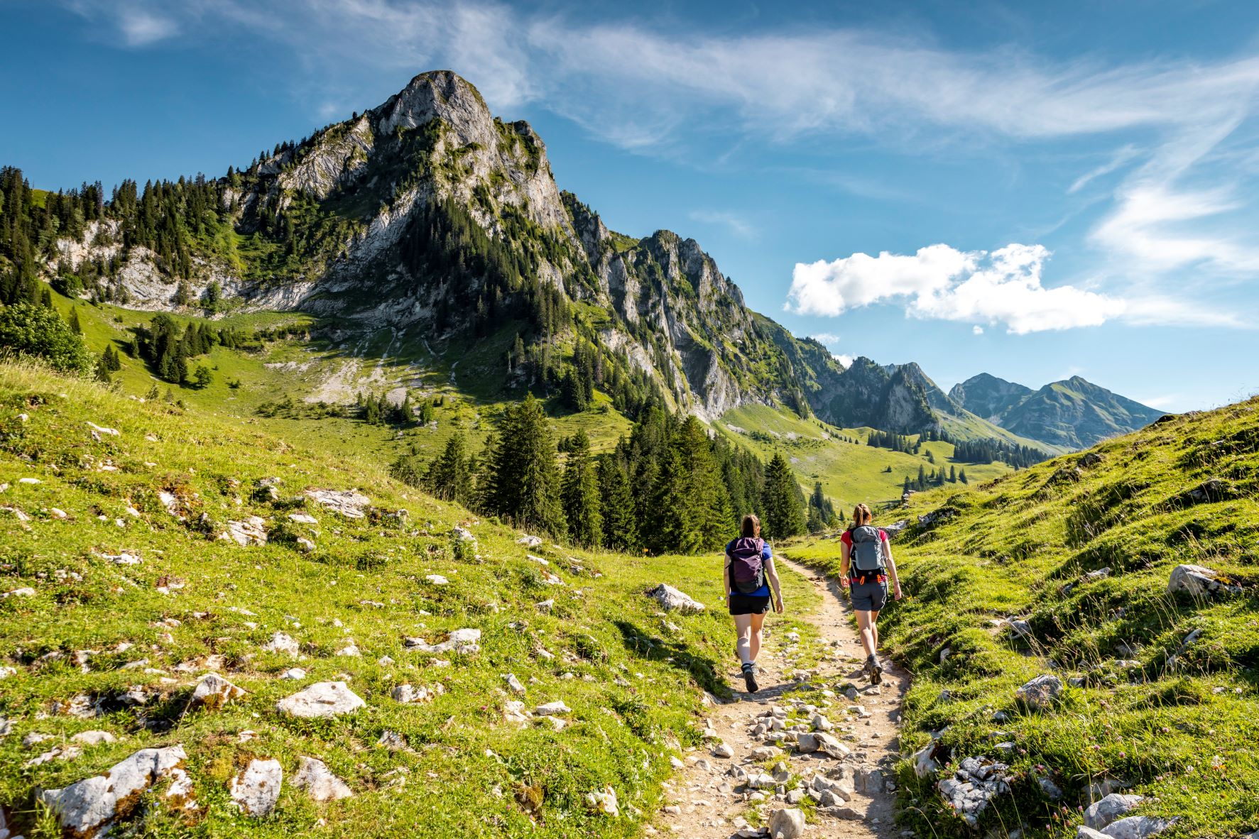
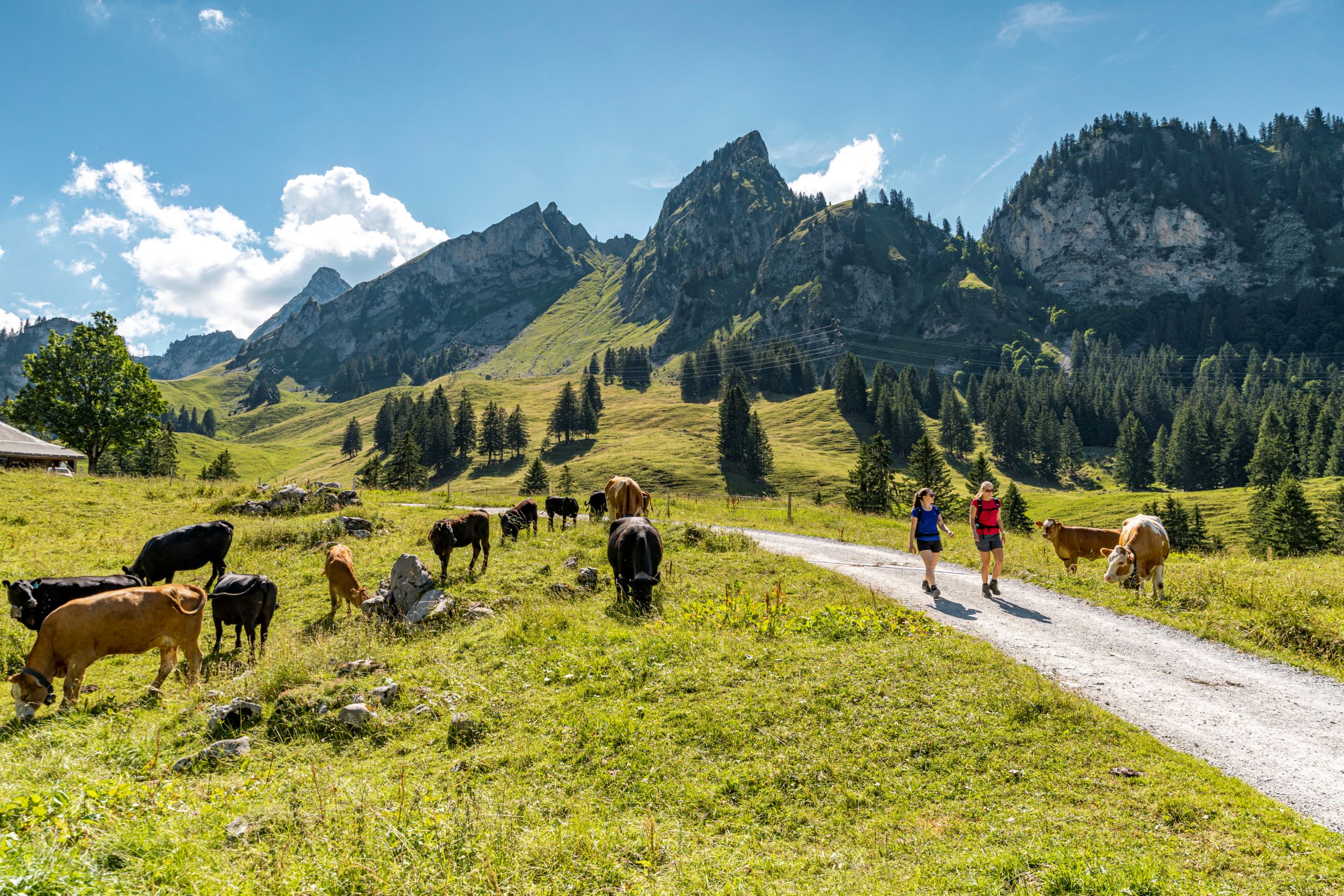
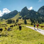
From Riggisalp, take the «Höhenweg» towards la Brecca, one of the most beautiful alpine valleys, carved out by the glaciers tens of thousands of years ago.

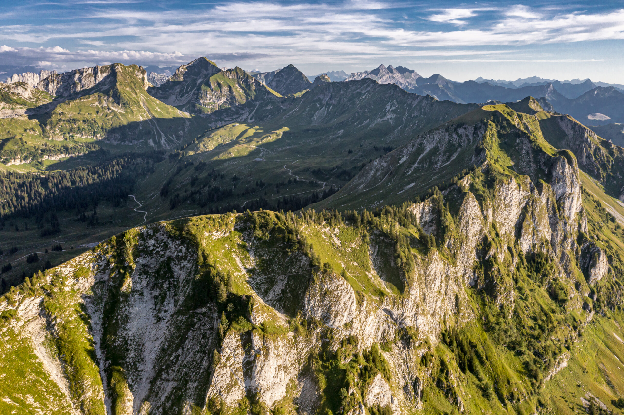
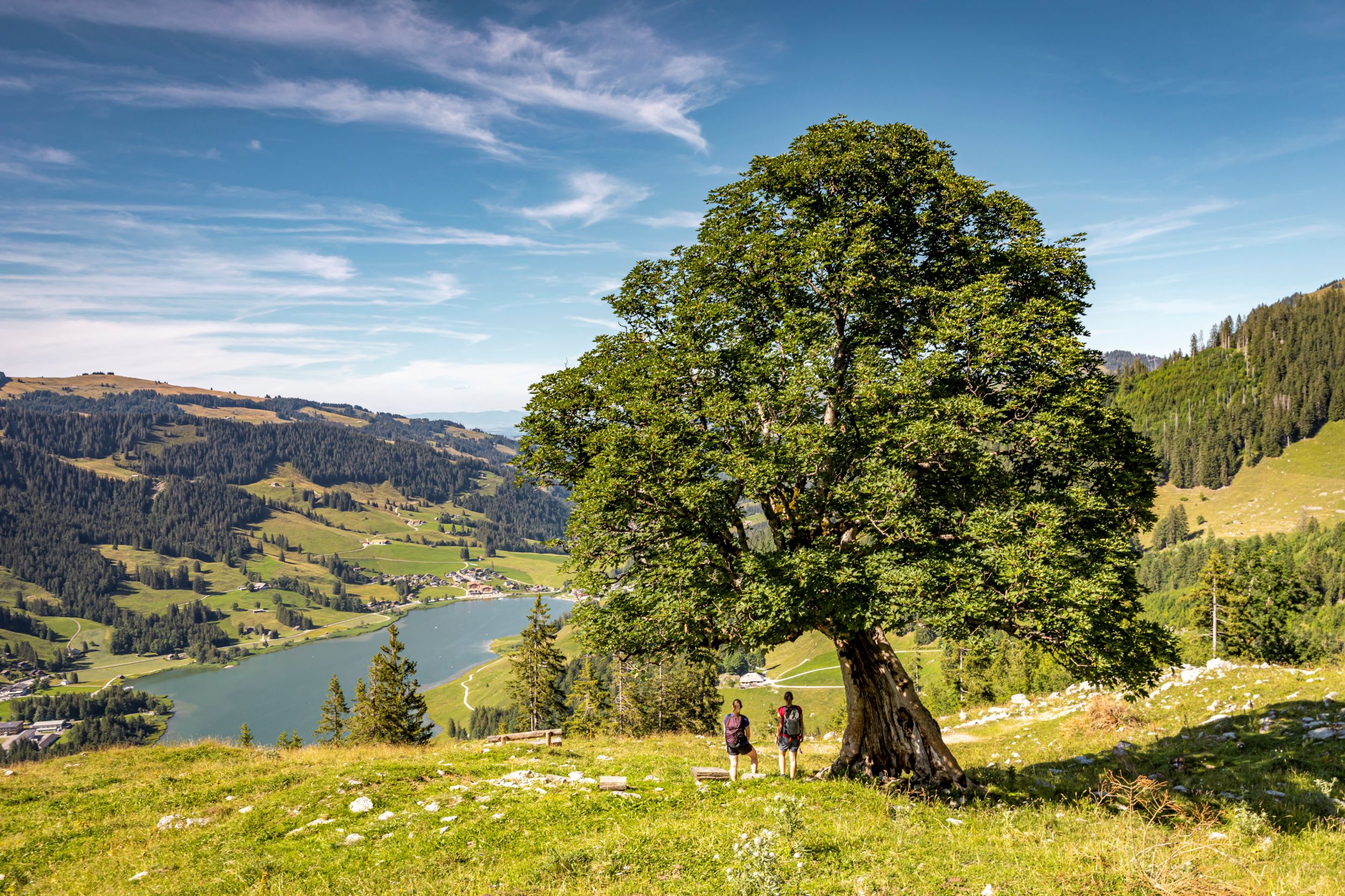
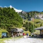
From Schwarzsee (1047 m a.s.l.) you can easily reach the Bärghuus Riggisalp at 1493 m a.s.l., the starting point for the Breccaschlund circular hike, by chairlift. After just a few steps on the panoramic path, you are right in the middle of the mountain arena between Charmey, Jaun and Schwarzsee.

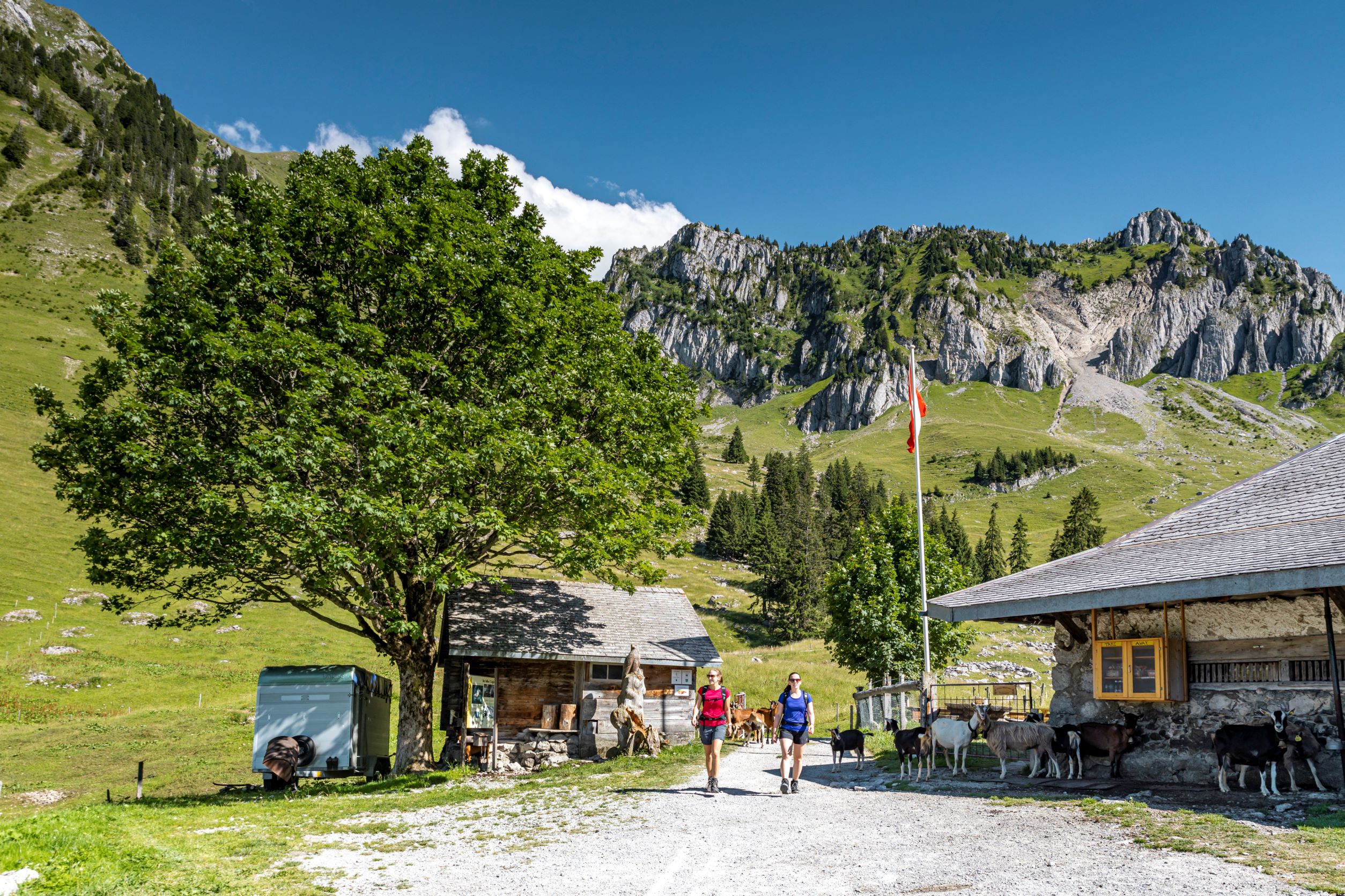
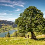
You will be amazed at the many sycamore trees that can be found in the primeval landscape of Brecca: not exactly large, but with striking shapes. Likewise, the chamois, marmots and alpine flowers along the way will delight not only children!

There is also no shortage of rustic inns along the way. From cheese to coffee to a cool drink. Whether to recharge your batteries or simply to enjoy nature. The alpine huts have everything a hiker's heart desires.

Accessible by public transport: Yes
Accessible by car: Yes


Properties of the itinerarie

Type of activity: Sports

Difficulty: Easy

Duration: 02:50

Distance: 10 km

Ascent/Descent: +289m / -726m

Altitude min./max.: 1046m / 1510m

Download files

Report an error

More information

We use cookies to provide you with a better experience.

By browsing this site, you accept the Data Protection Policy, as well as the use of cookies to collect statistics for the purpose of continually improving the website.

Close