


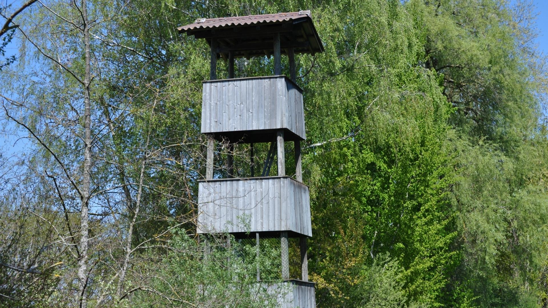
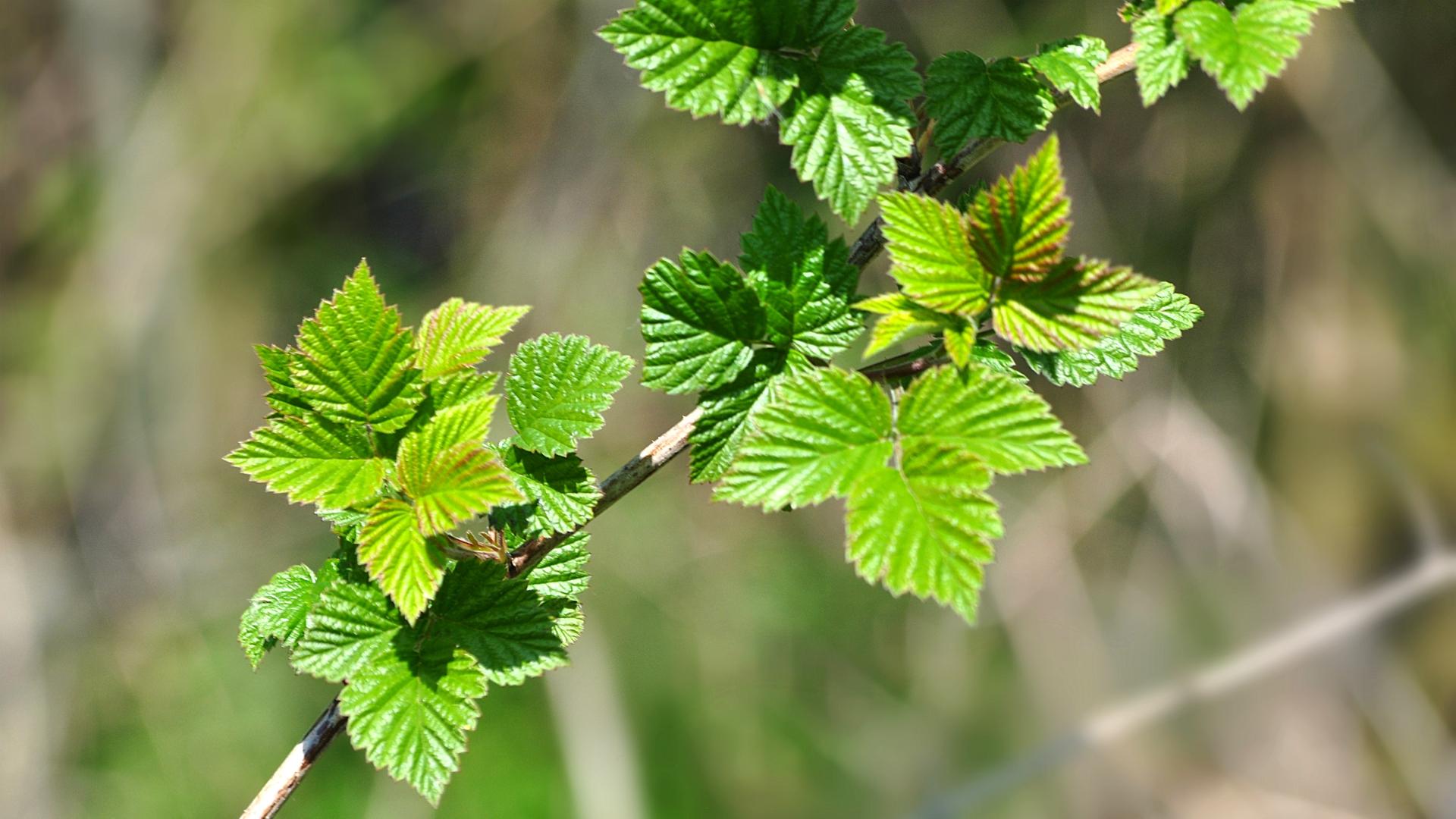
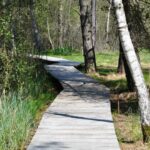
Visitors can discover 60 local marsh, open field and woodland plants along the 1.5 hour walk. The trail is characterized by a variety of sites, which are each home to different species. Each plant is visualized and described on a board.
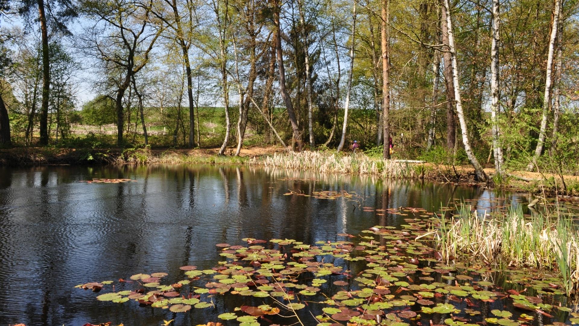
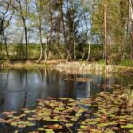
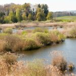
Düdingen marshlands cover approximately 22 hectares. Locally 7 different geographical names are used to denote separate parts of the lands: Düdingen Moos (in the stricter sense), Ottisbergmoos, Garmiswilwil, Hexenweiher, Tiefmoos and Waldeggmoos.
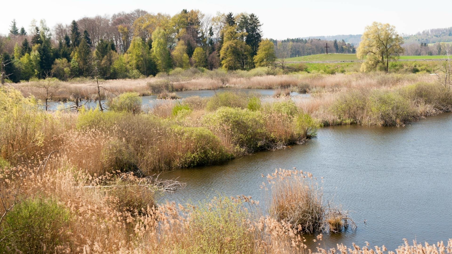
The marshlands were formed in the last ice age. 18,000 years ago the Rhone glacier covered our region. 14,000 years ago, temperatures were rising and the ice disappeared leaving back small lakes and marshy flat lands.
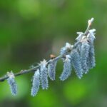
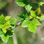
Due to a mild climate the vegetation grew luxuriantly. Dead plants did not decay entirely as the environment was saturated with water and micro-organisms had too little oxygen to feed upon. As more and more plants heaped up, lakes turned into land. The land developed into woodlands accommodating willow, birch and alder trees.
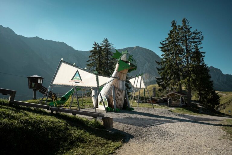
Schwarzsee - Senseland Tourismus
Schwarzseestrasse 212
1716 Schwarzsee